SOTA
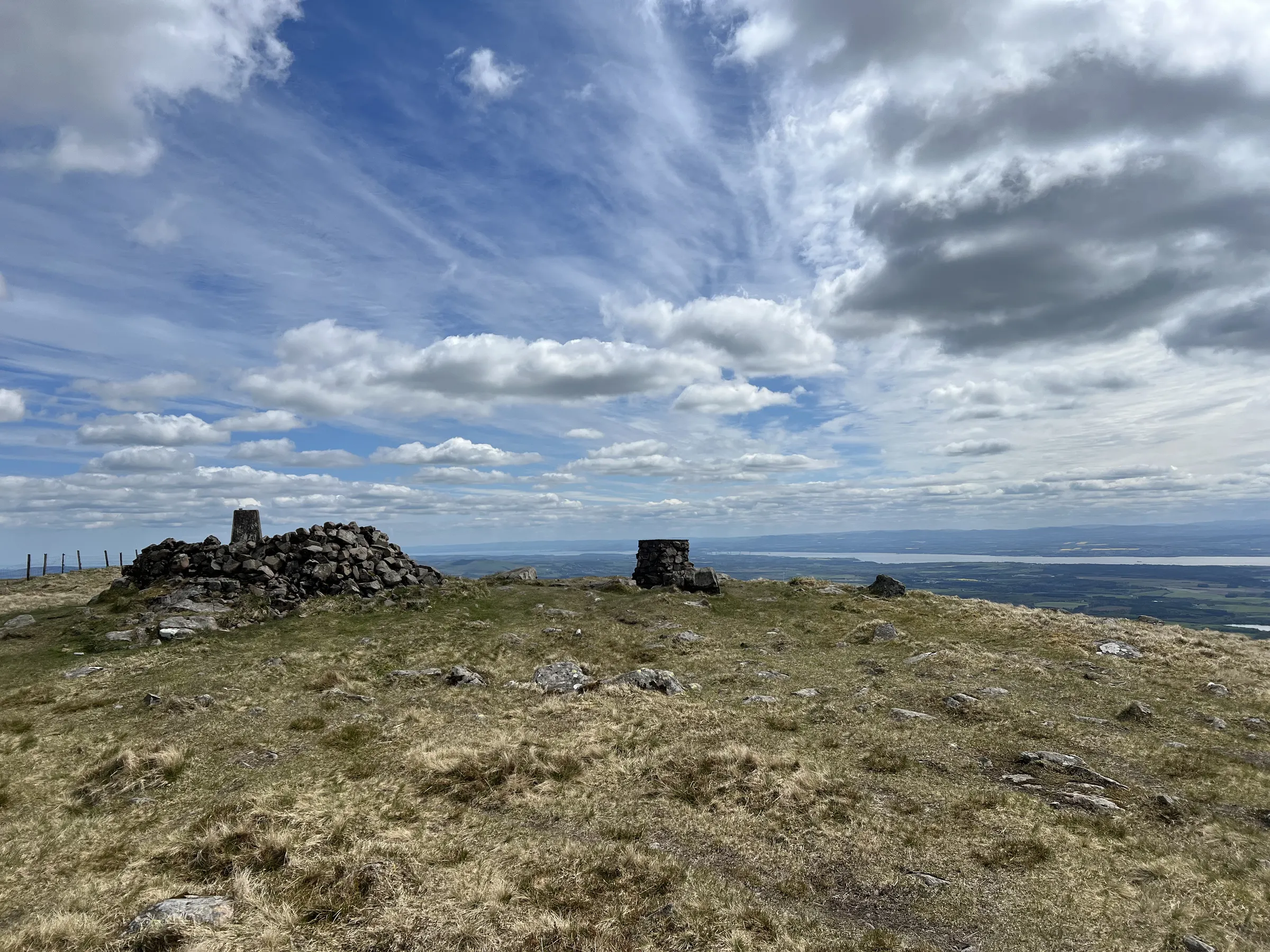
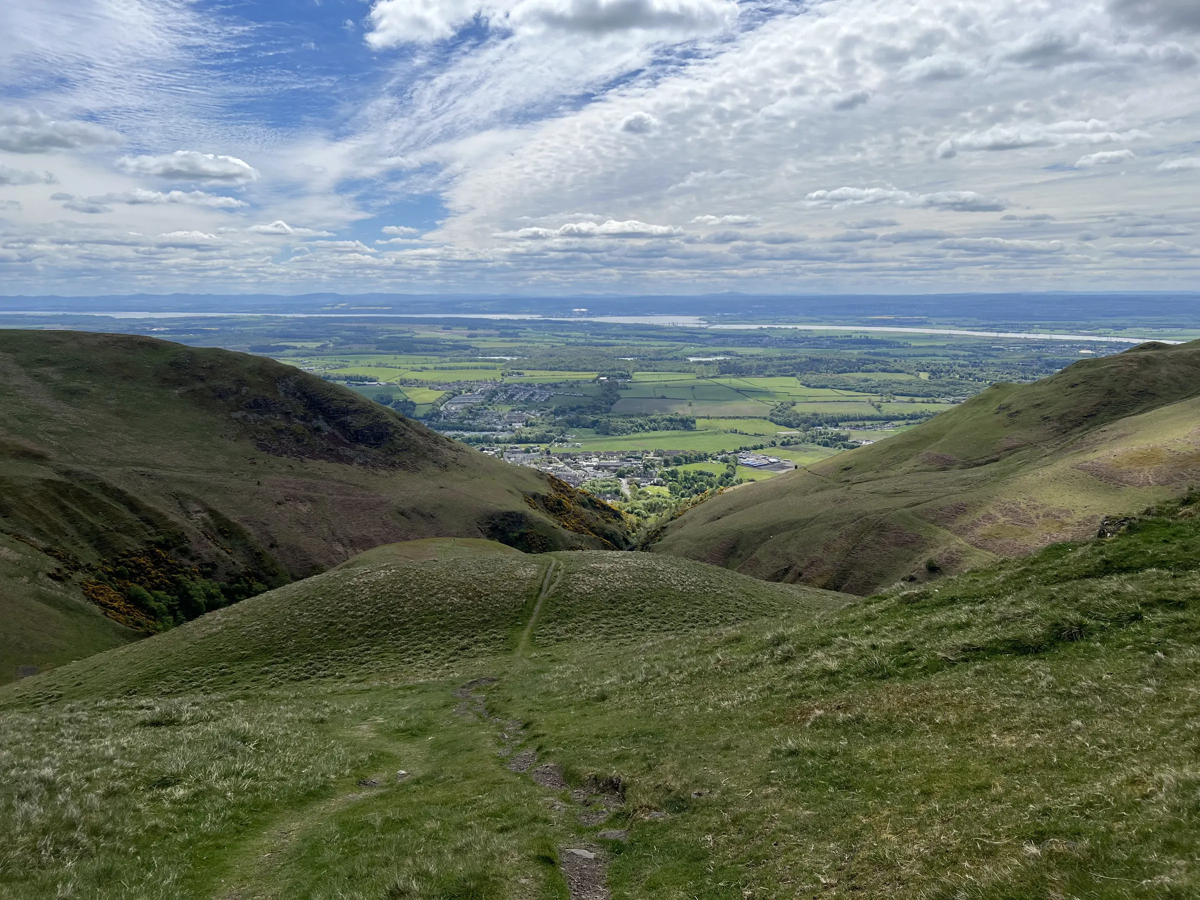
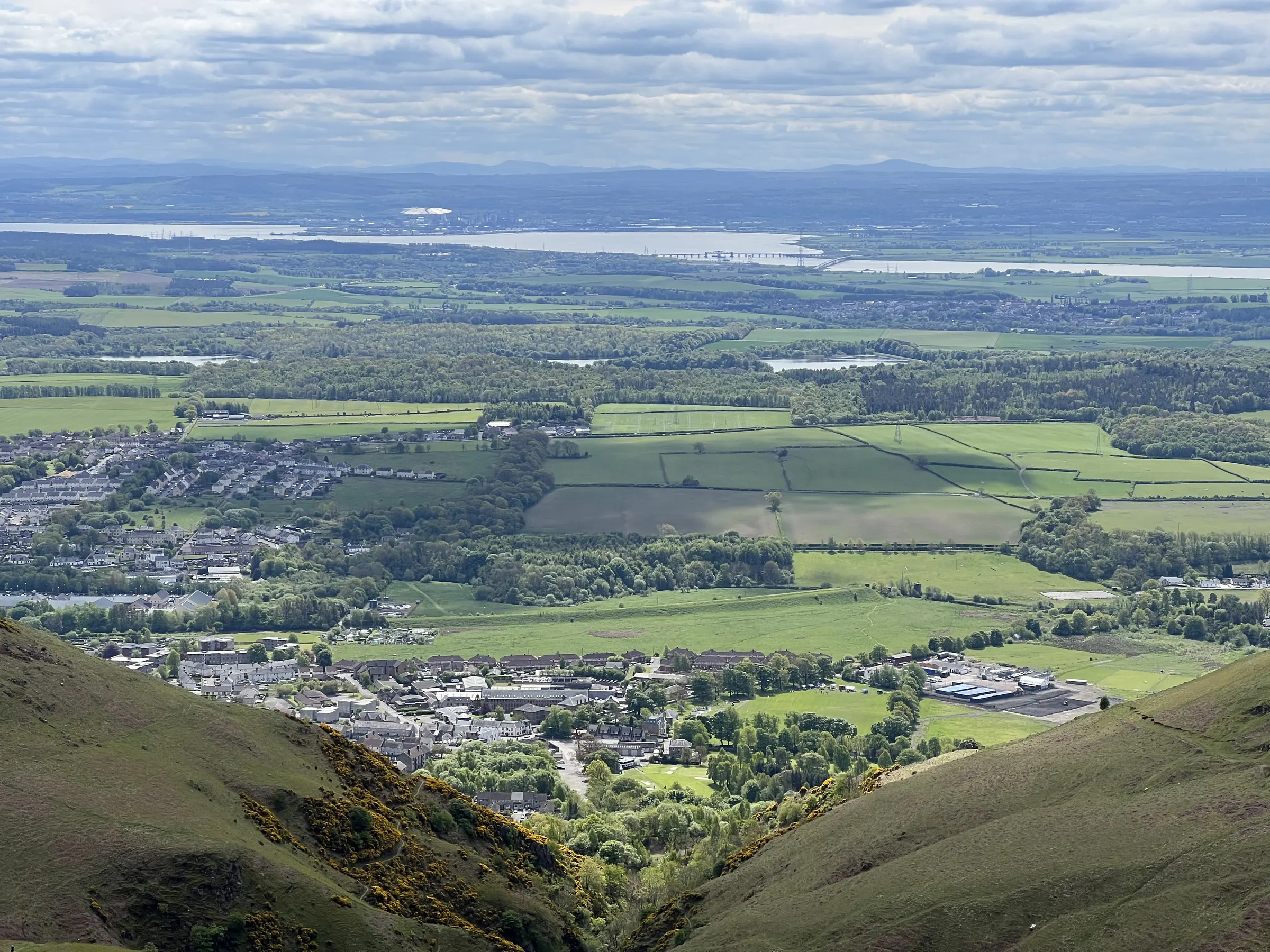
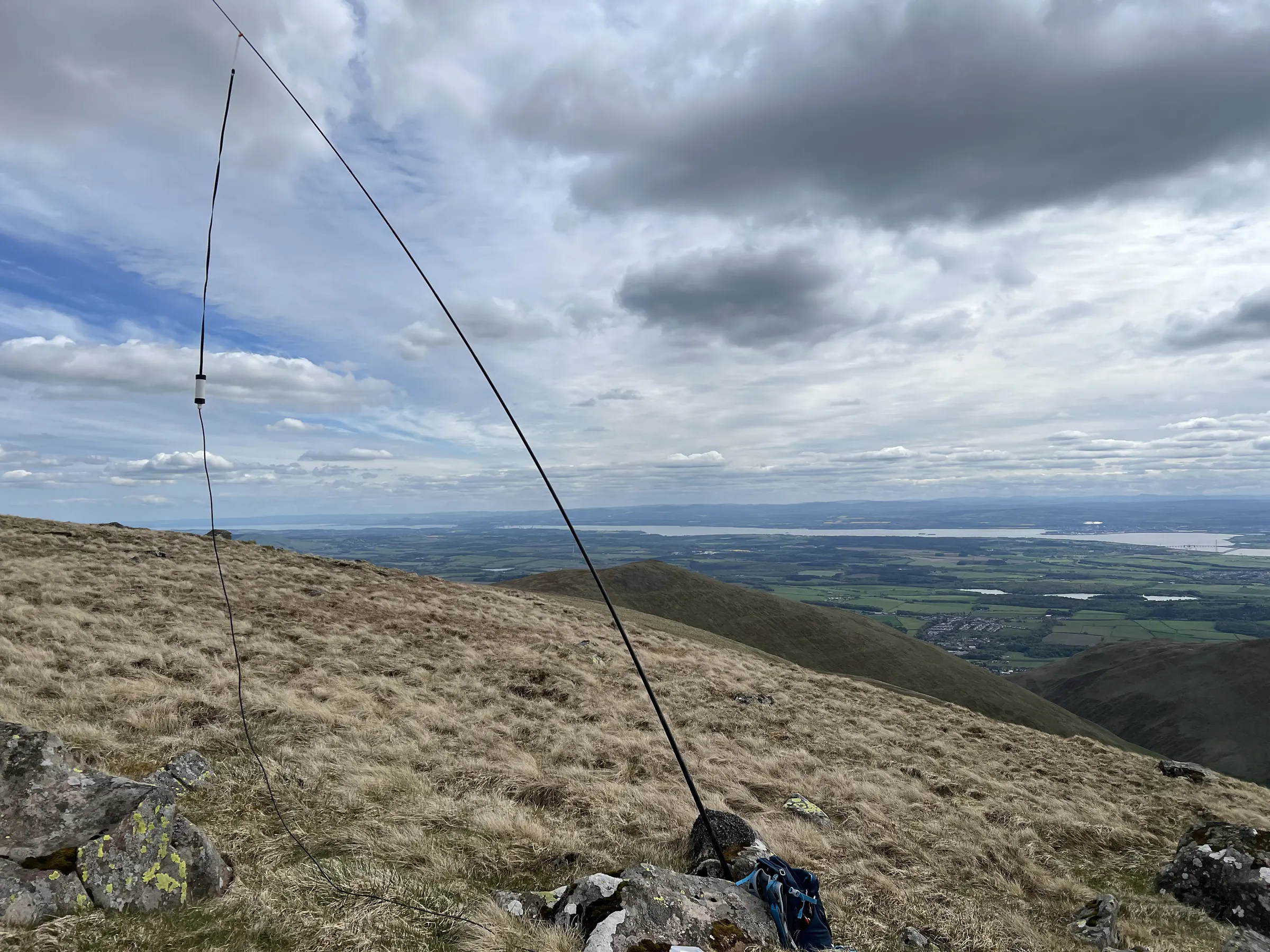
Ben Cleuch
GM/SS-059
- Height
- 721 m
- Points
- 4
- Distance
- 10.5 km
- Ascent
- 779 m
- Time
- 3h 29m
- QSOs
- 10
- Bands
- 2m
On air
| Ref | Name | Height | Pts | UTC | QSOs | Bands |
|---|
|
GM/SS-059 ✓
|
Ben Cleuch |
721 |
4 |
12:15–13:10 |
10 |
2m |
Route
10.5 km · 779 m up · high point 725 m
· GPX
Contacts
10 contacts, 10 stations · 3 summit-to-summit · best DX GM4KNU/P, 79 km on 2m
· 1 without a locator not shown on the map
Log
| UTC | Call | Band | Mode | Sent | Rcvd | km | Ref |
|---|
| 12:15 | GM4KNU/P | 2m | FM | 59 | 59 | 79 | GM/SS-220 |
| 12:18 | GM0VEK | 2m | FM | 59 | 59 | 56 | |
| 12:25 | MM6BWA/P | 2m | FM | 59 | 56 | 75 | GM/CS-083 |
| 12:30 | GM0AXY | 2m | FM | 59 | 59 | 44 | |
| 12:31 | MM7MOX/MM | 2m | FM | 59 | 58 | | |
| 12:33 | MM0JLA/P | 2m | FM | 59 | 57 | 75 | GM/CS-083 |
| 12:39 | GM4COX | 2m | FM | 59 | 59 | 51 | |
| 12:59 | MM0GLM | 2m | FM | 59 | 59 | 56 | |
| 13:08 | MM7HSC | 2m | FM | 59 | 59 | 56 | |
| 13:10 | MM7IGV | 2m | FM | 59 | 59 | 47 | |