SOTA
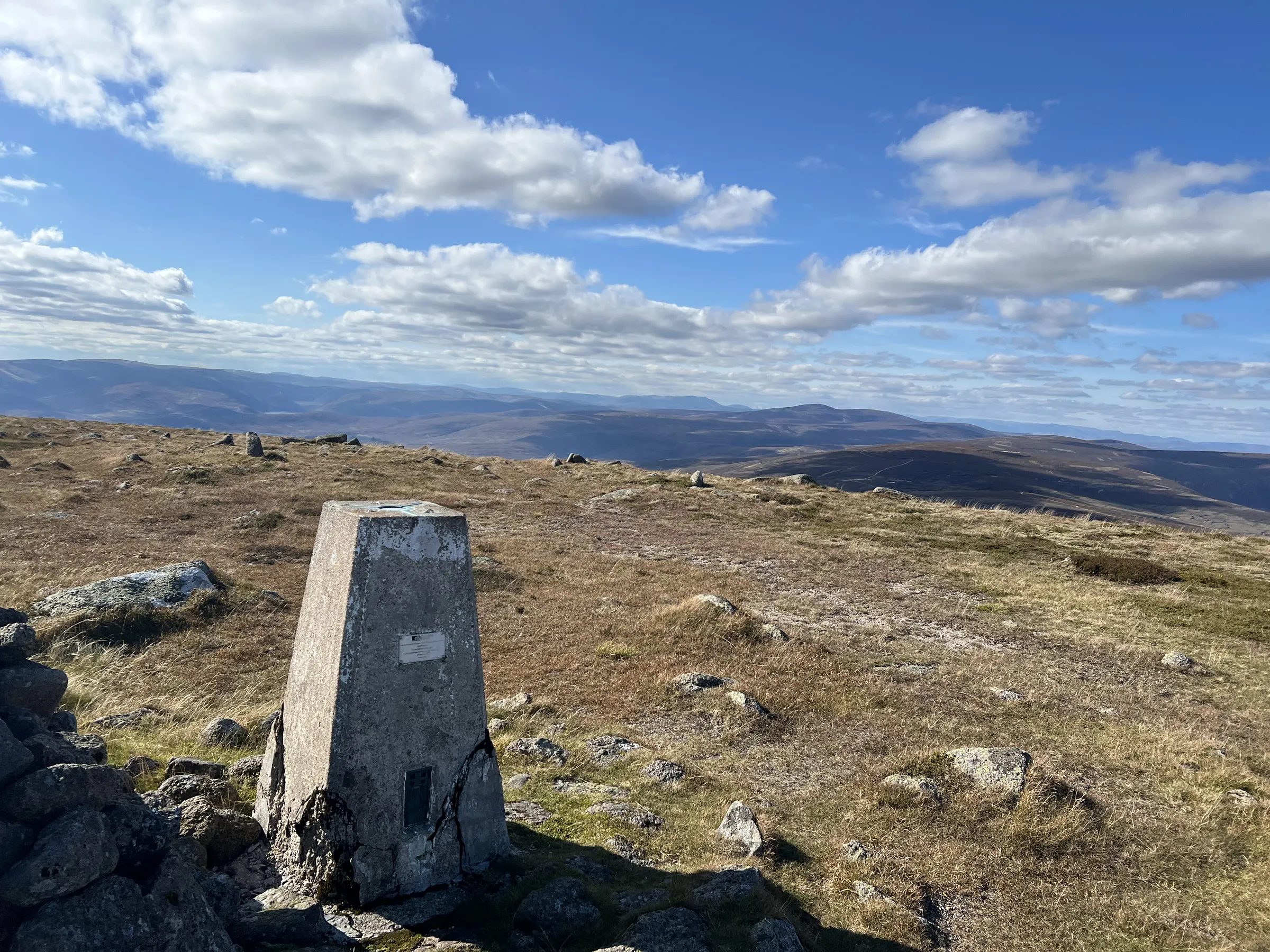
Mount Battock
GM/ES-032
- Height
- 778 m
- Points
- 4
- Distance
- 25.2 km
- Ascent
- 700 m
- Time
- 2h 46m
- QSOs
- 6
- Bands
- 2m70cm
On air
| Ref | Name | Height | Pts | UTC | QSOs | Bands |
|---|
|
GM/ES-032 ✓
|
Mount Battock |
778 |
4 |
13:09–13:21 |
6 |
2m70cm |
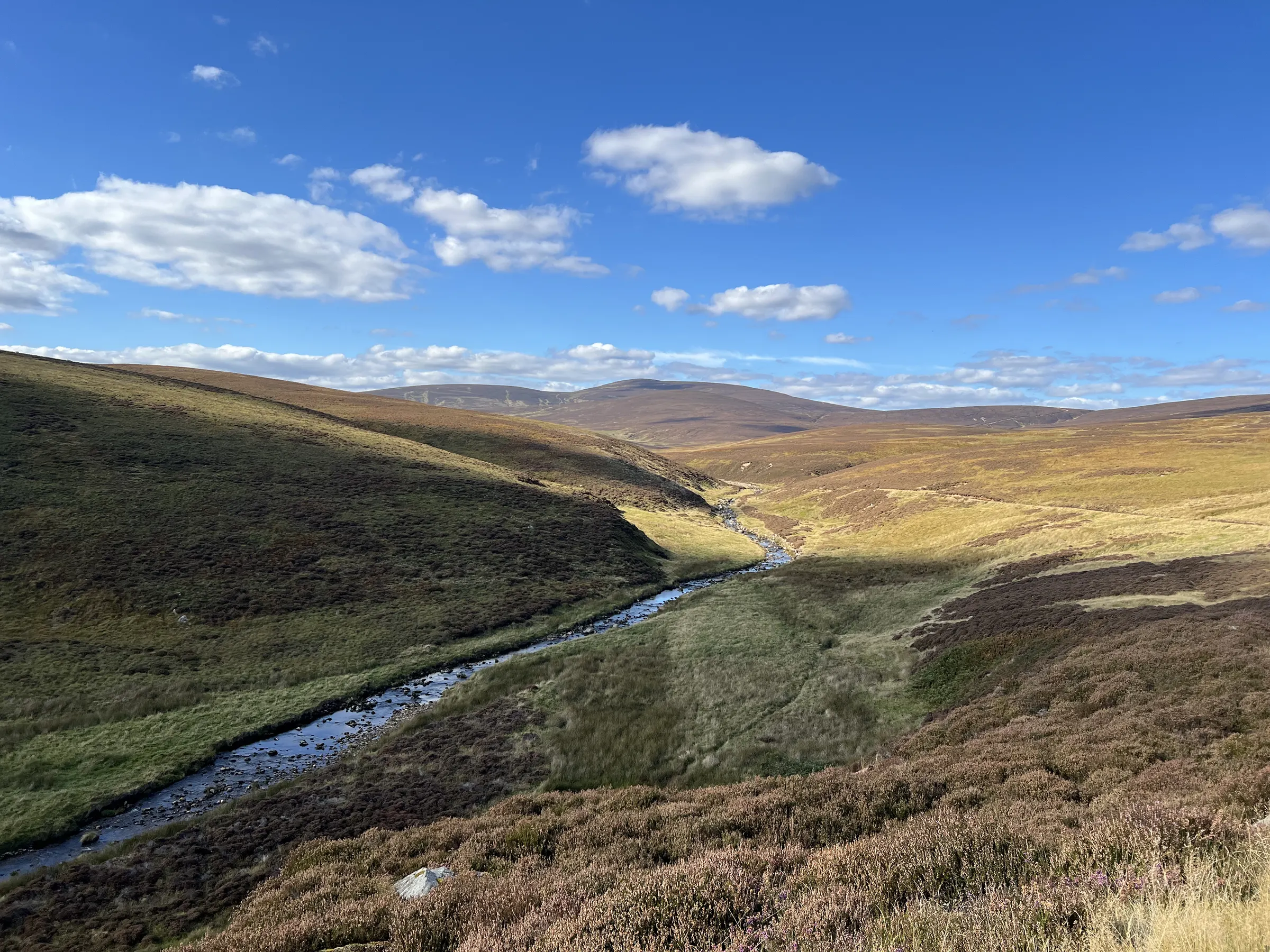
Route
25.2 km · 700 m up · high point 786 m
· GPX
Contacts
6 contacts, 5 stations · best DX 2M0KNZ, 141 km on 2m
· 1 without a locator not shown on the map
Log
| UTC | Call | Band | Mode | Sent | Rcvd | km | Ref |
|---|
| 13:09 | GM3XOQ/P | 2m | FM | 59 | 57 | | |
| 13:14 | GM0NRT | 2m | FM | 59 | 59 | 43 | |
| 13:16 | 2M0KNZ | 2m | FM | 59 | 59 | 141 | |
| 13:17 | GM0APN | 2m | FM | 59 | 59 | 49 | |
| 13:19 | GM0APN | 70cm | FM | 59 | 53 | 49 | |
| 13:21 | MM0EFI | 2m | FM | 59 | 41 | 25 | |