Morven
- Height
- 872 m
- Points
- 4
- Parks
- 2
- Distance
- 7.7 km
- Ascent
- 658 m
- Time
- 3h 05m
- QSOs
- 37
- Bands
- 40m20m10m2m
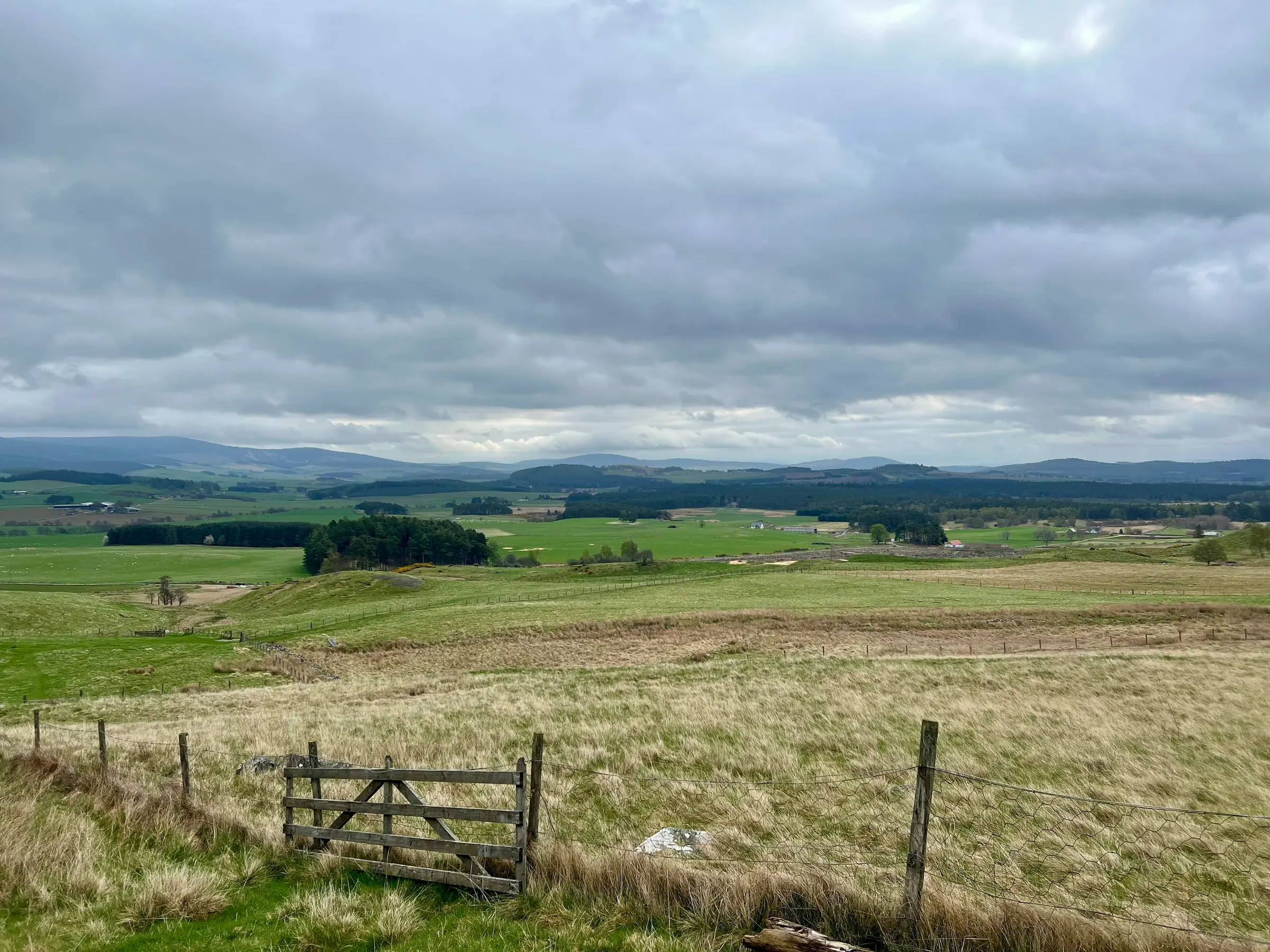
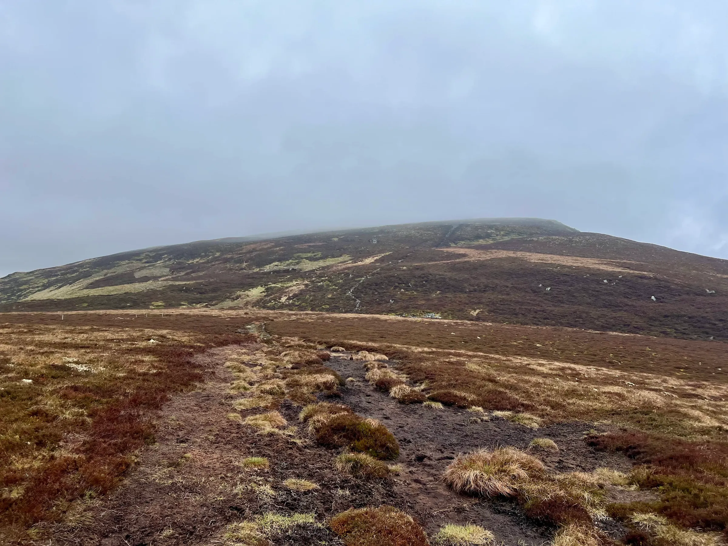
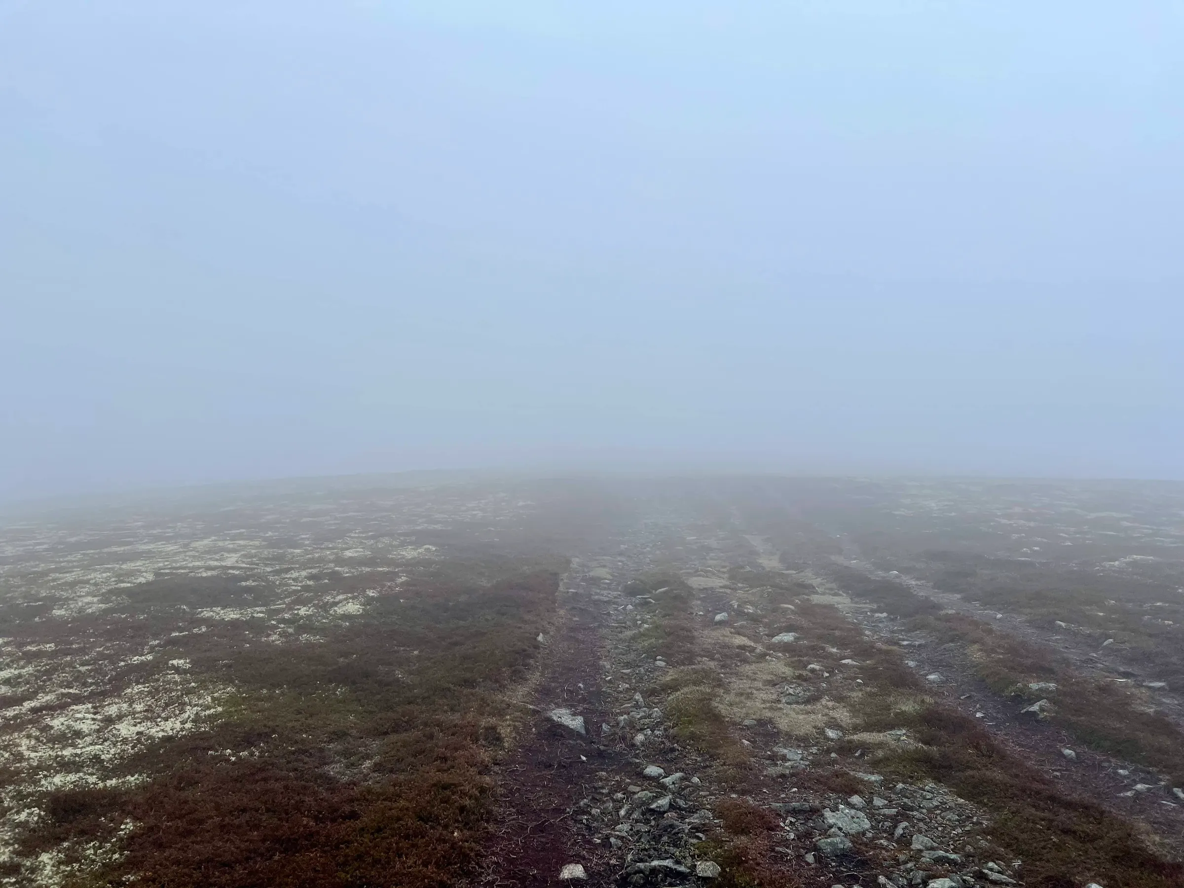
Not quite a year since I last went up it, but back again on the same route. The weather wasn't quite as nice as last time either, with low cloud and a cold wind. This time I knew about the false summits and it didn't seem nearly as bad as before. Also I've climbed a lot of hills since, so probably got better legs than I did the first time!
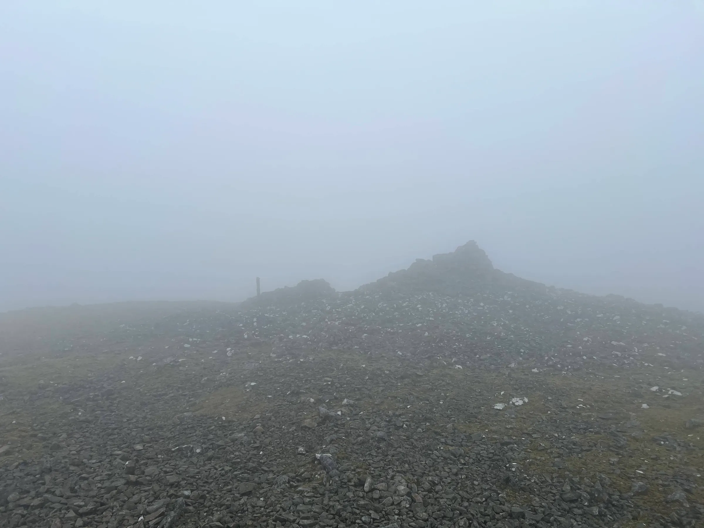
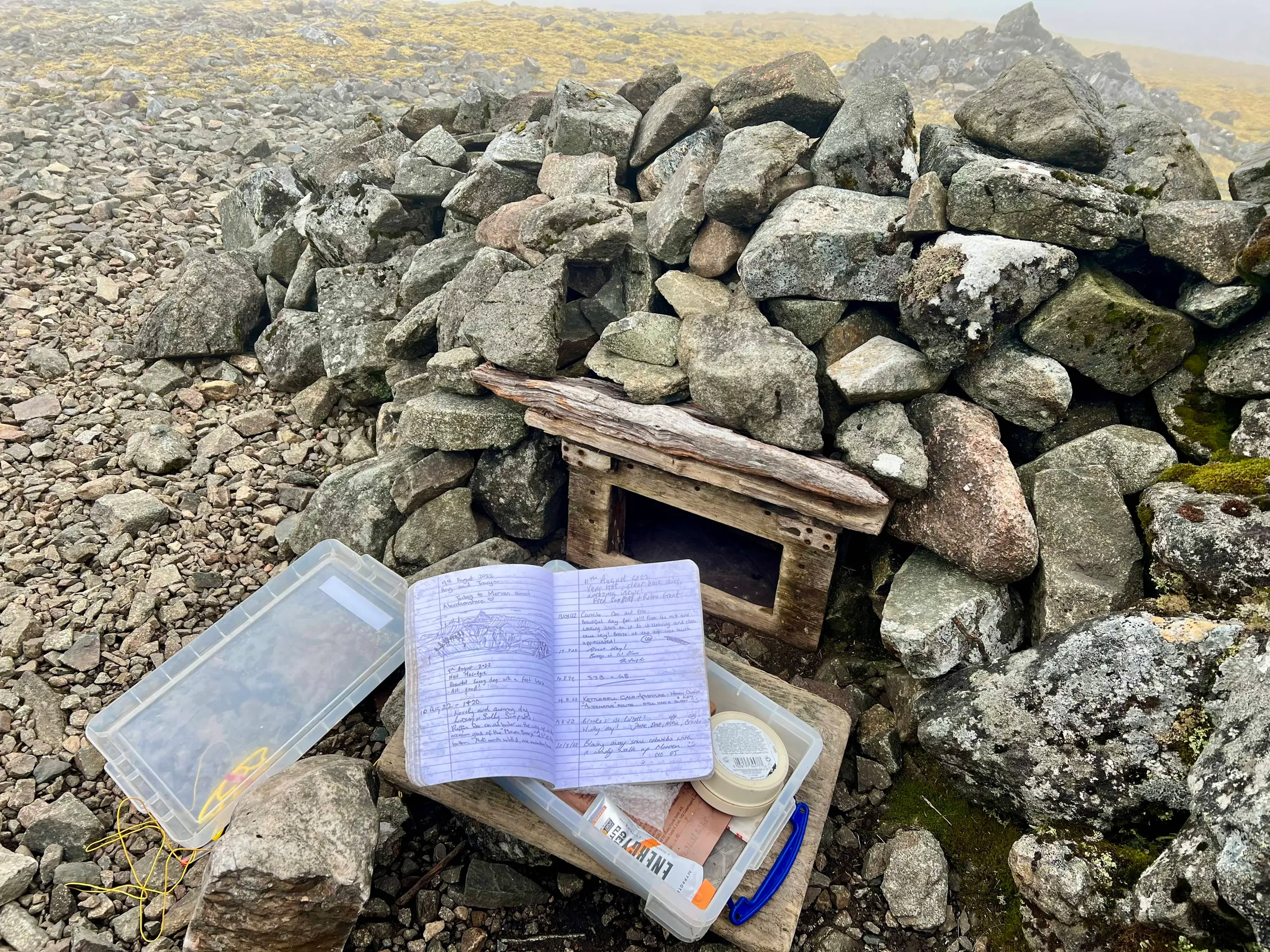
This time I spotted the little cubby with some provisions and bits in, that's inside the cairn shelter. I should make up some SOTA stickers and leave them in there next time!
I left a little note in the guest book and then setup. I did a little 2m at first, but my hands quickly got cold, and then setup on HF. Have a good run on 40m and then 20m, with several S2Ss. I was having fun but it wasn't the warmest and I also had to be back for school pick up, so packed up and headed down.
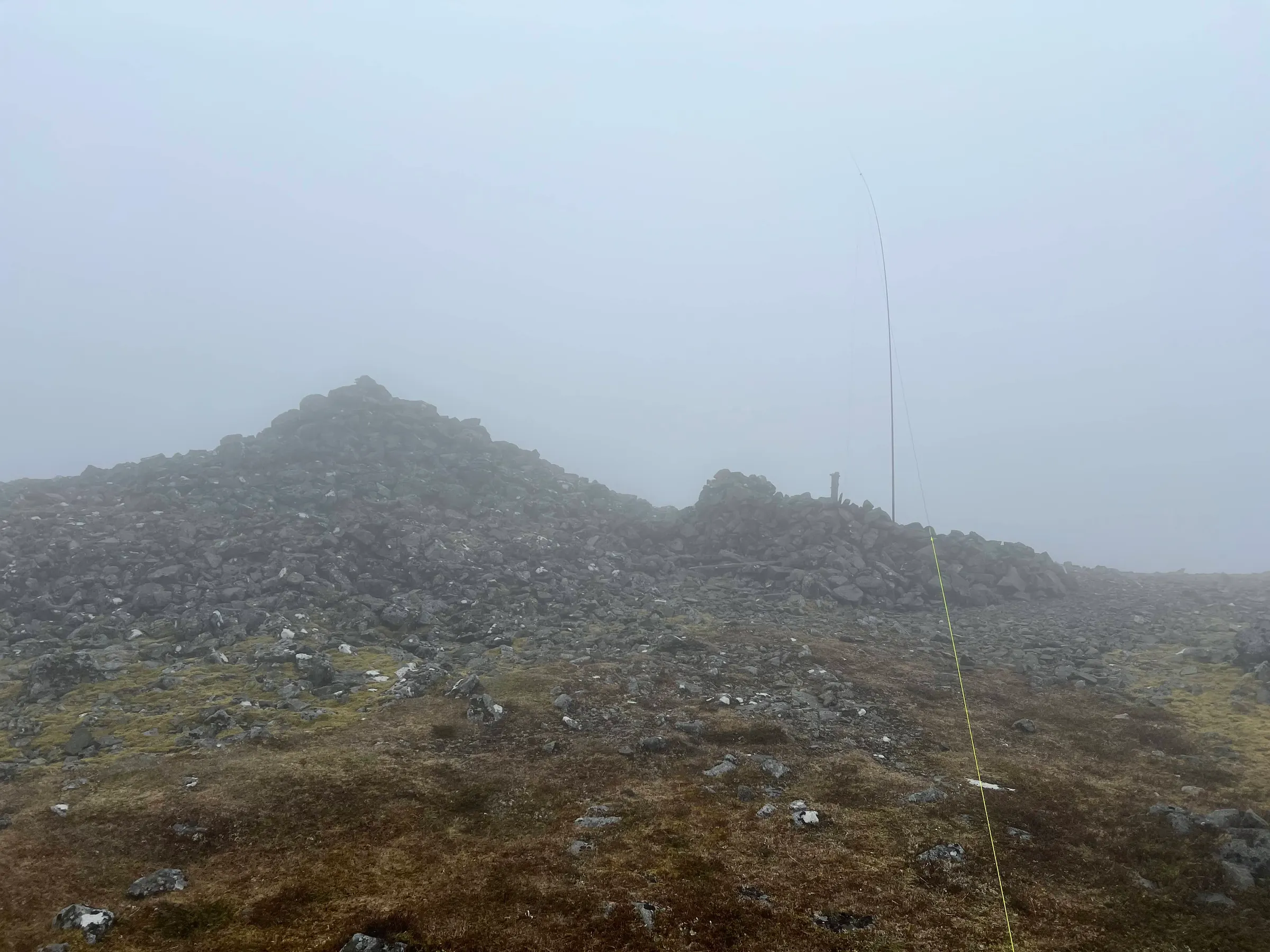

My view of Morven has changed from my least favourite 4-pointer to, somewhere in the pack. Once I do all the 4-pointers I should make a list of them.
I saw some runners come by, just in shorts and t-shirt...hope they don't trip and fall... and have a chat with an older guy making his way up. It was nice to get back below the cloud and see further than 20m in front.
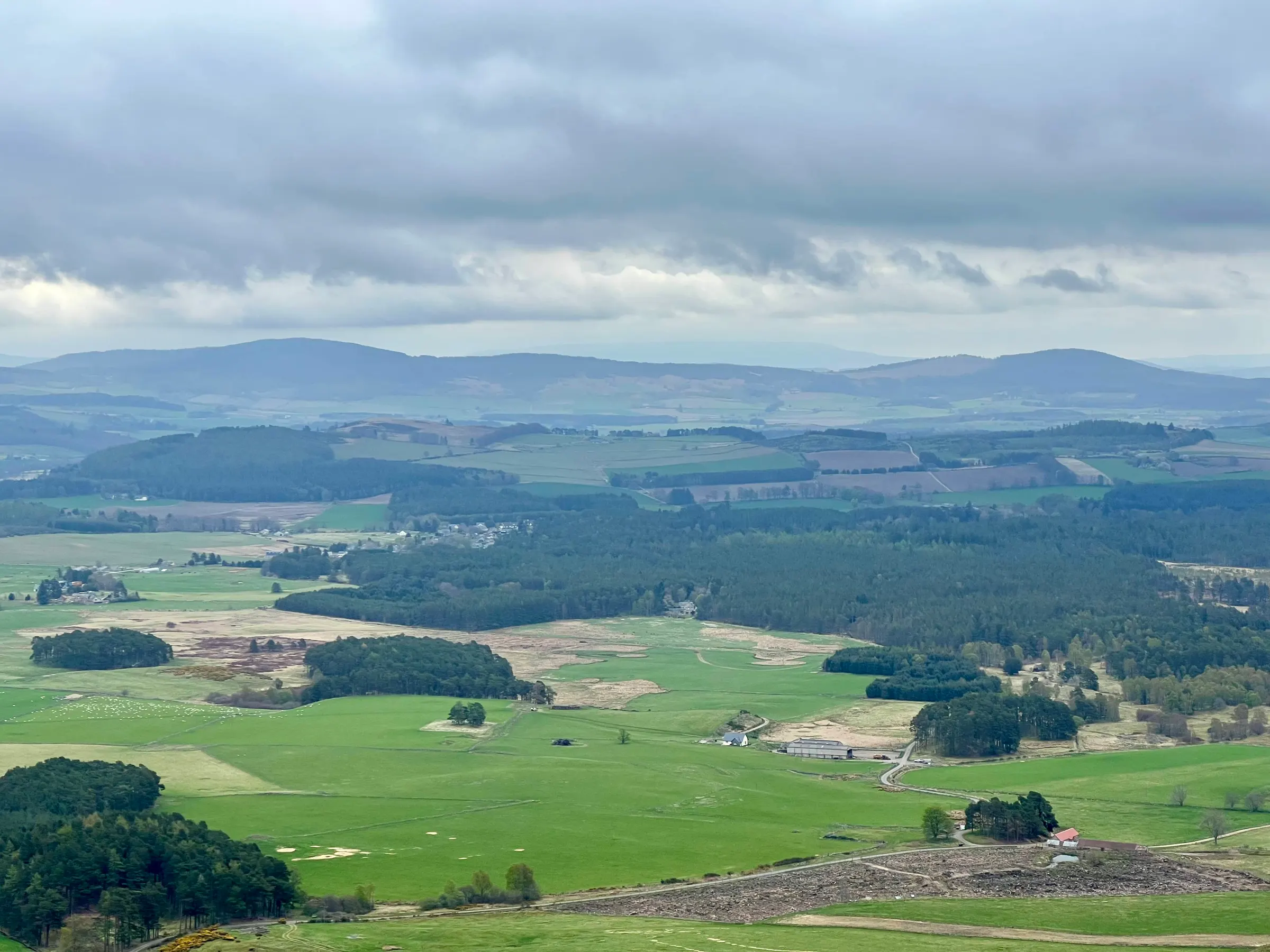
I look forward to coming back next year.
Also in SOTA Activations April-Sept.
On air
Route
Contacts
- 40m 22
- 20m 11
- 10m 1
- 2m 3
Log
| UTC | Call | Band | Mode | Sent | Rcvd | km | Ref |
|---|---|---|---|---|---|---|---|
| 10:12 | GM4JXP | 2m | FM | 59 | 59 | 16 | |
| 10:13 | 2M0RVZ | 2m | FM | 59 | 59 | 46 | |
| 10:13 | MM0RFN | 2m | FM | 59 | 59 | 55 | |
| 10:20 | MI0SRR | 40m | SSB | 55 | 57 | 362 | |
| 10:21 | GM6ZAK | 40m | SSB | 59 | 55 | 90 | |
| 10:21 | G0FEX | 40m | SSB | 57 | 58 | 511 | |
| 10:22 | 2E0AGB | 40m | SSB | 57 | 57 | ||
| 10:23 | G0BFJ | 40m | SSB | 58 | 55 | 394 | |
| 10:23 | GM4VYQ | 40m | SSB | 57 | 53 | 193 | |
| 10:24 | G6LKB | 40m | SSB | 57 | 44 | 326 | |
| 10:25 | EA2CKX | 40m | SSB | 51 | 44 | 1,569 | |
| 10:25 | G3XKT | 40m | SSB | 59 | 44 | 478 | |
| 10:27 | MW0CBC | 40m | SSB | 57 | 31 | 600 | |
| 10:28 | M1DDD | 40m | SSB | 59 | 57 | 436 | |
| 10:28 | GM4NFI | 40m | SSB | 57 | 55 | 132 | |
| 10:30 | M0TNI/P | 40m | SSB | 55 | 44 | ||
| 10:31 | GI4TAJ | 40m | SSB | 59 | 55 | 322 | |
| 10:31 | GI0AZA | 40m | SSB | 59 | 59 | 344 | |
| 10:32 | GI0AZB | 40m | SSB | 59 | 59 | 344 | |
| 10:32 | GI3VFW | 40m | SSB | 59 | 59 | 6,355 | |
| 10:33 | G4HQB/P | 40m | SSB | 57 | 52 | 309 | G/NP-013 |
| 10:34 | M0OVW/P | 40m | SSB | 57 | 52 | 309 | G/NP-013 |
| 10:35 | G6TSJ | 40m | SSB | 57 | 44 | 587 | |
| 10:41 | IK2LEY/P | 20m | SSB | 55 | 55 | 1,478 | I/PM-229 |
| 10:41 | EA1DHB | 20m | SSB | 59 | 55 | 1,578 | |
| 10:42 | SM5LNE | 20m | SSB | 55 | 59 | 1,145 | |
| 10:42 | SP6BOW | 20m | SSB | 59 | 59 | 1,628 | |
| 10:43 | OK2KG | 20m | SSB | 59 | 58 | 1,568 | |
| 10:43 | SQ9CWO | 20m | SSB | 59 | 57 | 1,552 | |
| 10:43 | OE5HDN | 20m | SSB | 59 | 53 | 1,519 | |
| 10:44 | OH8CRX | 20m | SSB | 59 | 55 | 1,739 | |
| 10:44 | EA7GV | 20m | SSB | 57 | 51 | 2,226 | |
| 10:45 | DD7UW | 20m | SSB | 57 | 55 | 1,289 | |
| 10:46 | G4OIG | 40m | SSB | 55 | 47 | 558 | |
| 10:48 | DL2DXA | 20m | SSB | 57 | 56 | 1,279 | |
| 10:51 | RW6M | 10m | SSB | 55 | 57 | 2,461 | |
| 10:56 | MM0CBC | 40m | SSB | 57 | 57 | 57 | GM/CS-094 |