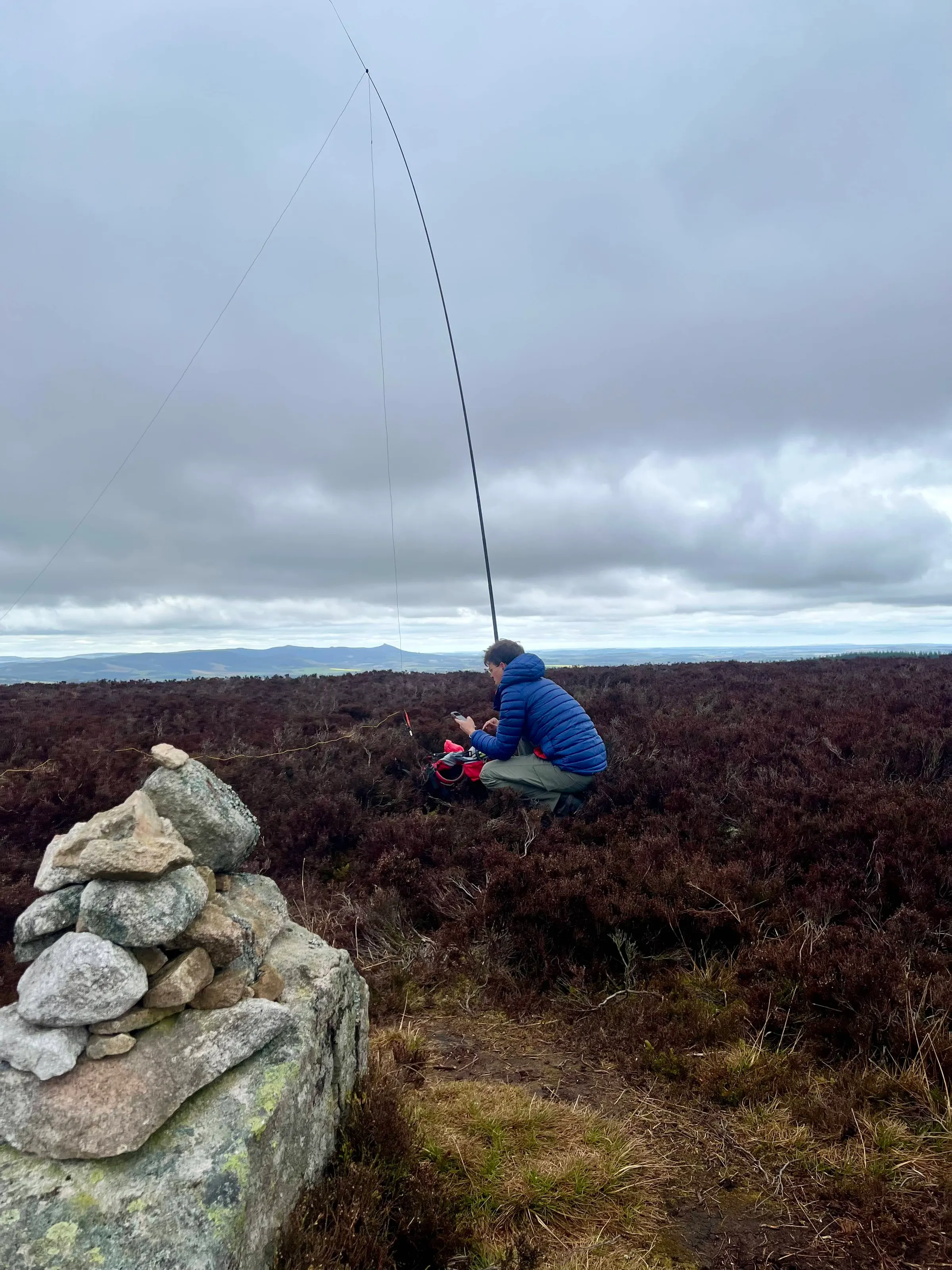
Hill of Fare
- Height
- 471 m
- Points
- 1
- Distance
- 7.0 km
- Ascent
- 177 m
- Time
- 3h 04m
- QSOs
- 27
- Bands
- 40m20m17m15m
My sister was visiting and thought I'd take her out to a local hill to experience the SOTA fun! Some of the kids came along too and that did mean it took a lot longer to get to the top than I'd planned. Especially with the usual someone walking slow and complaining. It was Tim, G5OLD, Mountain Goat activation whilst he was on holiday in the Canaries and I was hoping for a summit to summit. Unfortunately, he was done and gone by the time I was setup. I think I was in the AZ when he was on the air but I wasn't going to stop before the top to setup.
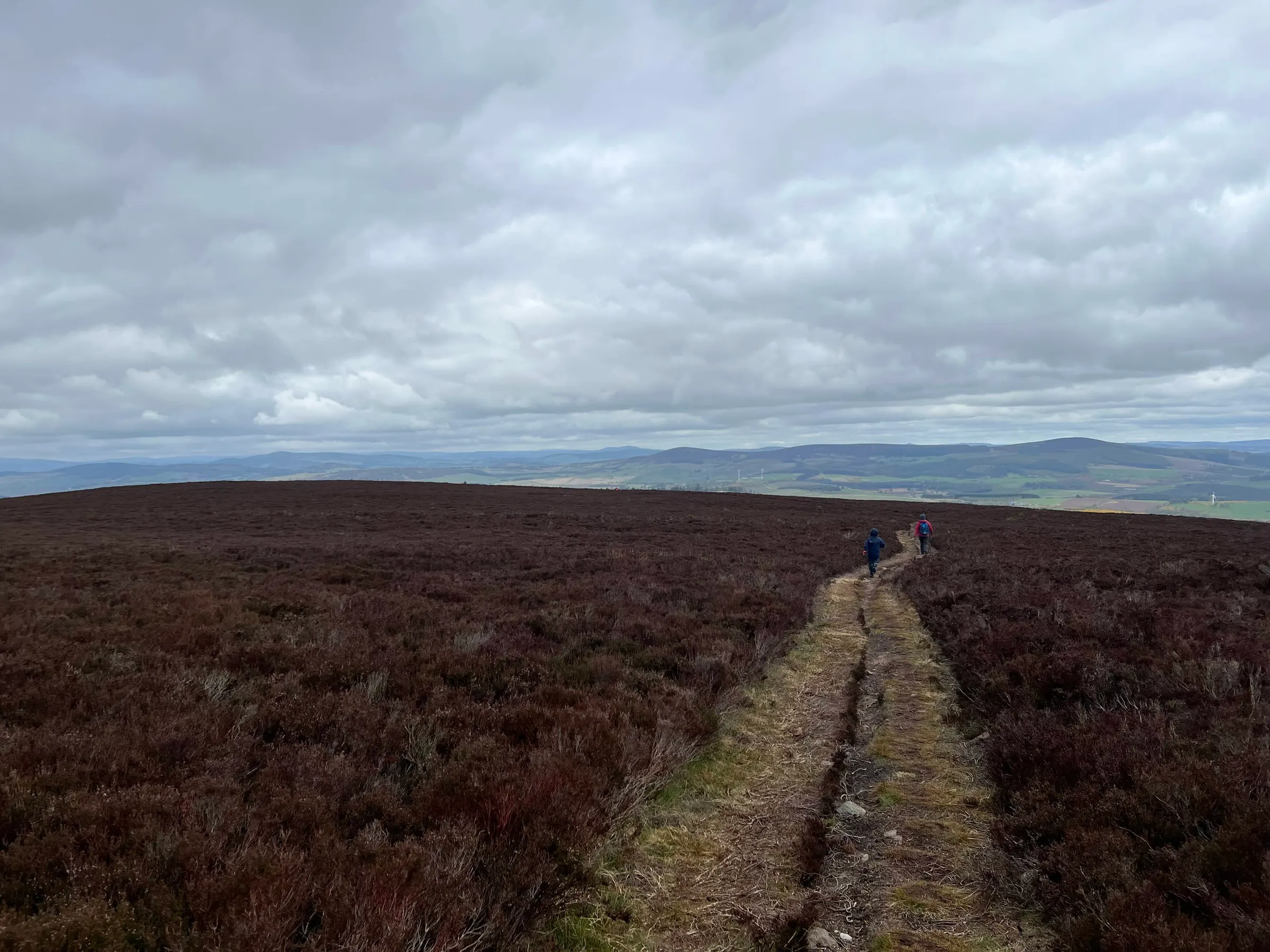
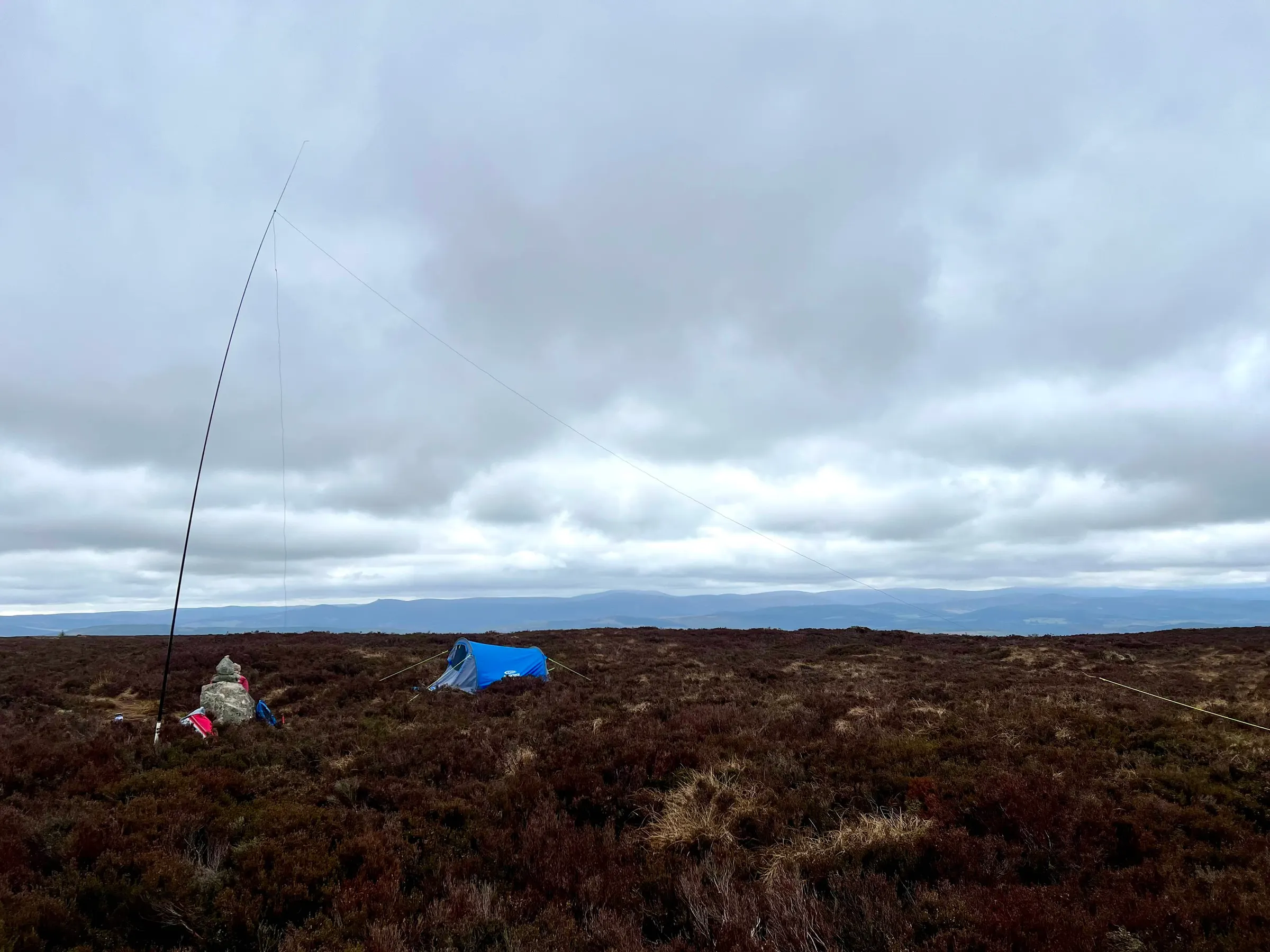
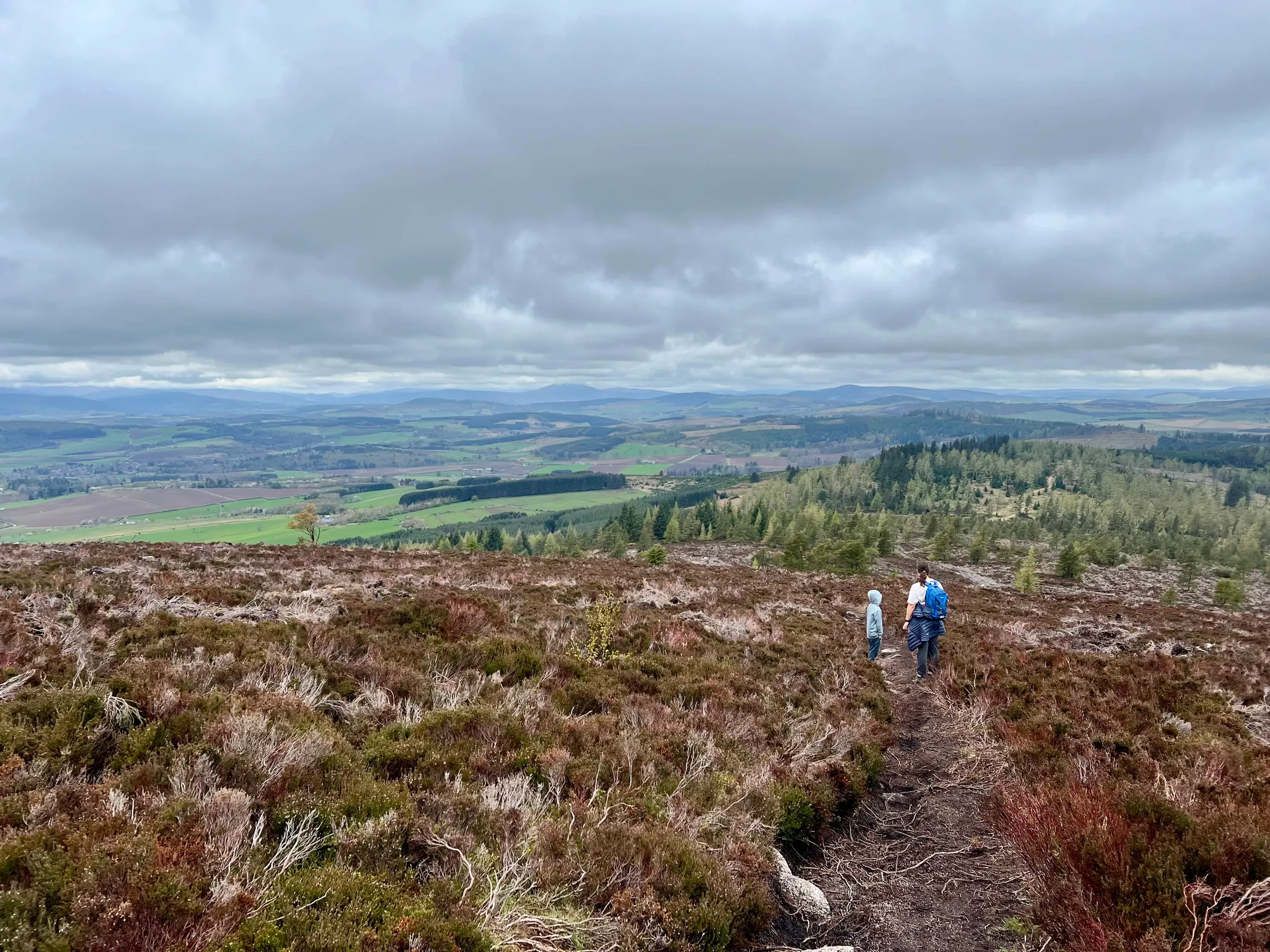
My sister commented that everyone has a certain way of talking on the radio but everyone is very nice, like actively nice! We're on the radio, so obviously we're all happy!
On air
| Ref | Name | Height | Pts | UTC | QSOs | Bands |
|---|---|---|---|---|---|---|
| GM/ES-070 ✓ | Hill of Fare | 471 | 1 | 11:03–11:39 | 27 | 40m20m17m15m |
Route
Contacts
- 40m 14
- 20m 8
- 17m 4
- 15m 1
Log
| UTC | Call | Band | Mode | Sent | Rcvd | km | Ref |
|---|---|---|---|---|---|---|---|
| 11:03 | 2M0RVZ | 40m | SSB | 59 | 57 | 20 | |
| 11:04 | MM0EFI | 40m | SSB | 59 | 55 | 25 | |
| 11:05 | G0FEX | 40m | SSB | 53 | 55 | 504 | |
| 11:05 | MW7TEW | 40m | SSB | 55 | 55 | 607 | |
| 11:06 | G0BFJ | 40m | SSB | 55 | 44 | 389 | |
| 11:09 | LB1BK | 40m | SSB | 55 | 51 | 571 | LA/HL-402 |
| 11:10 | M0MDA | 40m | SSB | 59 | 55 | 377 | |
| 11:11 | G6LKB | 40m | SSB | 57 | 55 | 328 | |
| 11:12 | MW7LTD | 40m | SSB | 55 | 53 | 607 | |
| 11:12 | M0JLA | 40m | SSB | 55 | 57 | 562 | |
| 11:13 | 2E0AGB | 40m | SSB | 55 | 57 | 386 | |
| 11:15 | DL7TG | 20m | SSB | 55 | 59 | 1,266 | DM/BW-156 |
| 11:17 | DL/HB9EIZ/P | 20m | SSB | 55 | 57 | 1,246 | DM/BW-046 |
| 11:20 | GM4JXP | 40m | SSB | 59 | 59 | 16 | |
| 11:21 | MW0CBC | 40m | SSB | 57 | 55 | 599 | |
| 11:23 | GI4TAJ | 40m | SSB | 55 | 55 | 340 | |
| 11:25 | AO1IARU | 20m | SSB | 59 | 59 | 1,861 | |
| 11:27 | SQ9MDF | 20m | SSB | 59 | 55 | 1,613 | |
| 11:27 | SQ9NOT | 20m | SSB | 57 | 59 | 1,599 | |
| 11:28 | OH3GZ | 20m | SSB | 57 | 59 | 1,684 | |
| 11:29 | DL/HB9EVF/P | 20m | SSB | 55 | 55 | 1,219 | DM/BW-857 |
| 11:30 | DL/HB9HXJ/P | 20m | SSB | 55 | 56 | 1,219 | DM/BW-857 |
| 11:35 | EA3EVL | 17m | SSB | 55 | 55 | 1,836 | |
| 11:35 | EA3HP | 17m | SSB | 59 | 59 | 1,778 | |
| 11:36 | S57ILF | 17m | SSB | 55 | 55 | 1,638 | |
| 11:37 | SQ9PBR | 17m | SSB | 59 | 58 | 1,718 | |
| 11:39 | EA4HWQ | 15m | SSB | 55 | 58 | 2,068 |