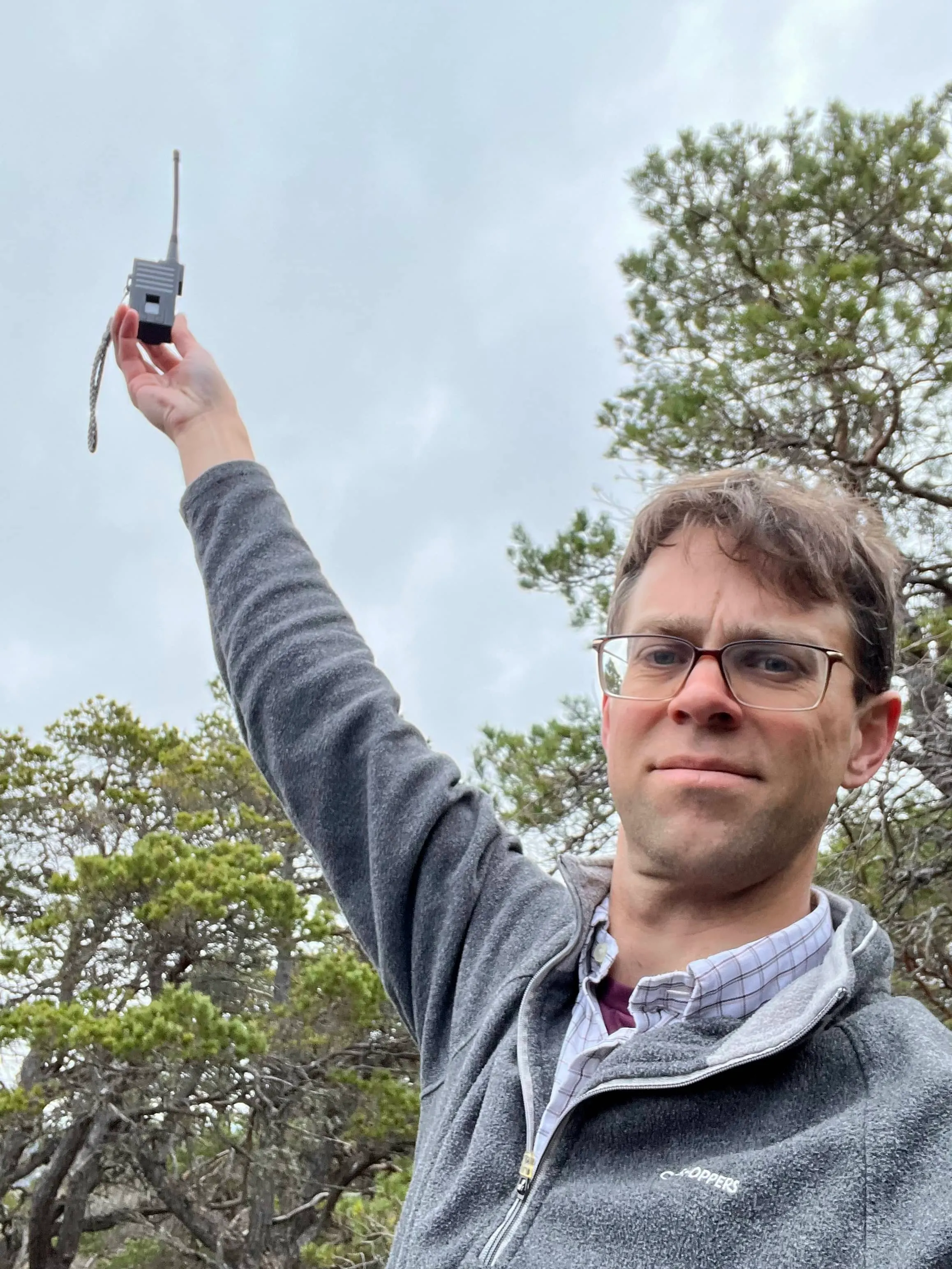
Creag Ghiubhais
- Height
- 486 m
- Points
- 1
- Distance
- 2.4 km
- Ascent
- 213 m
- Time
- 1h 22m
- QSOs
- 7
- Bands
- 40m2m
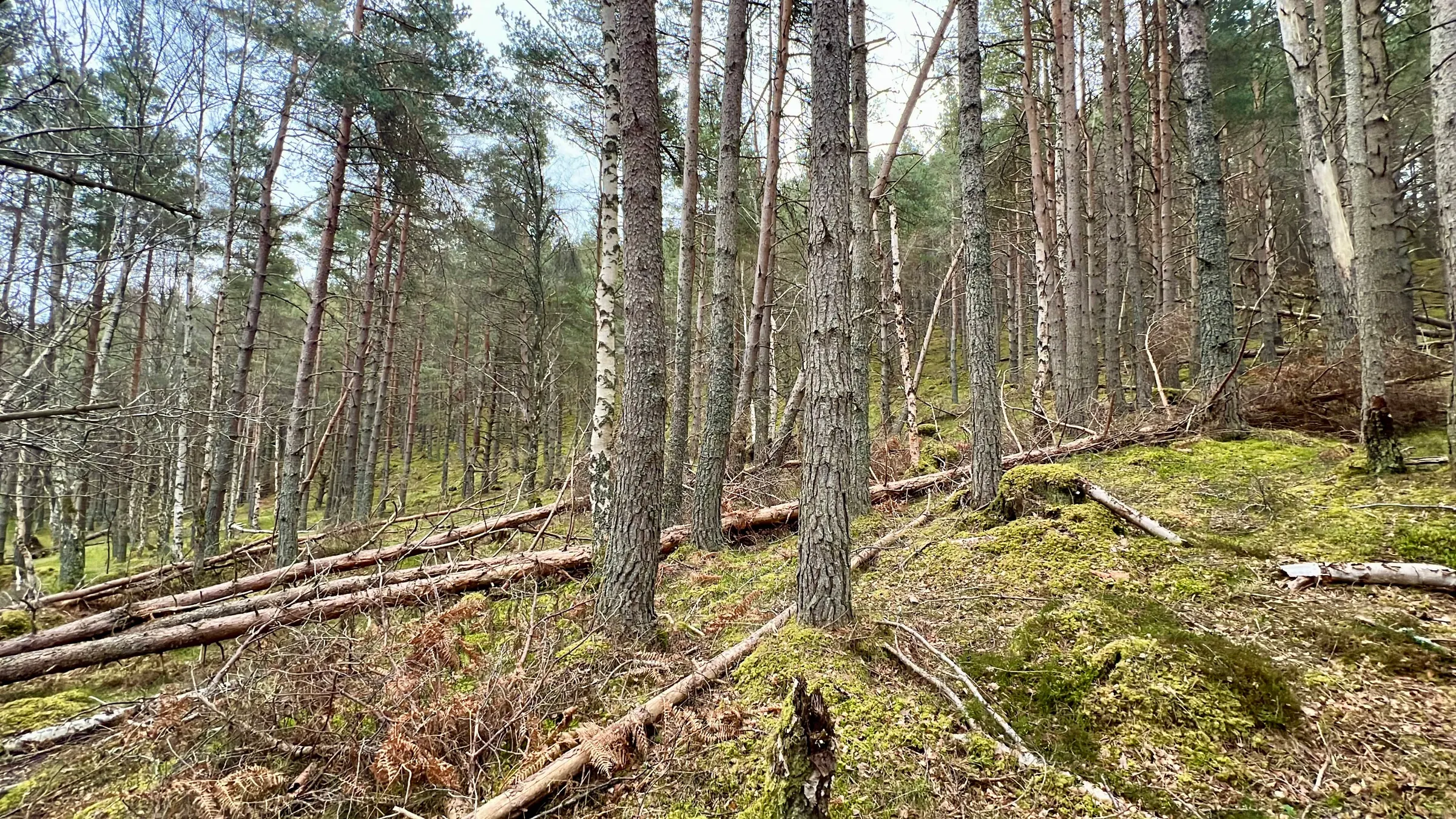
This was another early morning summit before work. A little one pointer that has a reputation of being a painful hill to climb given the terrain. It rarely activated, probably for that reason, and is on my list of GM/ES summits to activate. Fraser had just been up it the week before, after being the last person to activate it back in 2022! He said he found a better route up, and shared the path with me.
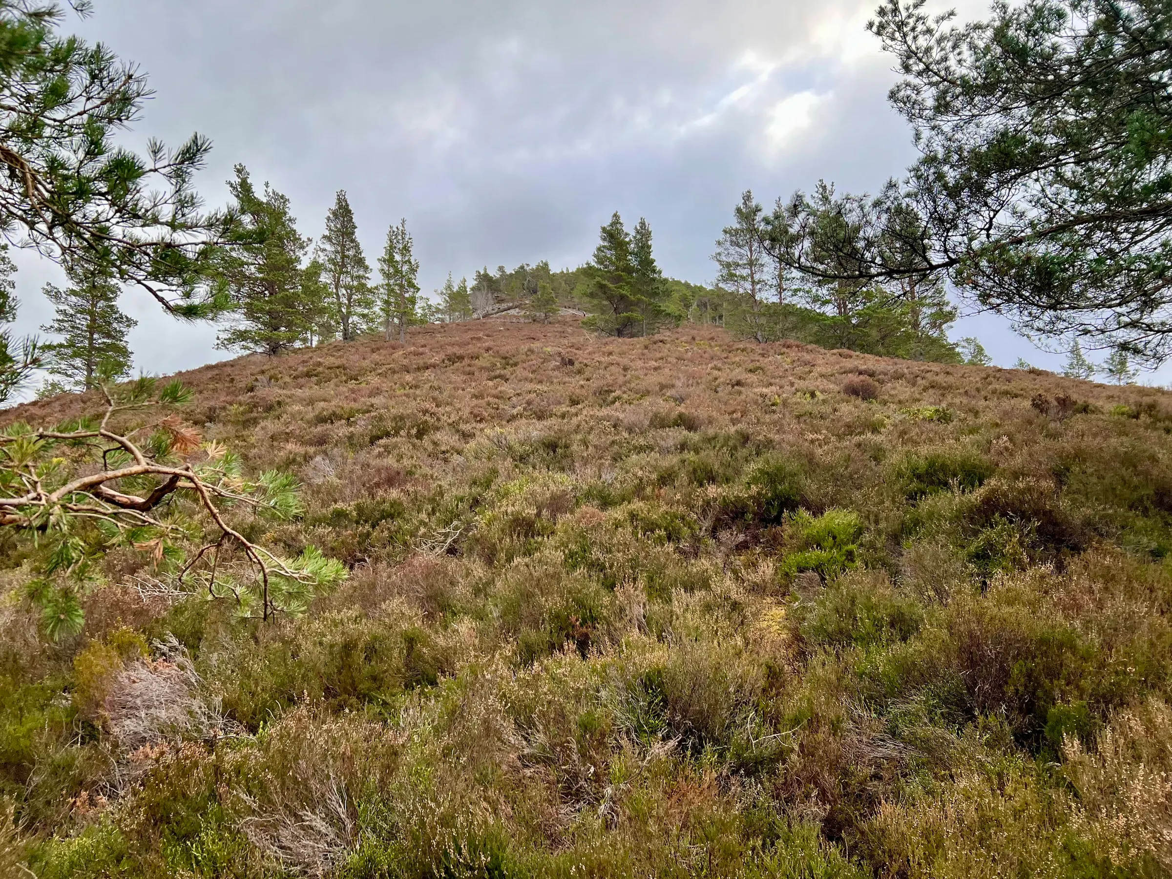
I followed his gps tracks and the route was generally fine. There's rarely a path and it's a bit more of an adventure through trees and heather. I thought it was quite fun. Sometimes following a path can be a little boring. I was soon at the top and got setup on HF. Fraser wanted to chase on 2m, for his complete, but was finding a better location.
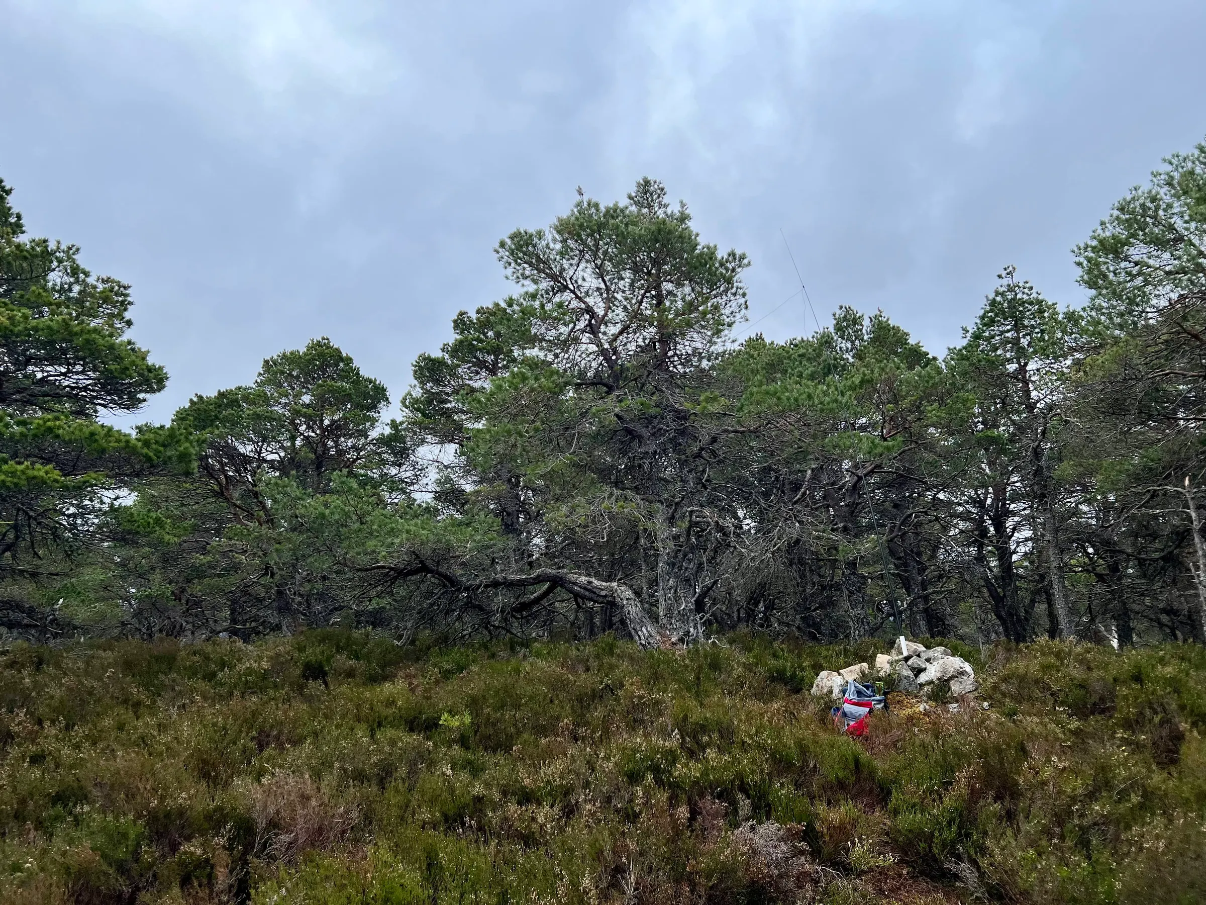
The HF bands were absolutely terrible. A big storm, G4 (out of 5) had occurred the night before and conditions were rough. I called on HF for about 15 minutes getting nothing until Fraser said he was ready on 2m. He gave me three callsigns, just in case things were that bad. I returned to HF and was determined to get the required four contacts but with different people. On 40m a couple of European stations came back, with reasonable signal reports. I tried chasing another SOTA activator in Germany. We almost made a contact on 40m but it was just too difficult with heavy fading. I heard him call me but only part of my callsign and then nothing. I tried him again on 20m but it was no use. Eventually I got another on 40m after trying all the bands and with 7 QSOs with 5 people I decided that was enough and I had to get off to work anyway.
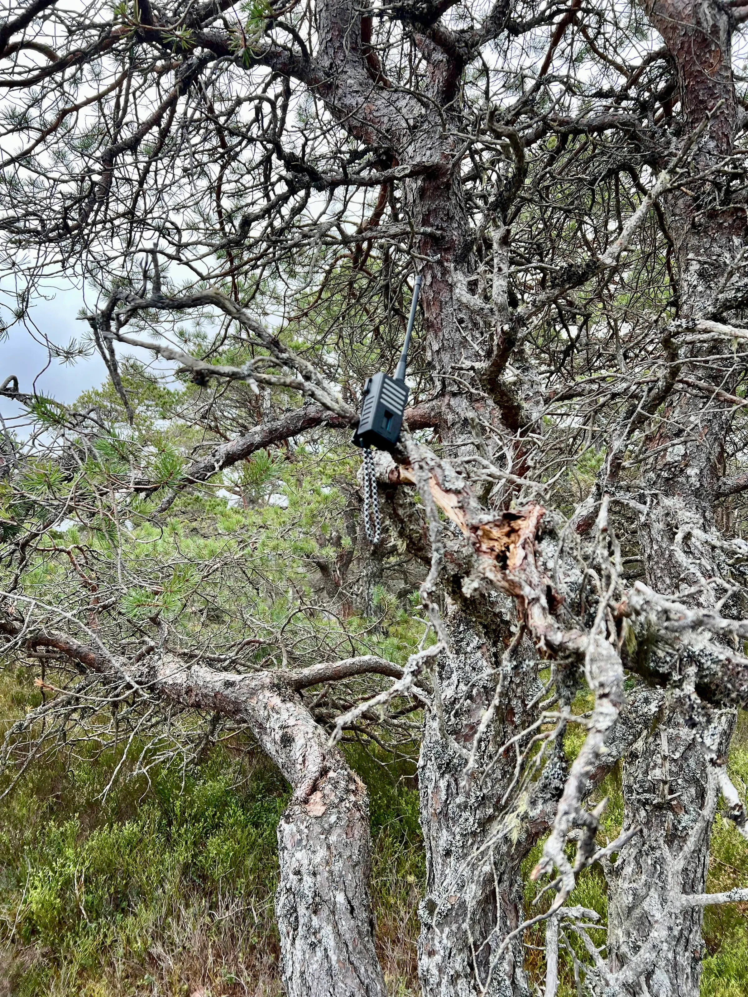
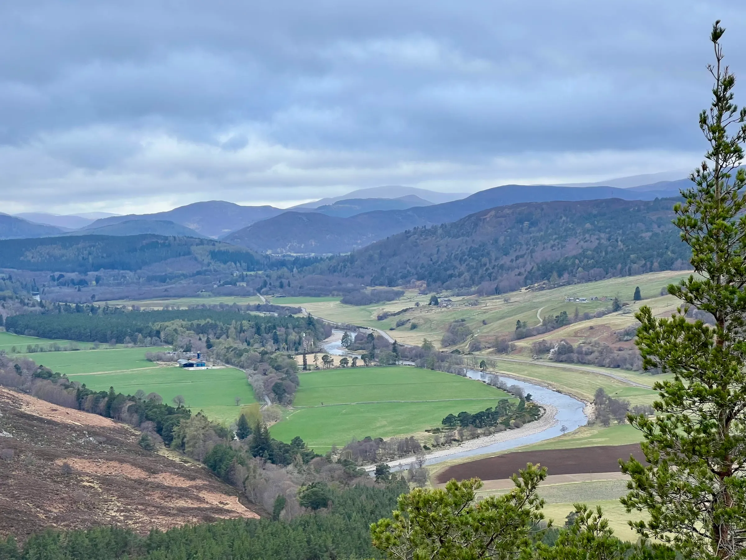
On air
Route
Contacts
- 40m 4
- 2m 3
Log
| UTC | Call | Band | Mode | Sent | Rcvd | km | Ref |
|---|---|---|---|---|---|---|---|
| 07:13 | MM0EFI/P | 2m | FM | 59 | 57 | ||
| 07:14 | GM0ESS | 2m | FM | 59 | 57 | 9 | |
| 07:15 | 2M0EFI | 2m | FM | 59 | 57 | 15 | |
| 07:21 | F5PYI | 40m | SSB | 59 | 55 | 1,408 | |
| 07:21 | SM4CJM | 40m | SSB | 57 | 55 | 1,159 | |
| 07:23 | DL2DXA/P | 40m | SSB | 55 | 54 | ||
| 07:39 | M0RWX | 40m | SSB | 59 | 55 | 609 |