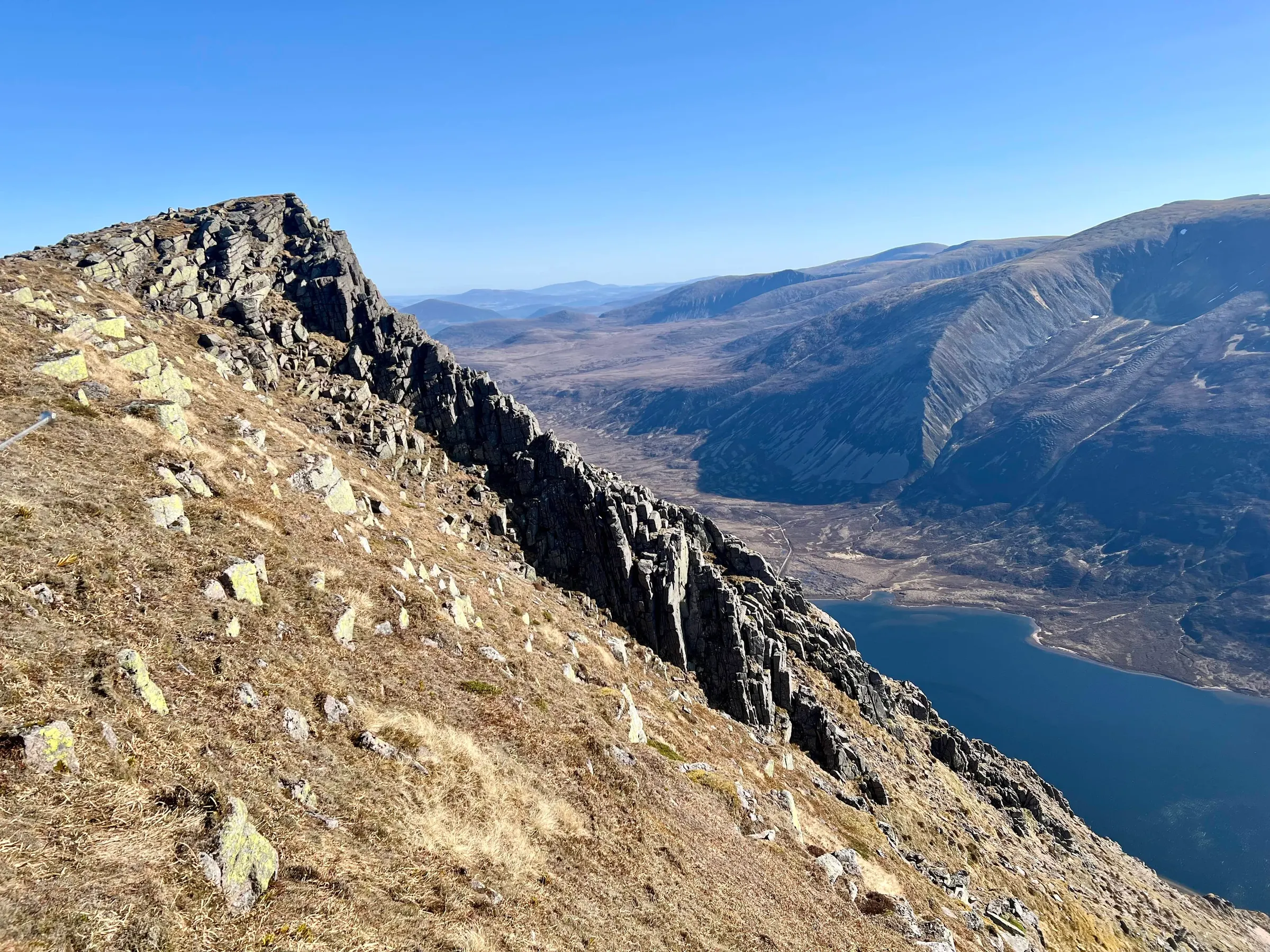
Sgor Gaoith
GM/ES-009 GB-0835GB-0836GB-0908GB-3004
- Height
- 1,118 m
- Points
- 10
- Parks
- 4
- Distance
- 23.4 km
- Ascent
- 1,066 m
- Time
- 6h 23m
- QSOs
- 16
- Bands
- 40m20m15m2m
Today the dads get to go off on a big walk! I had looked at a route doing Braeriach, Cairn Toul and Sgor Gaoith in one go, but it was pretty long, about 40 km, and would take all day. So we settled on a shorter route of Sgor Goaith - another Aviemore side summit - and also another munro, although not a SOTA summit, Mullach Clach a' Bhlàir.
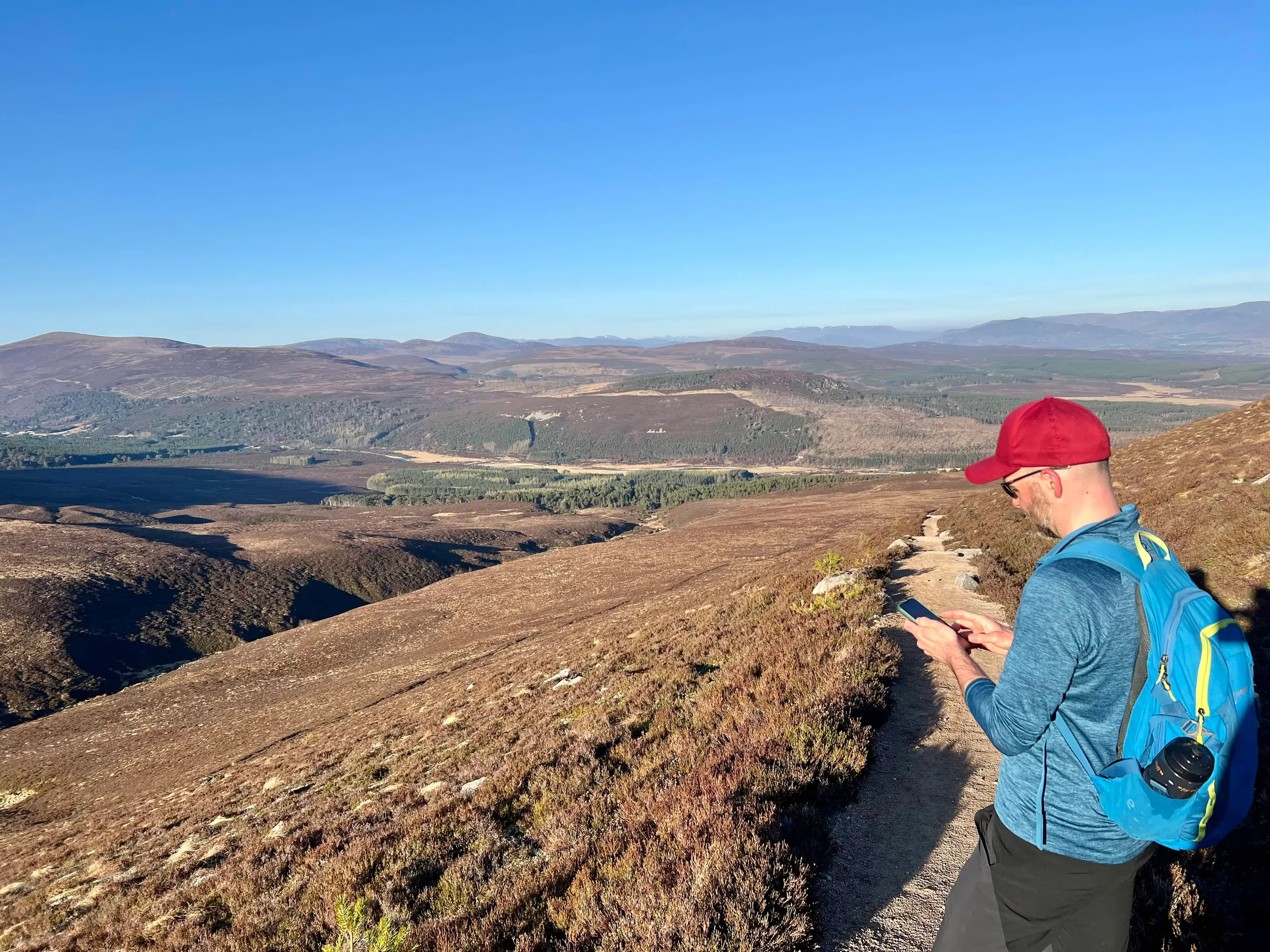
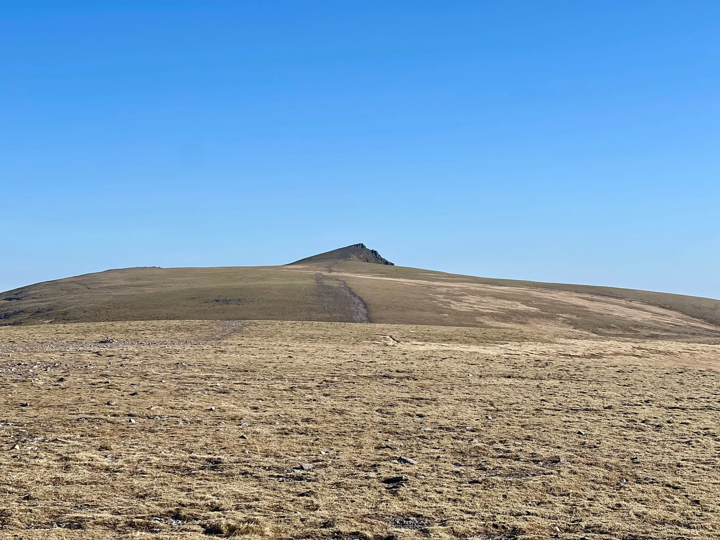
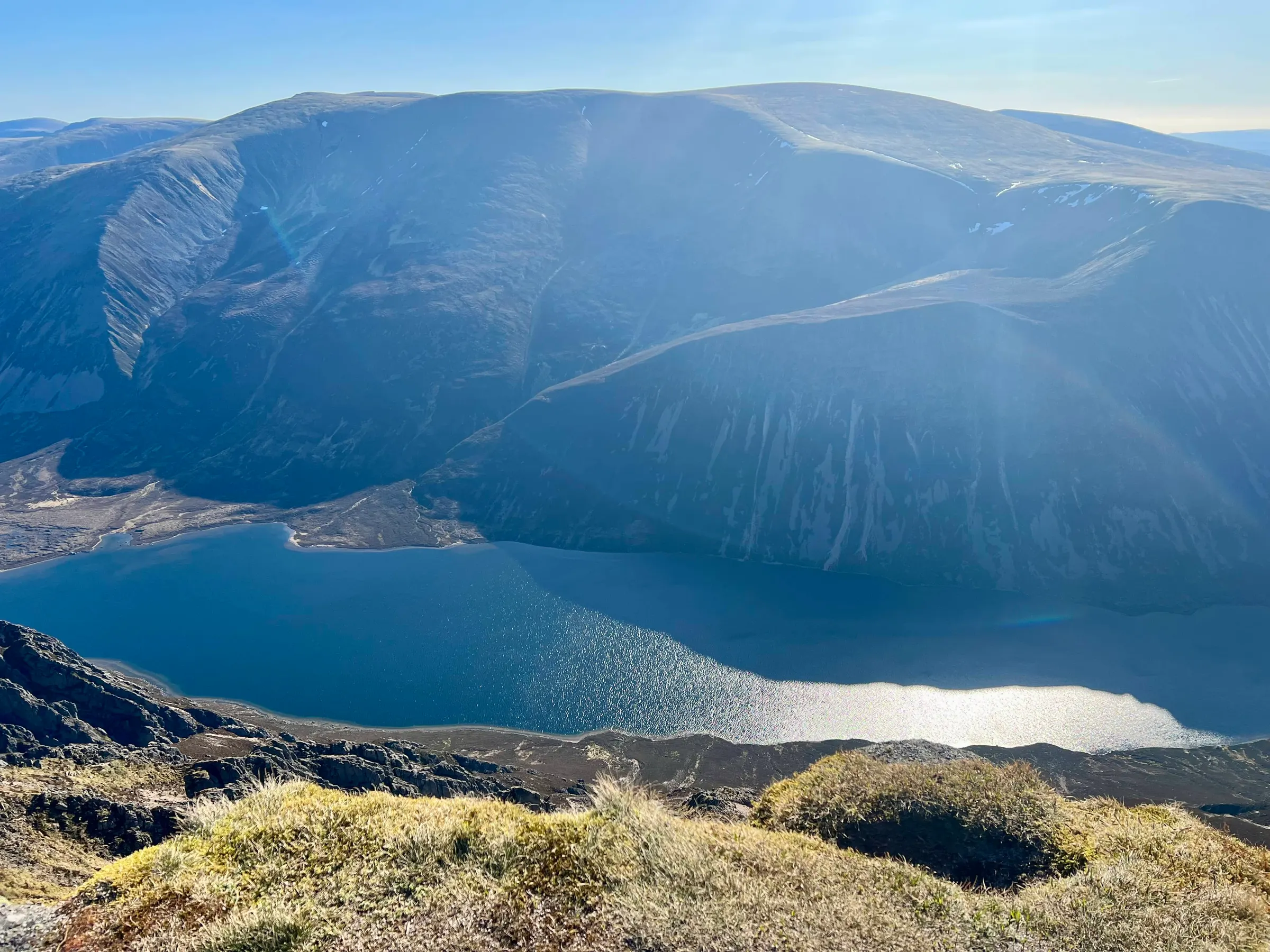


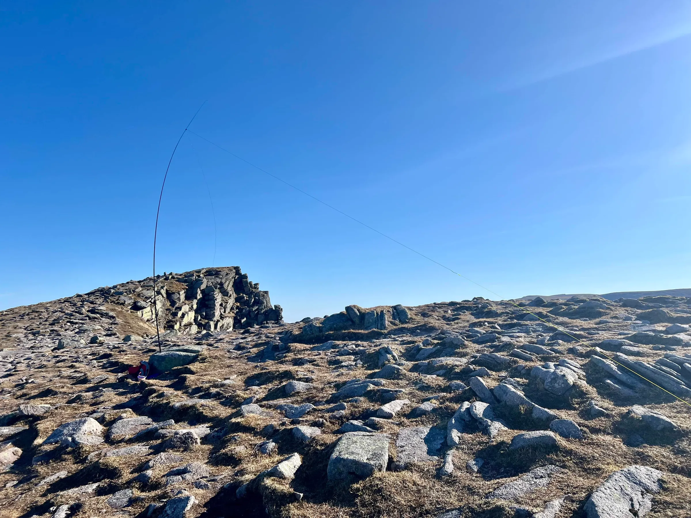
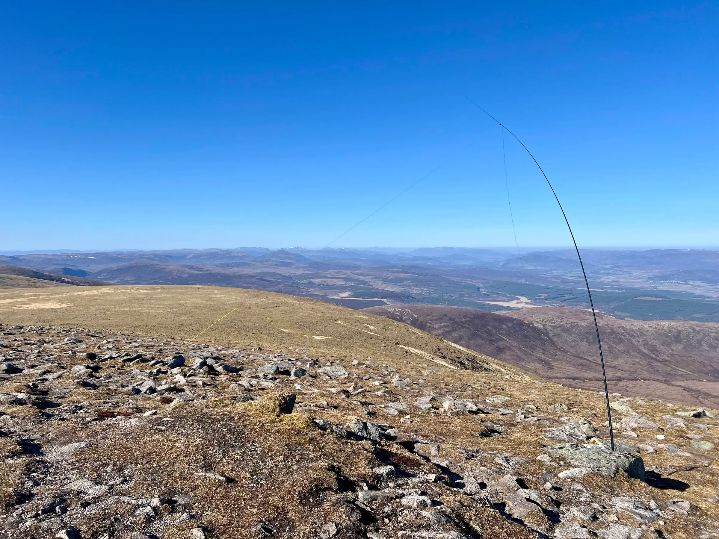
HF was okay on 40m, and 15m got Ukraine straight way. The most excitement was from 2m, just using my RH-770 and getting a S2S with Alan, MM0VPM, on Arran and then a QSO with MM6OEC in the Outer Hebrides 200km away. Then it was off to our second munro.
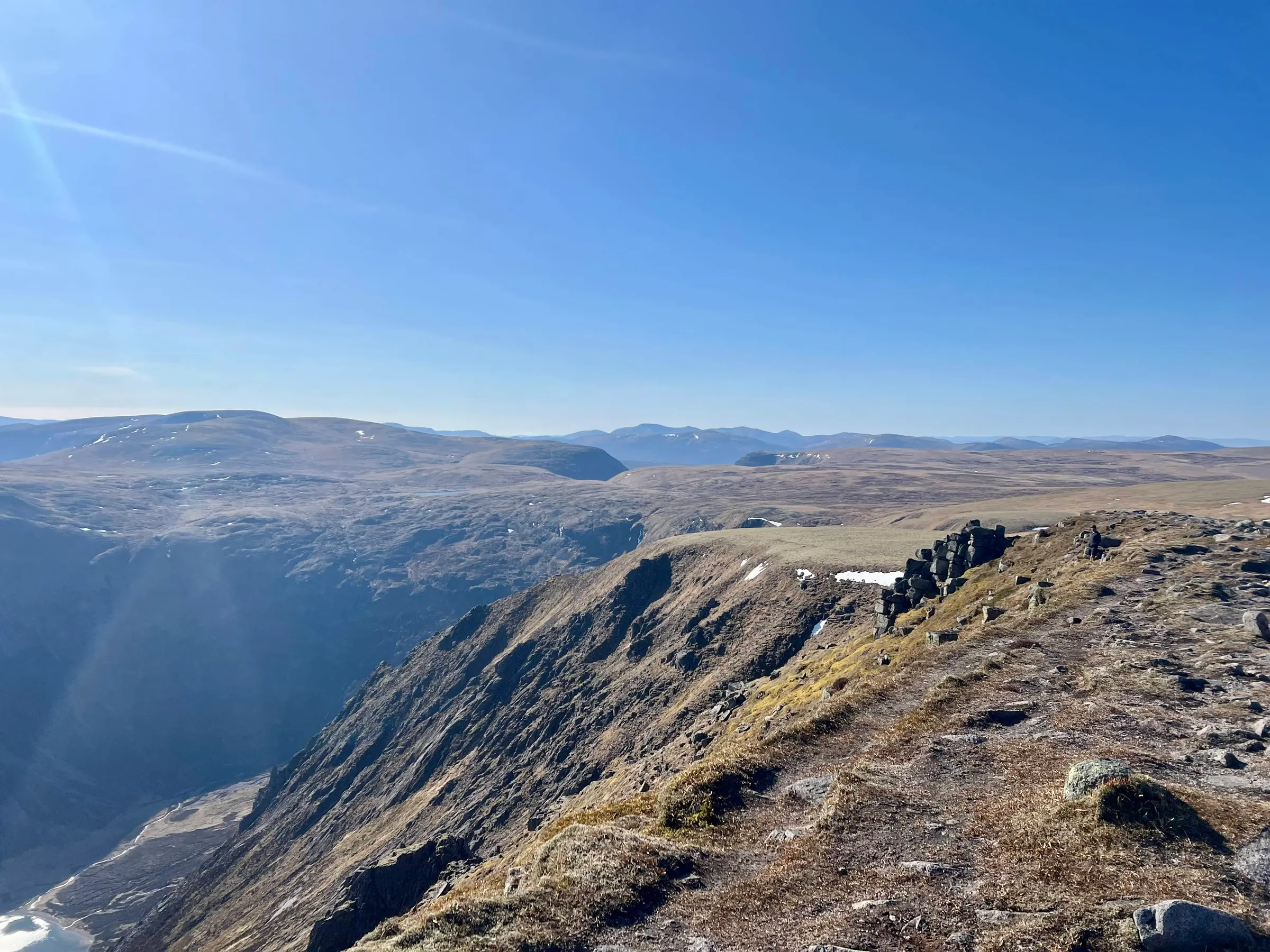
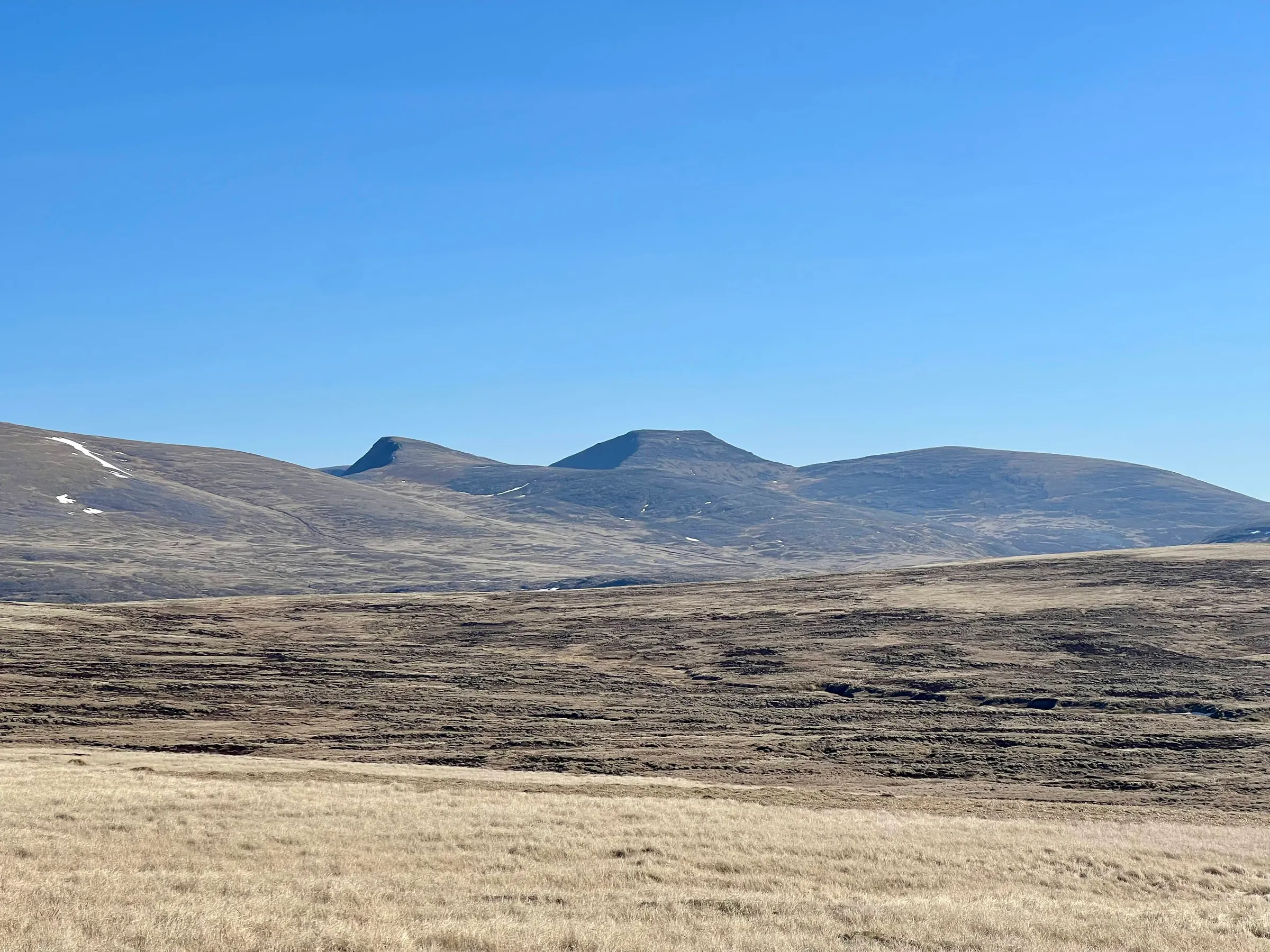
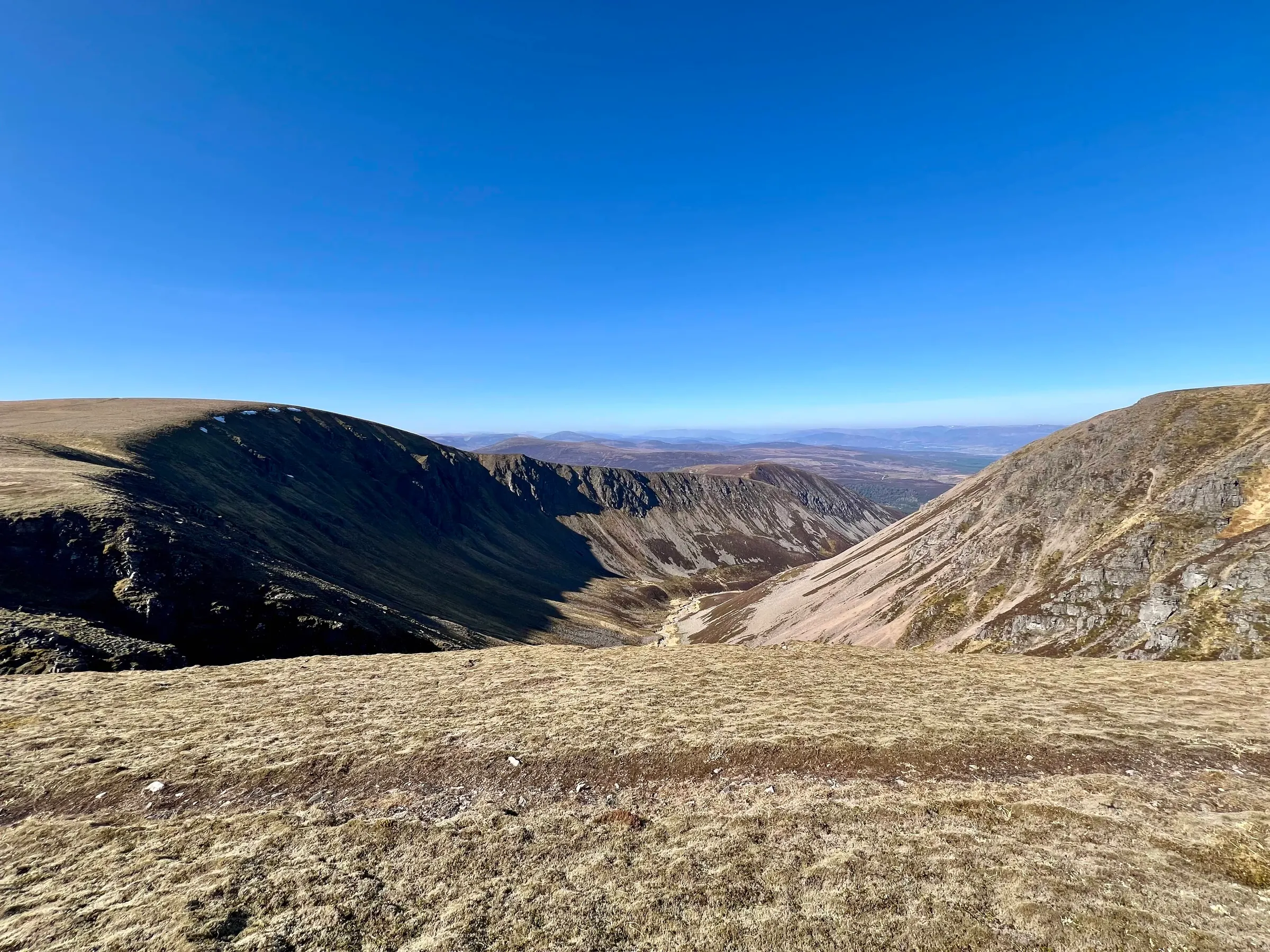

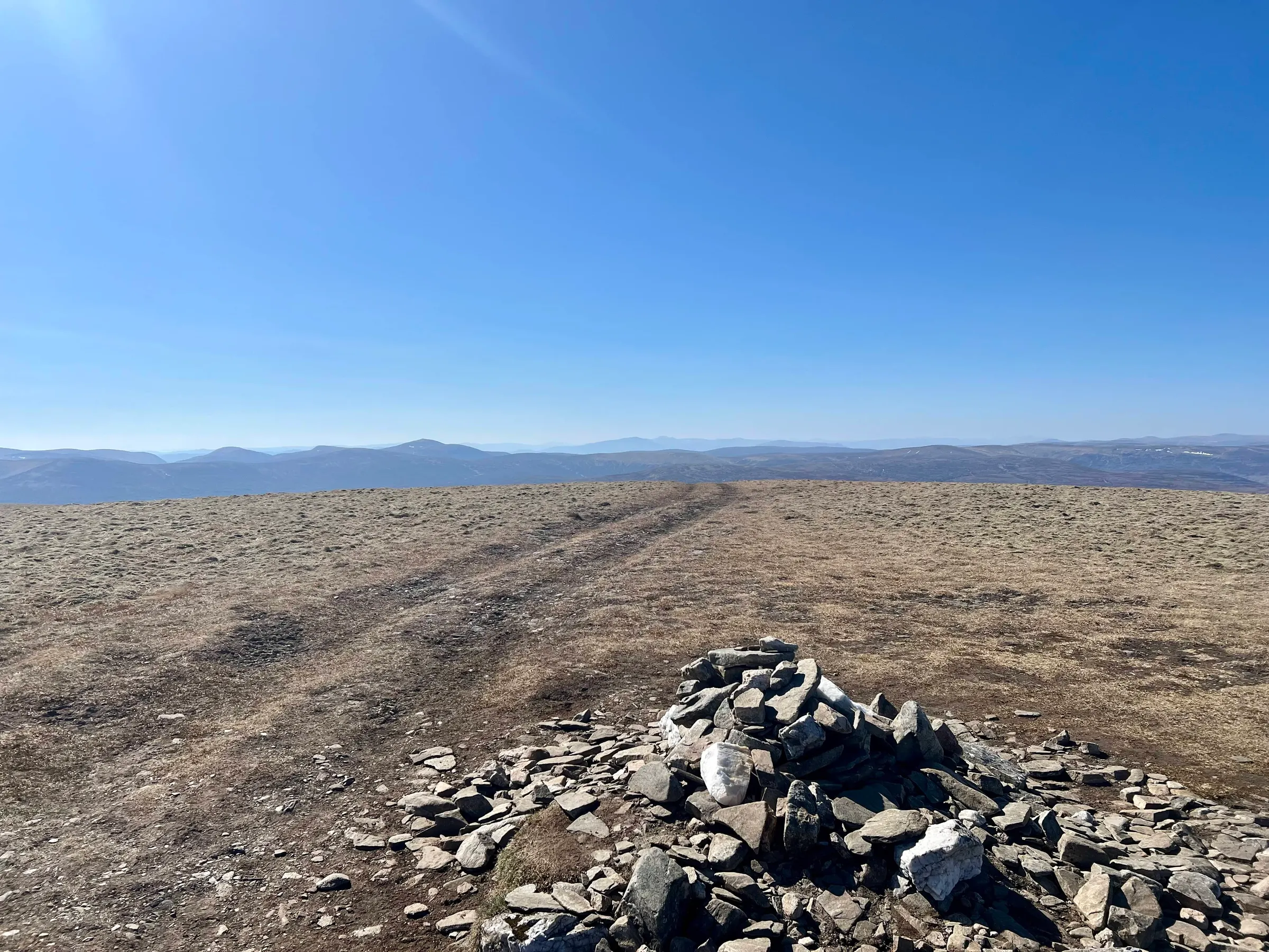
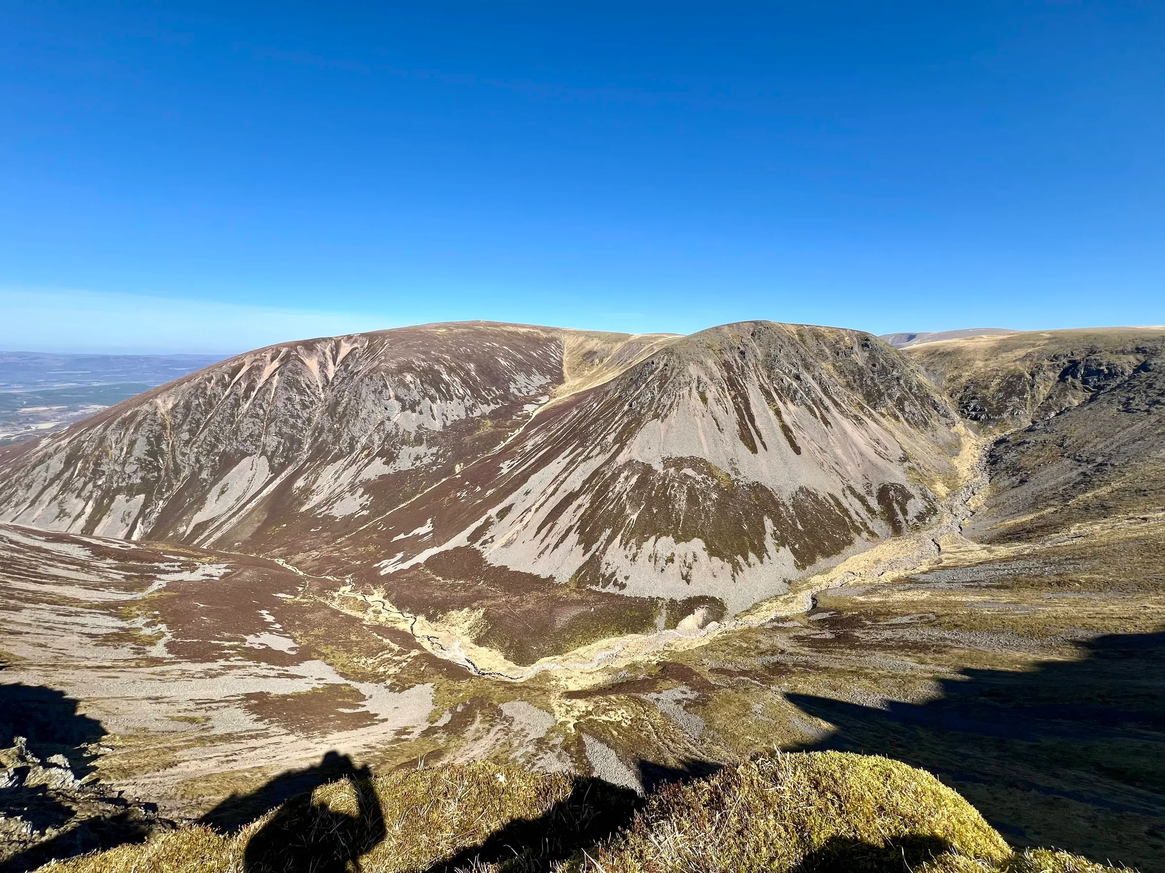
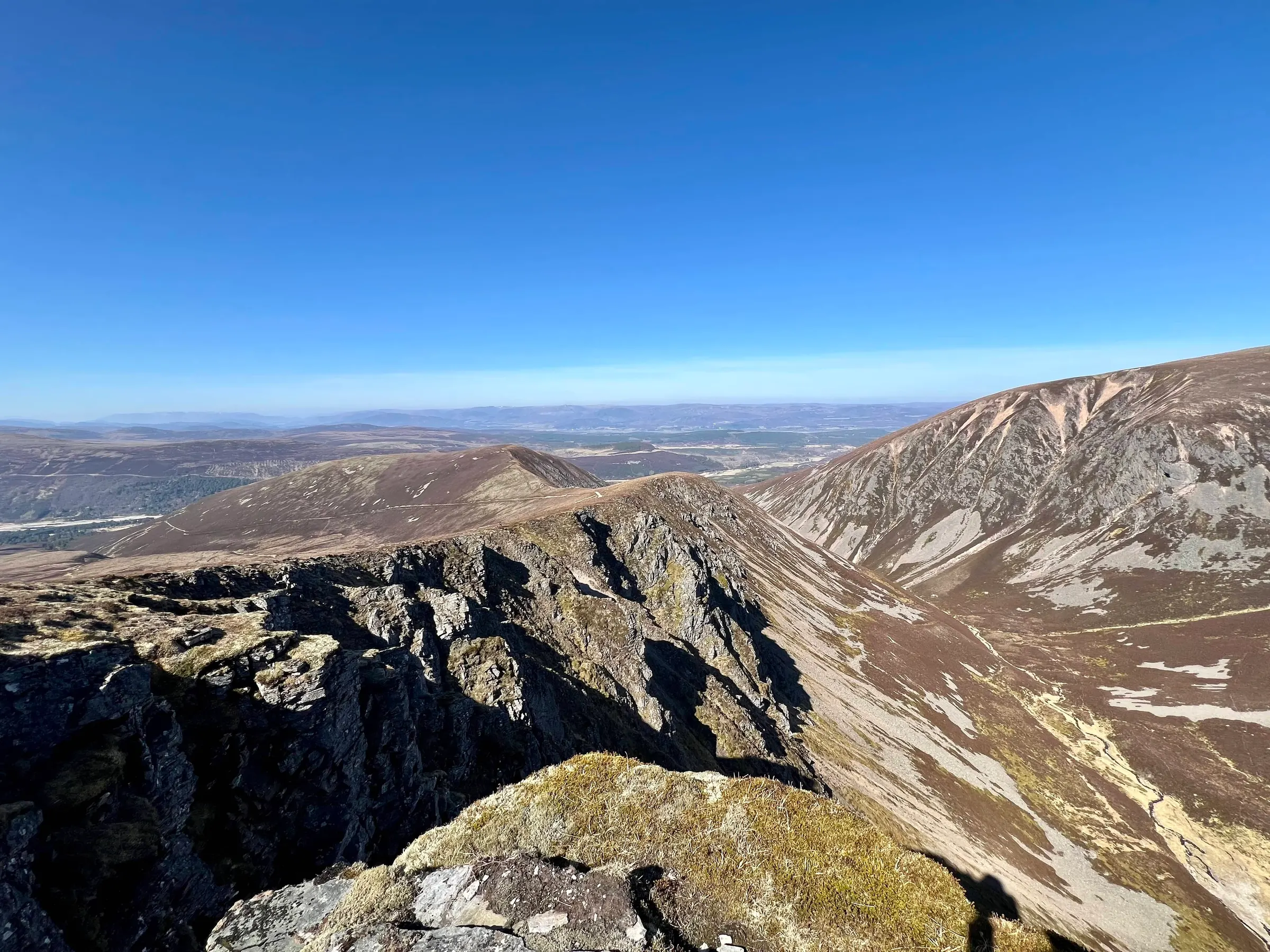
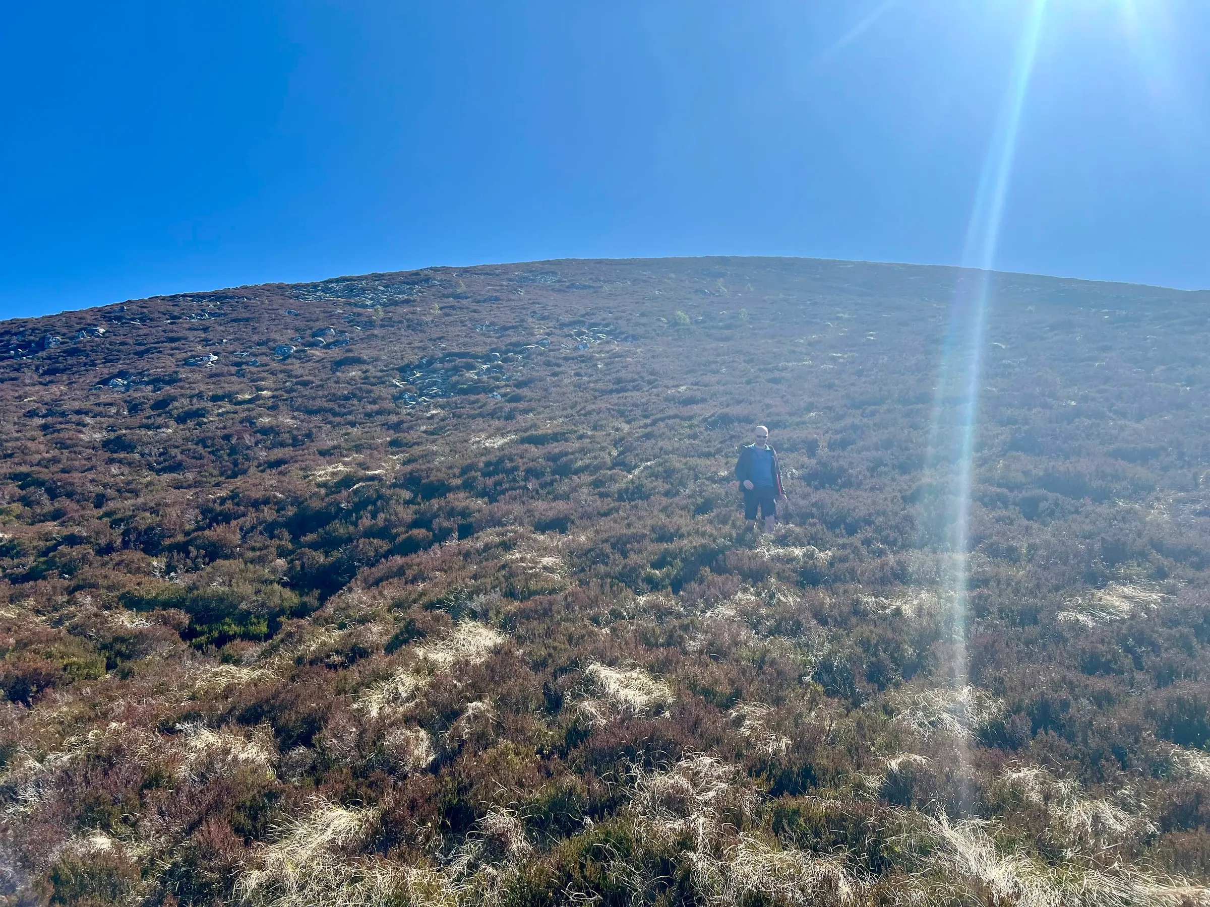
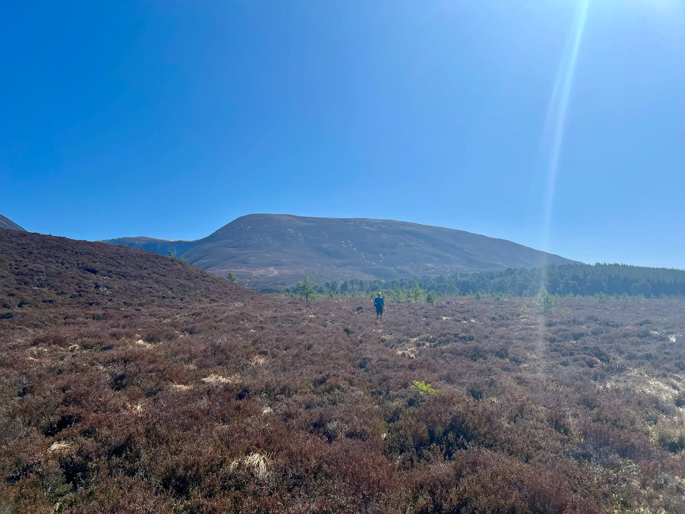
We were back at the holiday house by 2:30pm and then off to Boat of Garten bike pump track with the kids...who had all been winding up the mums during the day. So probably good we didn't do the all day route!
I have to say Mullach Clach a' Bhlàir is the most boring munro I've been to so far, but I can tick it off and never visit again! It is a HEMA summit and I did think of trying to activate it, but I wasn't that interested and didn't really have time.
On air
Route
Contacts
- 40m 7
- 20m 1
- 15m 3
- 2m 5
Log
| UTC | Call | Band | Mode | Sent | Rcvd | km | Ref |
|---|---|---|---|---|---|---|---|
| 08:43 | G0FEX | 40m | SSB | 55 | 55 | 519 | |
| 08:43 | 2M0RVZ | 40m | SSB | 59 | 59 | 93 | |
| 08:44 | SQ9CWO | 40m | SSB | 41 | 44 | 1,595 | |
| 08:45 | GI4TAJ | 40m | SSB | 57 | 55 | 291 | |
| 08:46 | MW0CBC | 40m | SSB | 59 | 57 | 599 | |
| 08:46 | EA2CKX | 40m | SSB | 53 | 53 | 1,565 | |
| 08:47 | DG1NPM | 40m | SSB | 55 | 56 | 996 | |
| 08:50 | UR5CDD | 15m | SSB | 59 | 57 | ||
| 08:51 | EA7GV | 15m | SSB | 59 | 52 | 2,220 | |
| 08:51 | F4WBN | 15m | SSB | 59 | 55 | 1,521 | |
| 08:57 | OE5HDN | 20m | SSB | 41 | 21 | 1,556 | |
| 09:06 | GM4OAS | 2m | FM | 57 | 53 | 120 | |
| 09:08 | GM5JET | 2m | FM | 57 | 54 | 55 | |
| 09:09 | MM6OEC | 2m | FM | 59 | 53 | 199 | |
| 09:14 | MM0VPM/P | 2m | FM | 59 | 59 | 184 | GM/SI-008 |
| 09:35 | MM0EFI/P | 2m | FM | 41 | 21 | 80 | GM/ES-077 |