Glen Ey Five
GM/CS-036GM/CS-014GM/CS-020GM/CS-011GM/CS-038 GB-0835GB-0939GB-6679
- Summits
- 5
- Parks
- 3
- Distance
- 42.9 km
- Ascent
- 1,824 m
- Time
- 11h 04m
- QSOs
- 42
- Bands
- 40m20m2m
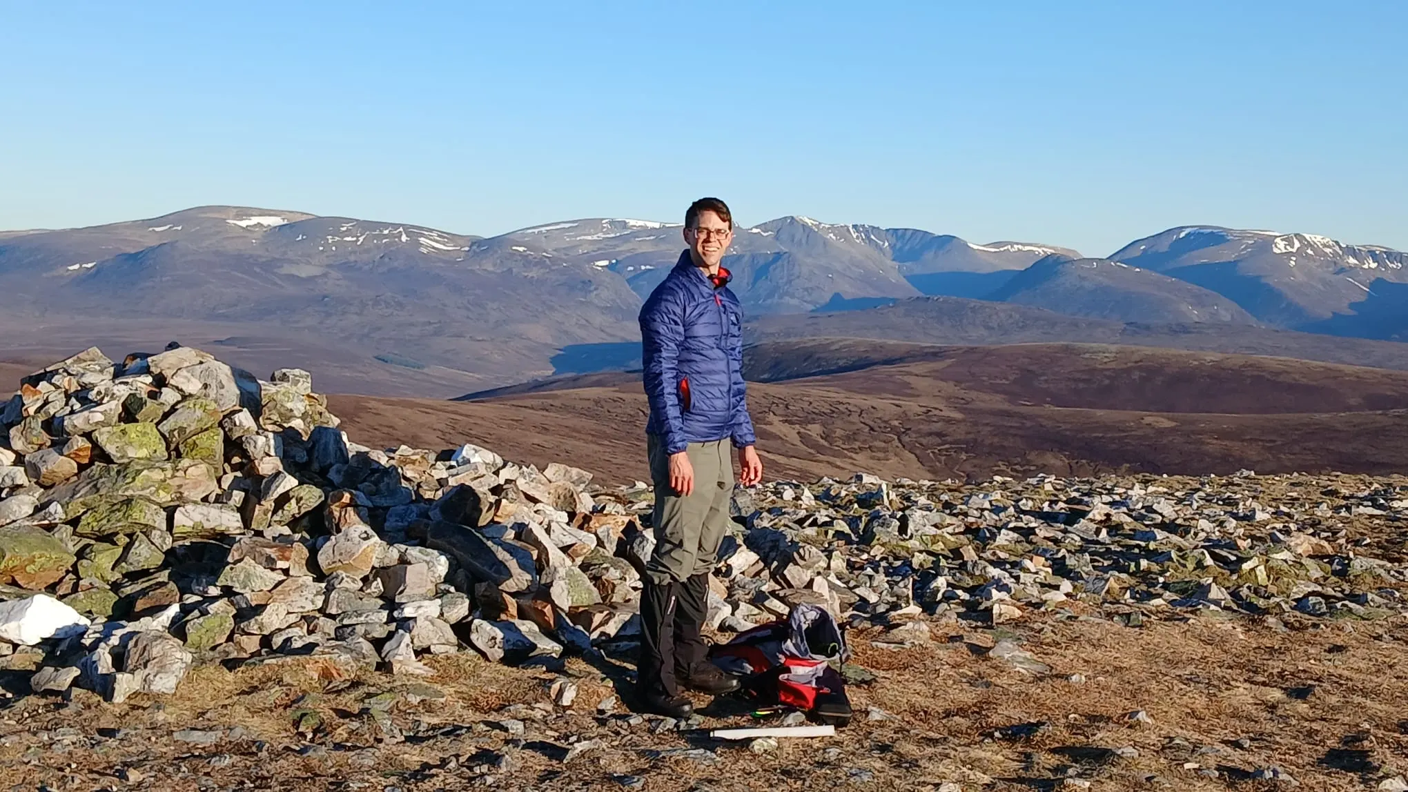
Carn Bhac
I wrote a funny piece on the reflector about this trip. You should read that too.
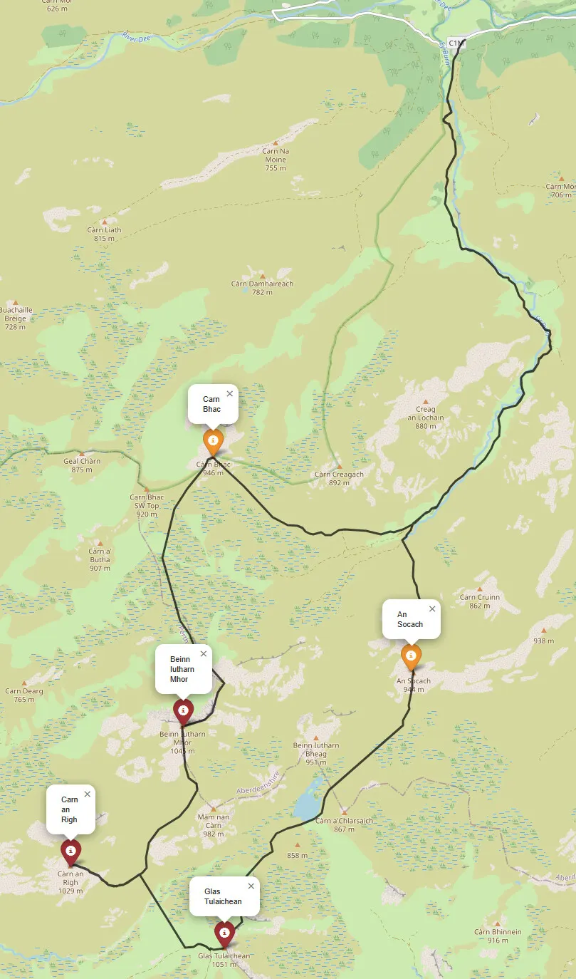
The weather ended up being spectacular for all of the school holidays, and I didn't want to miss out on using it - both the weather and the holidays, so I took the Wednesday off and asked Fraser if he wanted to go out. I wasn't quite sure where I wanted to go, I've got Cairn Toul and Braeriach still to do, and that's a big day out, but I also wanted to maximise points and ended up picking an even bigger day out! The Glen Ey 5 munros.
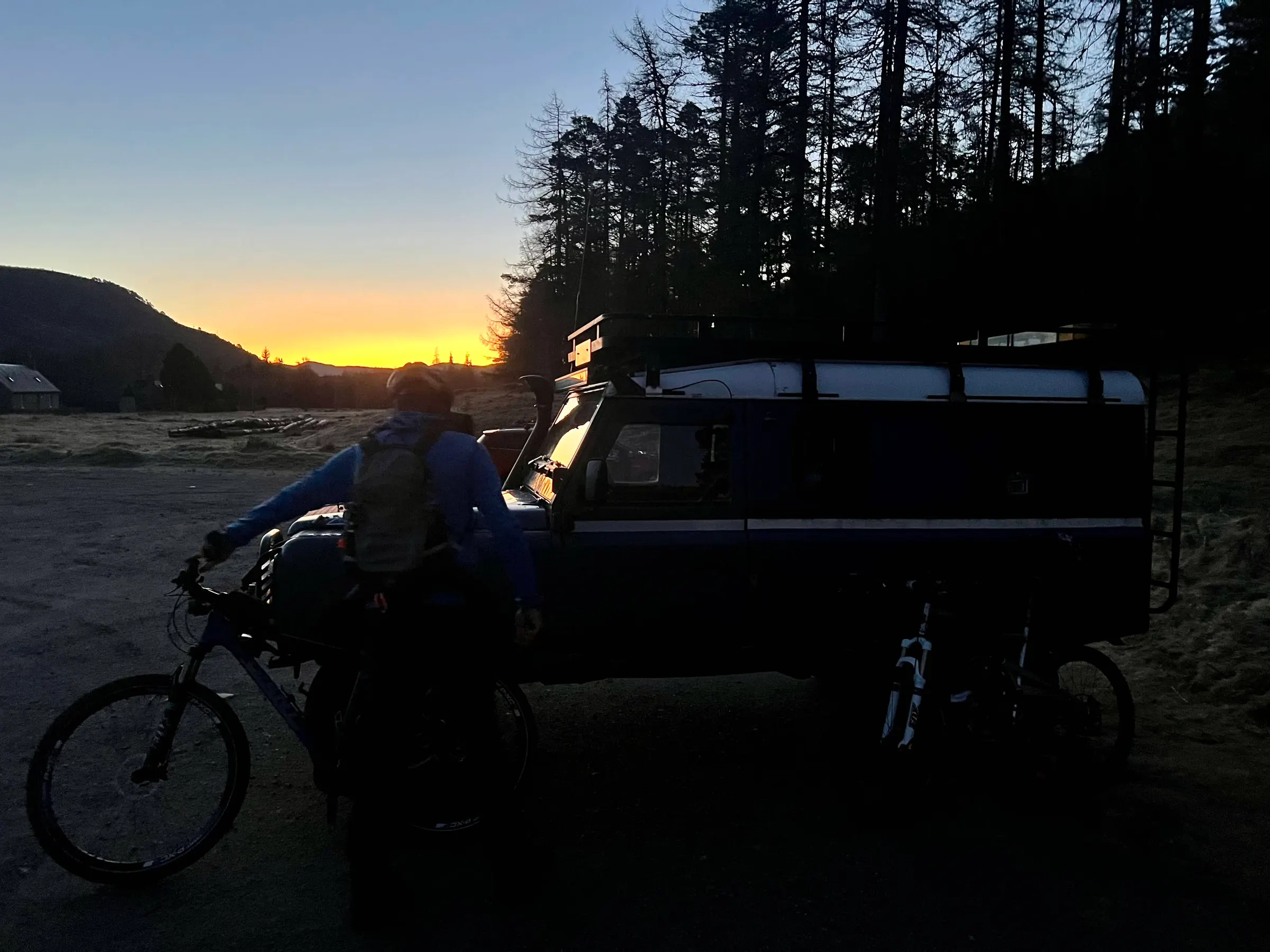
I left home about 4:30am to meet Fraser on the way, and travel with him to the start at Inverey. First part of the route was a 9km cycle ride, and then climb up to the first summit. Probably this and the next four summit reports will be mostly pictures and minimal text!
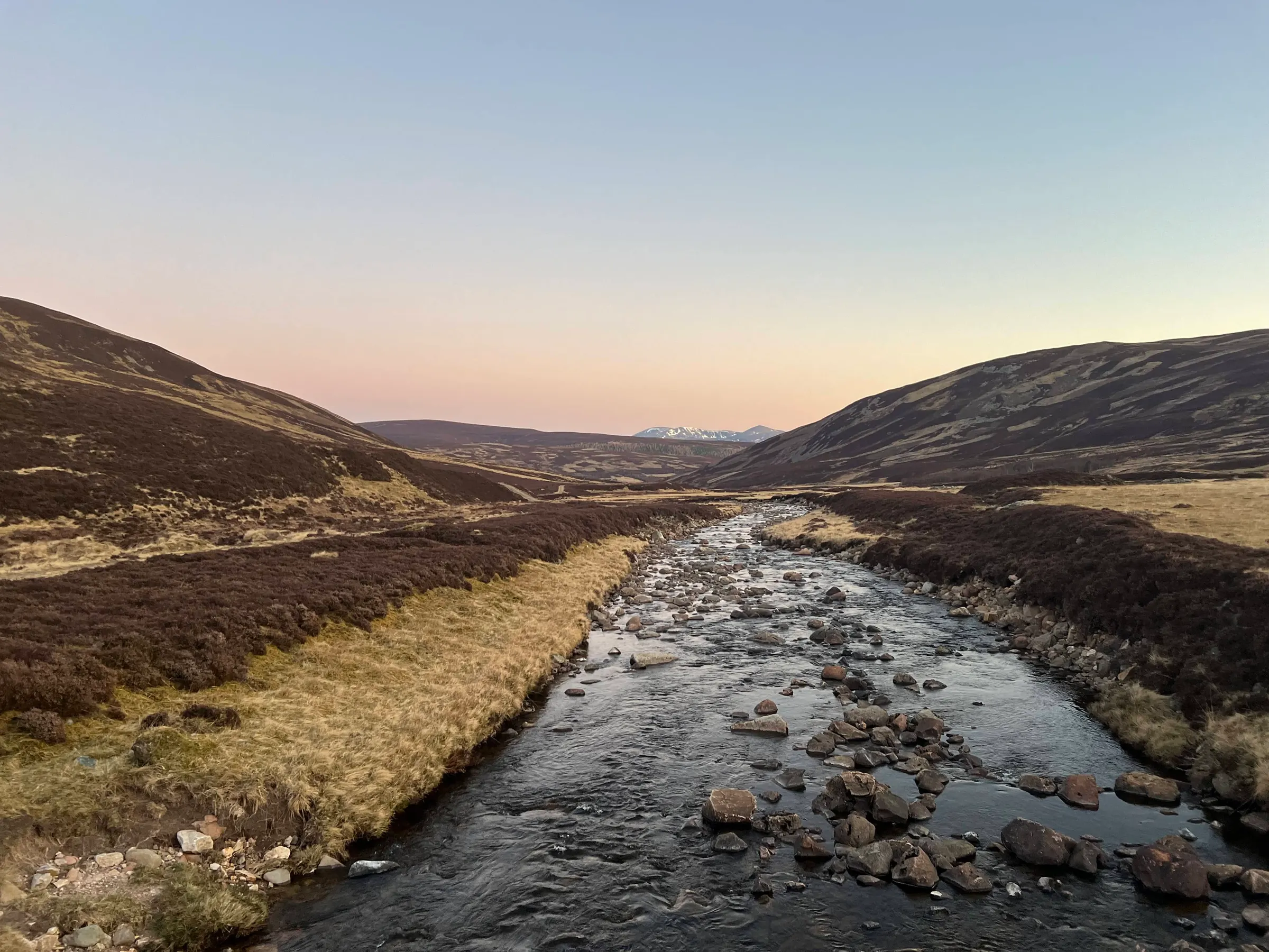
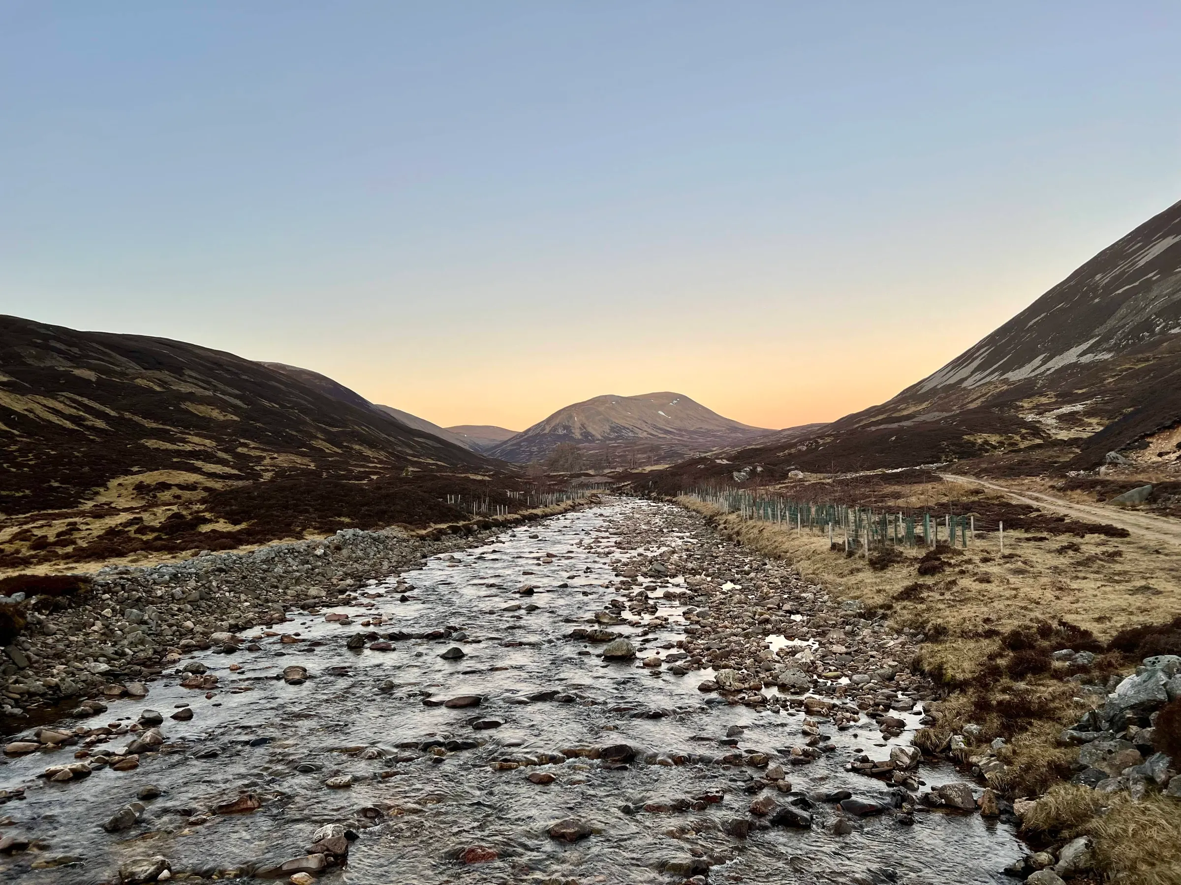
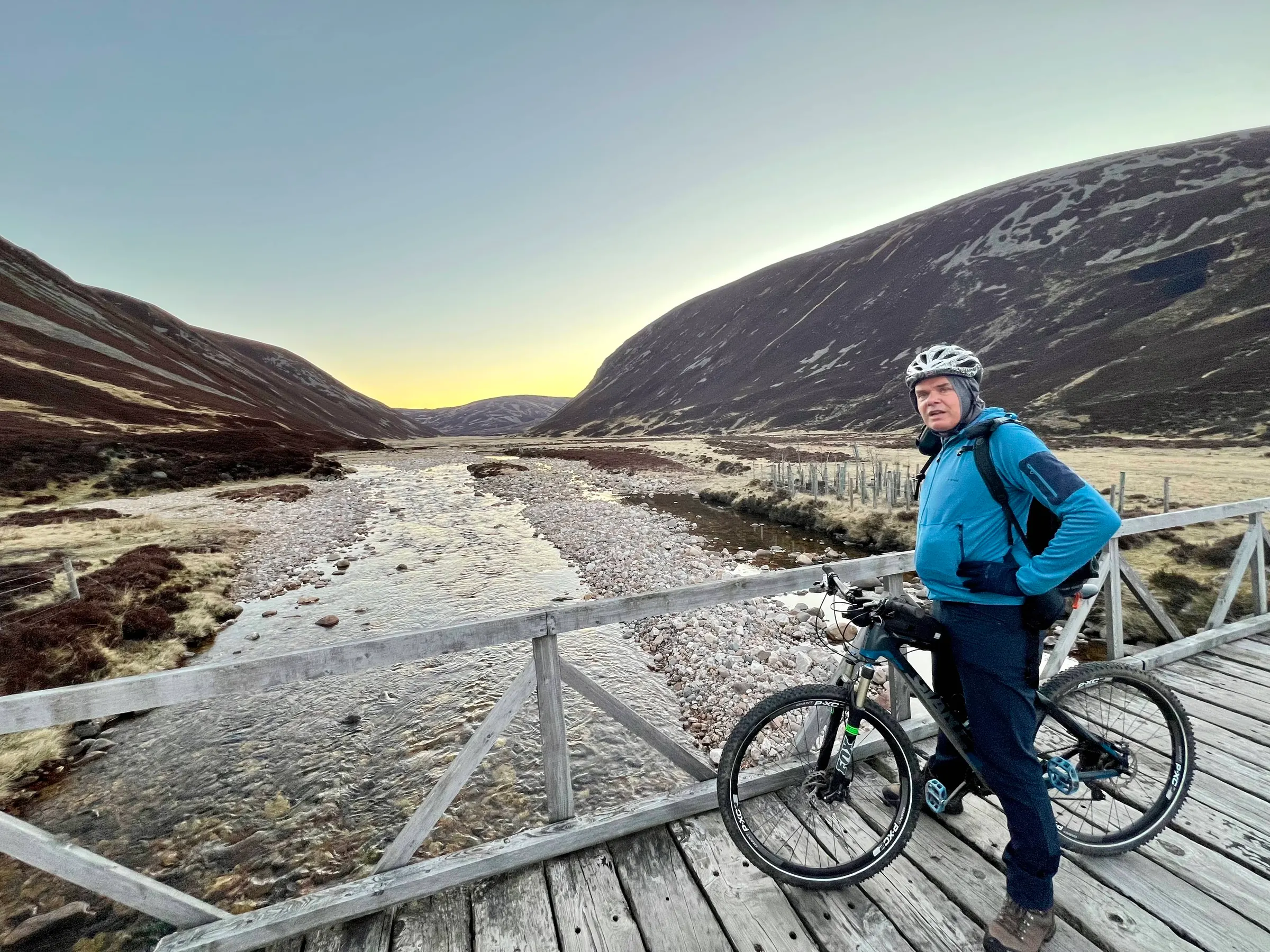
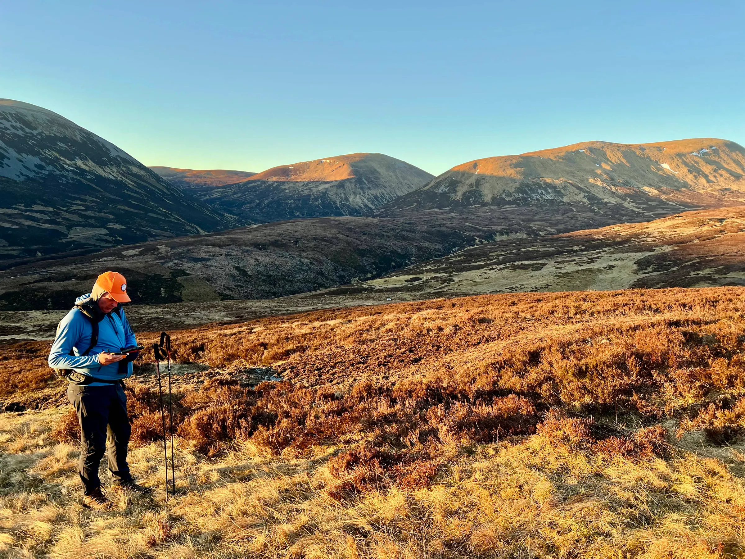
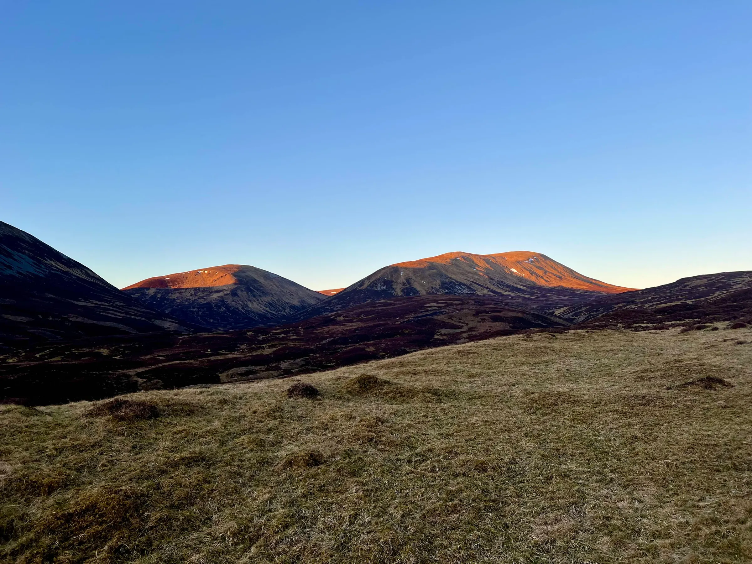
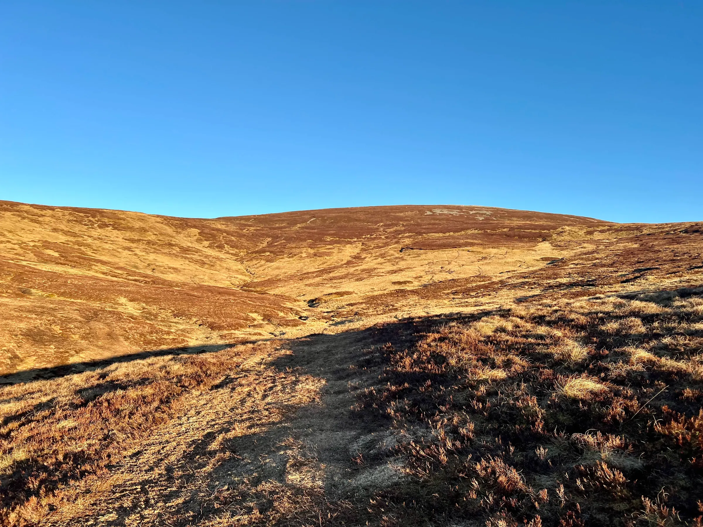
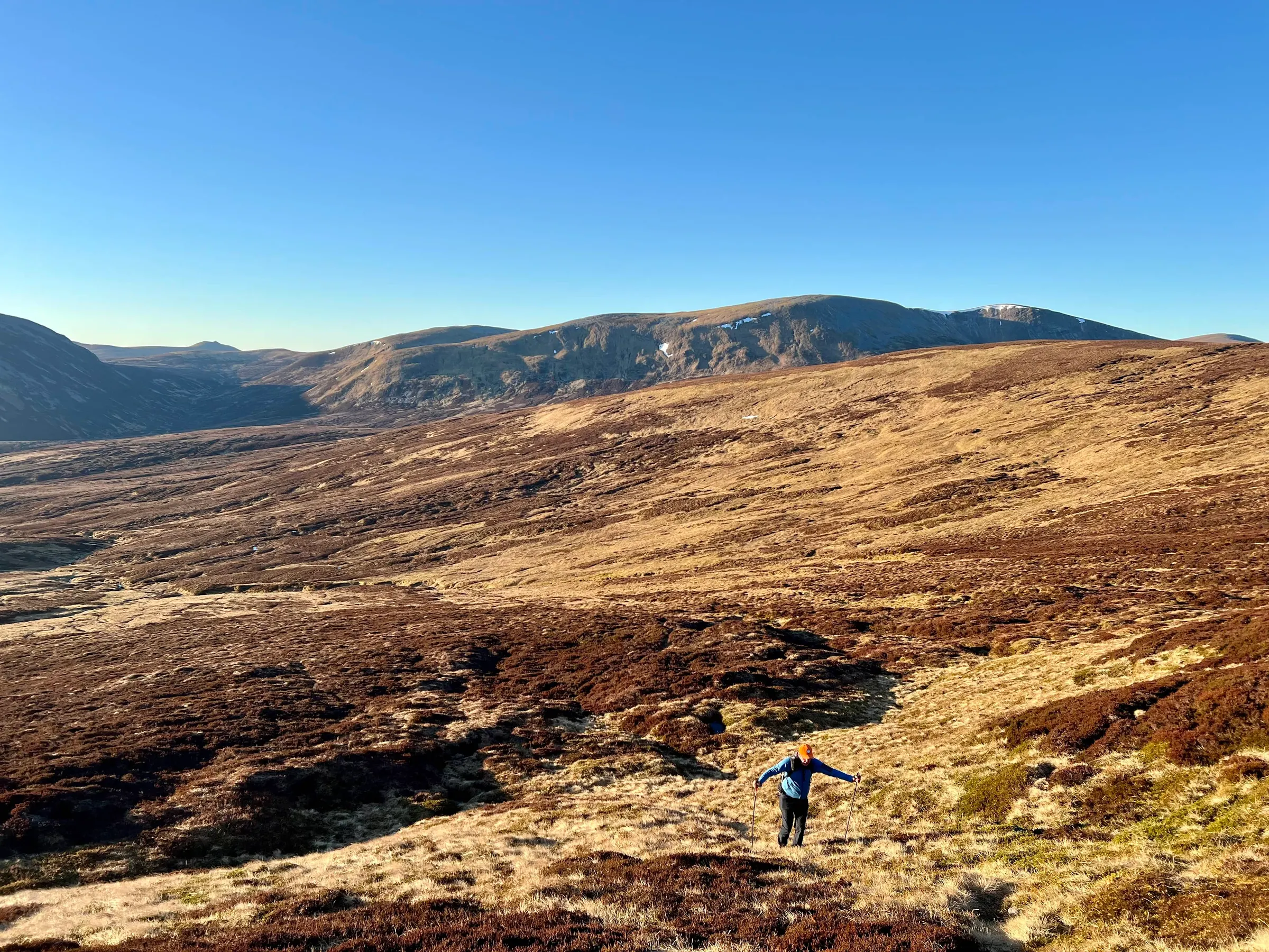
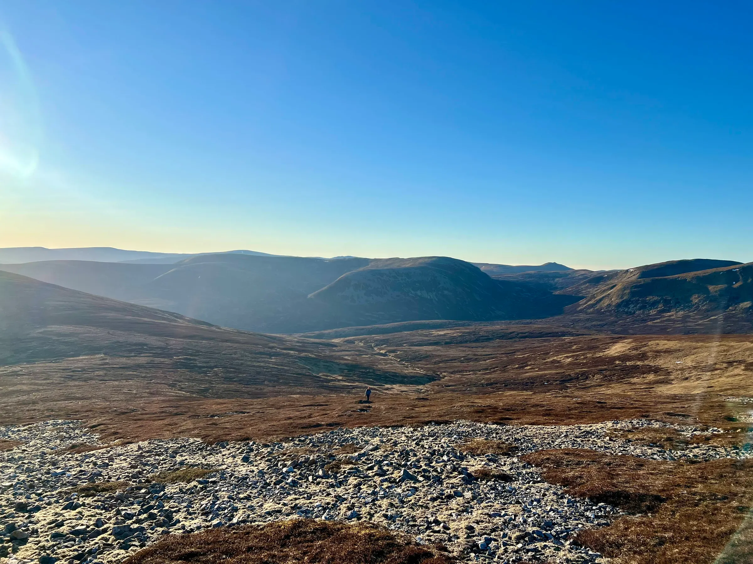
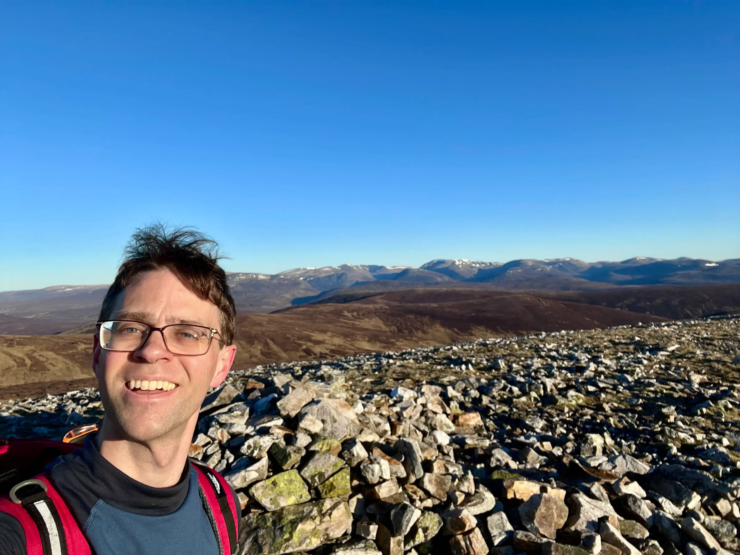
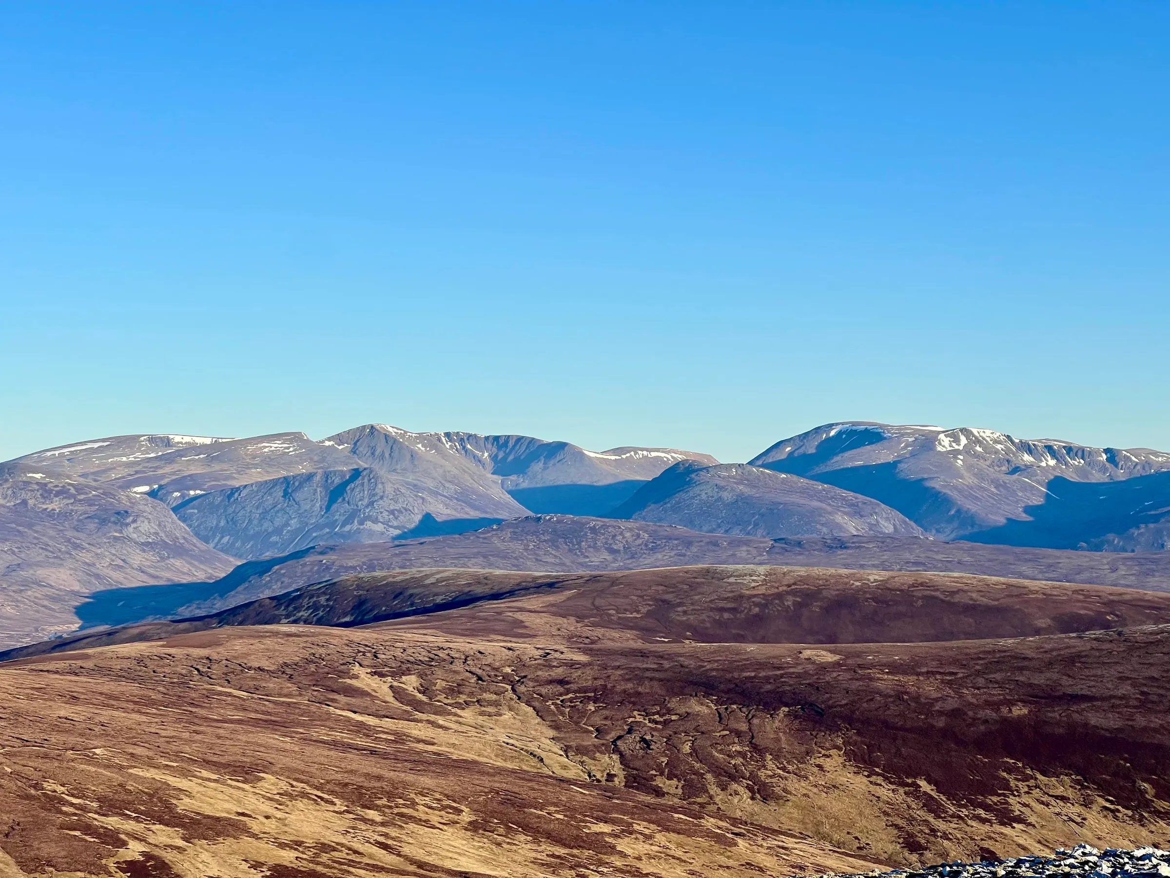
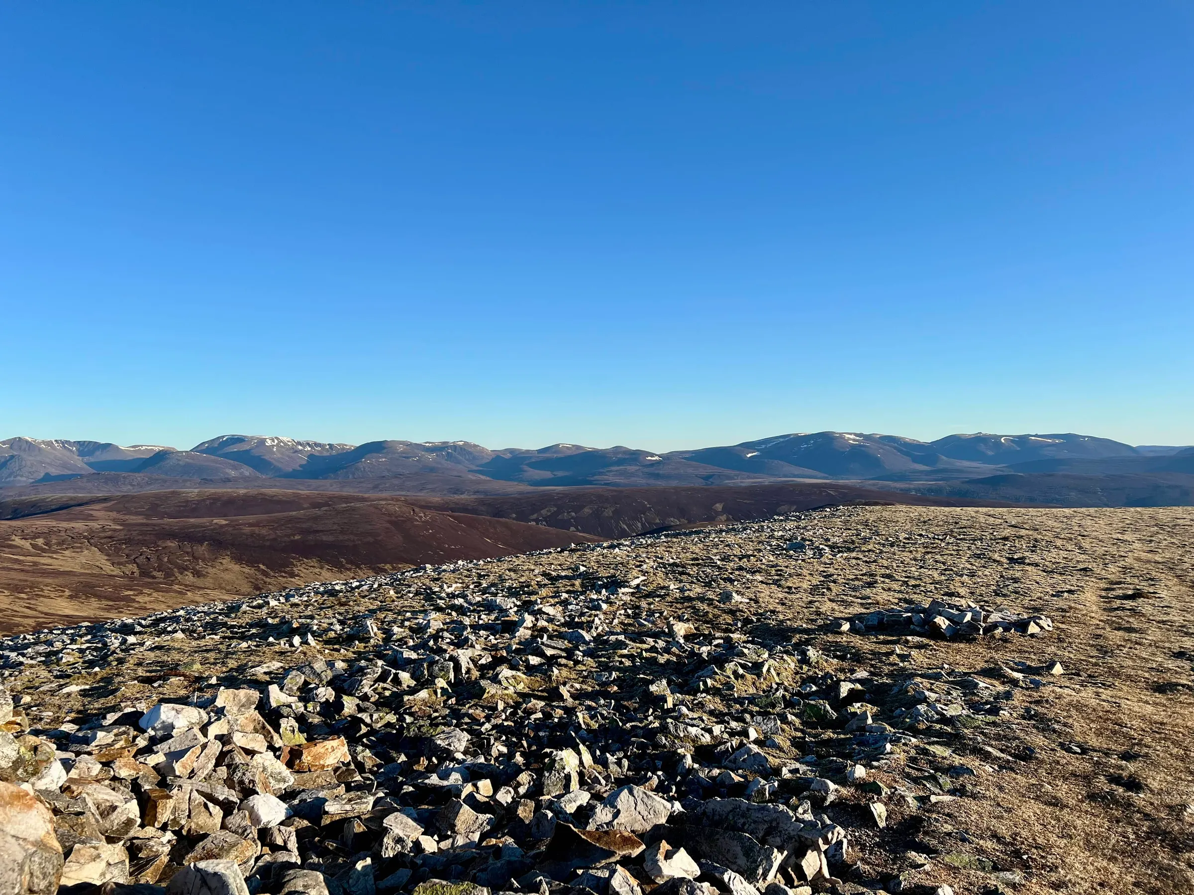
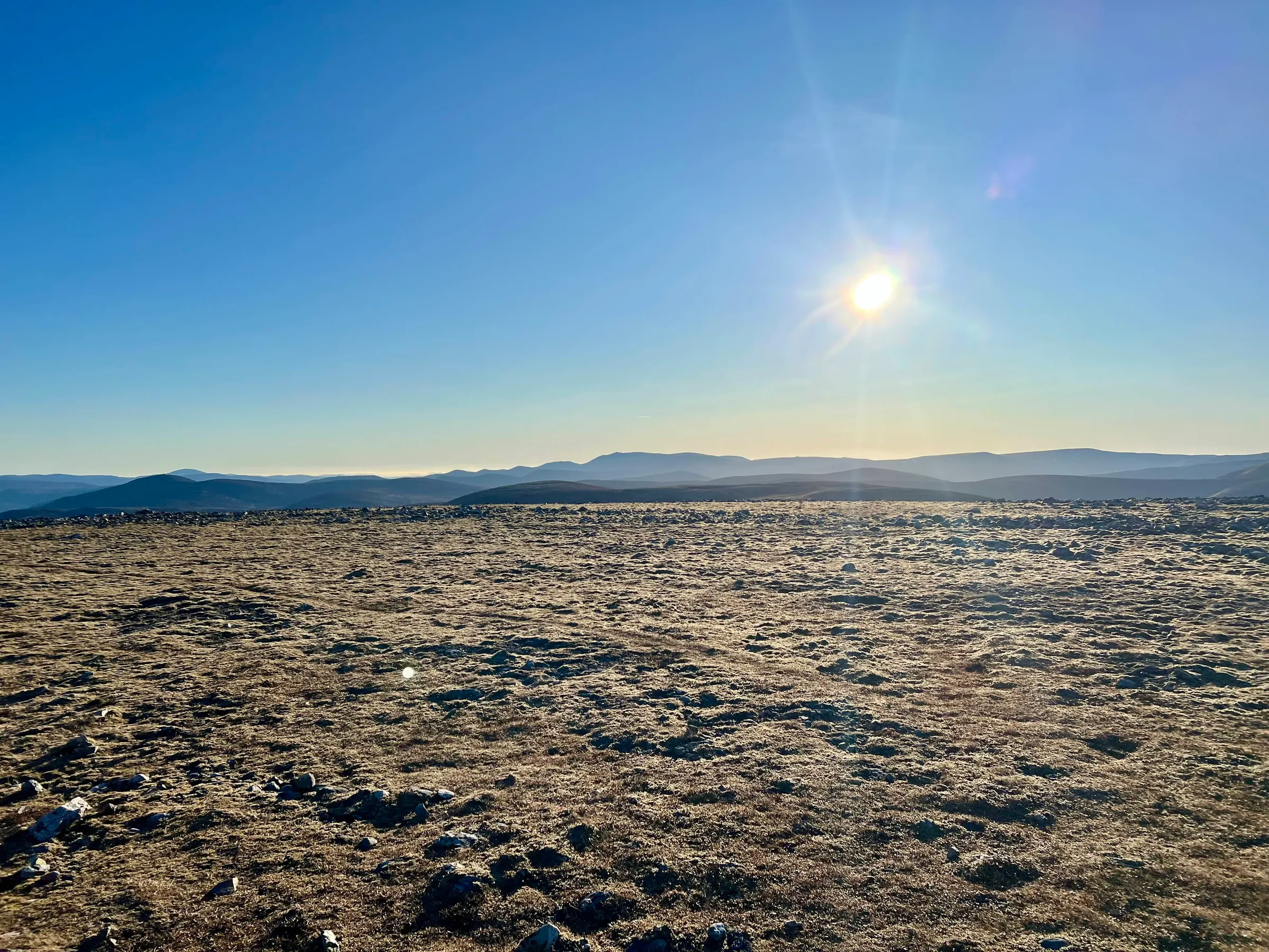
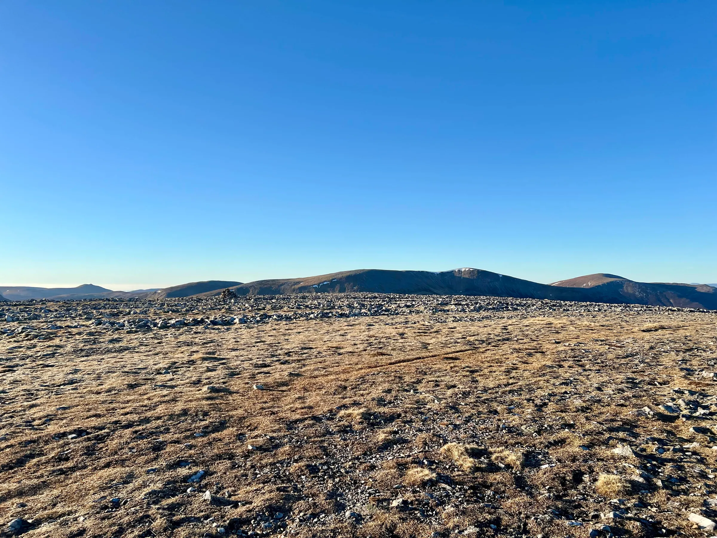
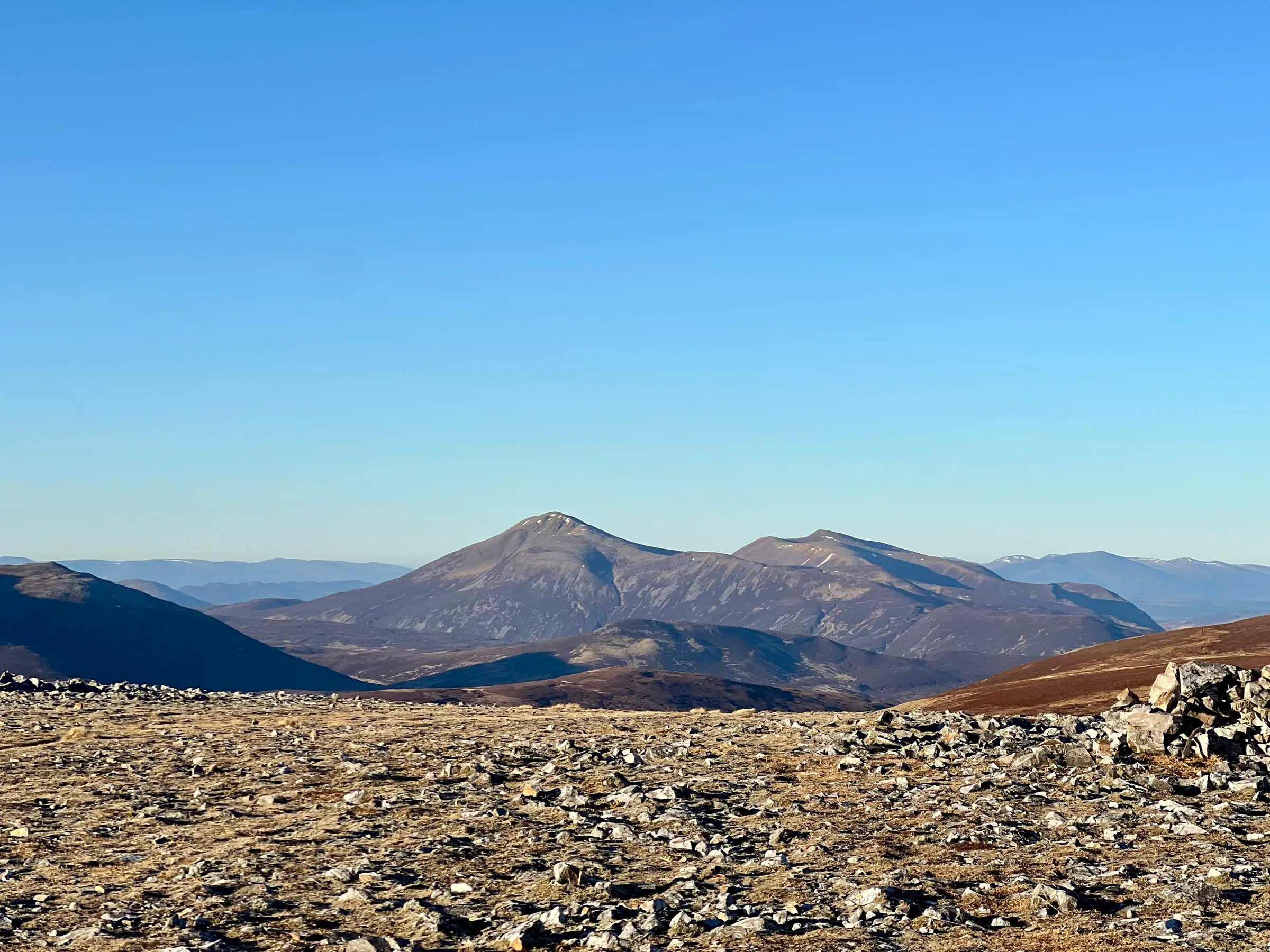
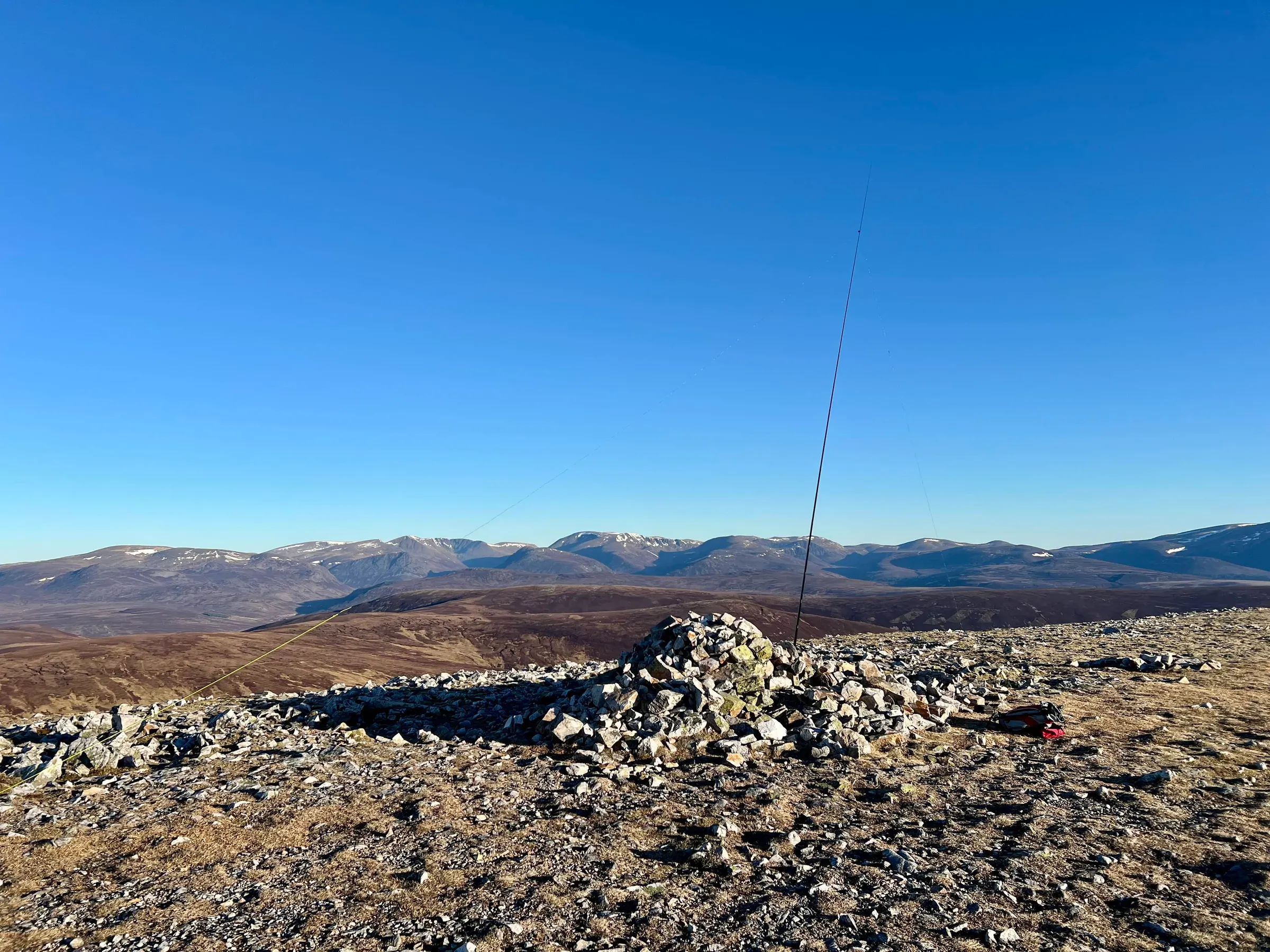
On to the next summit - Beinn Iutharn Mhor!
Beinn Iutharn Mhor
After a few contacts on Carn Bhac, it was time to move on.
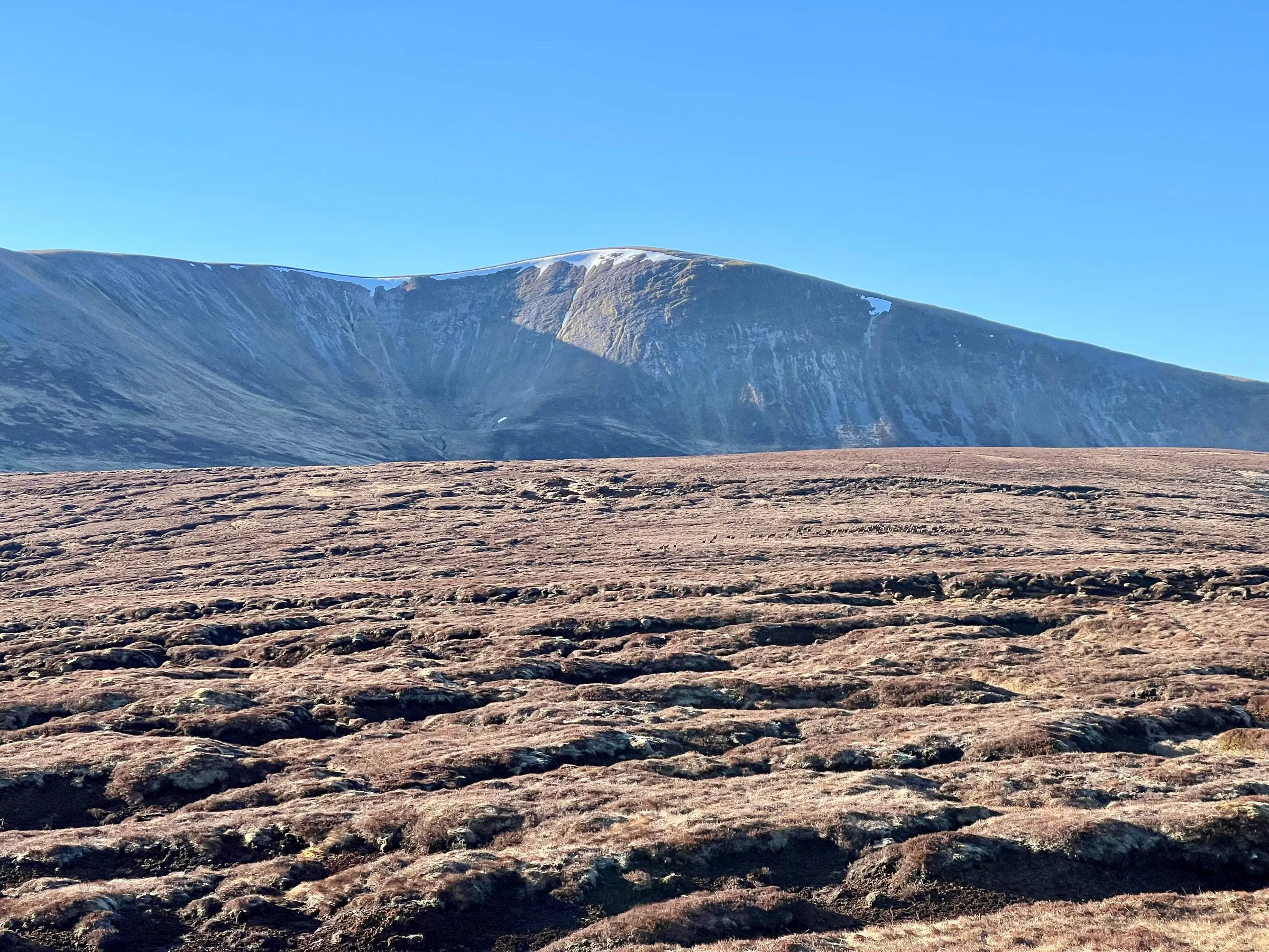
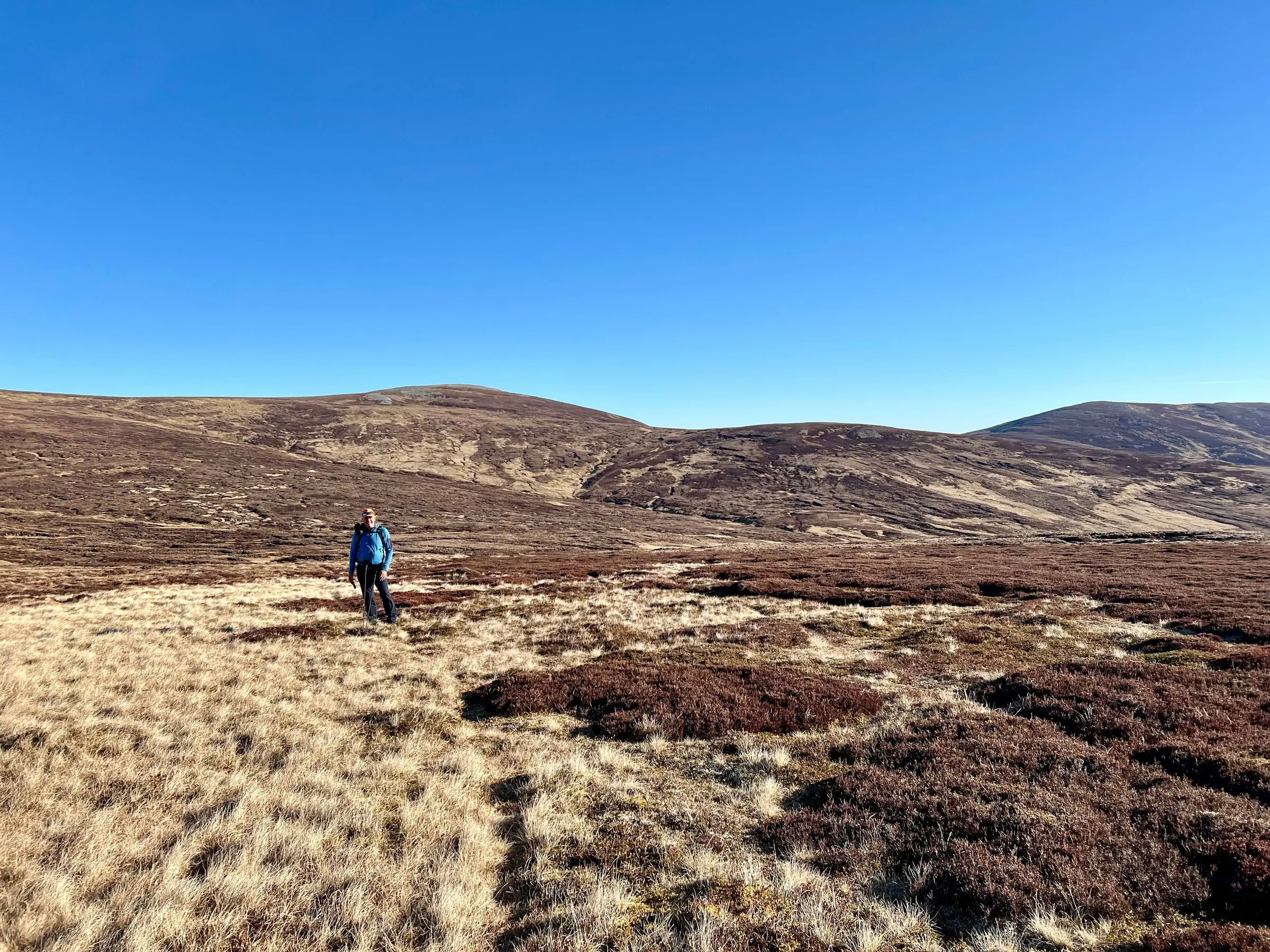
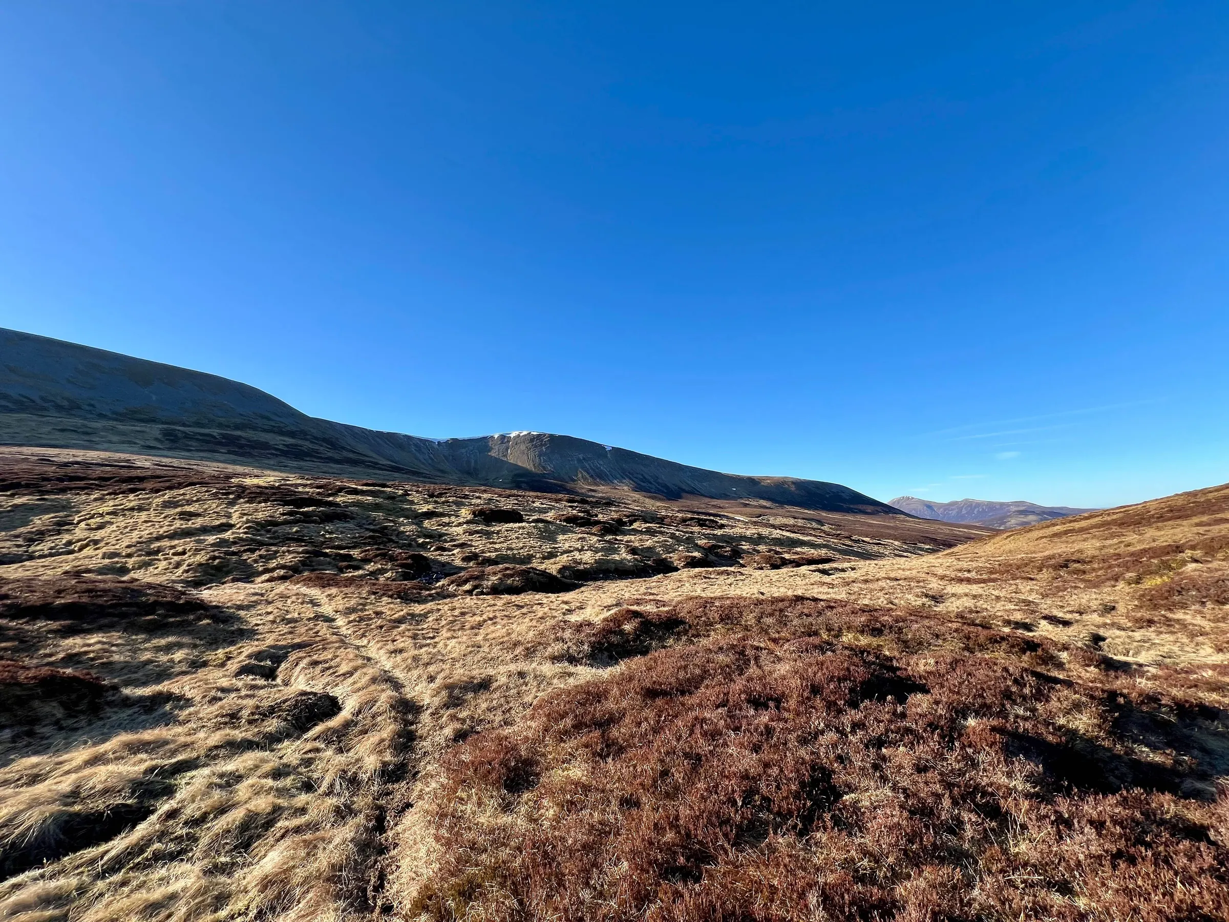
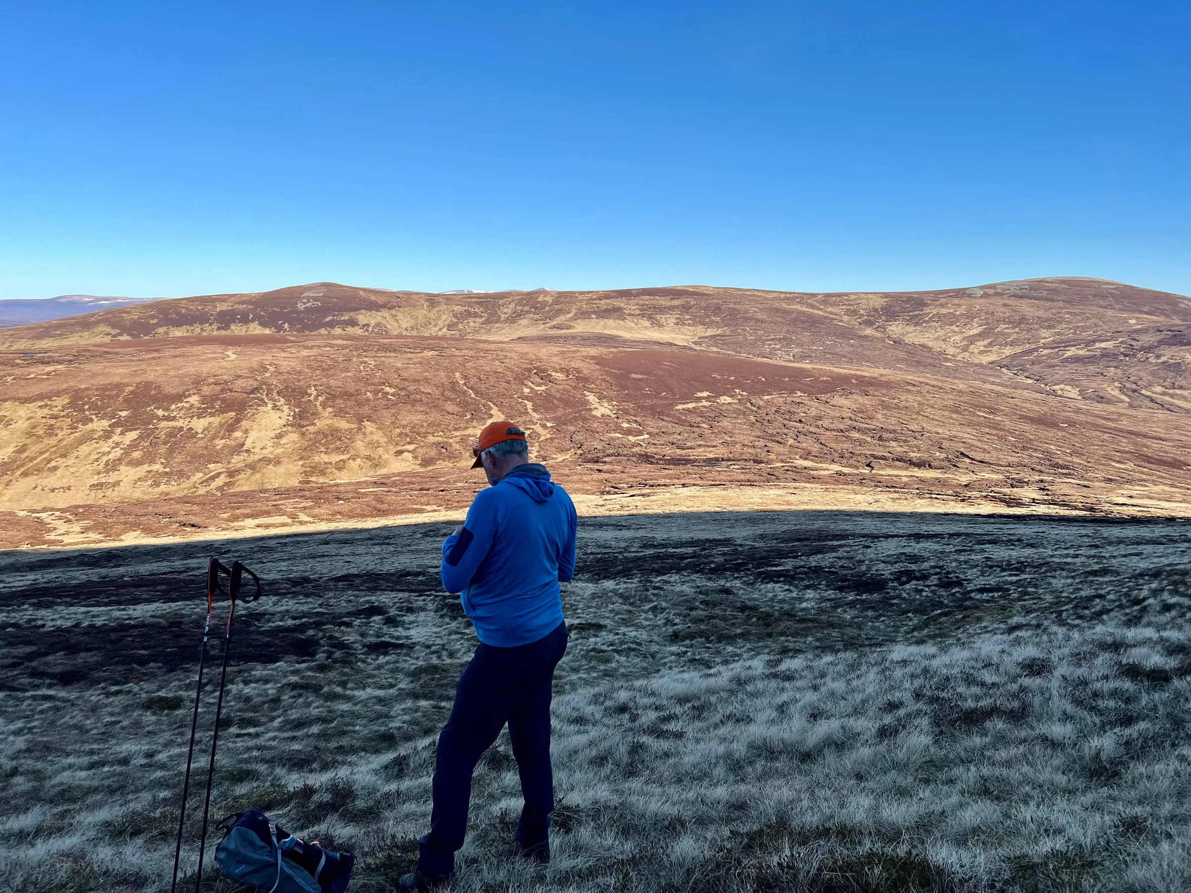
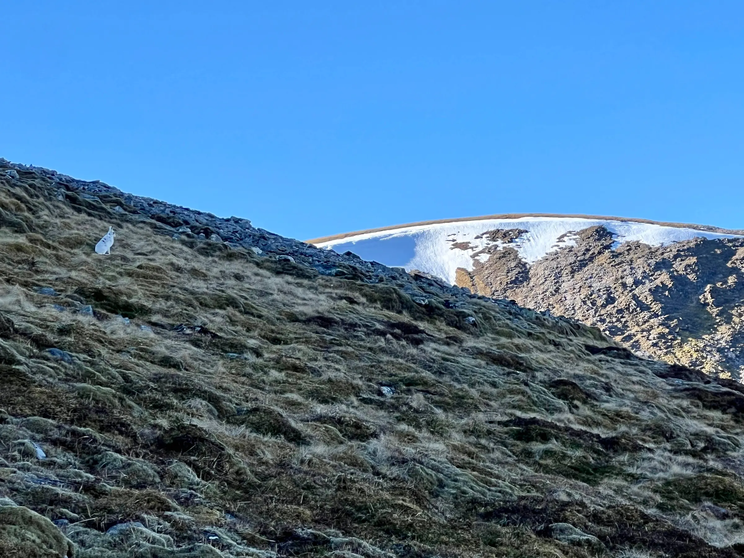
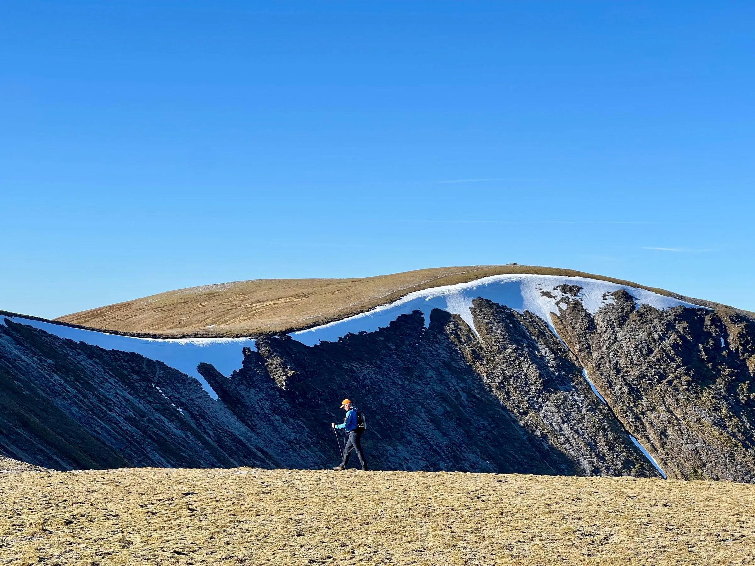
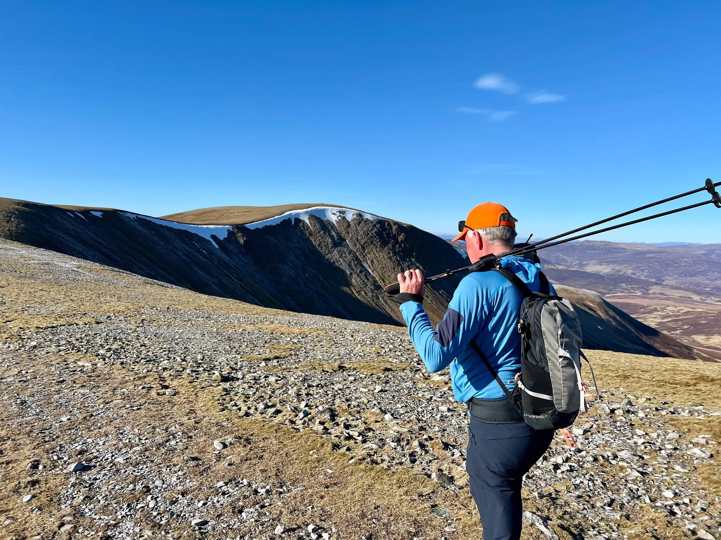
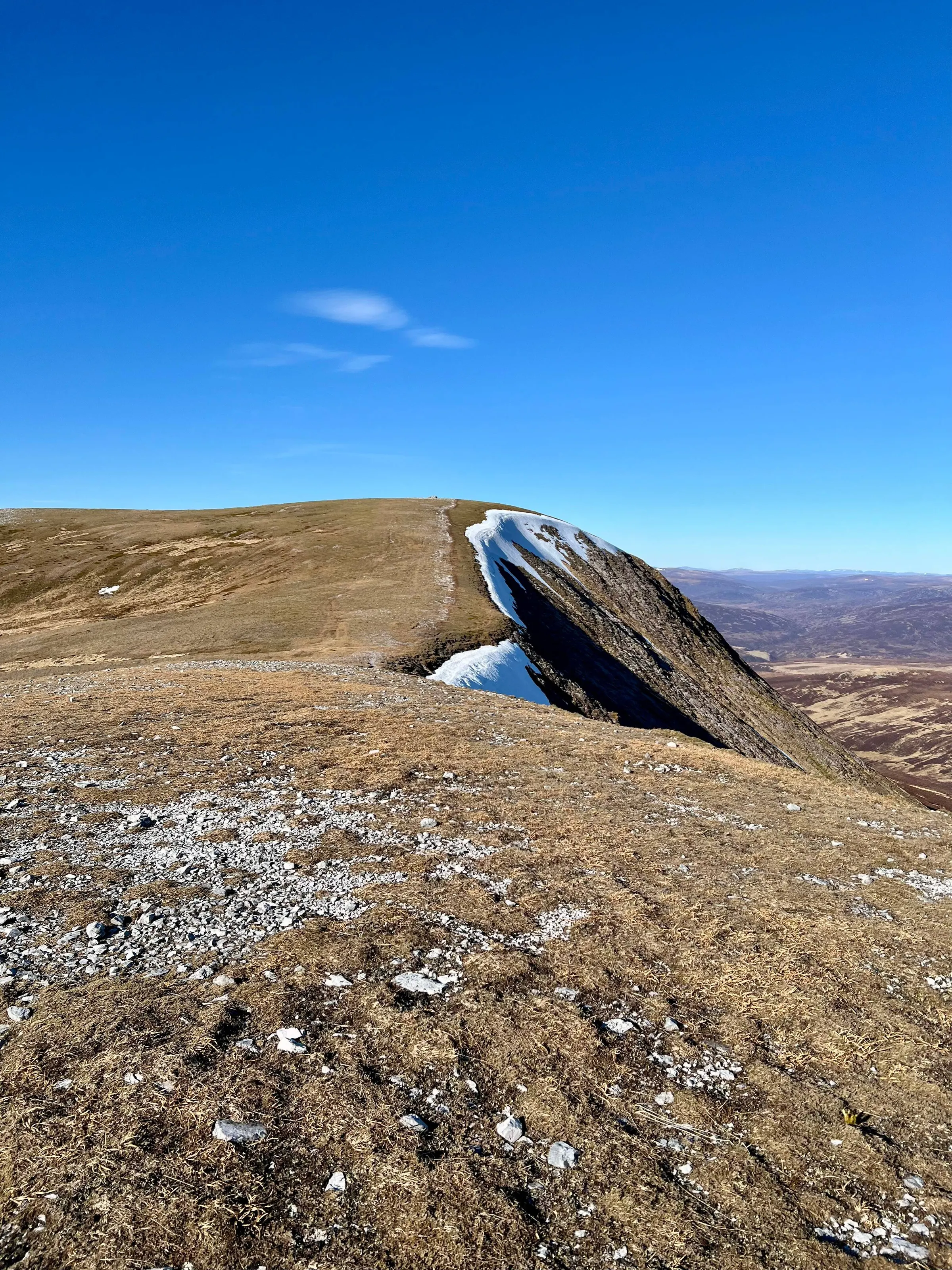
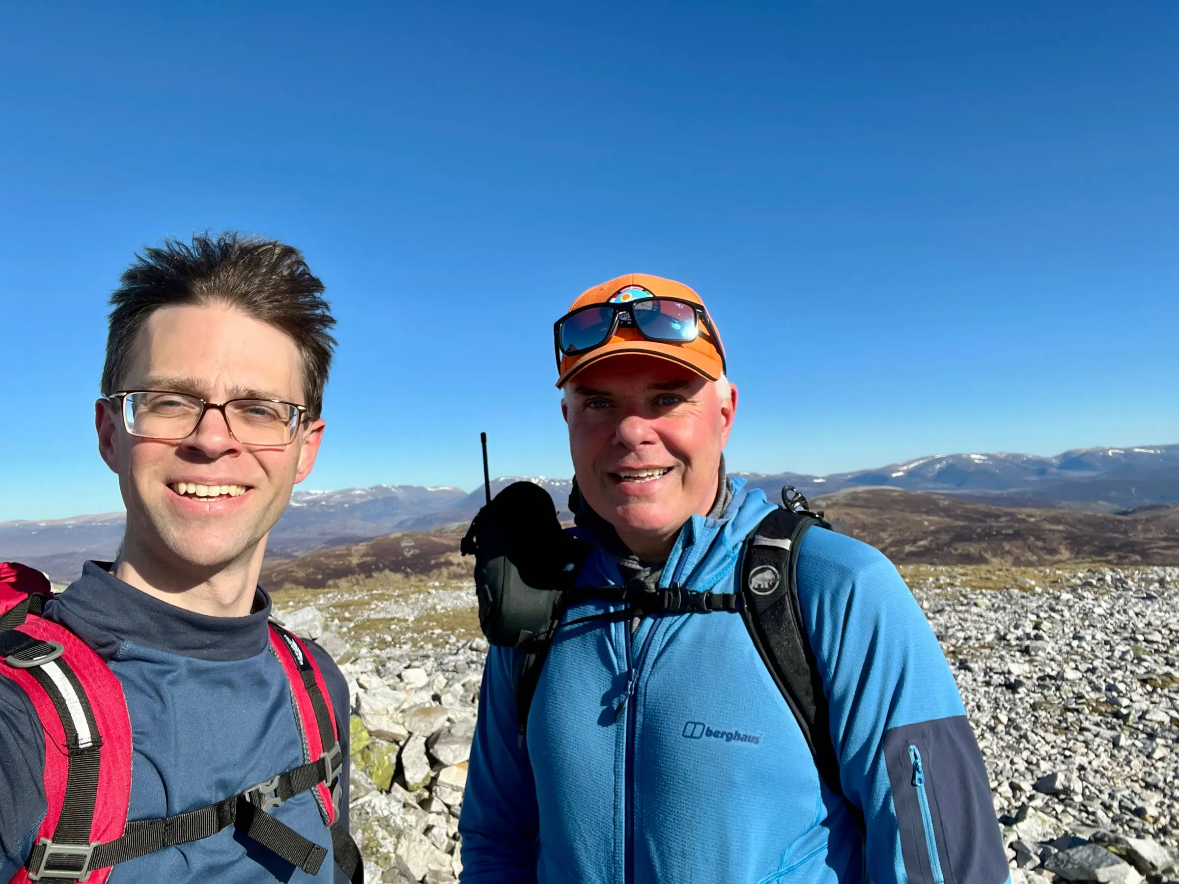
Another quick setup and 10 contacts before off to number three - Carn an Righ
Carn an Righ
A bit of a shorter walk between number 2 and 3, compared to 1 and 2. Once you reach the base of the hill you can also see number 4, Glas Tulaichean's steep sides that we'll have to tackle afterwards.
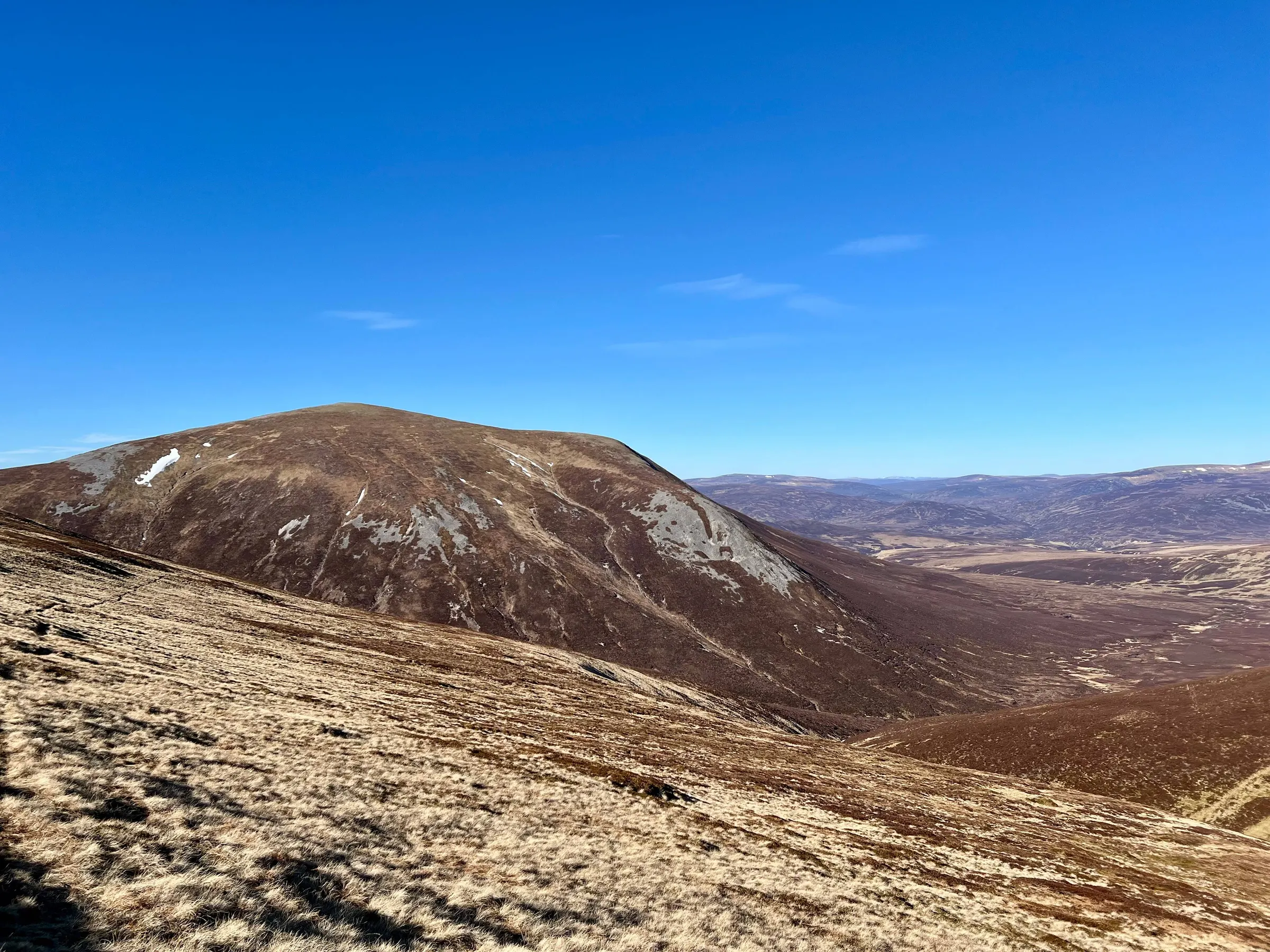
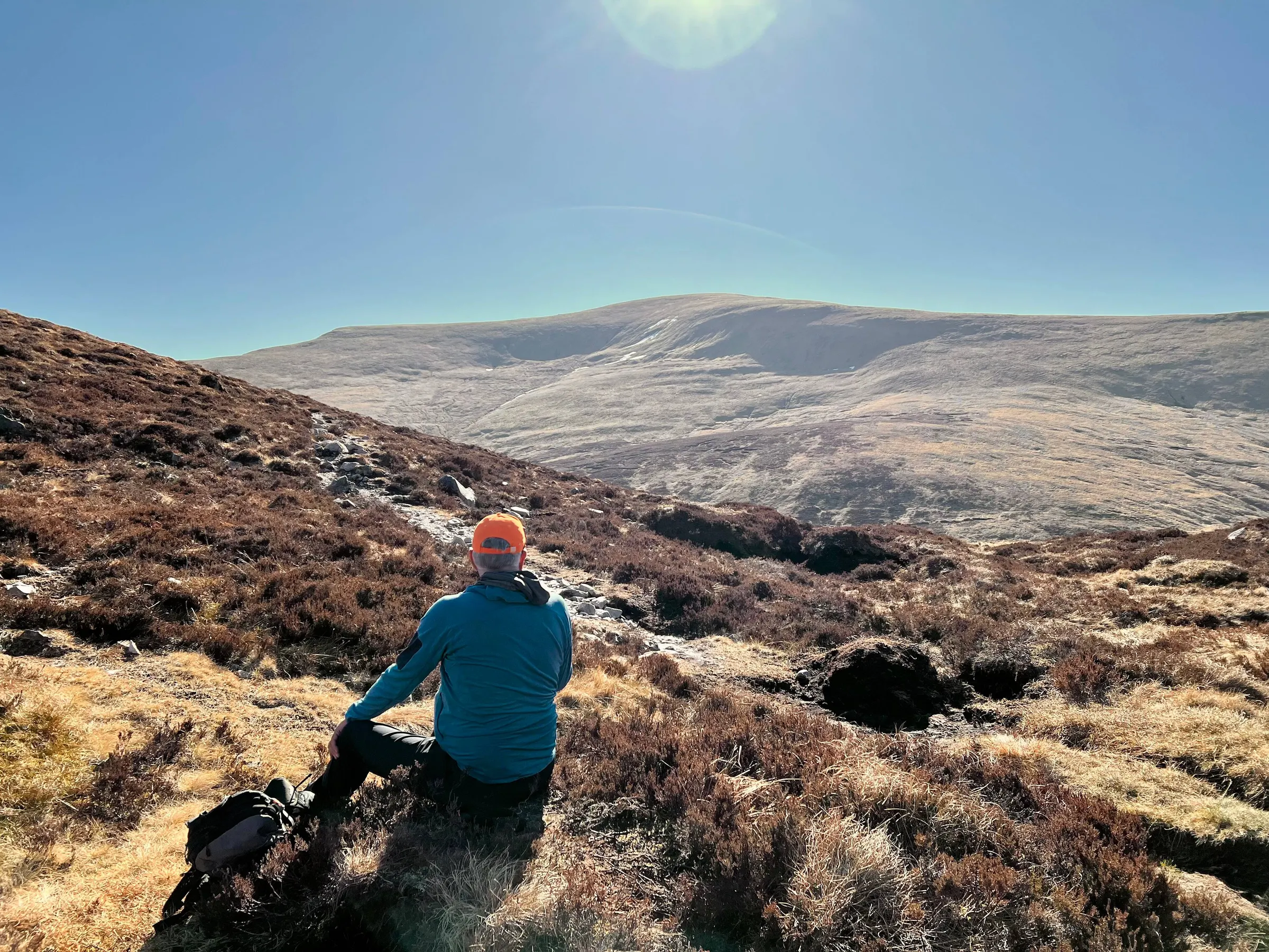
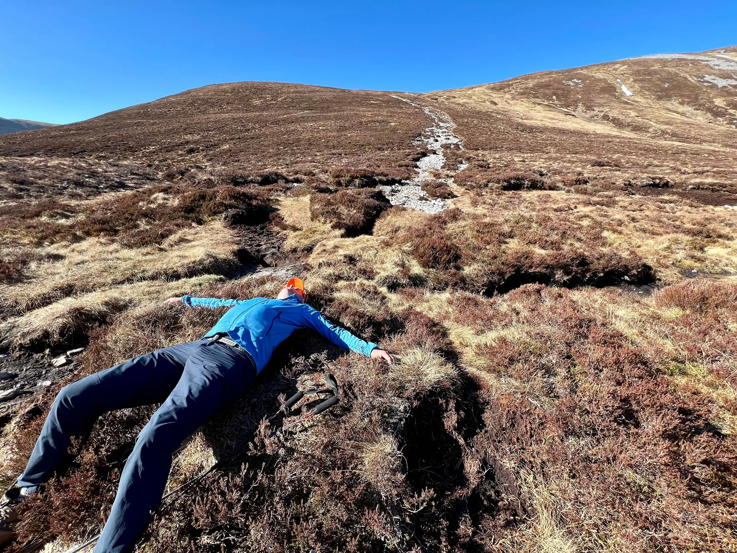
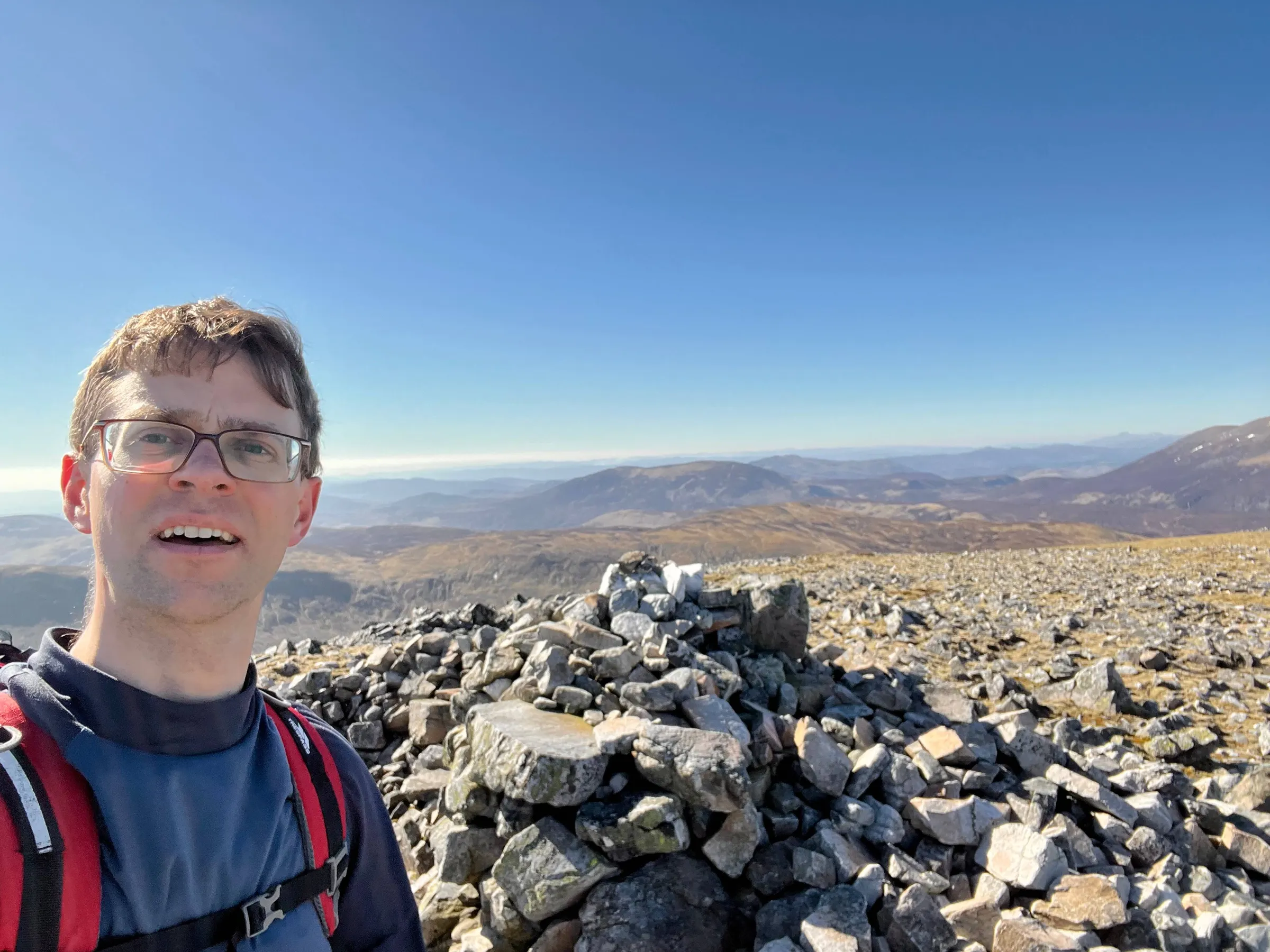
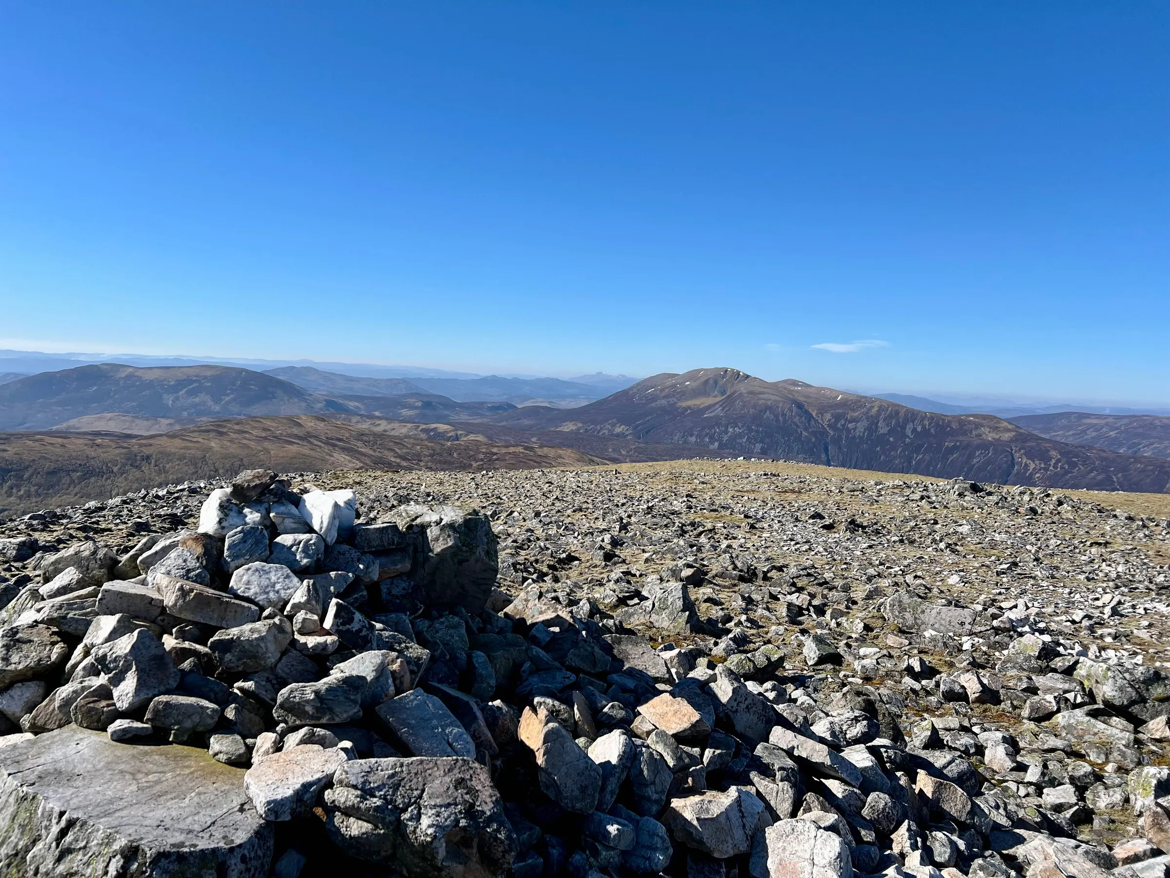
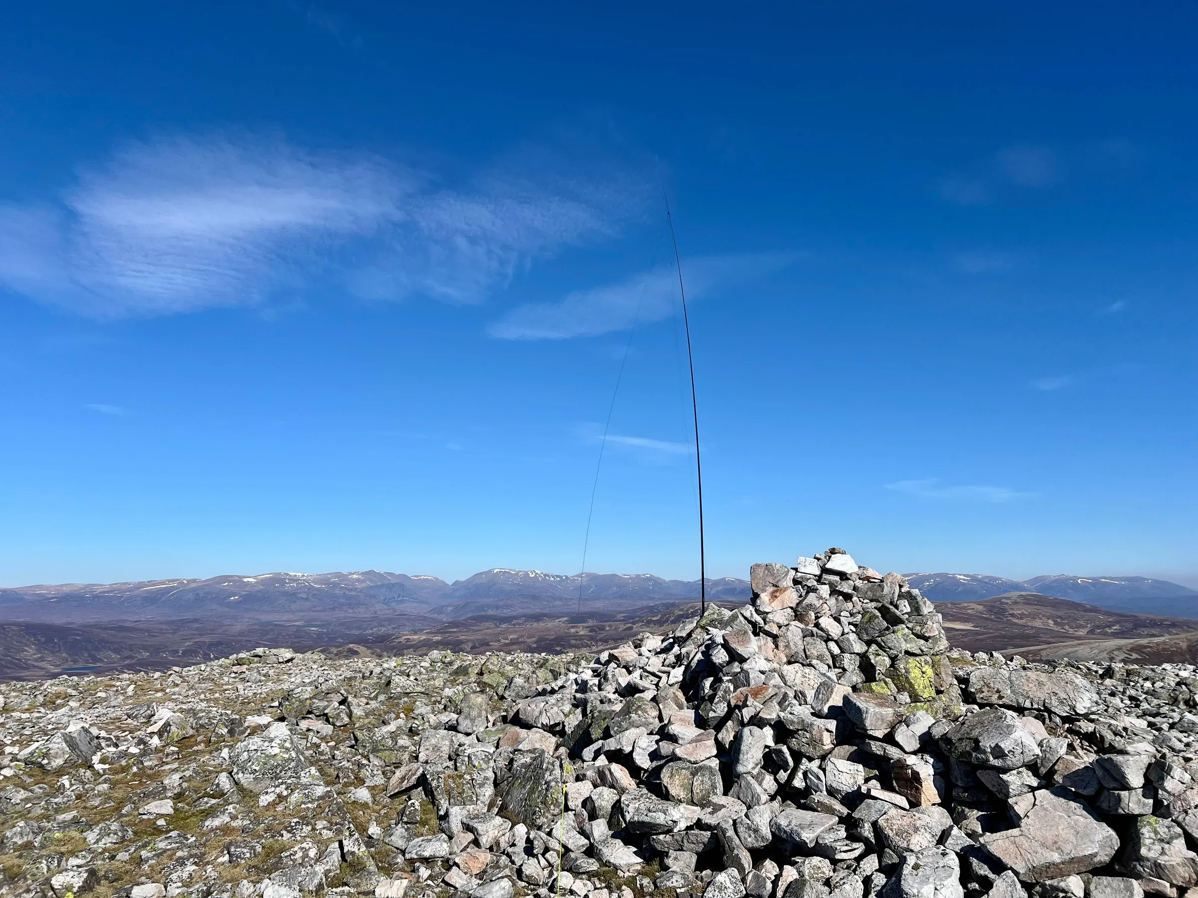
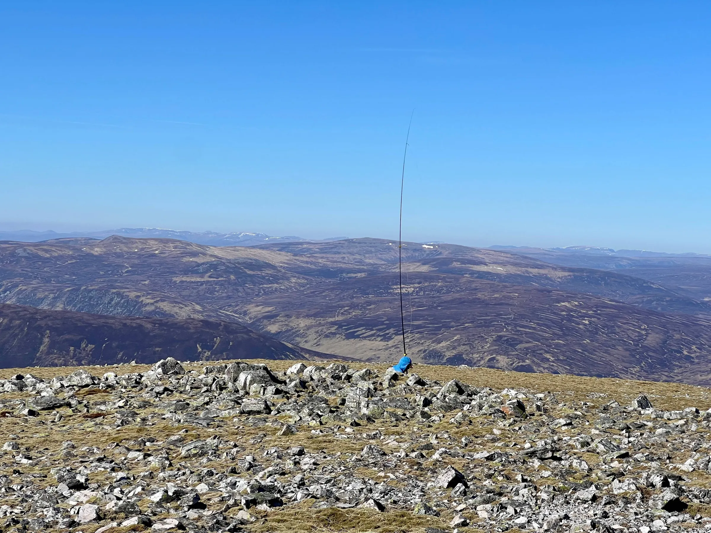
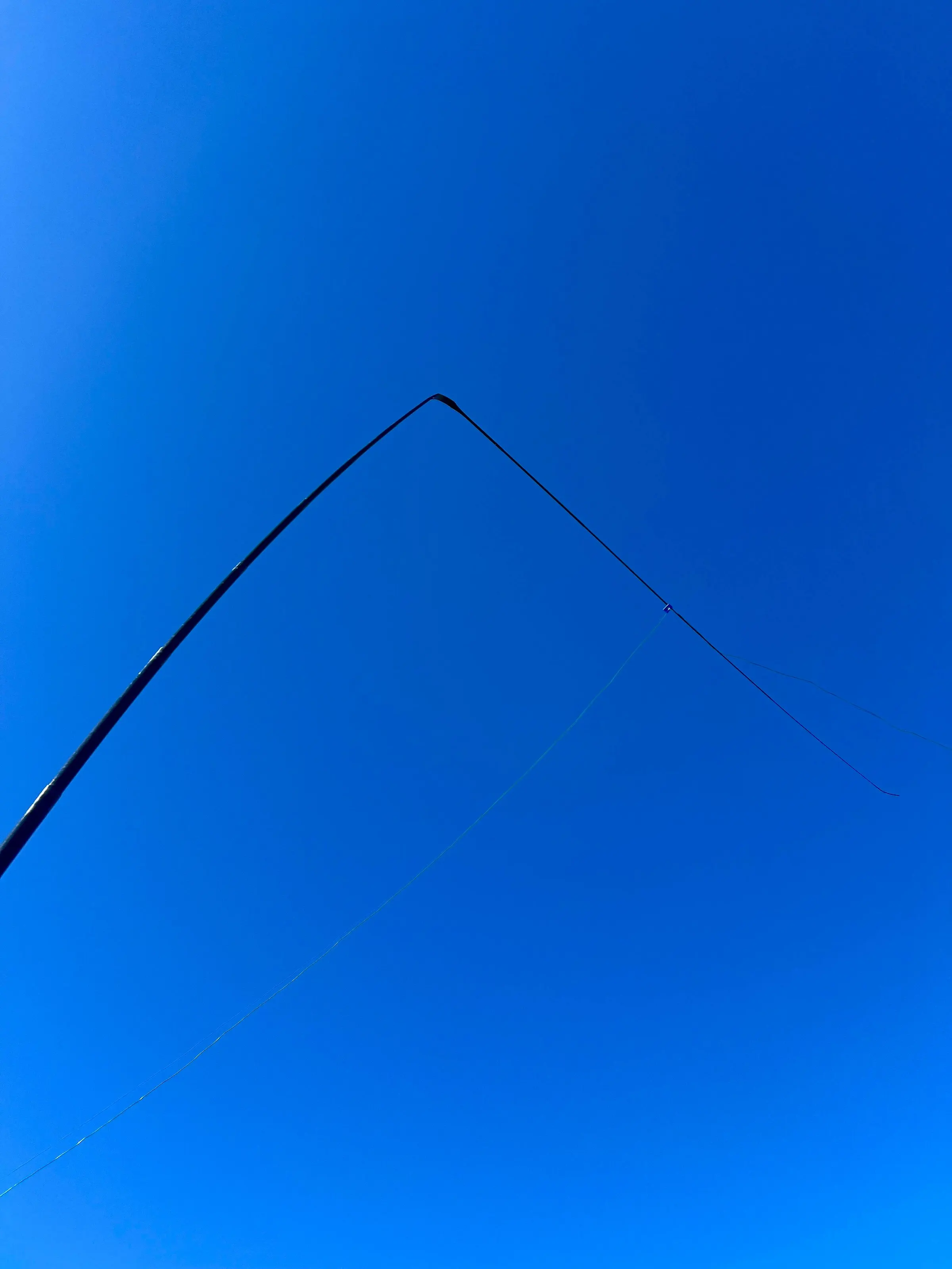
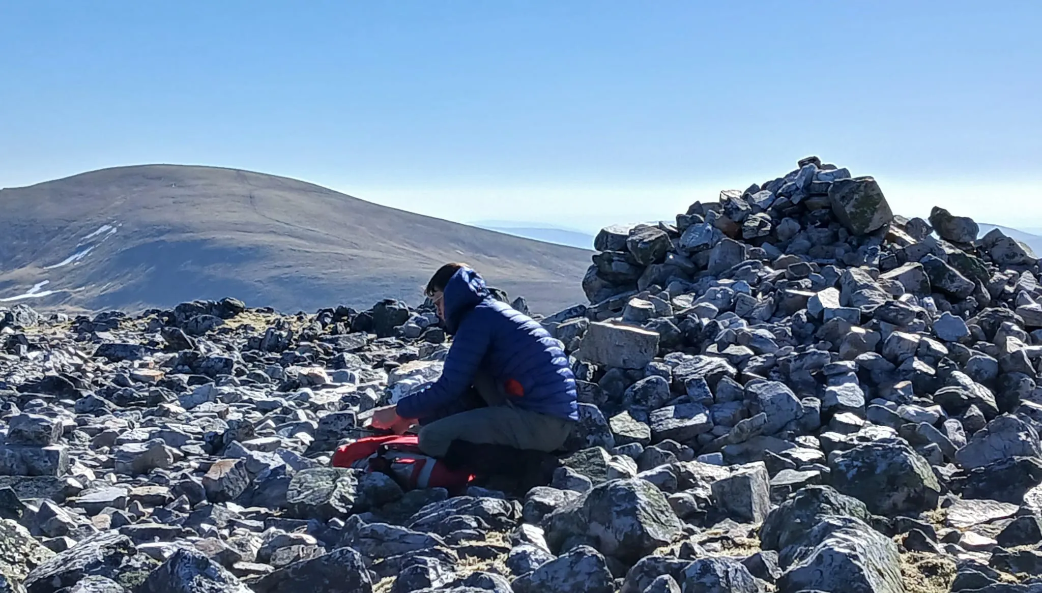
Back down the hill...with a broken mast...and then up to number four - Glas Tulaichean
Glas Tulaichean
This was a slow climb up the steep, pathless side until we got to the track near the top. Slow as it was steep but also as it was number four.
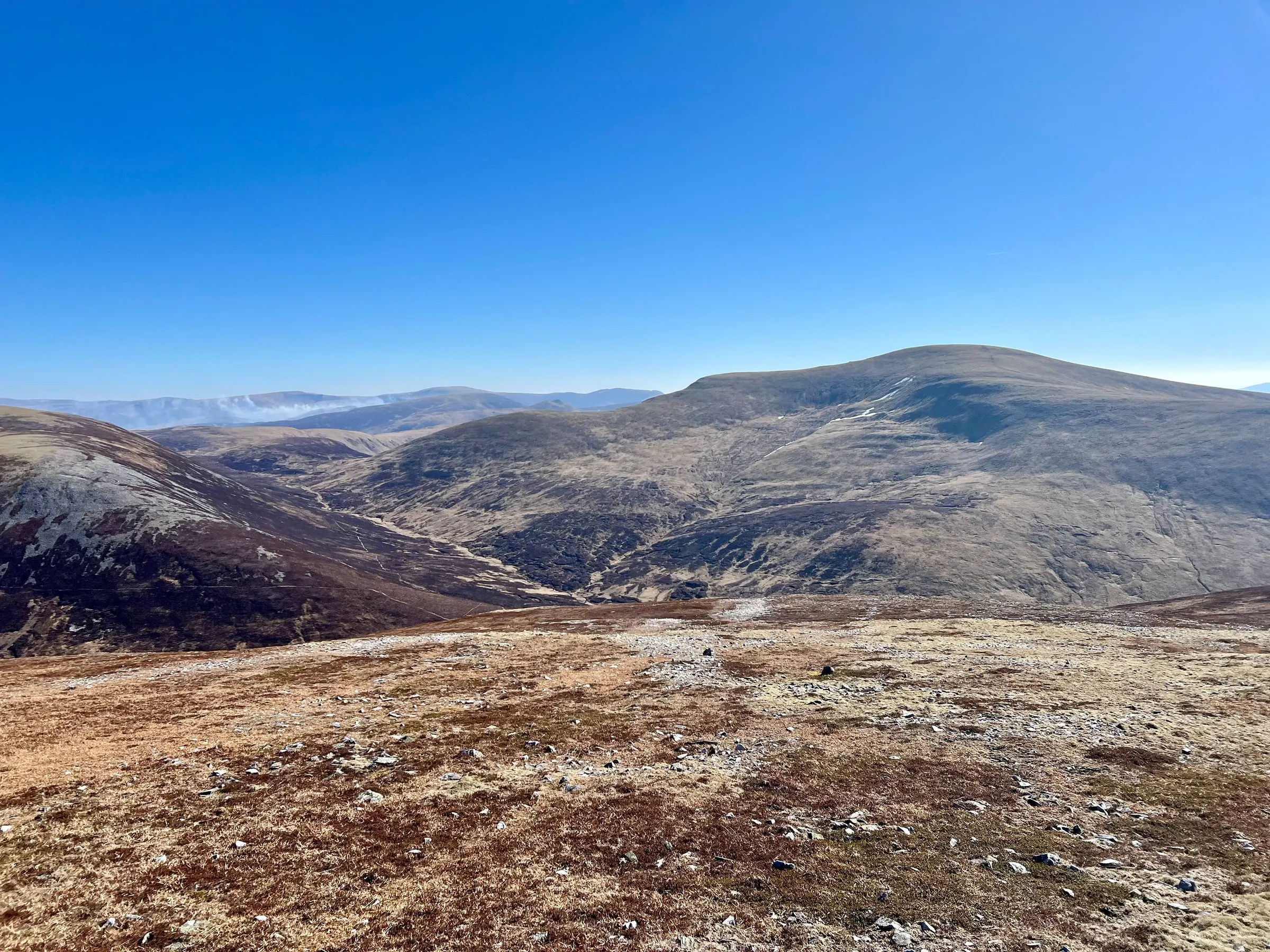
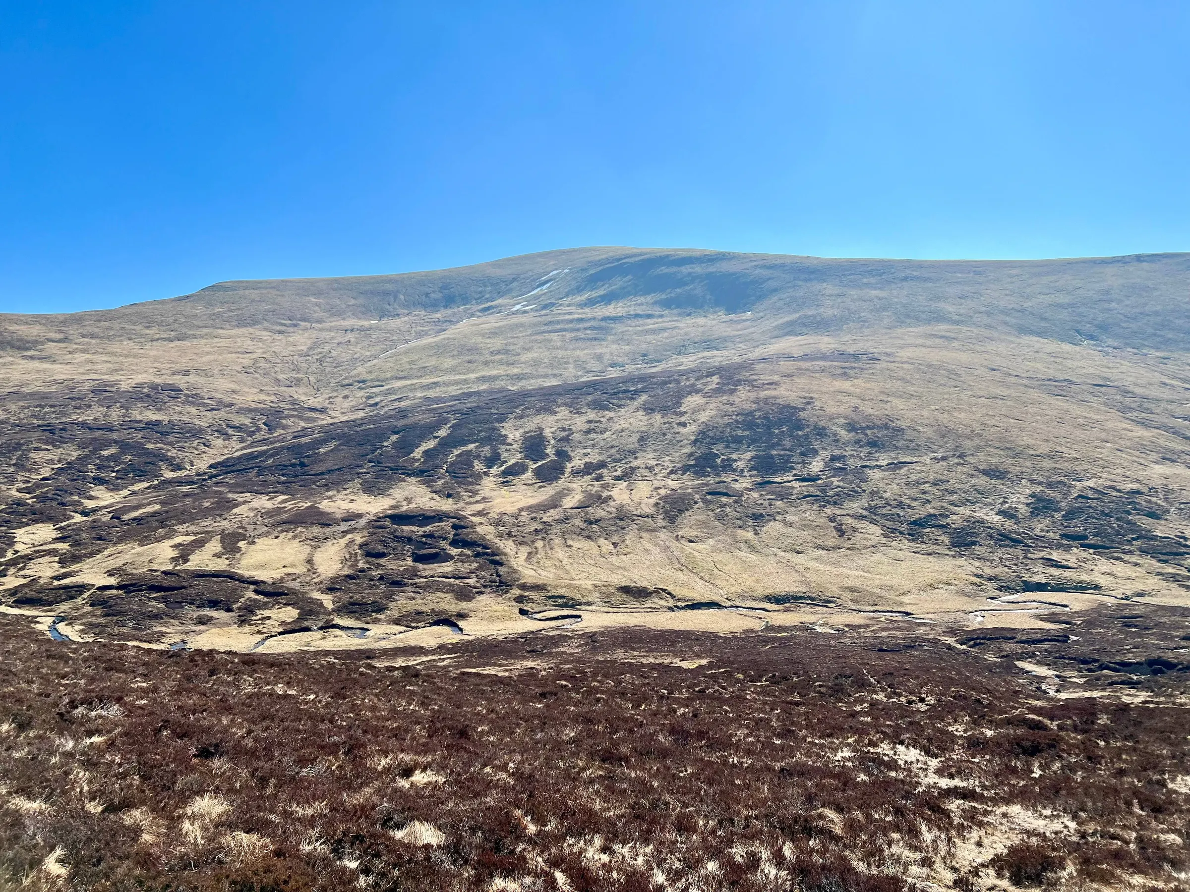
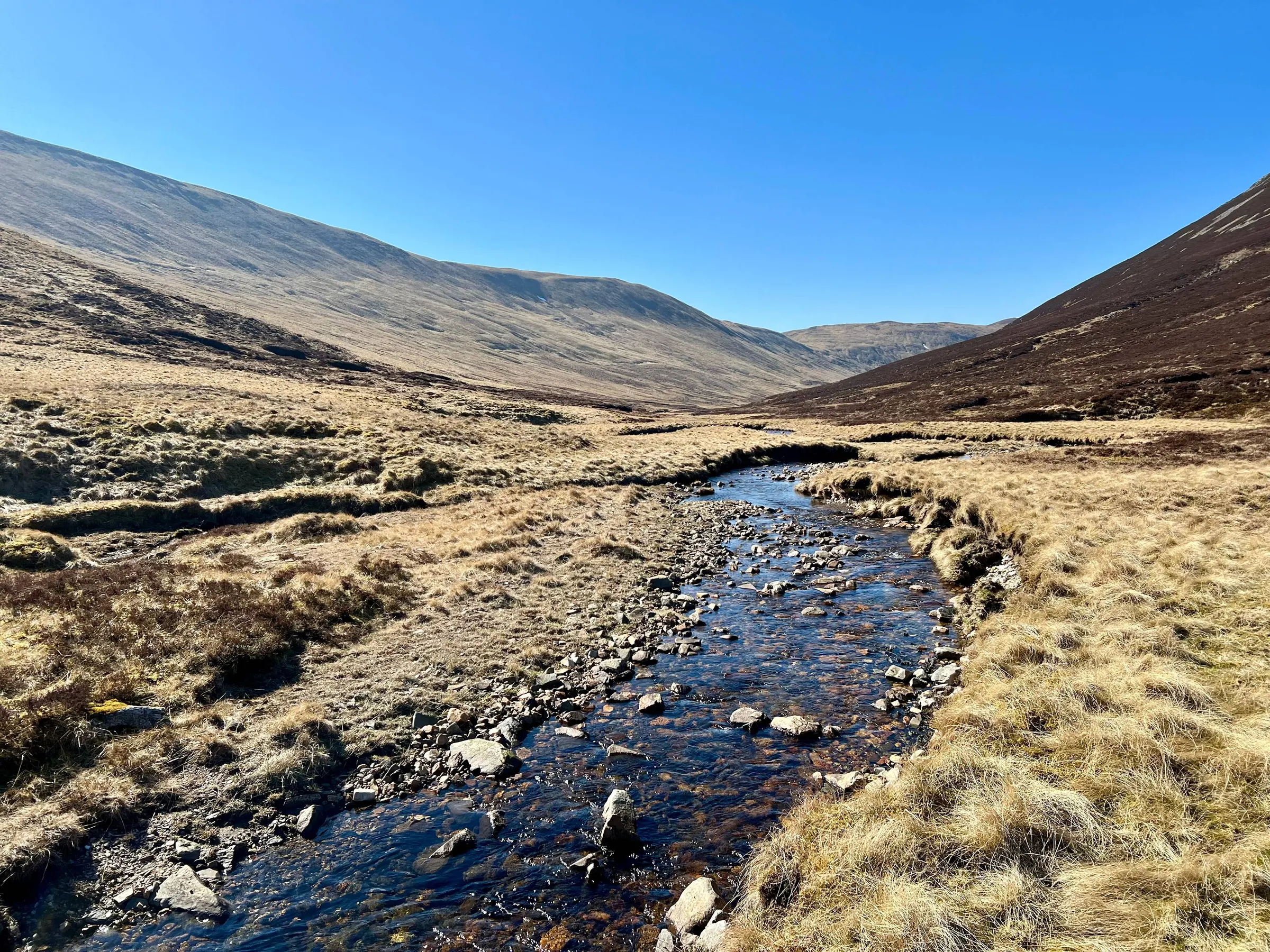
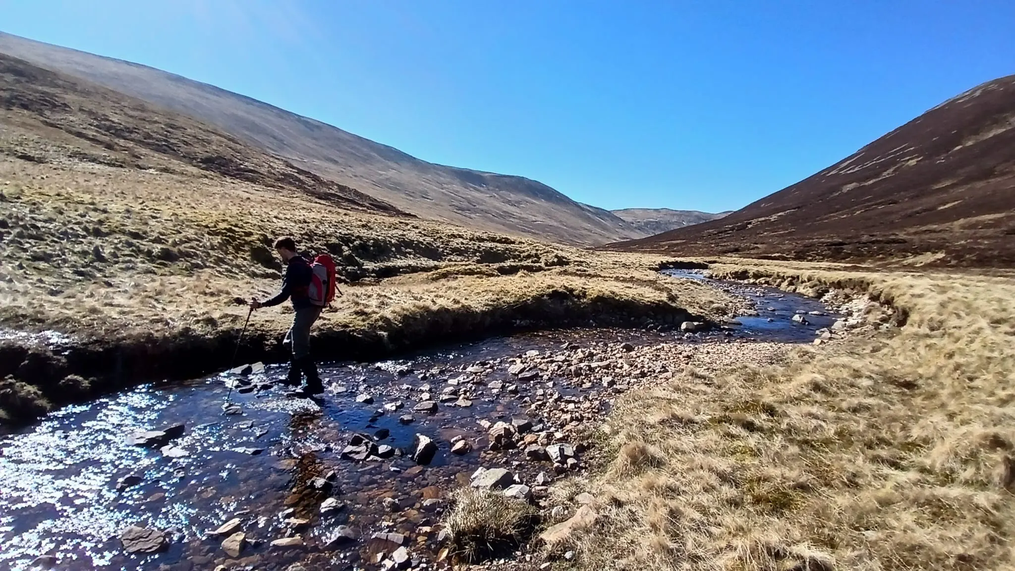
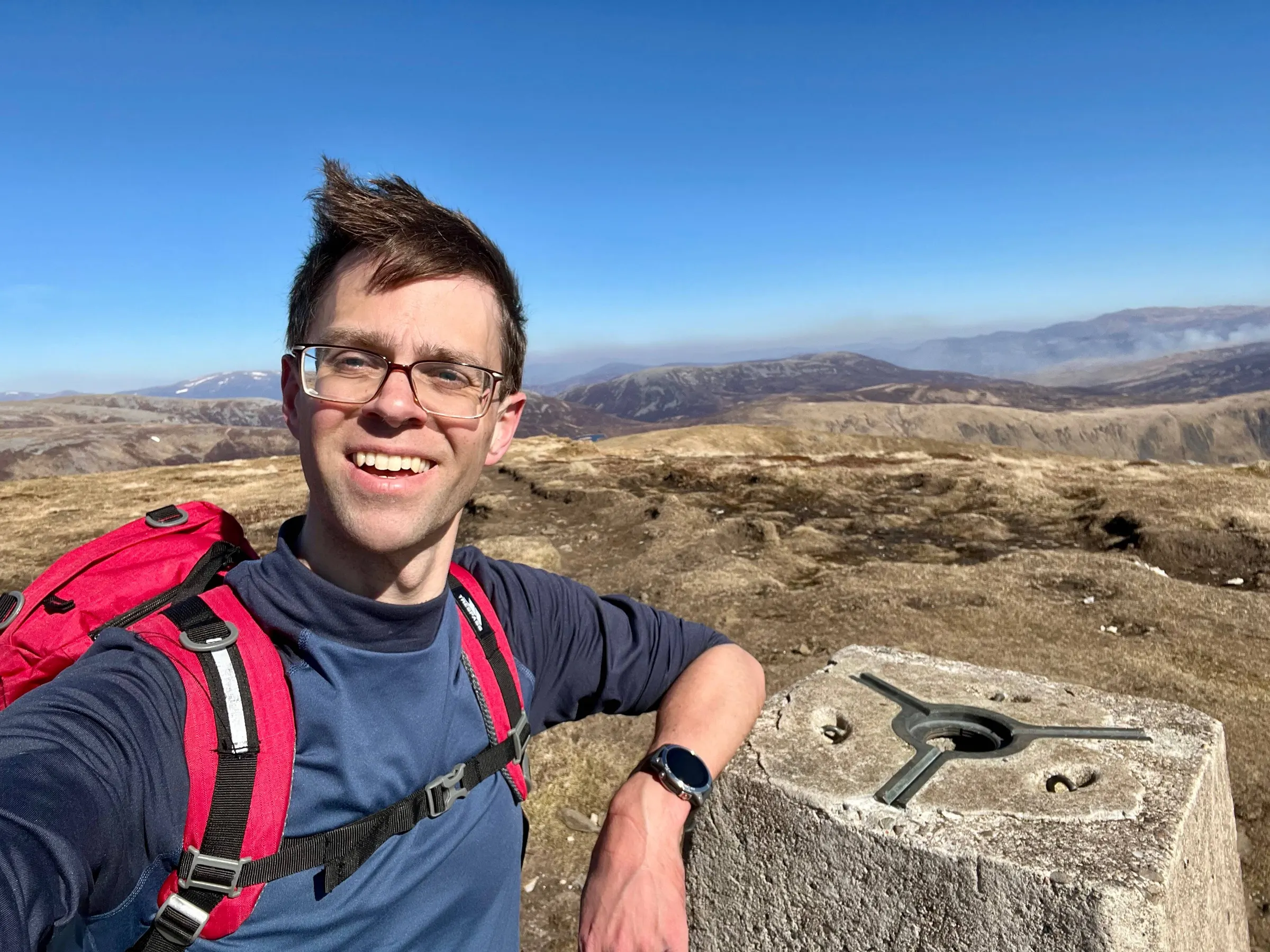
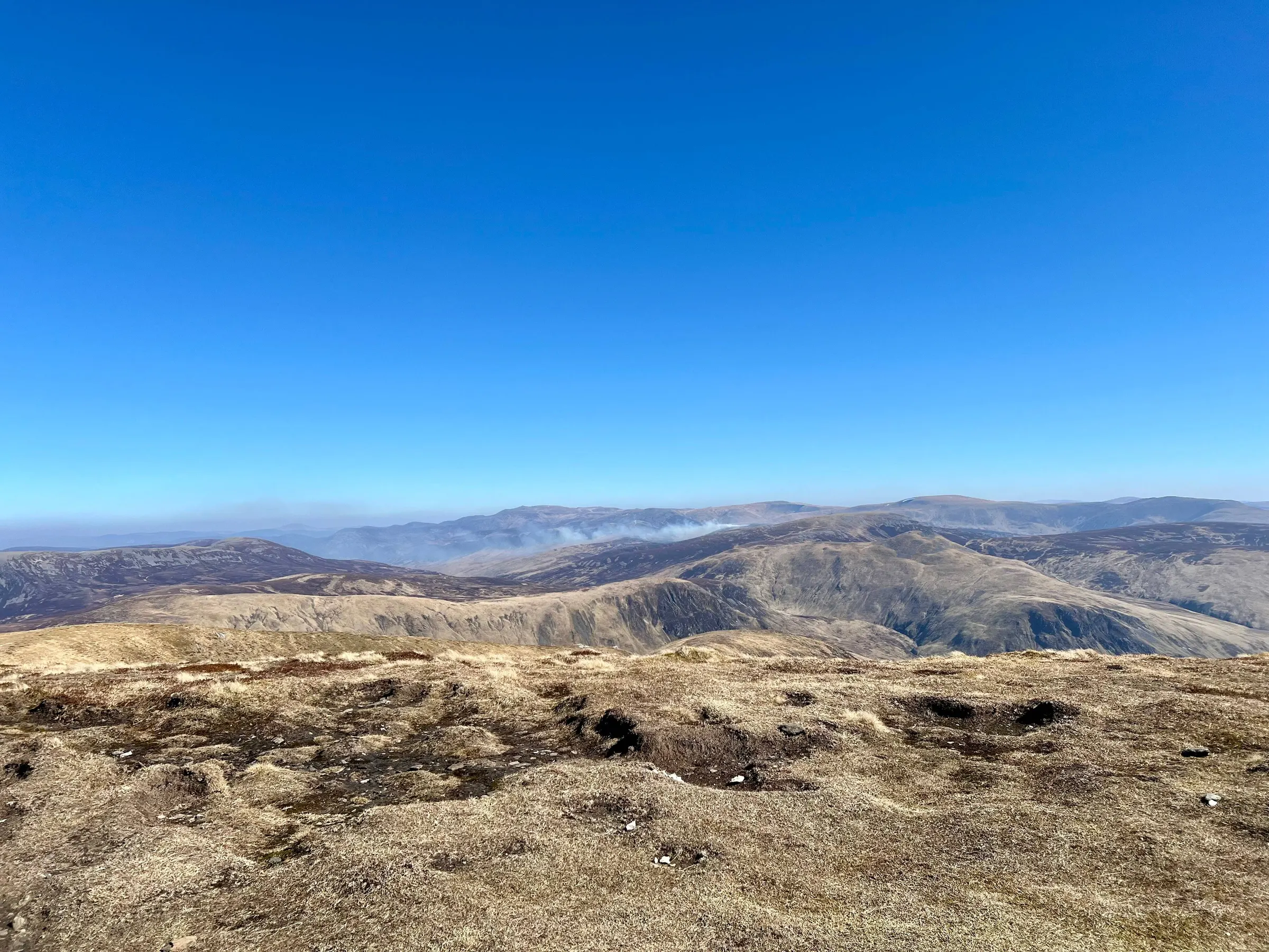
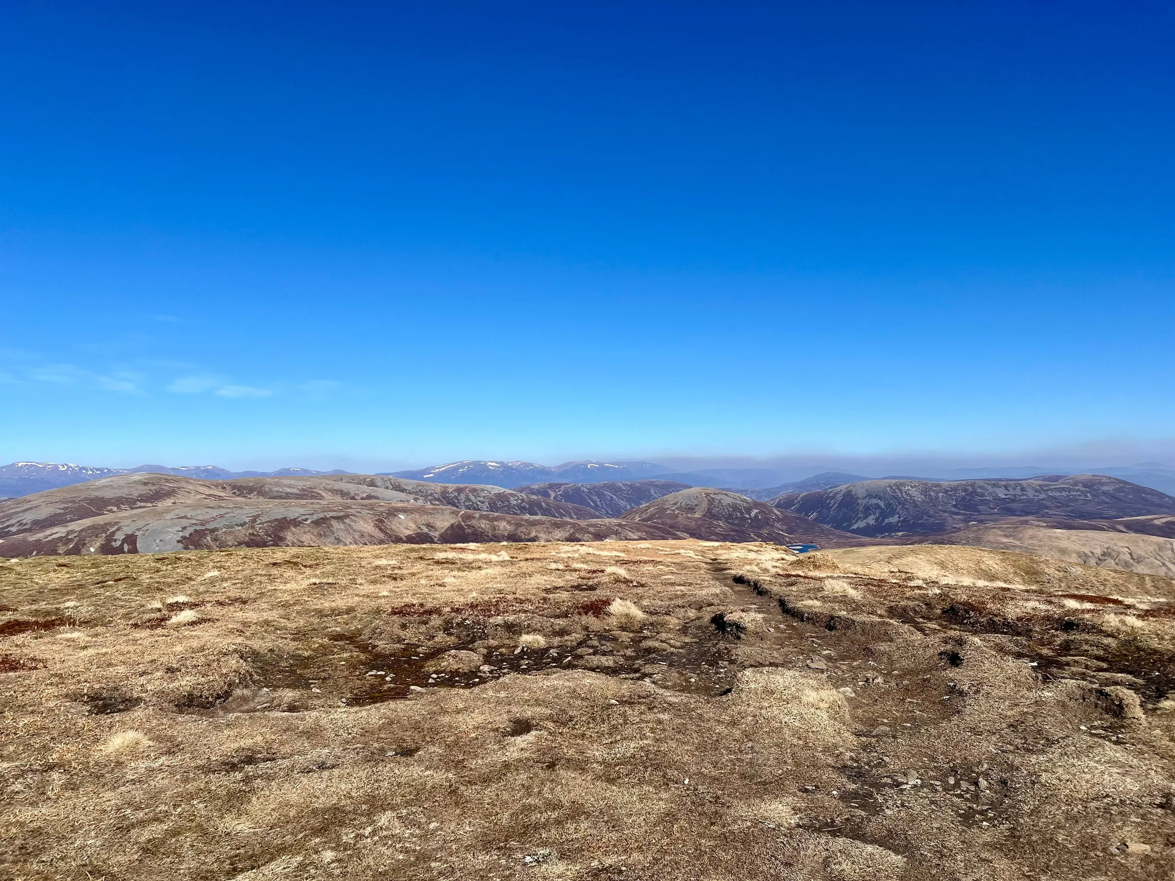
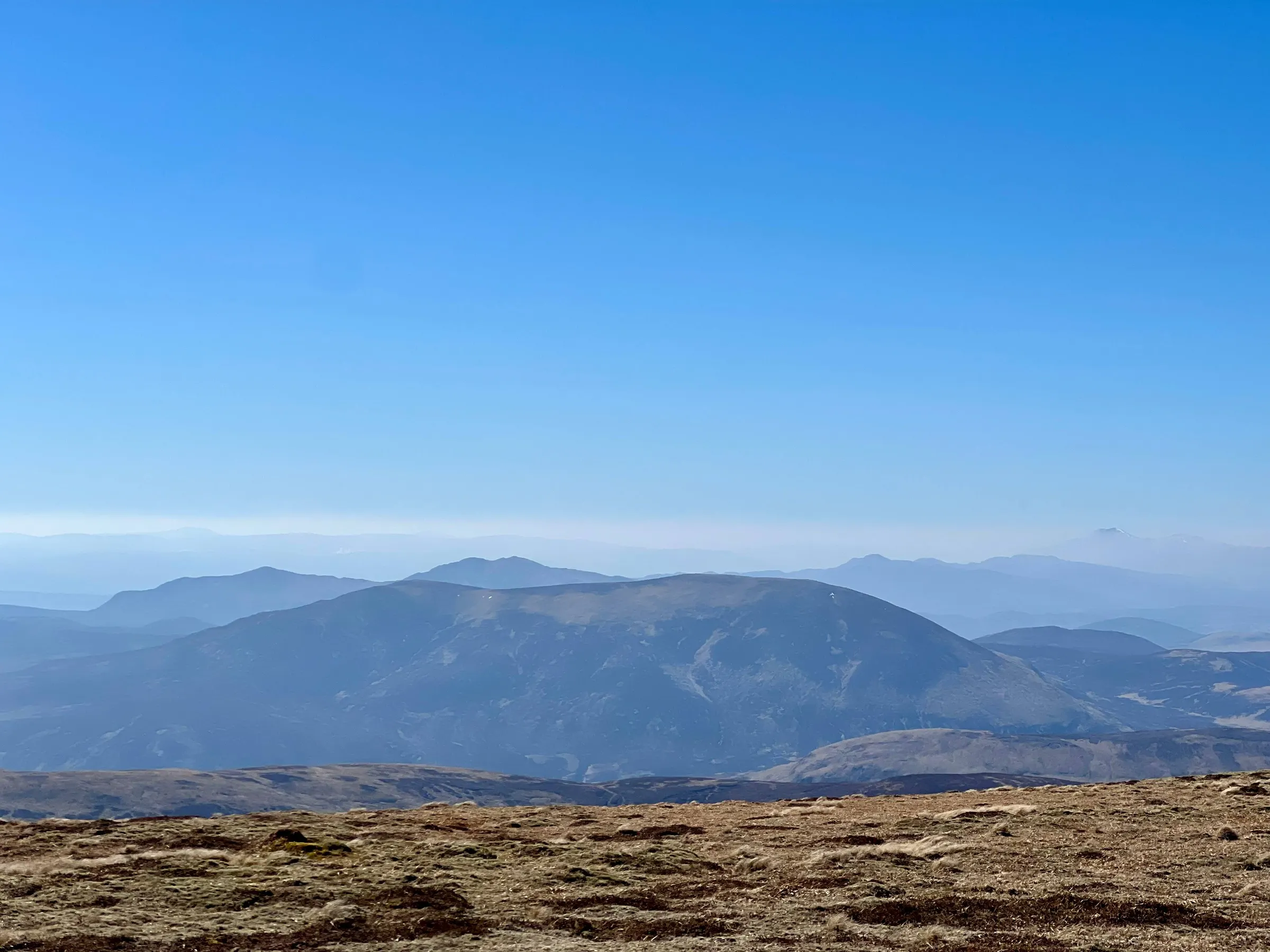
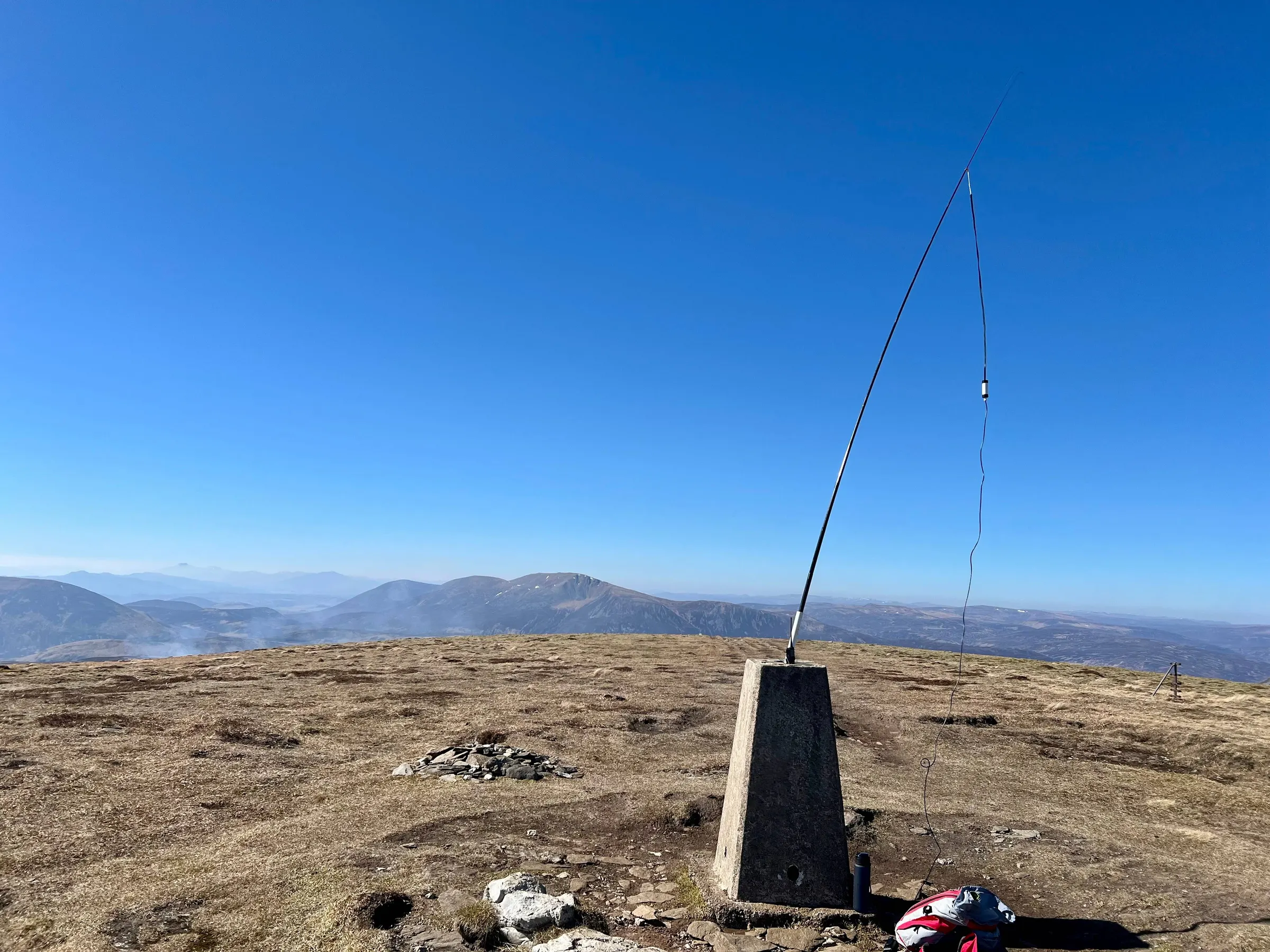
And now the long walk to the final summit, An Socach.
An Socach
It's quite a long walk to An Socach, although enjoyable, particularly around Loch nan Eun. The side up An Socach is steep, and several reports mention this, particularly when done as the loop of 5 munros. Although skipping it doesn't make the route much shorter.
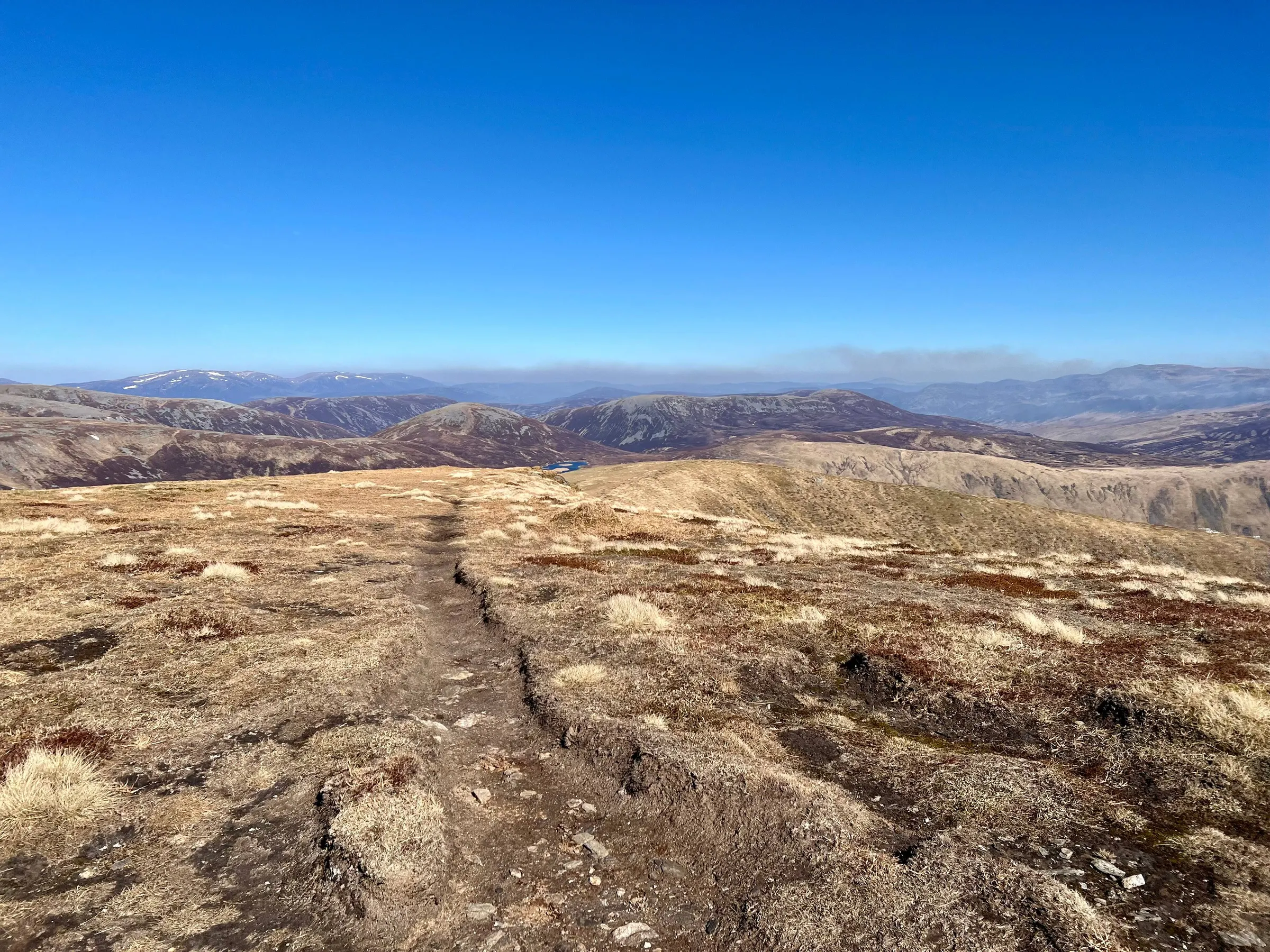
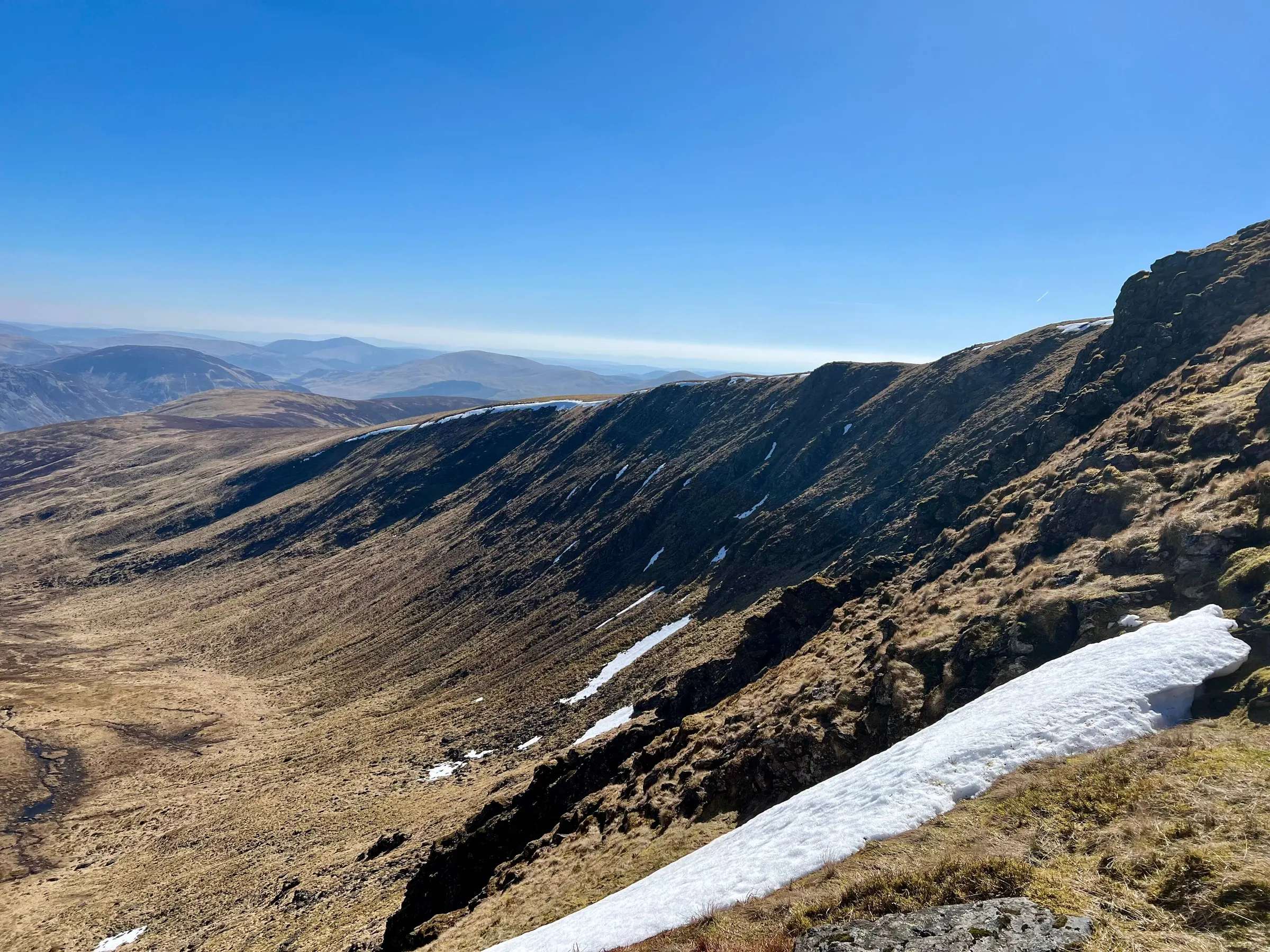
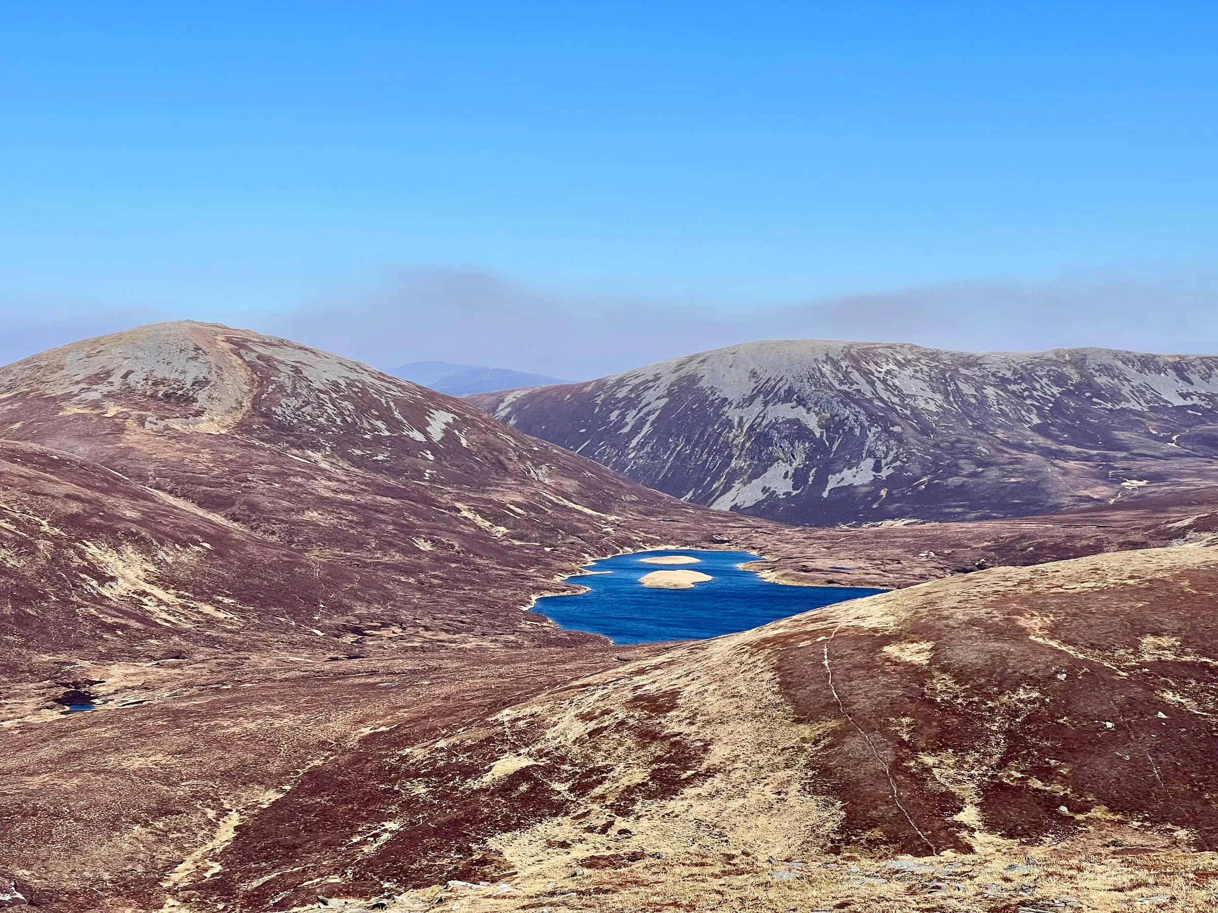
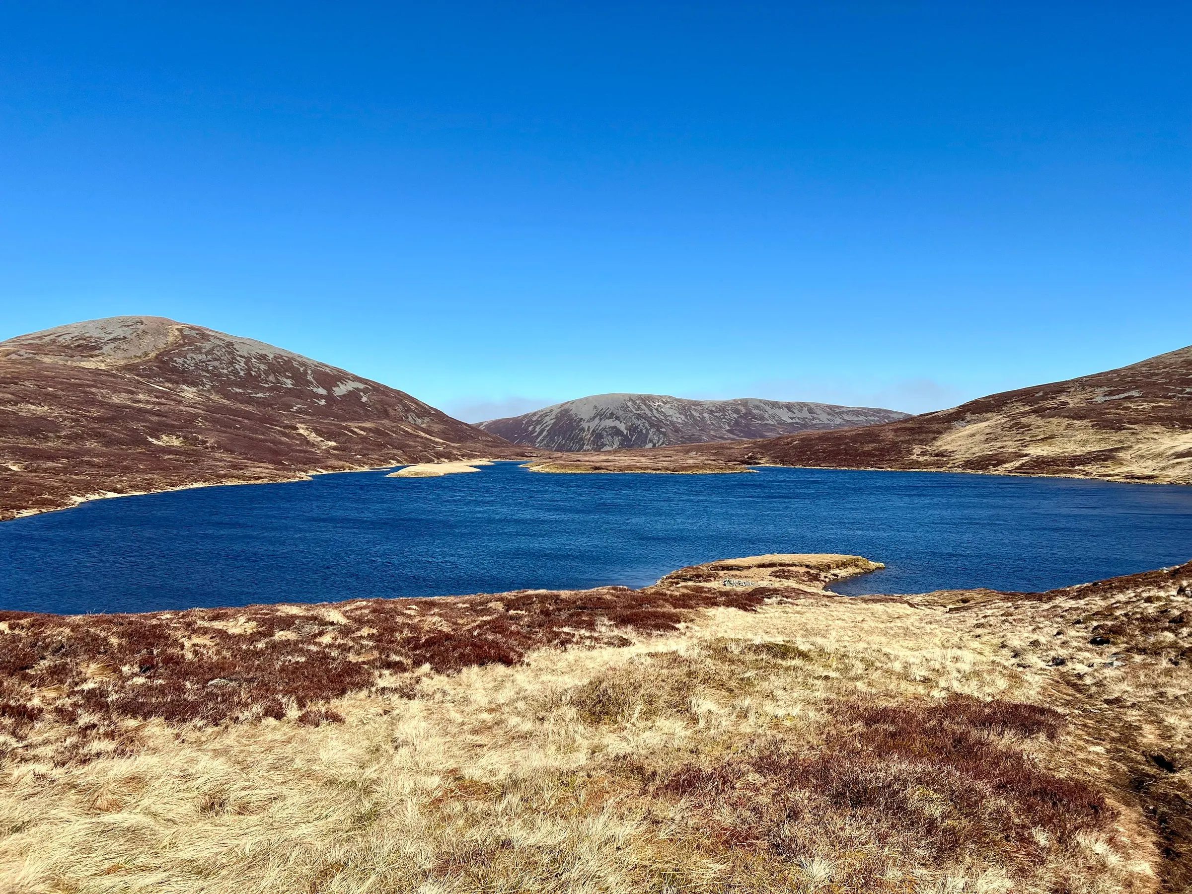
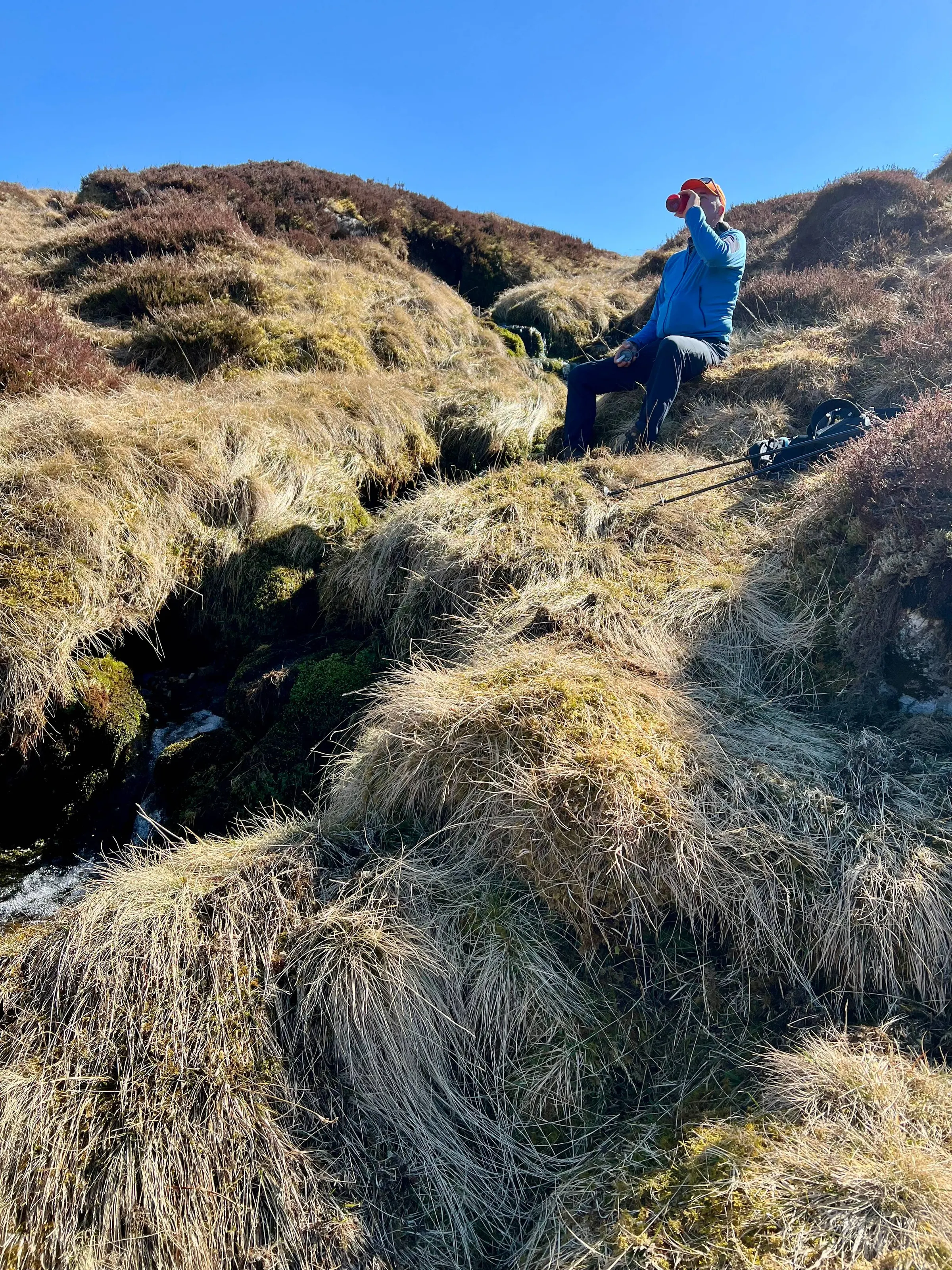
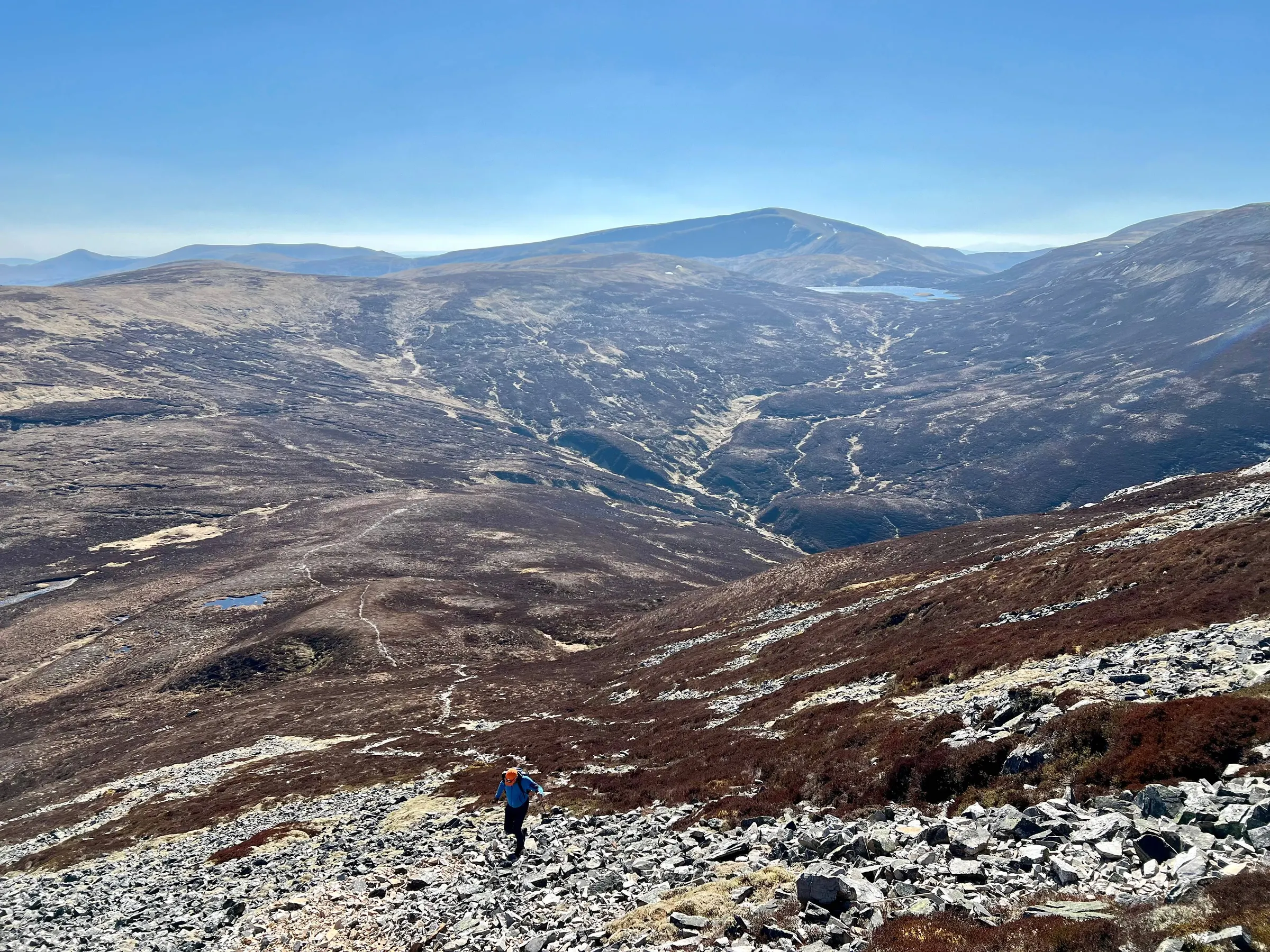
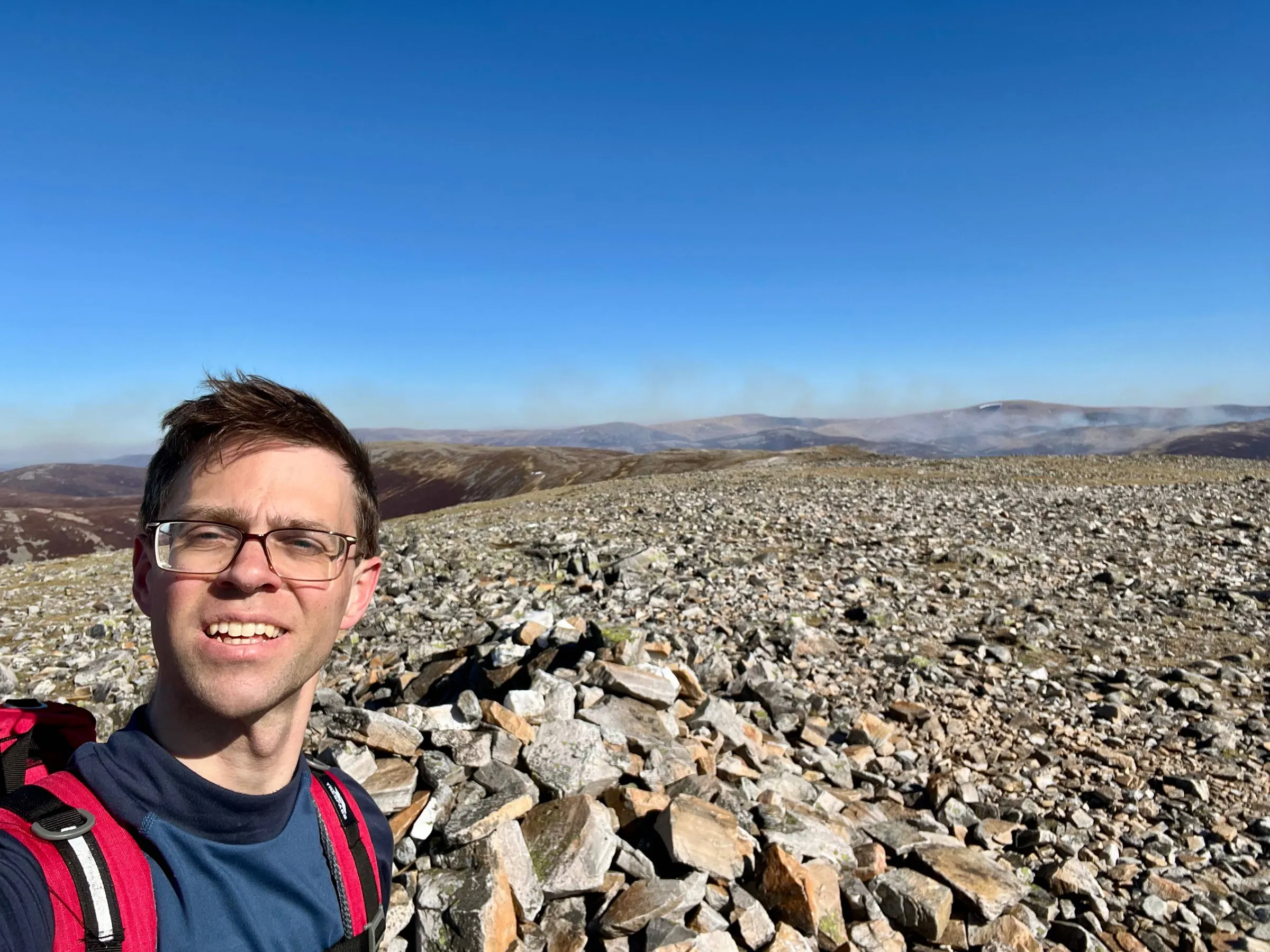
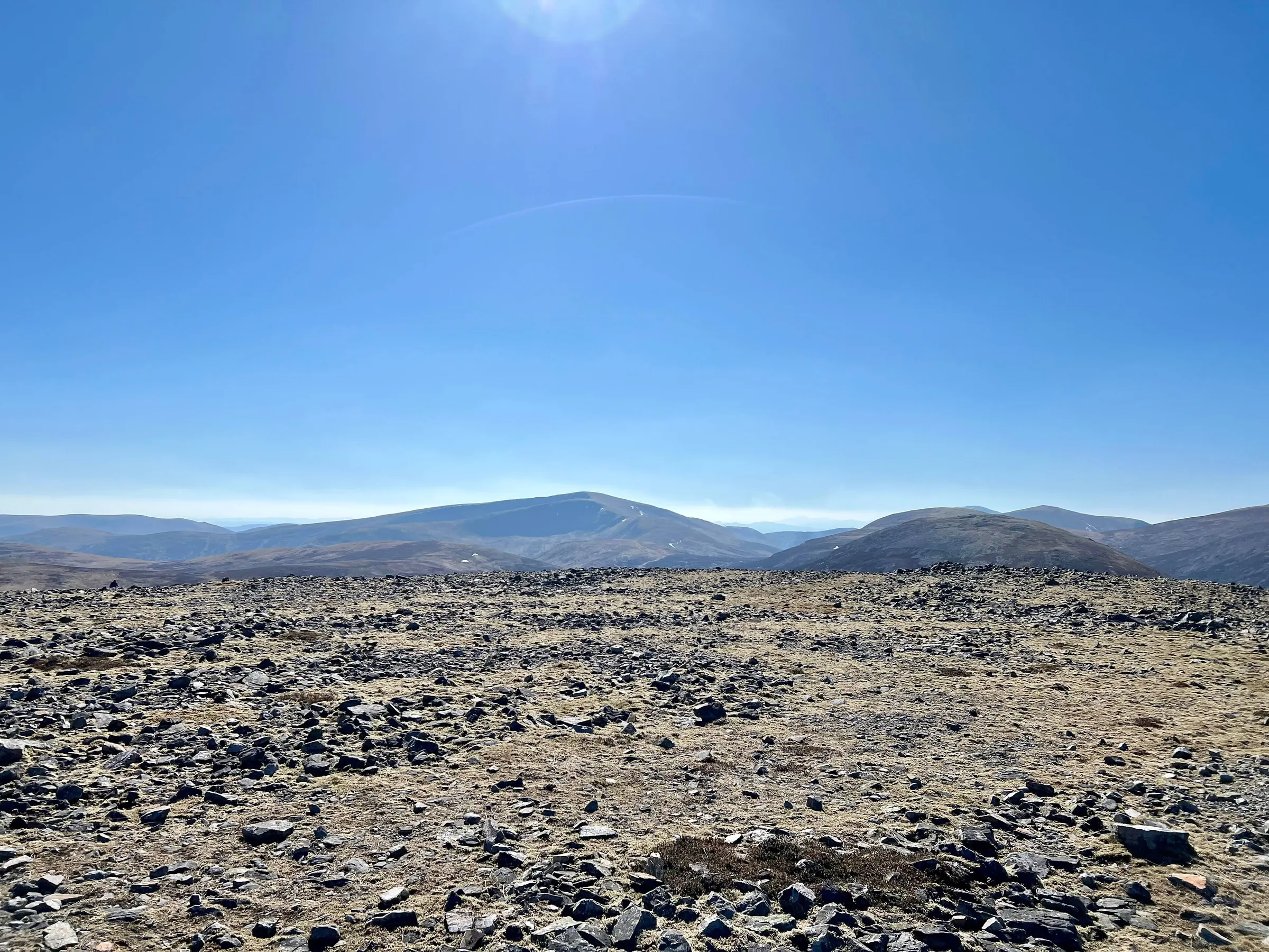
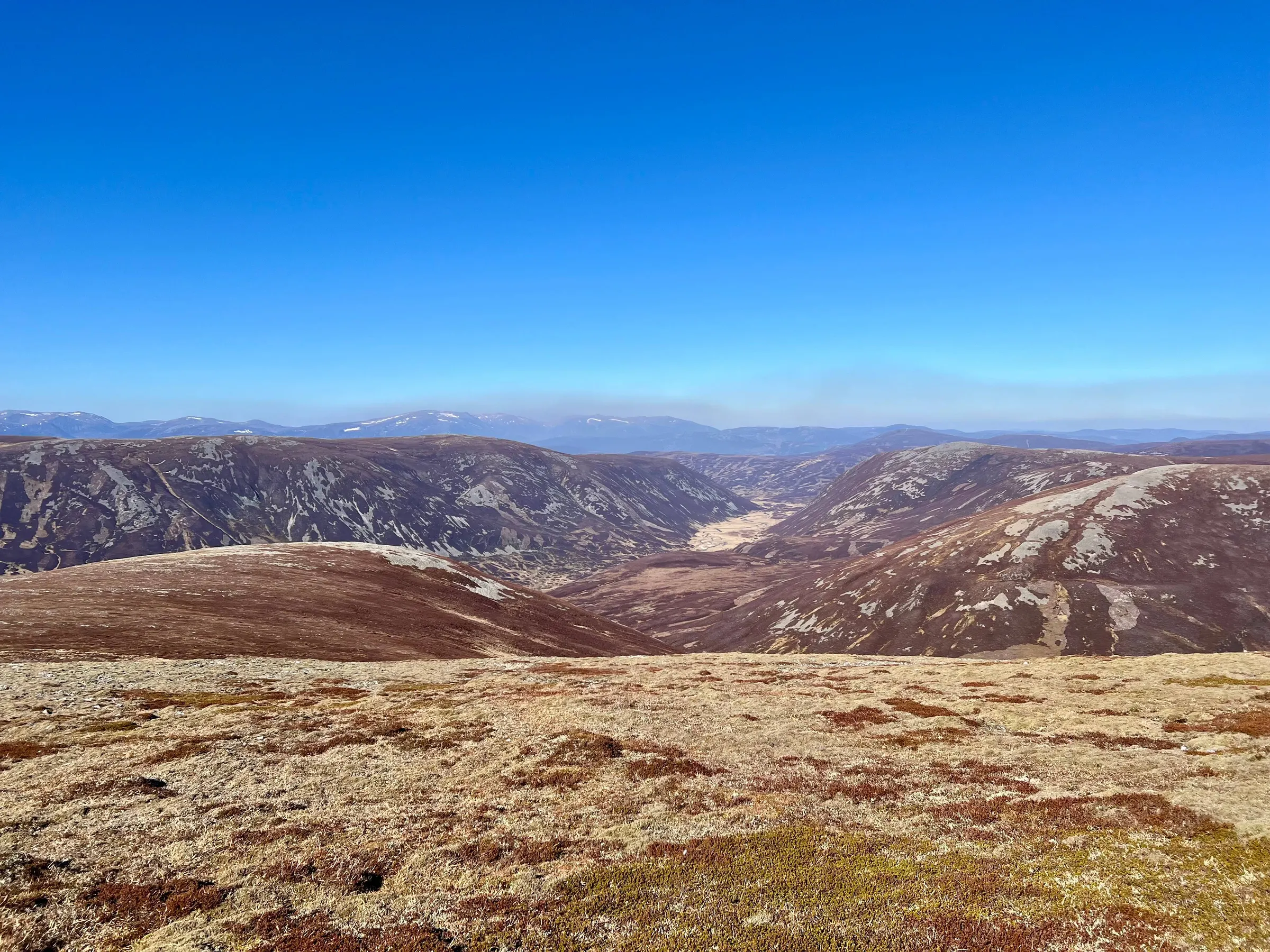
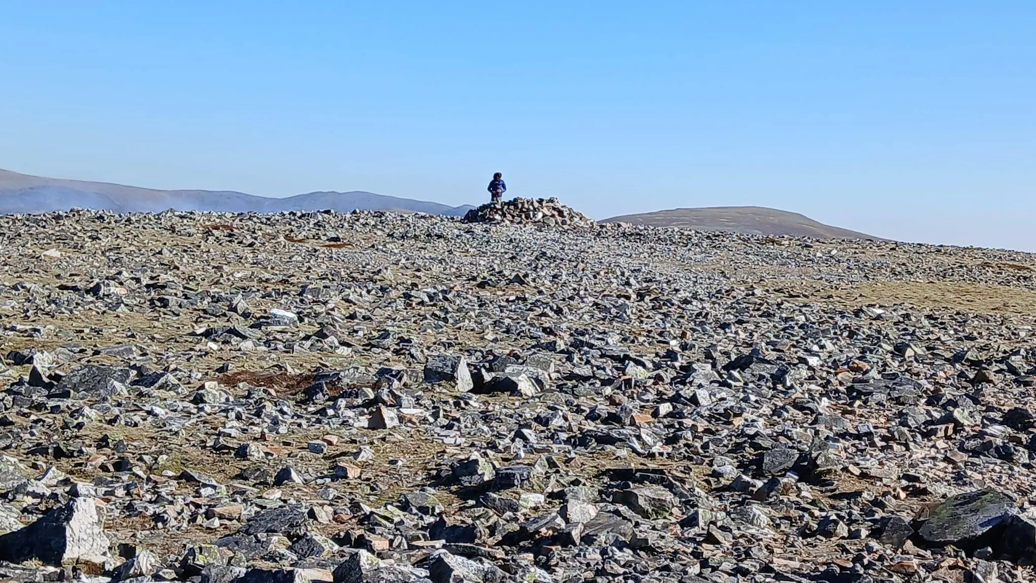
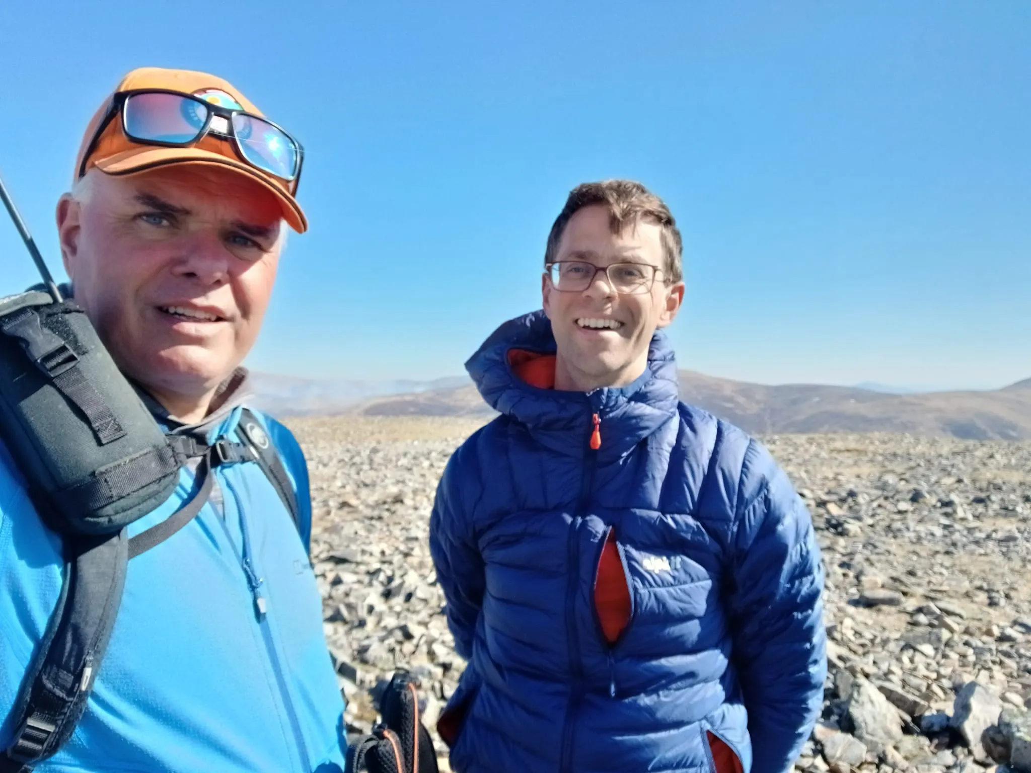
Once we were done, we headed down the ridge and back to our bikes. The cycle ride was mostly downhill and an easy end to the long day. Back home by 18:30, meant I was out of the house for 14 1/2 hours! What a great day!
On air
| Ref | Name | Height | Pts | UTC | QSOs | Bands |
|---|---|---|---|---|---|---|
|
GM/CS-036 ✓
GB-0835 GB-0939 |
Carn Bhac Cairngorms Mar Lodge Estate |
945 | 6 | 07:07–07:10 | 7 | 40m |
|
GM/CS-014 ✓
GB-0835 |
Beinn Iutharn Mhor Cairngorms |
1,045 | 8 | 08:51–08:57 | 10 | 20m |
|
GM/CS-020 ✓
GB-0835 |
Carn an Righ Cairngorms |
1,029 | 8 | 10:25–10:31 | 11 | 40m |
|
GM/CS-011 ✓
GB-0835 GB-6679 |
Glas Tulaichean Cairngorms Glas Tulaichean |
1,051 | 8 | 11:55–12:03 | 5 | 2m |
|
GM/CS-038 ✓
GB-0835 |
An Socach Cairngorms |
944 | 6 | 14:15–14:36 | 9 | 40m2m |
Route
Contacts
- GM/CS-036 7
- GM/CS-014 10
- GM/CS-020 11
- GM/CS-011 5
- GM/CS-038 9
- 40m 24
- 20m 10
- 2m 8
Log
| From | UTC | Call | Band | Mode | Sent | Rcvd | km | Ref |
|---|---|---|---|---|---|---|---|---|
| GM/CS-036 | 07:07 | ON7ZM | 40m | SSB | 59 | 56 | 919 | |
| GM/CS-036 | 07:07 | PA7RA | 40m | SSB | 59 | 59 | 792 | |
| GM/CS-036 | 07:08 | SM4CJM | 40m | SSB | 59 | 59 | 1,188 | |
| GM/CS-036 | 07:08 | ON3YB | 40m | SSB | 59 | 34 | 846 | |
| GM/CS-036 | 07:09 | SP9AMH | 40m | SSB | 59 | 33 | 1,661 | |
| GM/CS-036 | 07:09 | G5OLD | 40m | SSB | 51 | 56 | 613 | |
| GM/CS-036 | 07:10 | EA2CKX | 40m | SSB | 57 | 52 | 1,549 | |
| GM/CS-014 | 08:51 | F4WBN | 20m | SSB | 59 | 59 | 1,500 | |
| GM/CS-014 | 08:52 | EA8DDW | 20m | SSB | 55 | 55 | 3,329 | |
| GM/CS-014 | 08:52 | EA3EVL | 20m | SSB | 51 | 55 | 1,823 | |
| GM/CS-014 | 08:53 | SQ9CWO | 20m | SSB | 59 | 57 | 1,576 | |
| GM/CS-014 | 08:54 | HB9EVF | 20m | SSB | 51 | 54 | 1,323 | |
| GM/CS-014 | 08:54 | SP9AMH | 20m | SSB | 59 | 56 | 1,660 | |
| GM/CS-014 | 08:55 | OK2PDT | 20m | SSB | 59 | 59 | 1,395 | |
| GM/CS-014 | 08:56 | IU6TZS | 20m | SSB | 51 | 55 | 2,034 | |
| GM/CS-014 | 08:57 | IK2LEY | 20m | SSB | 51 | 59 | 1,534 | |
| GM/CS-014 | 08:57 | OH3GZ | 20m | SSB | 55 | 59 | 1,750 | |
| GM/CS-020 | 10:25 | MW0CBC | 40m | SSB | 59 | 57 | 576 | |
| GM/CS-020 | 10:25 | G5OLD | 40m | SSB | 59 | 59 | 607 | |
| GM/CS-020 | 10:26 | M0PCF | 40m | SSB | 59 | 59 | 416 | |
| GM/CS-020 | 10:27 | G6LKB | 40m | SSB | 59 | 59 | 300 | |
| GM/CS-020 | 10:27 | 2M0RVZ | 40m | SSB | 55 | 45 | 88 | |
| GM/CS-020 | 10:28 | GW3YQP/M | 40m | SSB | 53 | 56 | ||
| GM/CS-020 | 10:29 | M0BKV | 40m | SSB | 59 | 59 | 686 | |
| GM/CS-020 | 10:30 | EA2CKX | 40m | SSB | 55 | 52 | 1,543 | |
| GM/CS-020 | 10:30 | G0MHF | 40m | SSB | 59 | 57 | 389 | |
| GM/CS-020 | 10:31 | ON7ZM | 40m | SSB | 57 | 44 | 916 | |
| GM/CS-020 | 10:31 | 2E0FEH | 40m | SSB | 59 | 44 | 722 | |
| GM/CS-011 | 11:55 | GM5JFC | 2m | FM | 53 | 53 | 58 | |
| GM/CS-011 | 11:58 | GM4LUD | 2m | FM | 59 | 59 | 127 | |
| GM/CS-011 | 11:59 | GM4COX | 2m | FM | 59 | 58 | 128 | |
| GM/CS-011 | 12:01 | 2M0RVZ | 2m | FM | 59 | 55 | 87 | |
| GM/CS-011 | 12:03 | MM0RFN | 2m | FM | 51 | 44 | 94 | |
| GM/CS-038 | 14:15 | MW0CBC/P | 40m | SSB | 57 | 51 | 562 | GW/SW-016 |
| GM/CS-038 | 14:23 | GM5JFC | 2m | FM | 55 | 33 | 62 | |
| GM/CS-038 | 14:24 | MM6RMM | 2m | FM | 59 | 55 | 64 | |
| GM/CS-038 | 14:27 | 2M0RVZ | 2m | FM | 57 | 31 | 82 | |
| GM/CS-038 | 14:32 | M0RVX | 40m | SSB | 59 | 33 | 640 | |
| GM/CS-038 | 14:33 | M0JKS/P | 40m | SSB | 57 | 57 | 295 | G/LD-056 |
| GM/CS-038 | 14:34 | G6LKB | 40m | SSB | 59 | 57 | 303 | |
| GM/CS-038 | 14:35 | SQ9CWO | 40m | SSB | 55 | 44 | 1,573 | |
| GM/CS-038 | 14:36 | 2W0ILQ | 40m | SSB | 55 | 55 | 595 |