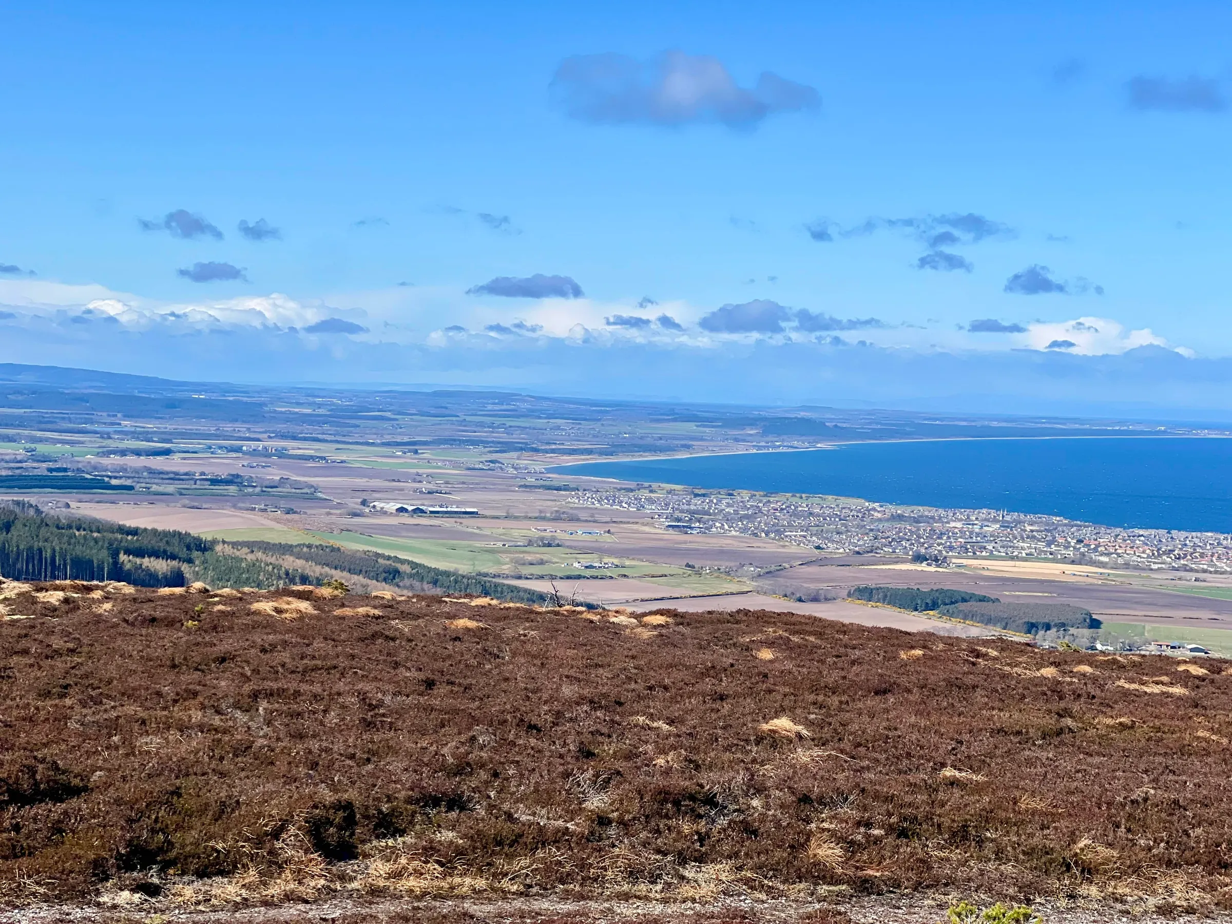
Bin of Cullen & Knock Hill
- Summits
- 2
- Distance
- 22.0 km
- Ascent
- 739 m
- Time
- 2h 37m
- QSOs
- 13
- Bands
- 40m20m15m10m2m
Bin of Cullen
This was our GM/ES North East activation day, where we all activate some of the 1 pointers to the North of Aberdeenshire. I certainly need to activate several of them to complete the ES region, and it's nice to get some completes as well as have a day out with lots of people out and about. Makes it more fun when there's some 2m activity, plus we all try to meet up afterwards for "tea and medals".
Well what a windy day! Don’t think we were expecting it to be quite this bad, however, no-one was blown away! 🥳
I was doing Bin of Cullen, GM/ES-084, and then Knock Hill, GM/ES-073. On the way there the A96 was closed by the police, and no diversions had been setup, so it was a random drive following Google Maps hoping to return to the A96 further north…of which the first attempt was still closed by the police. Anyway, I made it, and it only cost about 15 minutes. The others had already started and many comments on whatsapp about the wind were pinging on my phone. Apart from the wind, it was a lovely day.
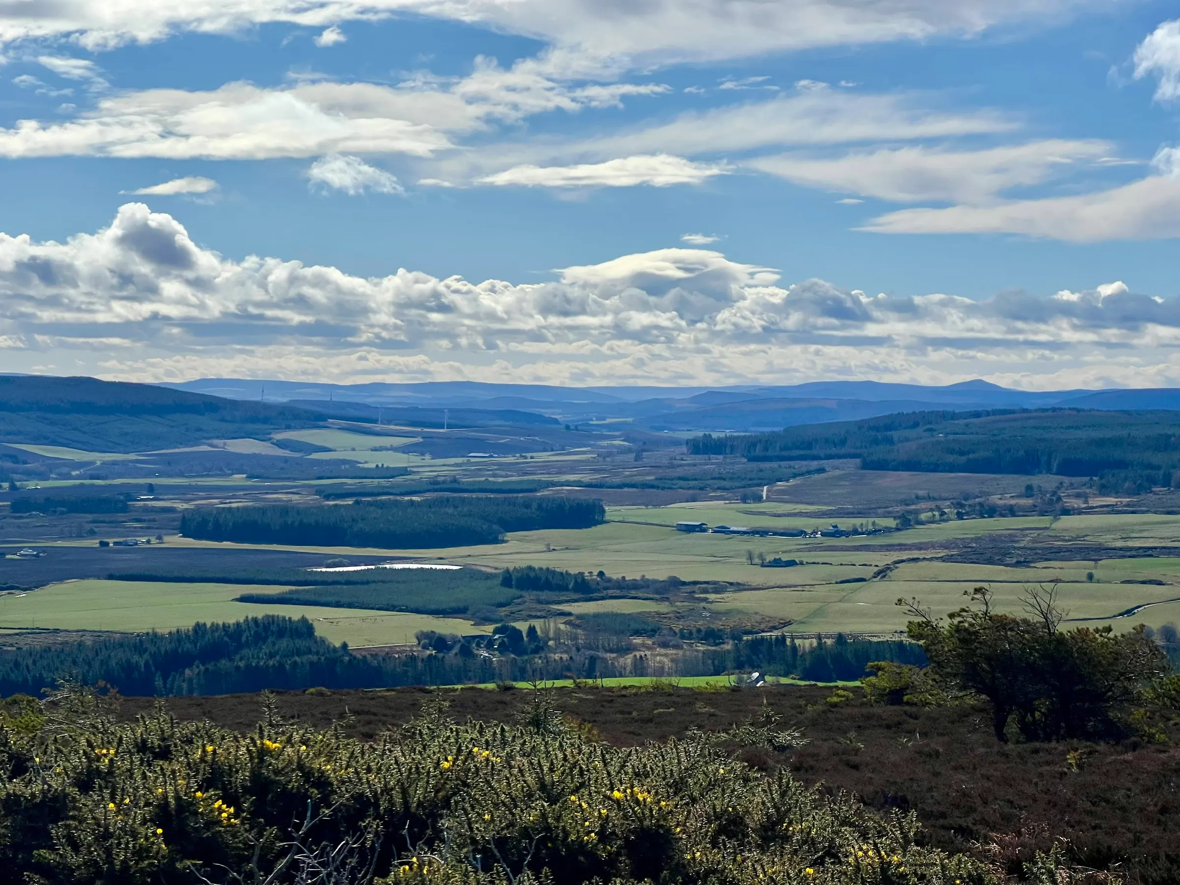
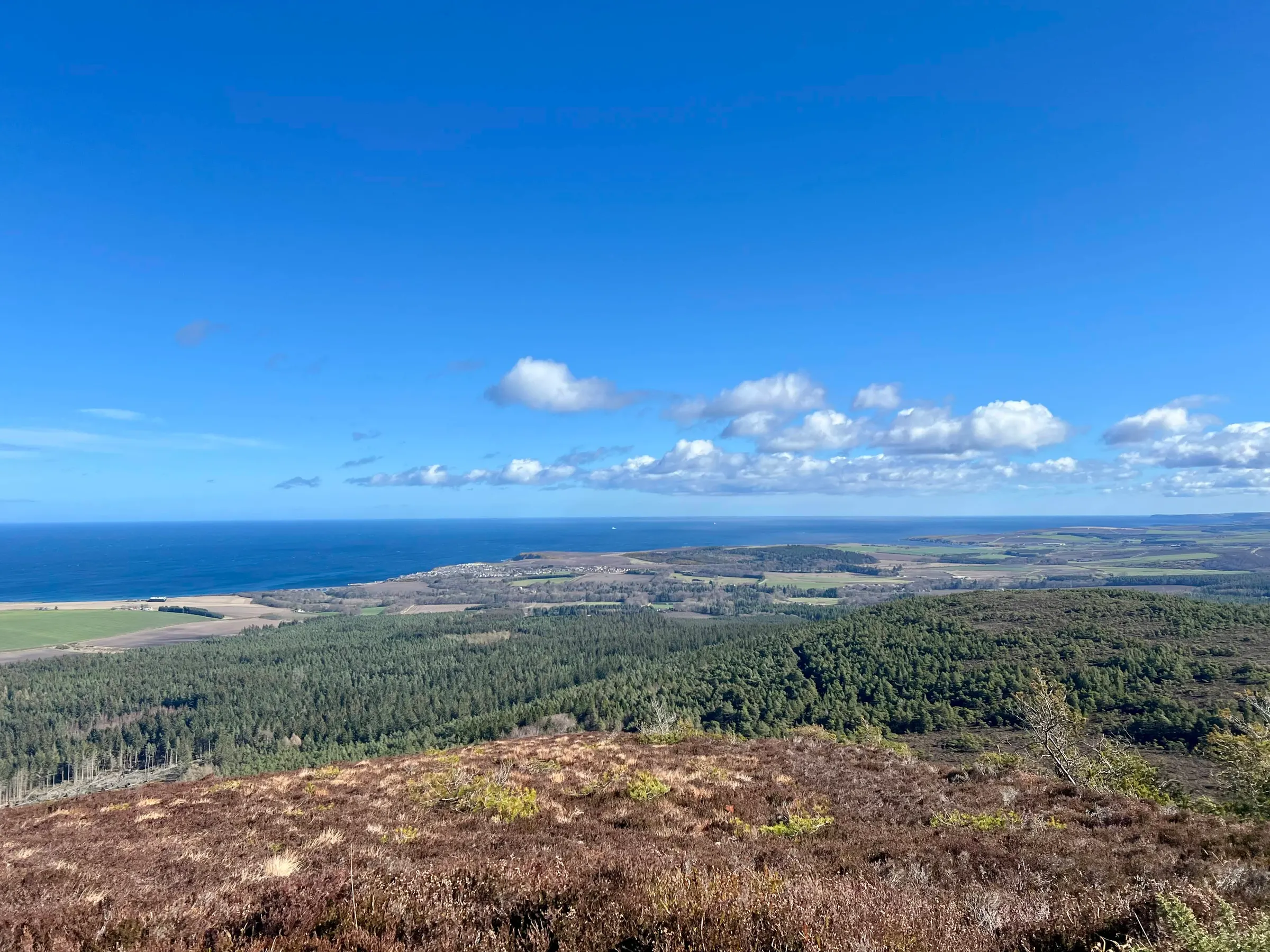
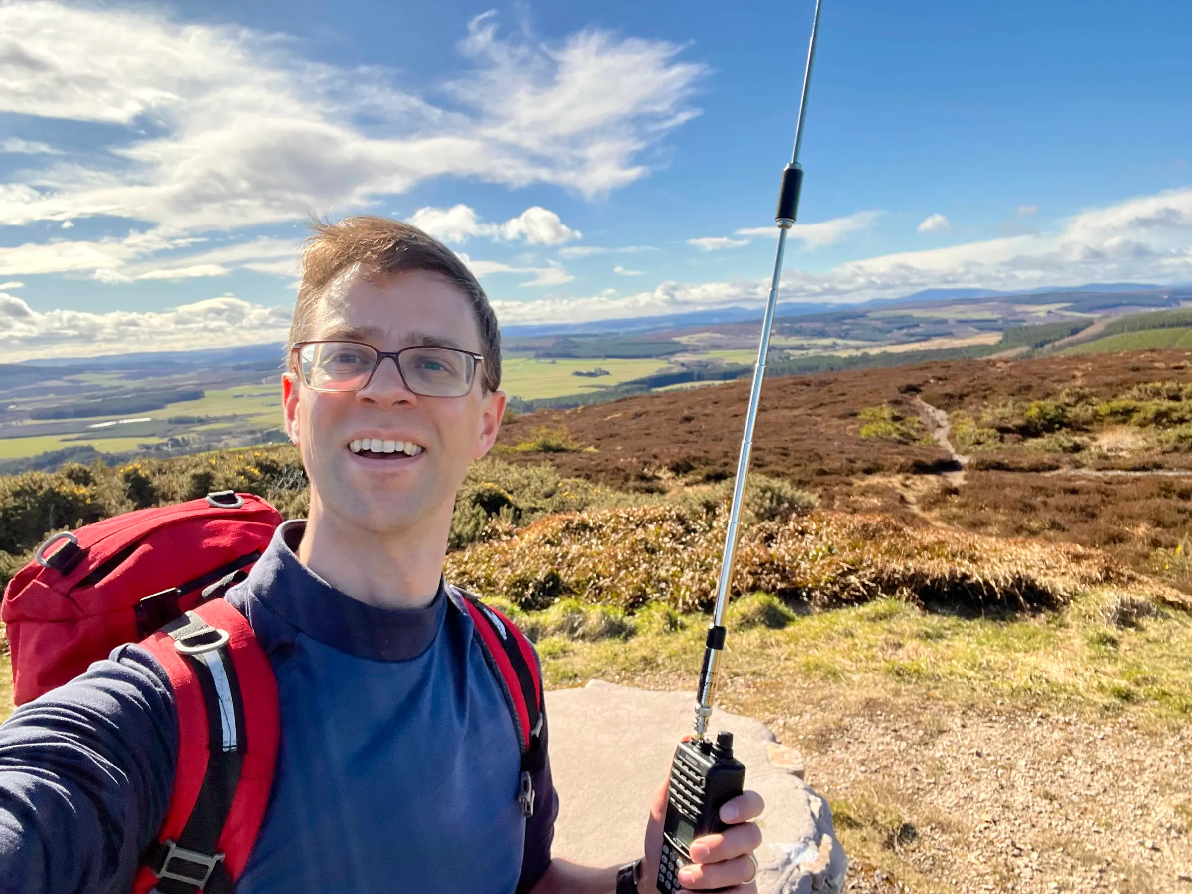
I went to the top, had a selfie, and my first summit to summit with Mike, 2M0WNA, on the Buck, but moved off the top to find some shelter to setup.
Some trees and hillside kept me sheltered from the worst of it, and I worked Chris, 2M0RVZ, on Meikle Balloch, Archie GM4KNU on Lochnagar, and a new SOTA activator, Jane, 2M0IZS on Lord Arthur’s Hill (recently inspired to try SOTA thanks to a presentation by Mike 2M0WNA at the Aberdeen club). Fraser was driving still, so a mobile 2m FM contact with him.
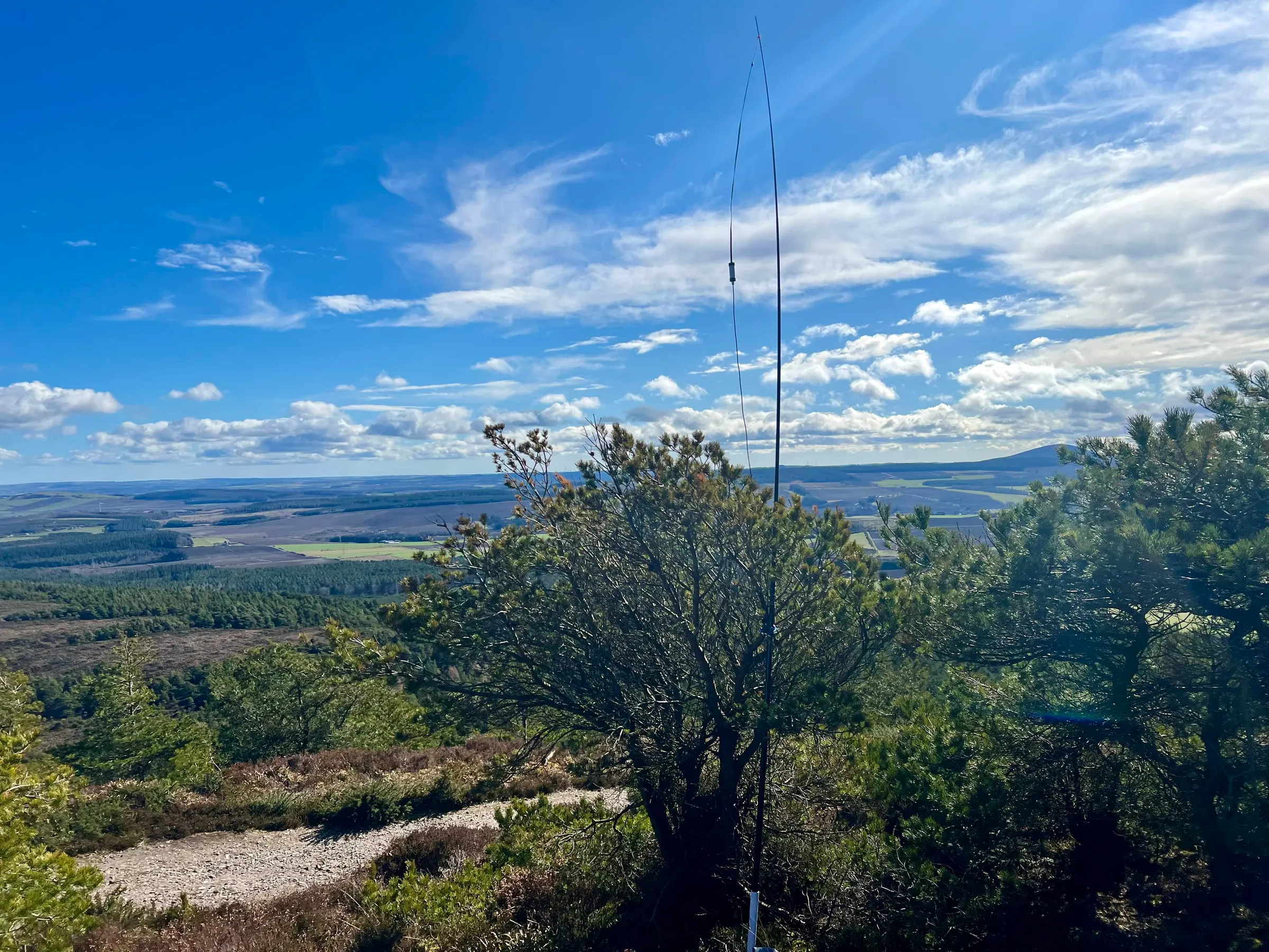
A chap walked by whilst I was setting up HF but he didn’t notice me, mostly had his head down due to the wind. He did wave hi on his way back down.
Simon, GM4JXP, was in The Canaries on EA8/GO-001, and was a booming 58 on 15m to me. I chased another activator in Poland, to end up with 6 S2Ss, before it was time to head over to the next summit.

Knock Hill
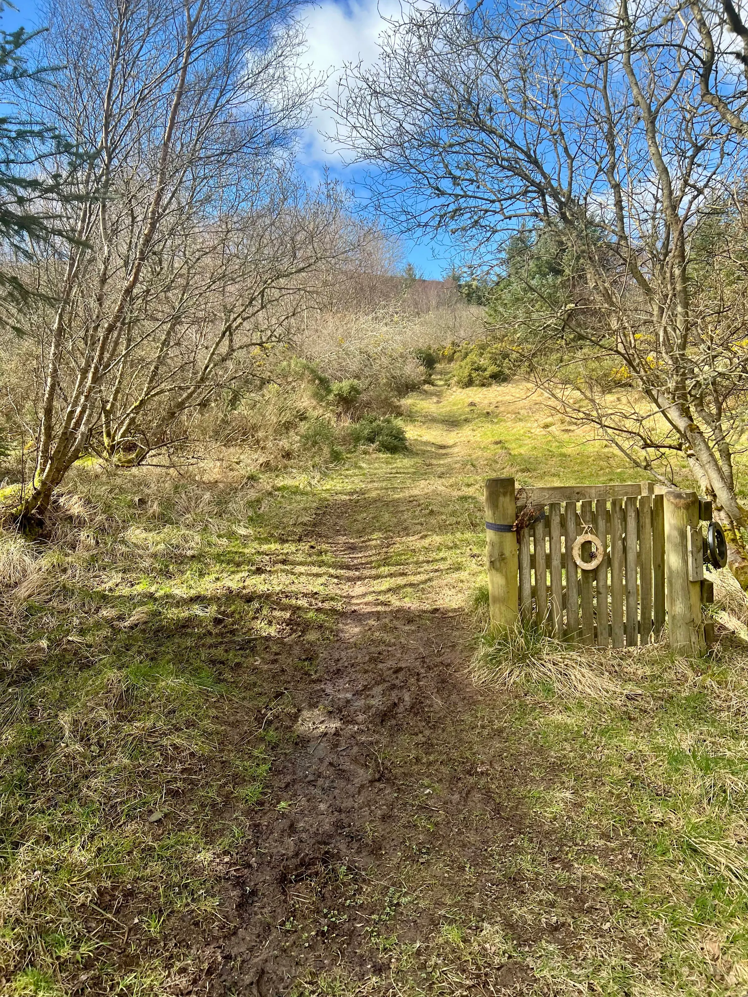
I was running a little behind schedule, but this next summit wasn't too far away and I thought I could get up it quickly enough. So a short drive later and I’m at the bottom of Knock Hill. It’s about a 230m vertical ascent over a short distance and it’s quite a slog when you’re trying to fit in time for tea, cake and banter in Huntly before school pick up back in Aberdeen.
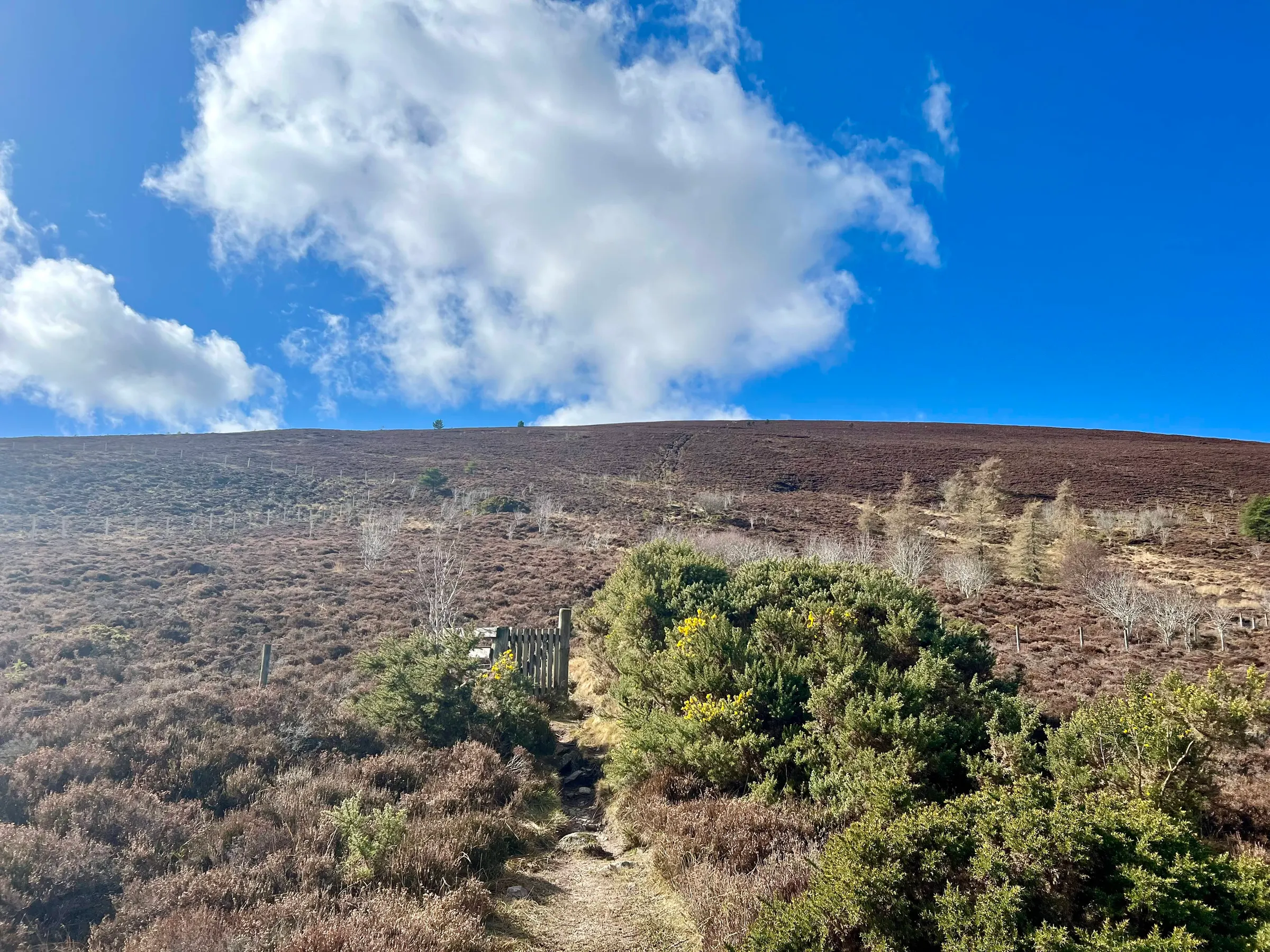
Not long until the summit but this one seemed to be even windier than the last. I admired all the summit features and then headed back to the new fence and tiny tree for setting up.
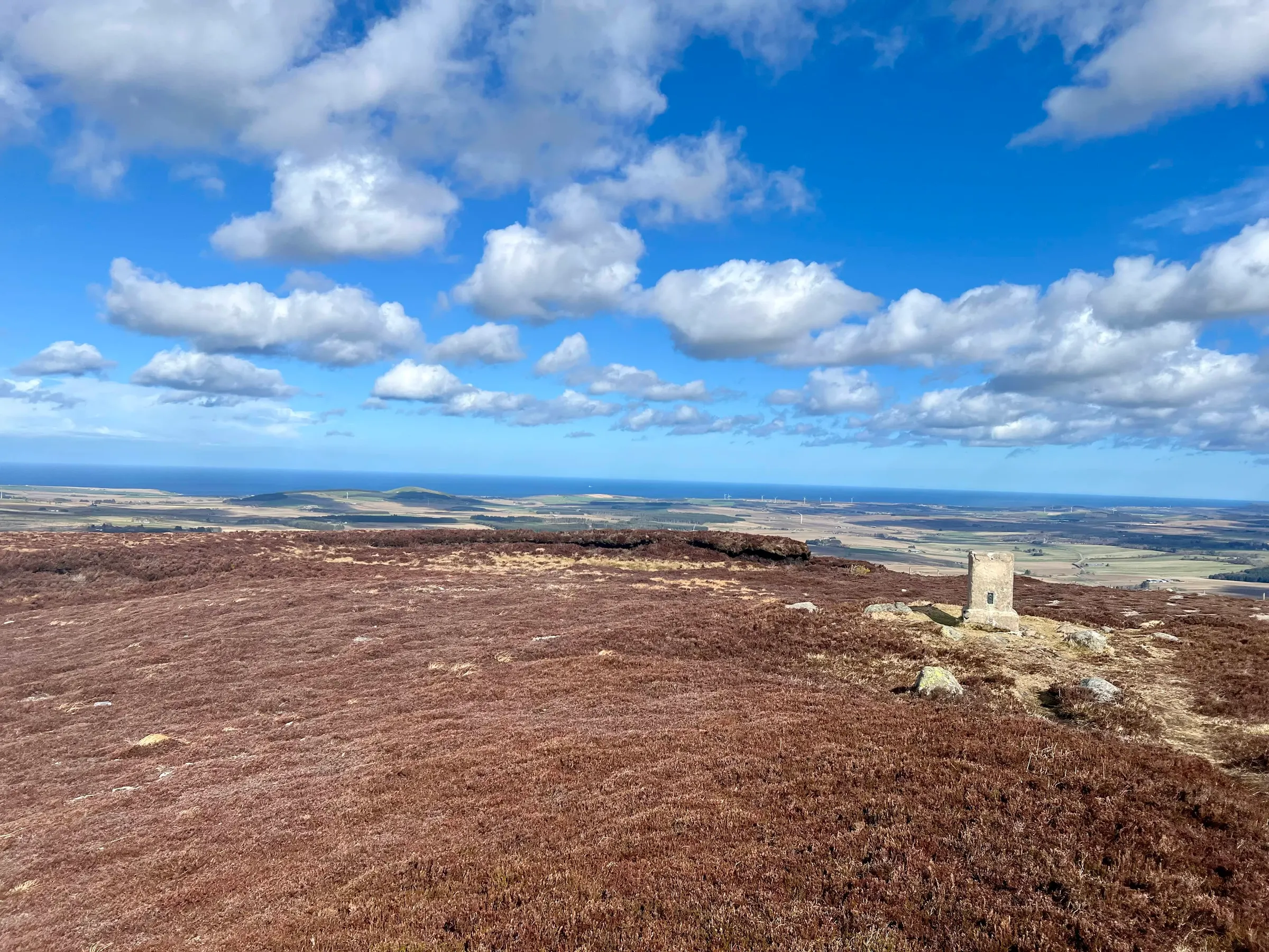
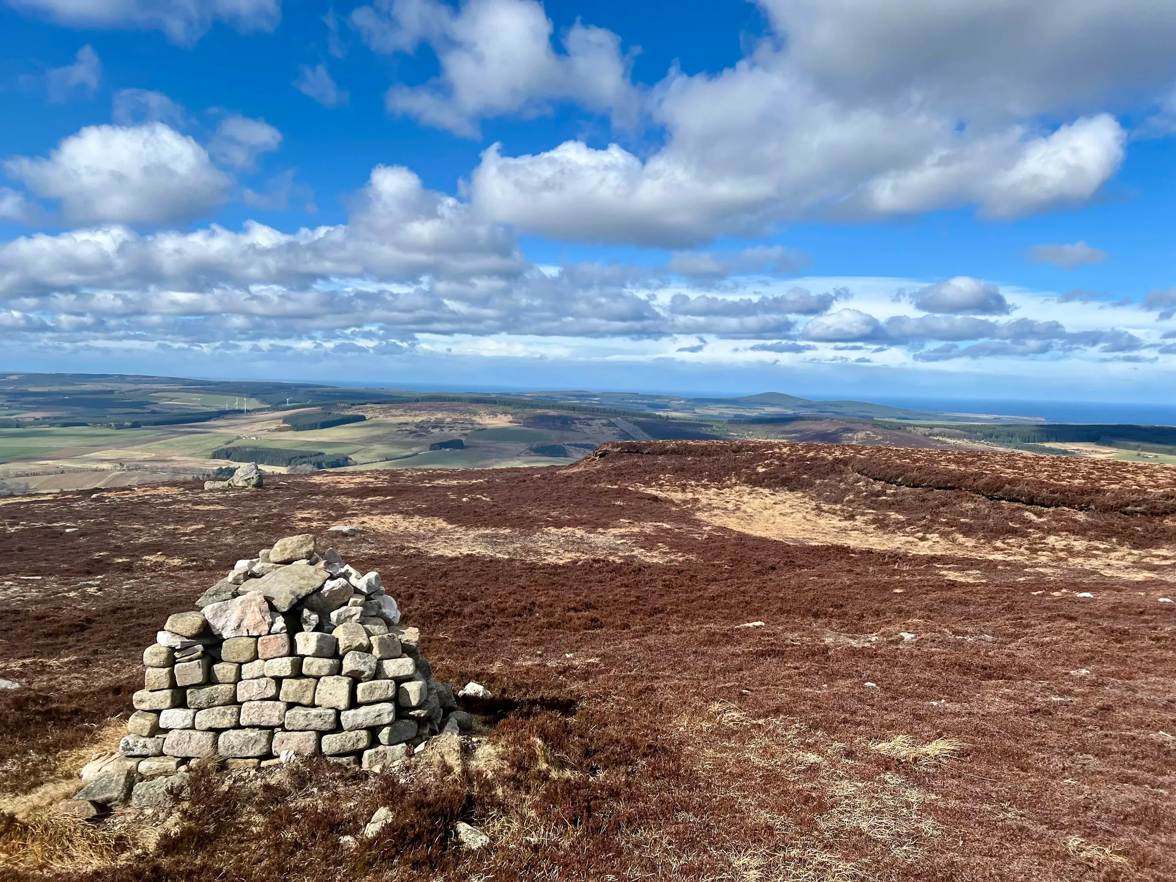

There are some peat hags on the top which look like a golf course bunker, and would provide some nice shelter, but there was nothing to mount the mast to.
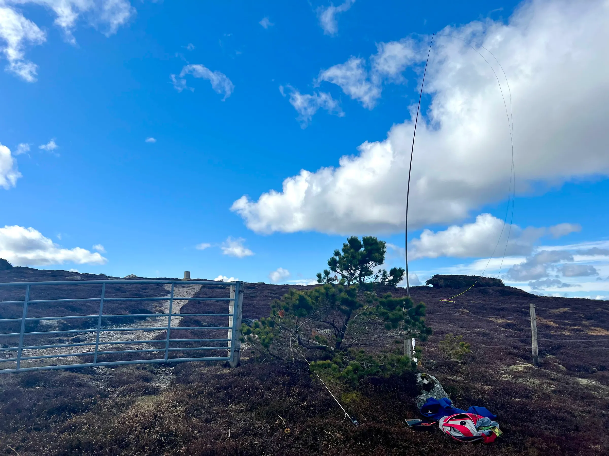
A quick round of everyone on 2m again, then it was time to chase Simon still on his summit. This time on 10m. Not quite as strong but still a clear 51 both ways. With enough in the log, and the tiny tree providing equally tiny shelter, it was time to head down and off to Dean’s for an enormous slab of malteser slice and tea.
We were so busy explaining igates, digipeaters and LoRa to Chris that we didn’t take photographic evidence of the cakes…at least not before I had to leave back to Aberdeen. To then run into a huge procession of bikers on the A90 doing 40 mph.
Lots of S2Ss, and four completes for me today! 🏔️ Only two points today but lots of fun! Just Ben Aigan left up this part of the region, and I've chased Chris on it, so another complete awaits!
On air
Route
Contacts
- GM/ES-084 8
- GM/ES-073 5
- 40m 1
- 20m 1
- 15m 2
- 10m 1
- 2m 8
Log
| From | UTC | Call | Band | Mode | Sent | Rcvd | km | Ref |
|---|---|---|---|---|---|---|---|---|
| GM/ES-084 | 10:55 | 2M0WNA/P | 2m | FM | 59 | 59 | 40 | GM/ES-039 |
| GM/ES-084 | 10:59 | 2M0RVZ/P | 2m | FM | 59 | 59 | 16 | GM/ES-082 |
| GM/ES-084 | 11:04 | 2M0IZS | 2m | FM | 55 | 56 | 44 | GM/ES-062 |
| GM/ES-084 | 11:07 | MM0EFI/M | 2m | FM | 55 | 44 | ||
| GM/ES-084 | 11:15 | EA8/G4JXP/P | 15m | SSB | 58 | 58 | 3,472 | EA8/GO-001 |
| GM/ES-084 | 11:19 | EA8DGS | 15m | SSB | 59 | 56 | 3,435 | |
| GM/ES-084 | 11:23 | SQ9BQW/P | 20m | SSB | 55 | 57 | 1,709 | SP/BZ-022 |
| GM/ES-084 | 11:26 | GM4KNU/P | 2m | FM | 59 | 59 | 79 | GM/ES-008 |
| GM/ES-073 | 12:43 | 2M0RVZ/P | 2m | FM | 59 | 59 | 9 | GM/ES-082 |
| GM/ES-073 | 12:43 | 2M0WNA | 2m | FM | 59 | 55 | 32 | |
| GM/ES-073 | 12:45 | MM0EFI/P | 2m | FM | 59 | 51 | 25 | GM/ES-079 |
| GM/ES-073 | 12:50 | EA8/G4JXP/P | 10m | SSB | 51 | 51 | 3,466 | EA8/GO-001 |
| GM/ES-073 | 12:55 | MW0CBC | 40m | SSB | 59 | 52 | 651 |