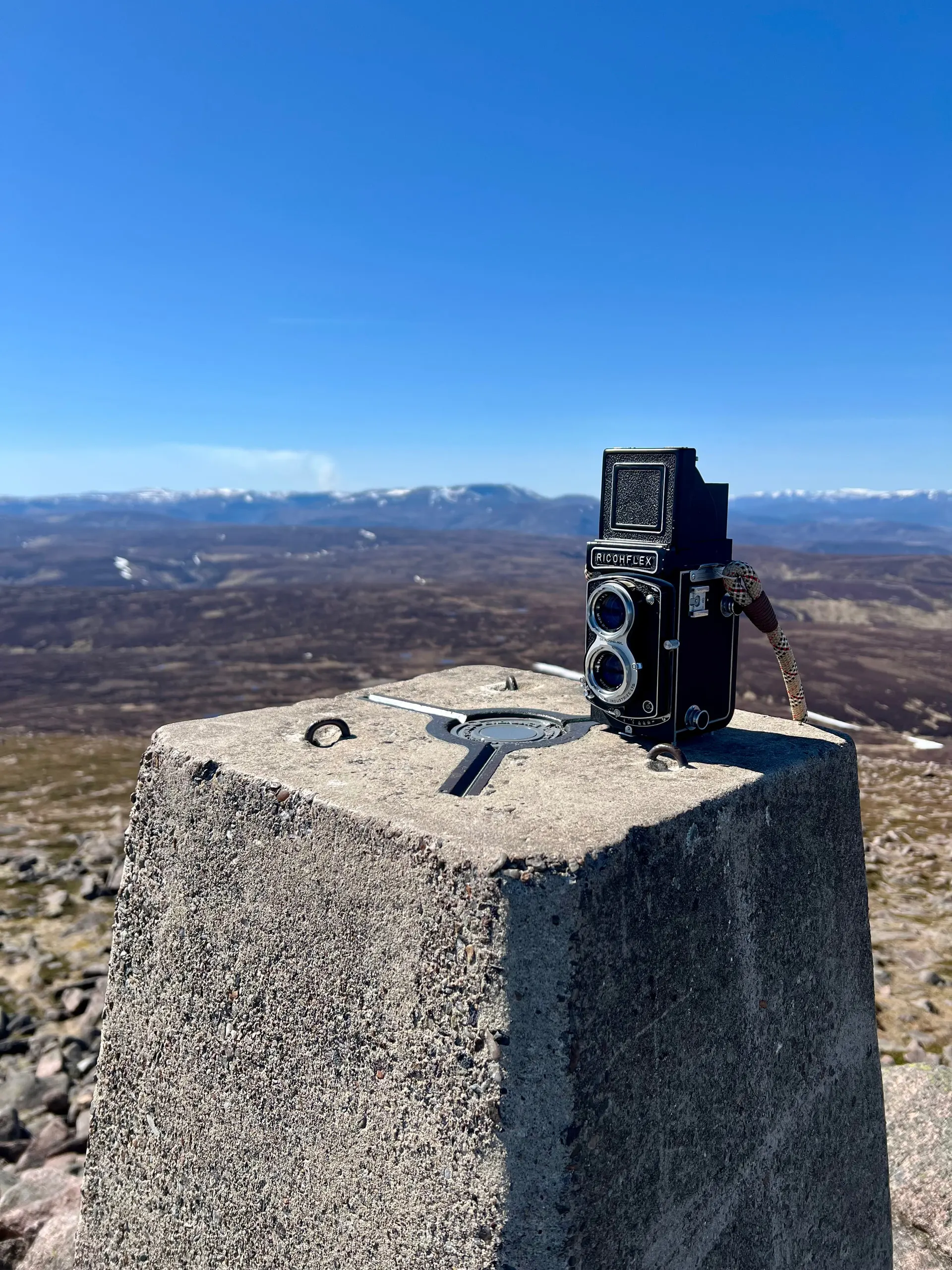
I took a TLR camera up a Mountain
- Height
- 939 m
- Points
- 6
- Distance
- 30.3 km
- Ascent
- 785 m
- Time
- 5h 41m
- QSOs
- 31
- Bands
- 40m20m17m2m
Inspired by a thread on the SOTA forums, I decided to take my Ricohflex TLR with my on a SOTA activation. It helped it was a lovely day, and I certainly wouldn’t have taken it if it was raining!
I found a roll of Kodak Gold 200 that I had in my film box in the garage. It was my only roll of 120 and was left over from when I bought some when Gold 120 came out in 2022 ish. It had expired, 2024, but not by that much and whilst not kept in a fridge, it has been in the garage, so not exactly warm.
As a bright day I was going to use sunny 16, but I also couldn’t resist using the lightmeter camera on my phone to see what to do. Ended up being about 1/250s and f/8 or 1/100s and f/11. The shutter seemed a little slow sounding, and I was concerned it didn’t have the correct timing. I had tested it at home before I left and it had seemed just fine. Anyway, I took my 12 shots and posted it off to Film Dev to get developed. They were the cheapest and most sensible place last time I developed some film, so just used them again, maybe there’s somewhere else but prices are fine. The scans just came back:
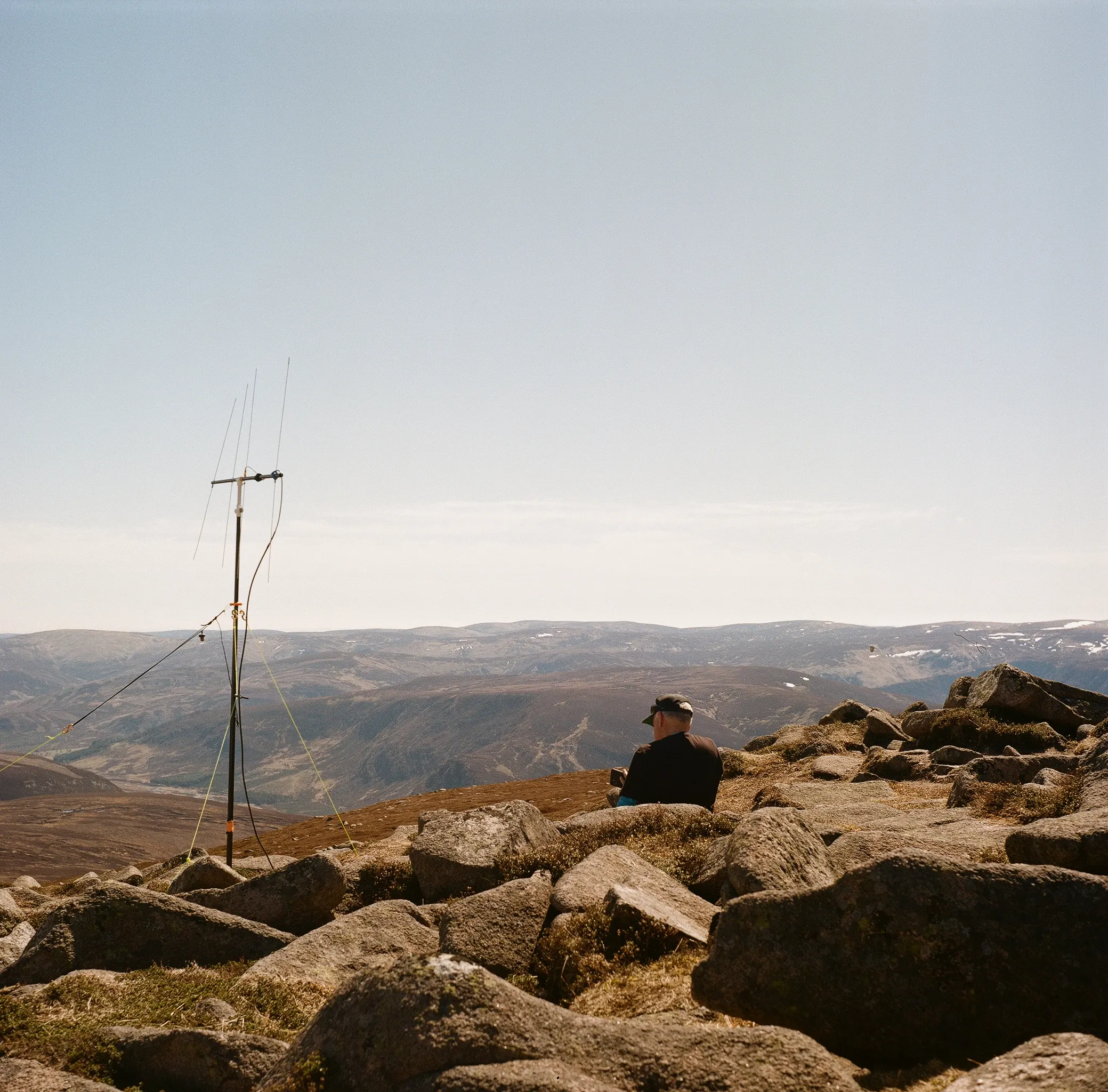
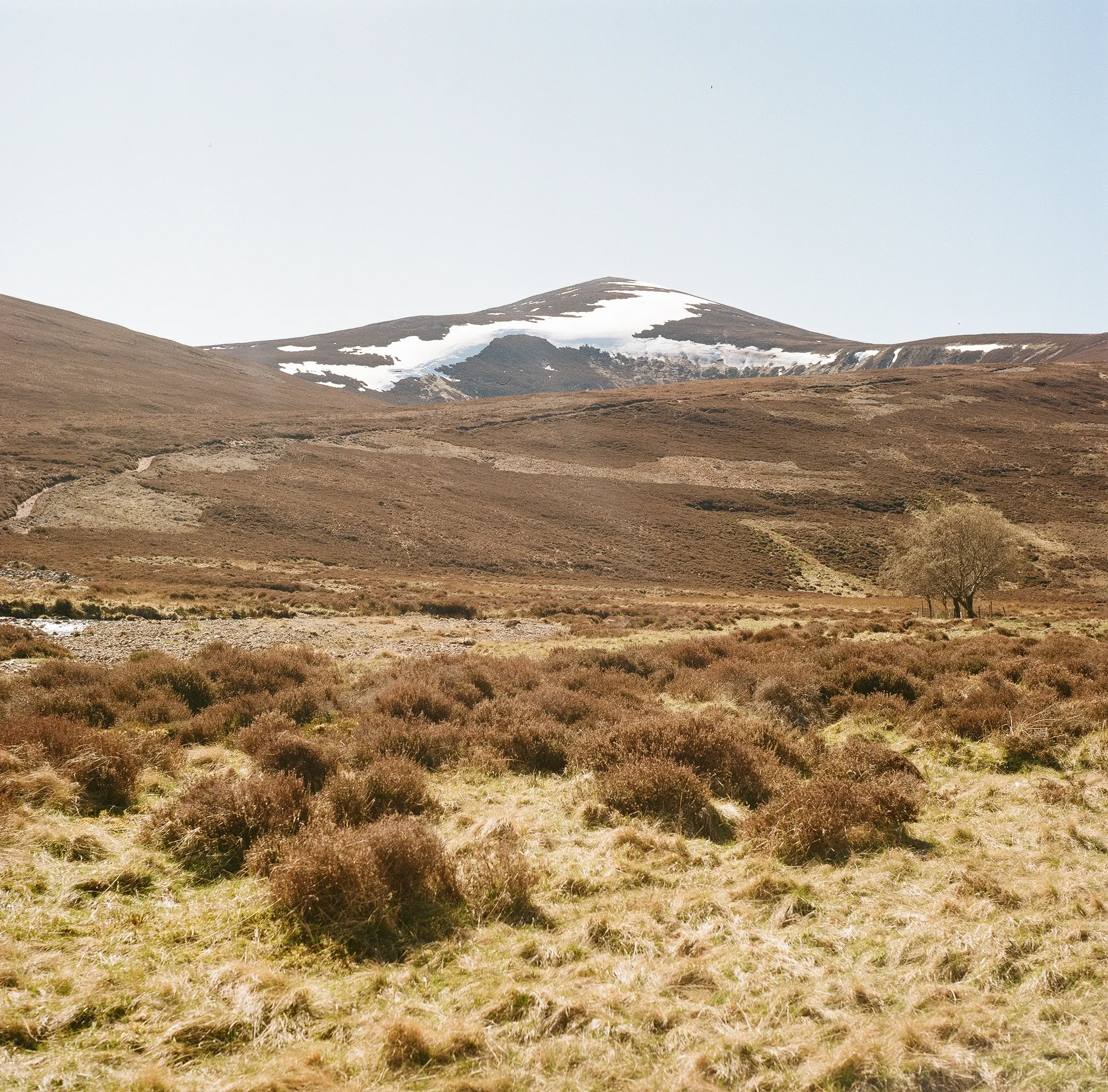
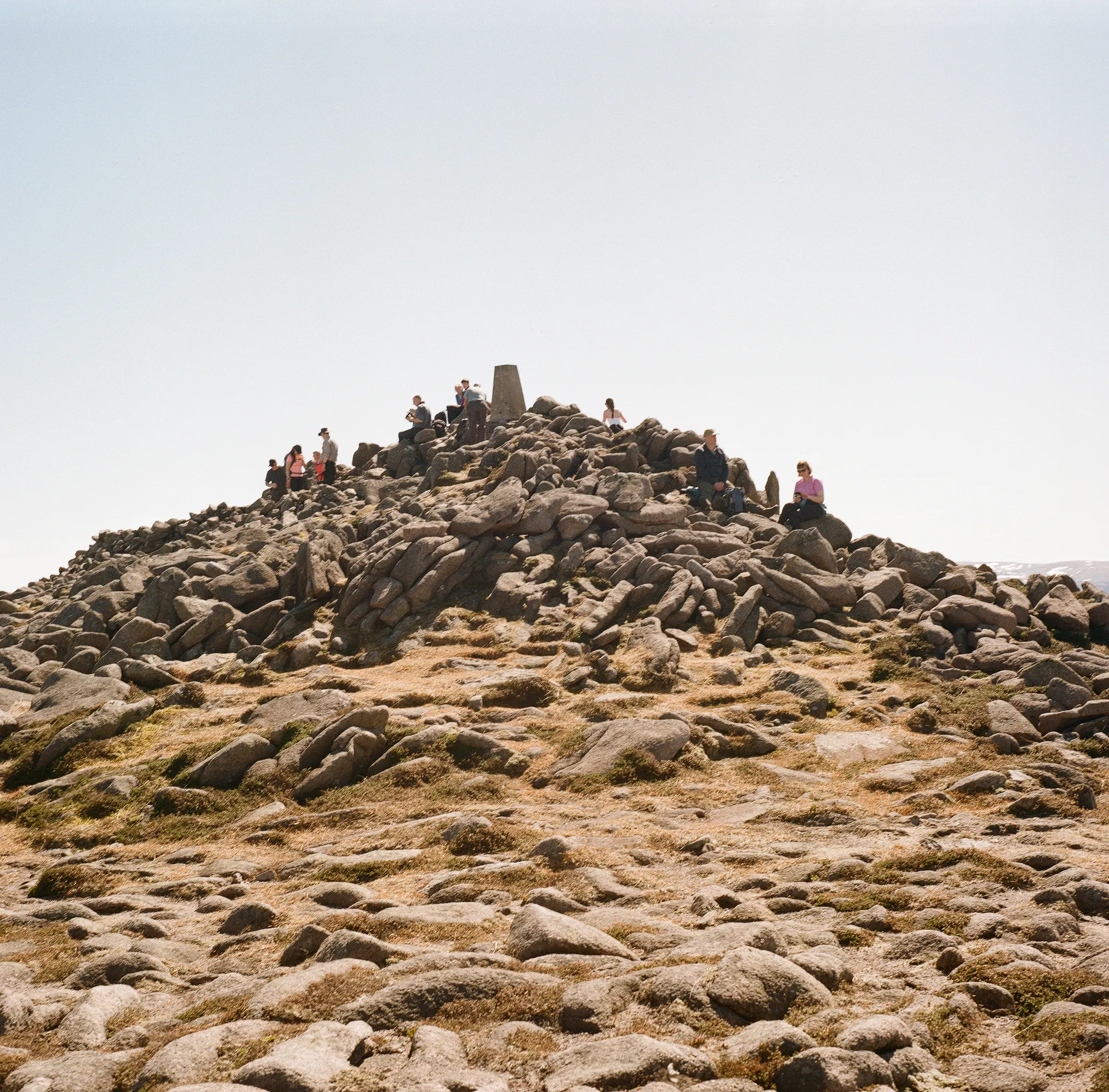
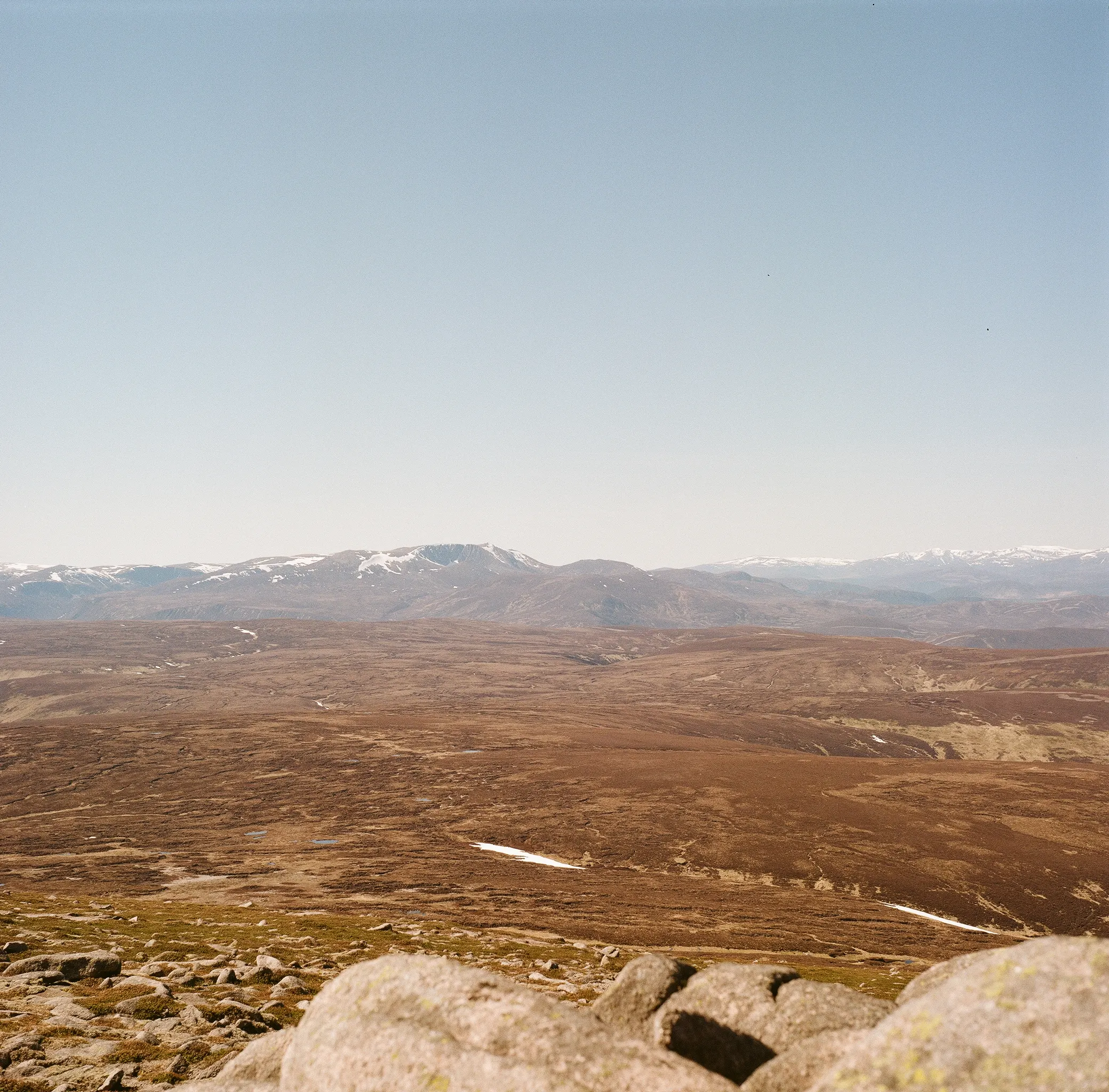
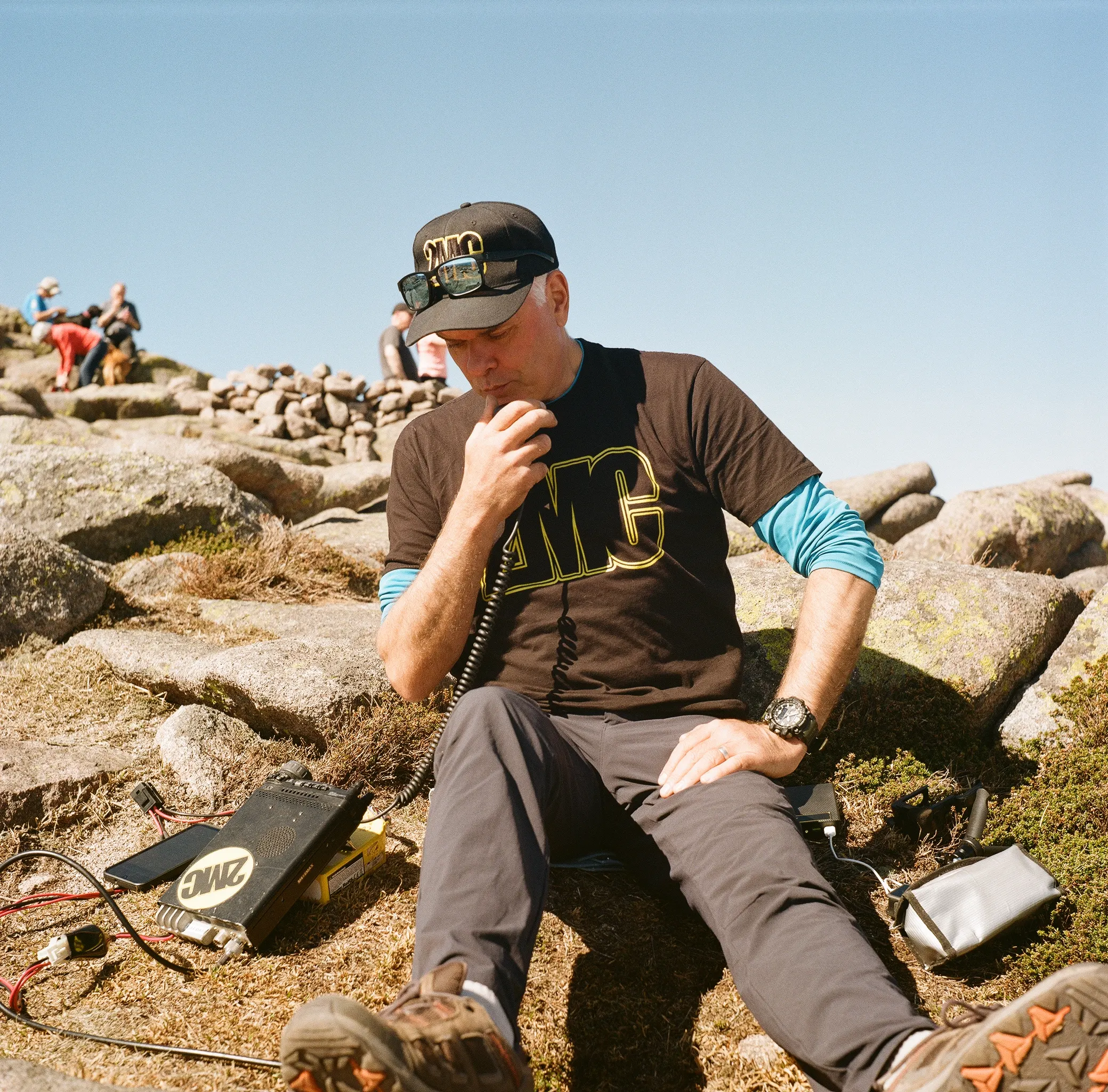
I’m very pleased with how they came out, and now it’s got me thinking about film again.
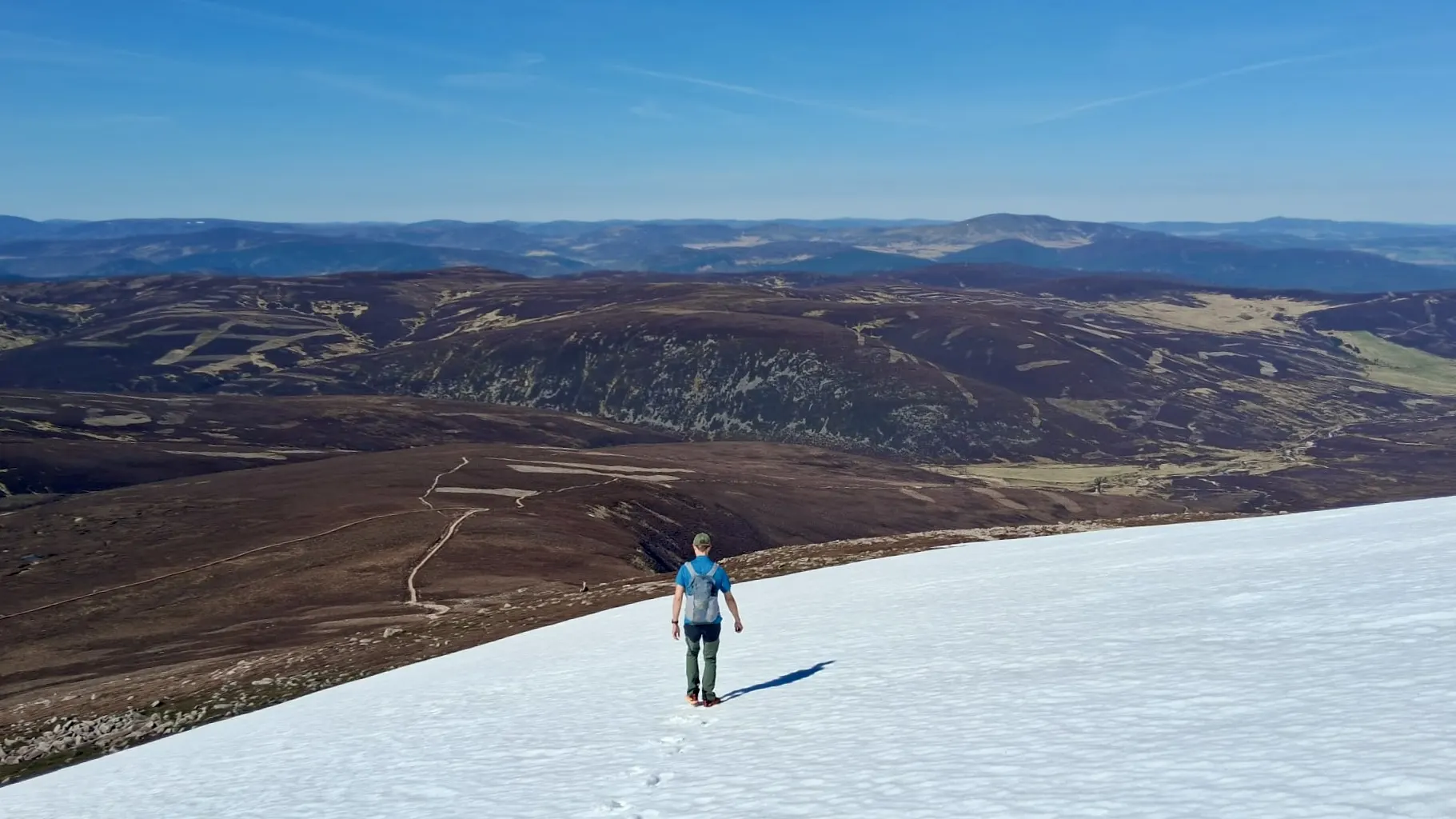
Even though it was nice and sunny, there was still some snow about.
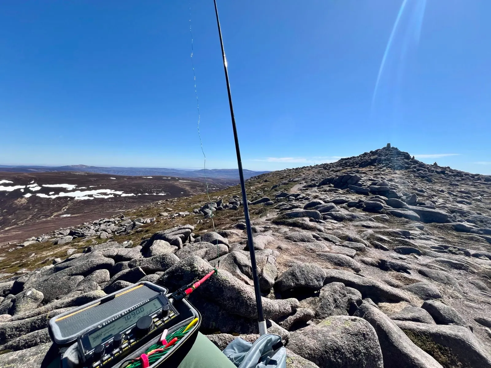
I was doing HF, and did work Canada and into Michigan - which I was pleased with. Fraser did well on 2m, and got into Denmark and Belgium on 2m FM, which is unusual.
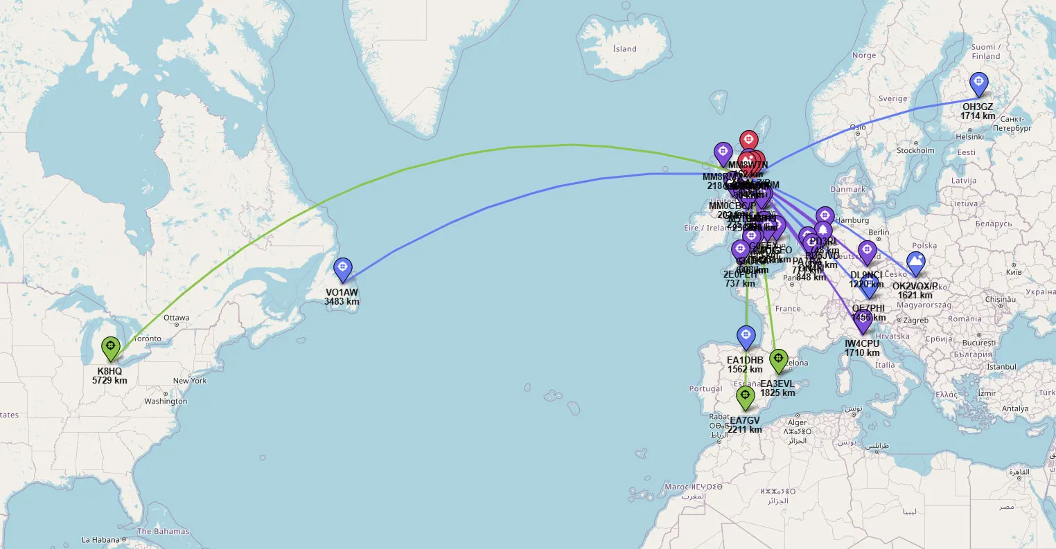
Also in Recent SOTA Outings.
On air
Route
Contacts
- 40m 19
- 20m 5
- 17m 3
- 2m 4
Log
| UTC | Call | Band | Mode | Sent | Rcvd | km | Ref |
|---|---|---|---|---|---|---|---|
| 11:56 | GM4KNU/P | 2m | FM | 59 | 59 | 29 | GM/CS-060 |
| 12:02 | GM4EMX/M | 2m | FM | 59 | 59 | ||
| 12:03 | GM4JXP | 2m | FM | 59 | 59 | 15 | |
| 12:04 | MM8WTN | 2m | FM | 51 | 55 | 163 | |
| 12:08 | M8HPI | 40m | SSB | 59 | 59 | 270 | GB-2236 |
| 12:09 | G0FEX | 40m | SSB | 59 | 58 | 494 | |
| 12:10 | G4FKA | 40m | SSB | 59 | 57 | 607 | |
| 12:10 | ON4FI | 40m | SSB | 59 | 55 | 847 | |
| 12:11 | G4OIG | 40m | SSB | 59 | 57 | 541 | |
| 12:11 | MM8RMV | 40m | SSB | 59 | 55 | 218 | |
| 12:12 | PA7RA | 40m | SSB | 52 | 55 | 771 | |
| 12:12 | DL9NCI | 40m | SSB | 57 | 54 | 1,220 | |
| 12:12 | GM0NCA | 40m | SSB | 59 | 57 | 234 | |
| 12:13 | PD3RL | 40m | SSB | 55 | 42 | 748 | |
| 12:13 | 2E0FEH | 40m | SSB | 55 | 44 | 735 | |
| 12:14 | M1GEO | 40m | SSB | 57 | 51 | 561 | |
| 12:15 | M5TEA/P | 40m | SSB | 57 | 59 | 255 | G/LD-054 |
| 12:16 | PD5JVD | 40m | SSB | 54 | 54 | 818 | NL-0056 |
| 12:17 | IW4CPU | 40m | SSB | 42 | 59 | 1,710 | |
| 12:18 | G5OLD | 40m | SSB | 59 | 55 | 615 | |
| 12:21 | G7UFO | 40m | SSB | 57 | 43 | 263 | |
| 12:22 | GM3ALZ/P | 40m | SSB | 57 | 57 | ||
| 12:26 | OH3GZ | 20m | SSB | 59 | 59 | 1,715 | |
| 12:27 | VO1AW | 20m | SSB | 55 | 55 | 3,482 | |
| 12:28 | OK2VOX/P | 20m | SSB | 55 | 43 | 1,621 | OK/ZL-020 |
| 12:29 | OE7PHI | 20m | SSB | 59 | 57 | 1,456 | |
| 12:29 | EA1DHB | 20m | SSB | 55 | 55 | 1,561 | |
| 12:36 | MM0CBC/P | 40m | SSB | 55 | 55 | 202 | GM/SI-006 |
| 12:39 | K8HQ | 17m | SSB | 55 | 55 | 5,729 | |
| 12:40 | EA7GV | 17m | SSB | 57 | 52 | 2,209 | |
| 12:40 | EA3EVL | 17m | SSB | 52 | 55 | 1,824 |