Ben Avon - Leabaidh an Daimh Bhuidhe & Beinn a'Bhuird - North Top
GM/ES-006GM/ES-004 GB-0835GB-3004GB-0836GB-0939
- Summits
- 2
- Parks
- 4
- QSOs
- 11
- Bands
- 20m2m
Ben Avon
After a lovely Lochnagar trip the other week (with the now amusing subtitle of windy munro), I was keen to do some more high summits before the weather got worse and the darkness set in. Although turns out the weather is already worse! It’s school holidays here, so with no family schedule constraints, I could go out for the whole day, and I decided to try these two big uns - Ben Avon and Beinn A'Bhuird, pronounced Ben Ann and Ben a Vour respectively.
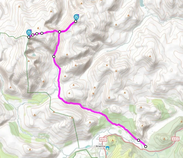
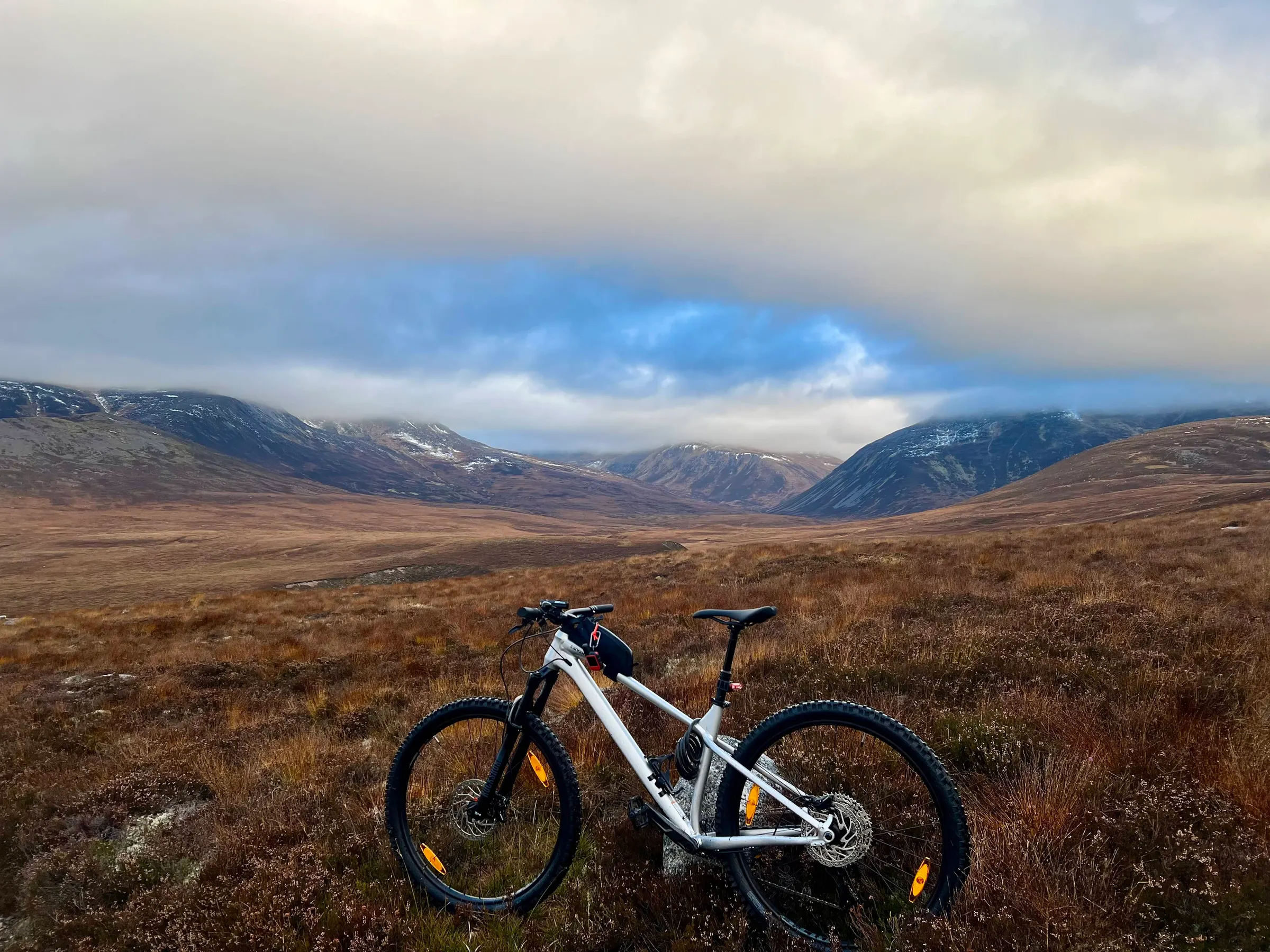
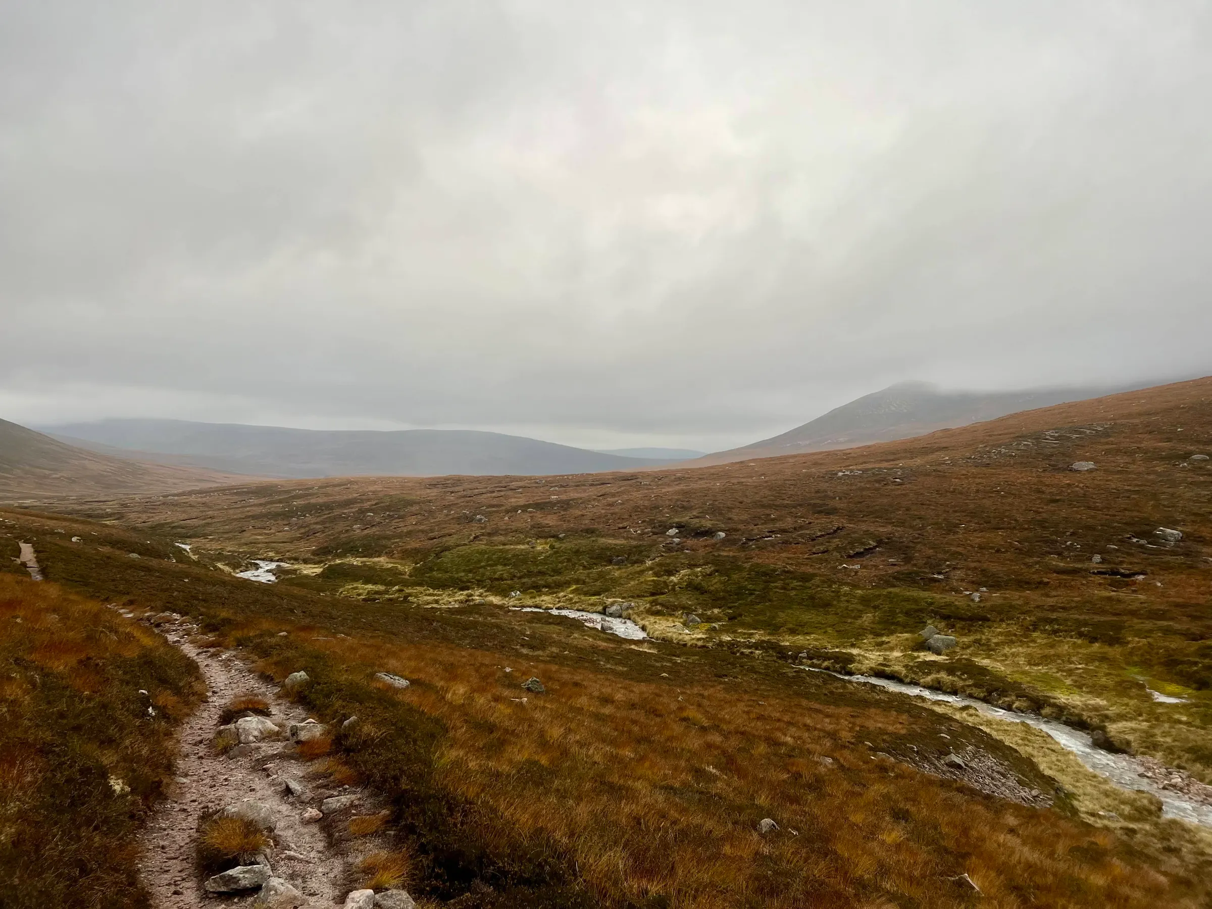
The route is pretty standard for these two, parking at Keiloch, paying the £3.50, then cycling, before hiking. I decided to bike as far as I could towards The Sneck (the T junction between the two summits at 986m), and just retrace my steps from Beinn a’Bhuird back. This is instead of doing the loop where you walk from Beinn a'Bhuird North Top (the full summit name) to South Top across the plateau, then down the side and meet the path again after crossing Quoich Water. As I could see the low cloud I thought I’d rather not be walking that route for the first time, and just retrace my steps. Although given my “retracing” aka wildly veering route, and the completely indistinguishable terrain, it probably didn’t matter. It also meant more cycling on the way in, which helped my timing, for a chance of a good summit to summit with Fraser, MM0EFI, on Mull.
The route in has a few parallel paths, including the Fairy Glen, and I’m not sure I took the best ones, and had to push the bike up some steep rocky parts in places. I tried the other way on the way back and it wasn’t much better, and then I missed the turn and went through the Fairy Glen - although didn’t see the secret howff (a hidden bothy), but also didn’t look very hard as I wanted to get back.
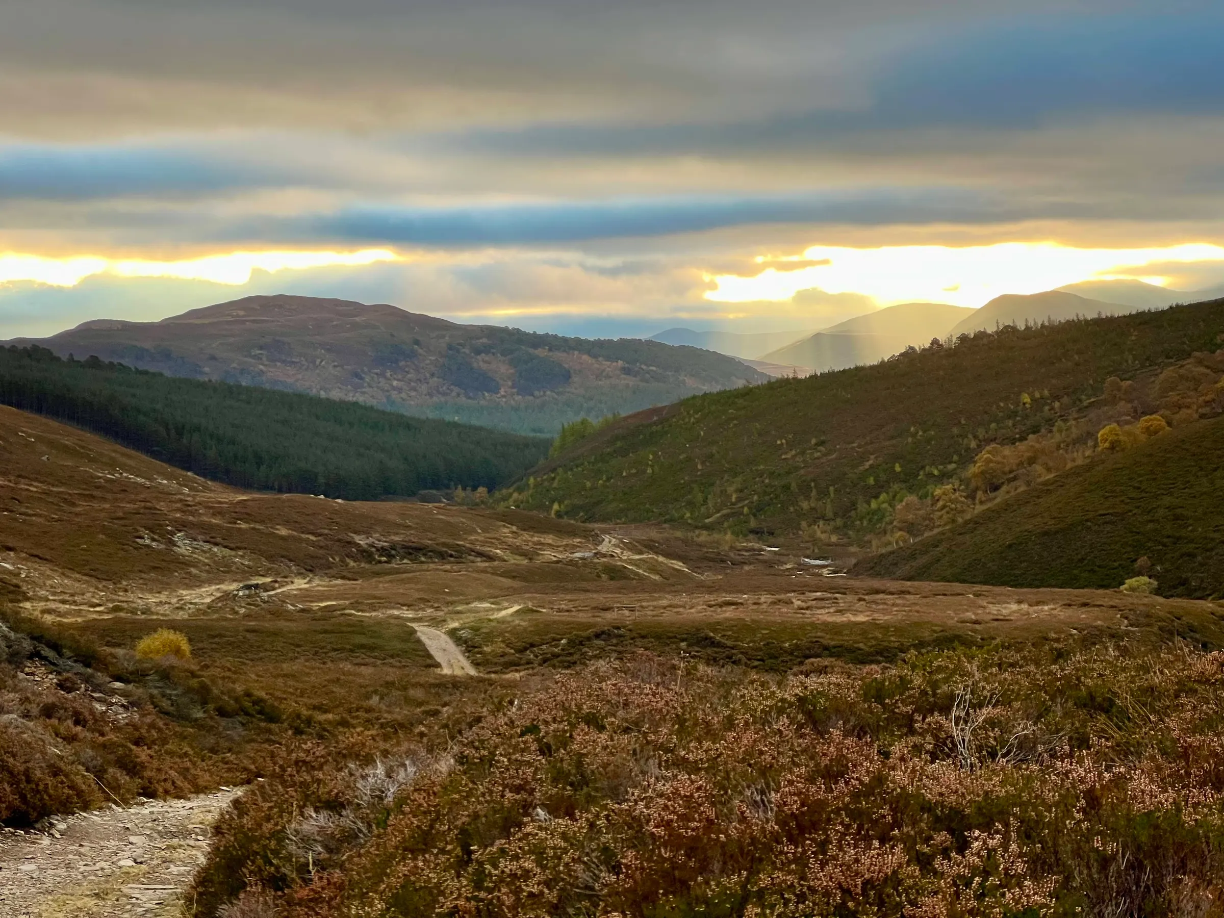
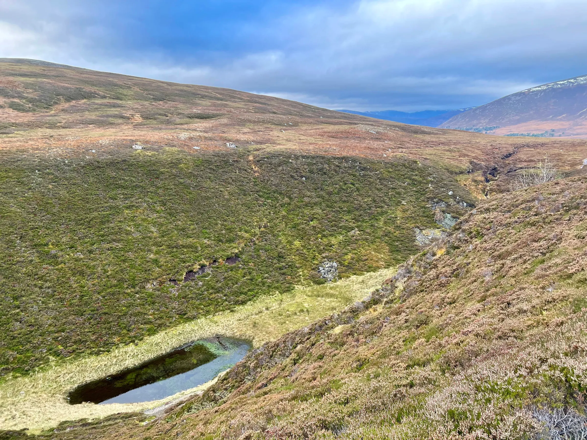
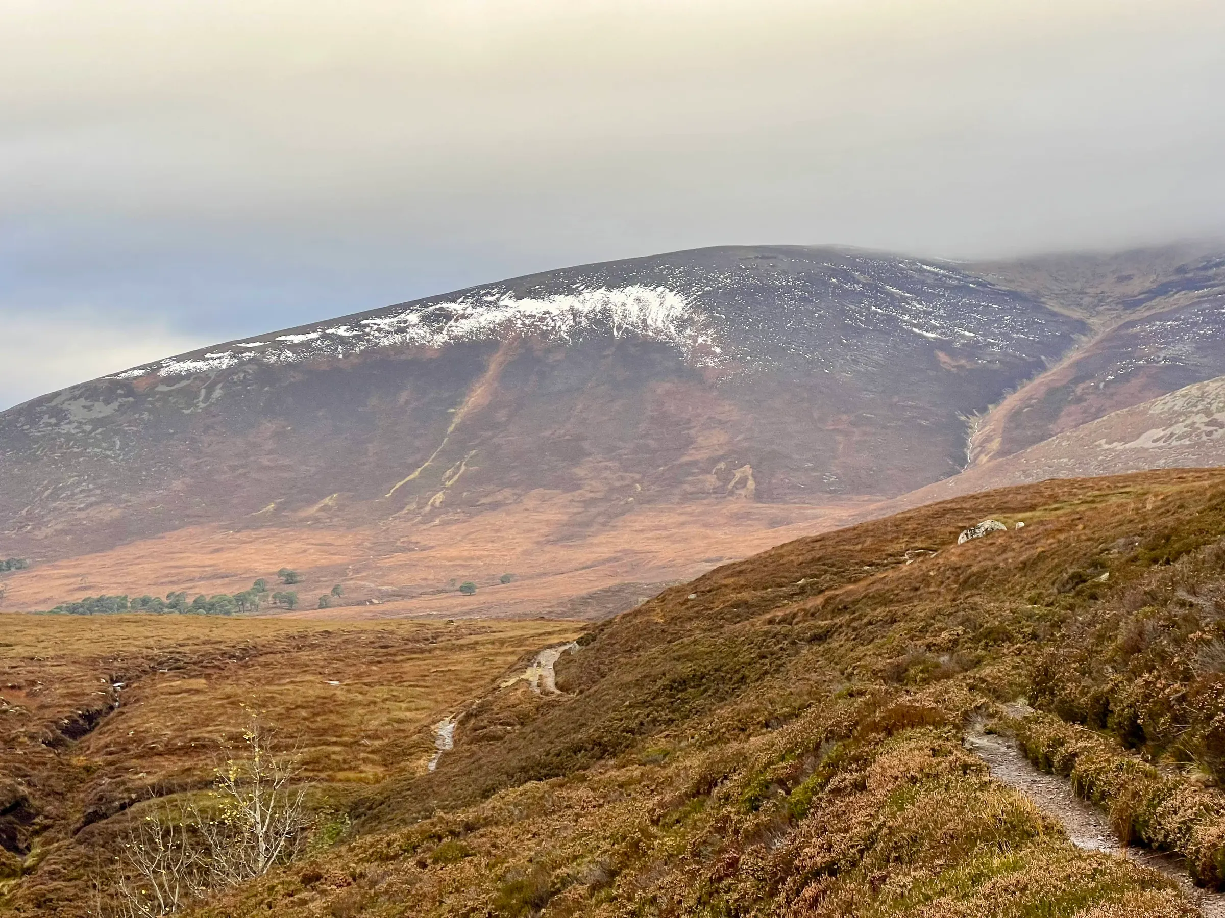
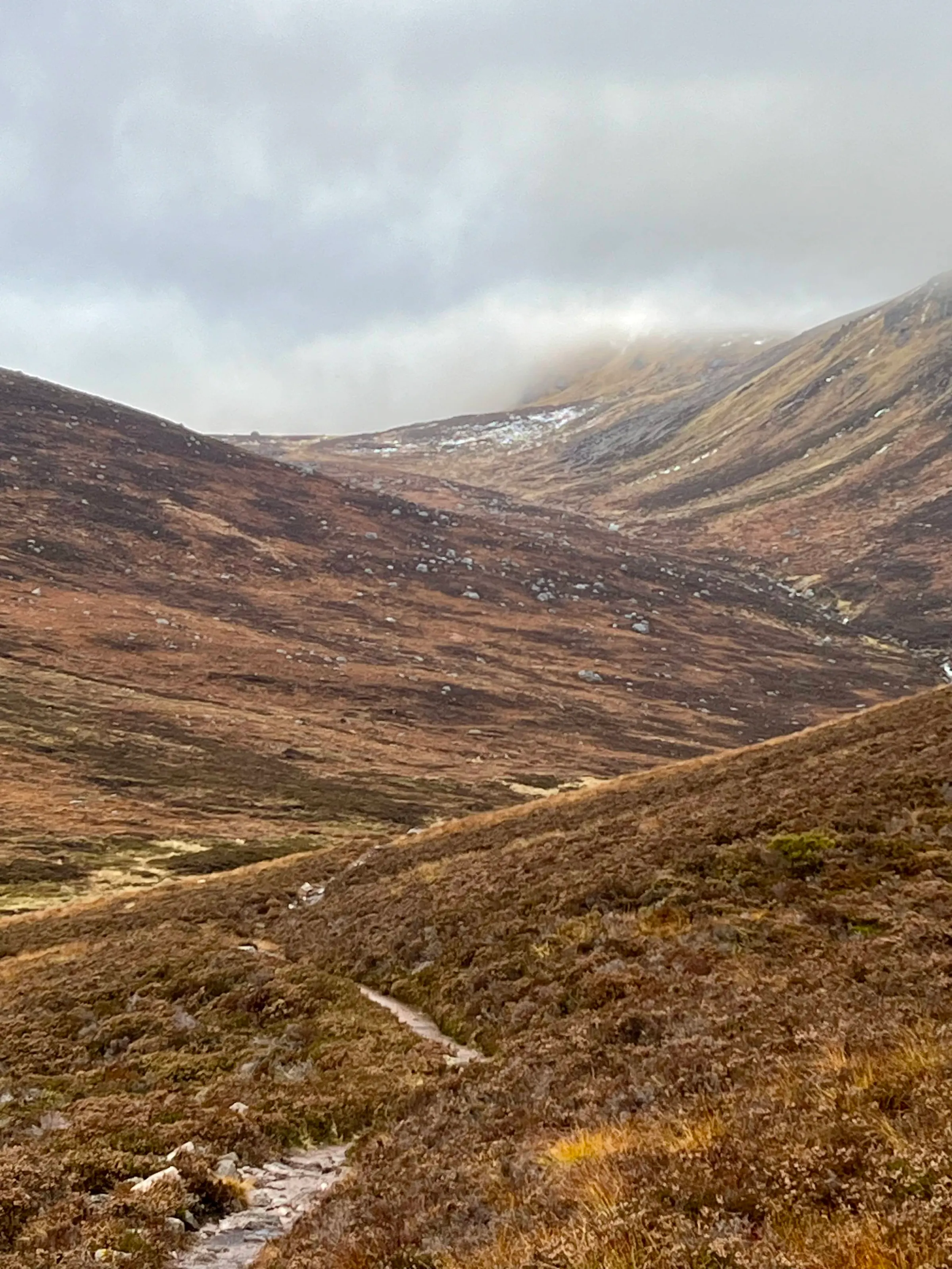
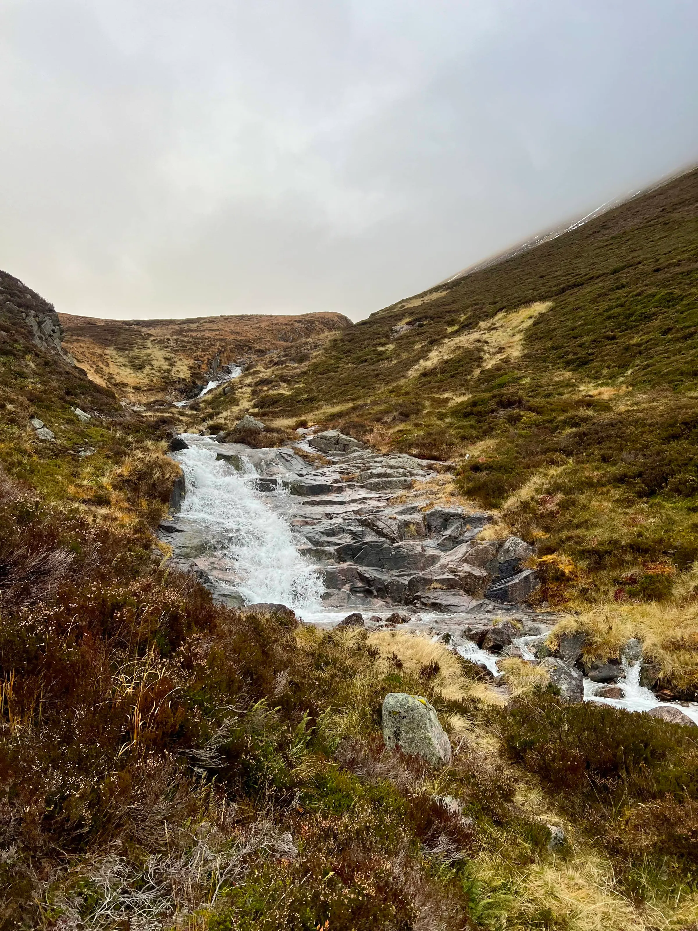
The weather was reasonable in the morning, patches of sun between the clouds and fairly mild for 8am. The forecast had the summits in cloud with strong winds, 30-40 mph with gusts of 50 mph. However, until I got to The Sneck, there was minimal wind, but boy, once I did! 🌬️ It was absolutely relentless, with my hood acting like a reed in a trumpet with an enthusiastic player. I gave the edge a wide berth, not trusting myself if there was a sudden gust that I wasn’t braced for. Snow was minimal on the way to the Ben Avon summit, with just small pockets that resisted being blown away.
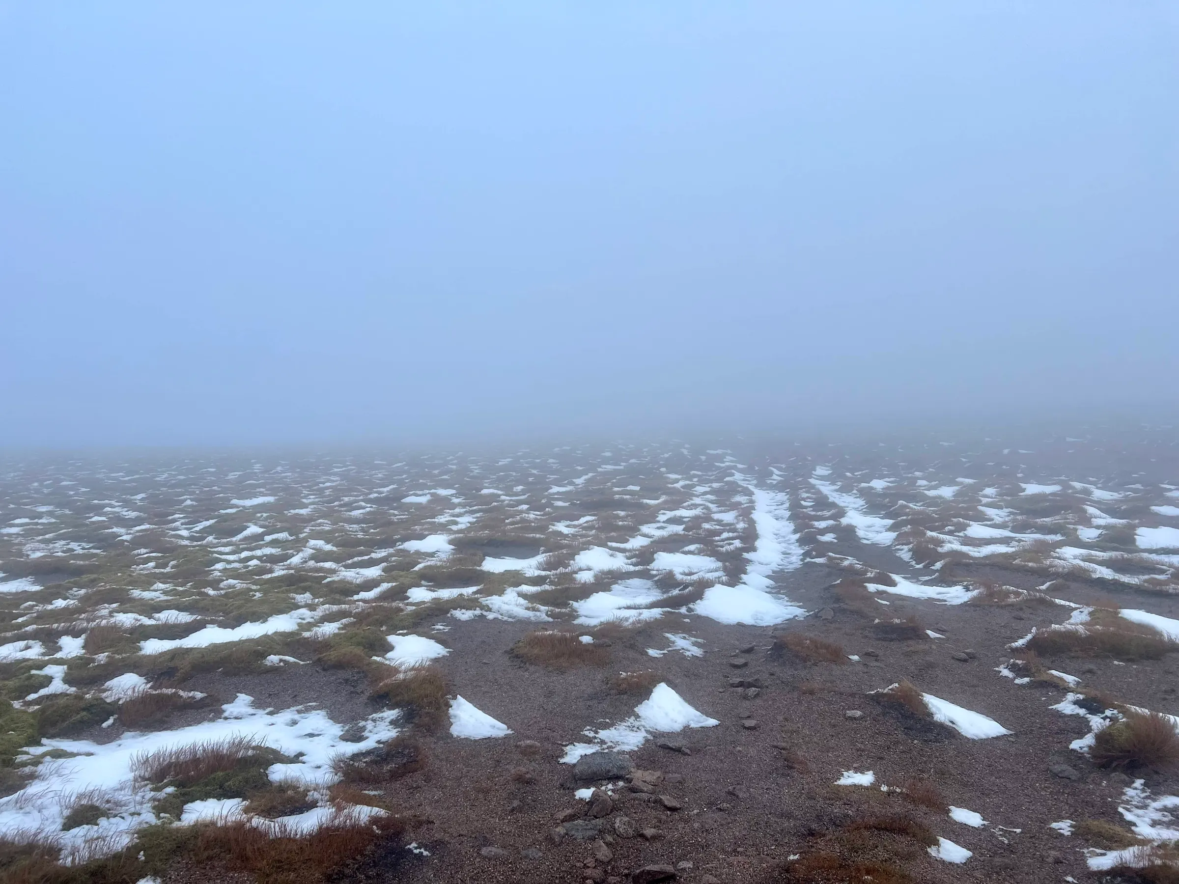
Out of the mist the tor emerges and I have arrived! Peaking through the rock formation - which acted like the mouth piece of the trumpet - revealed more snow on that side.
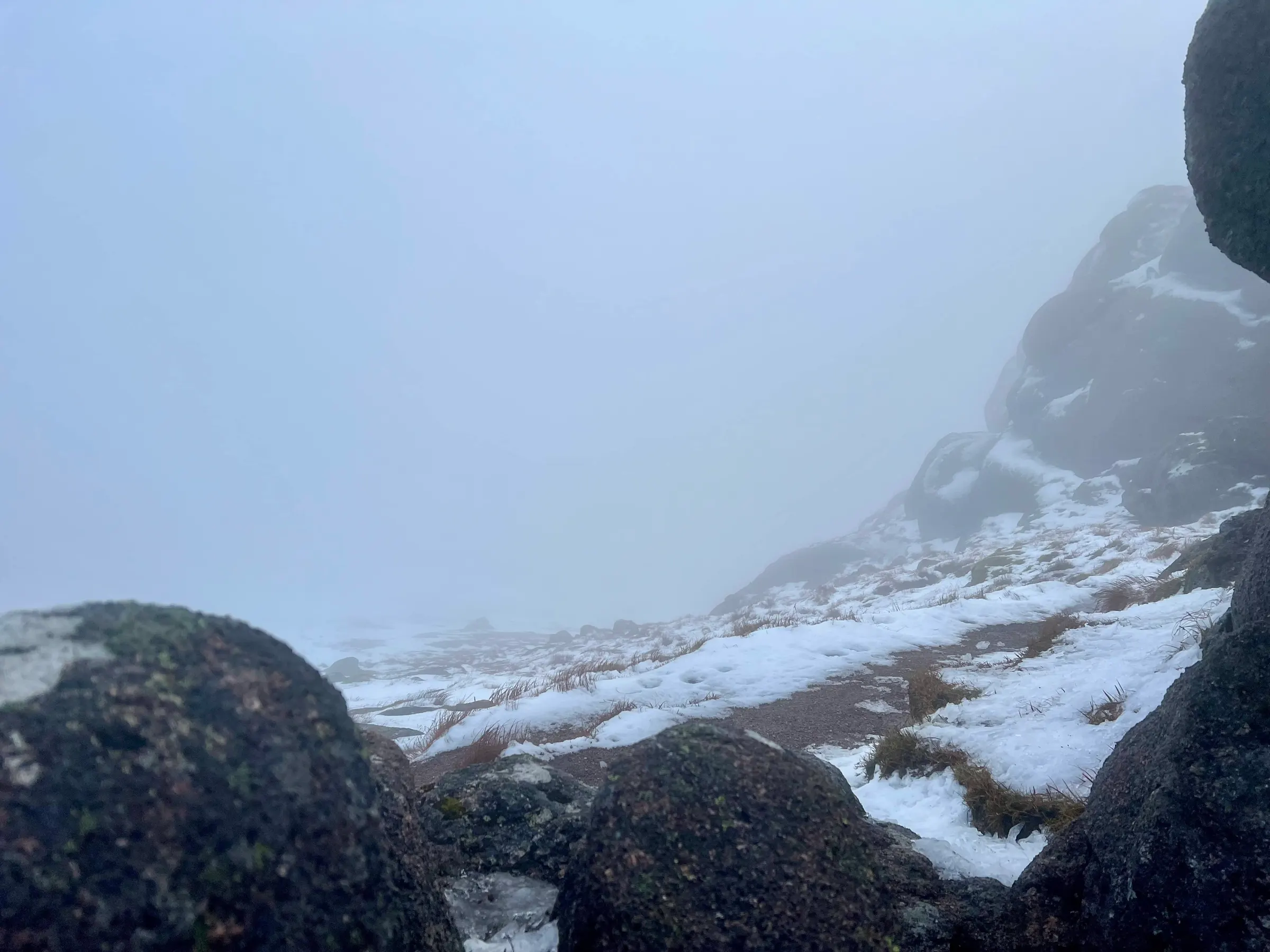
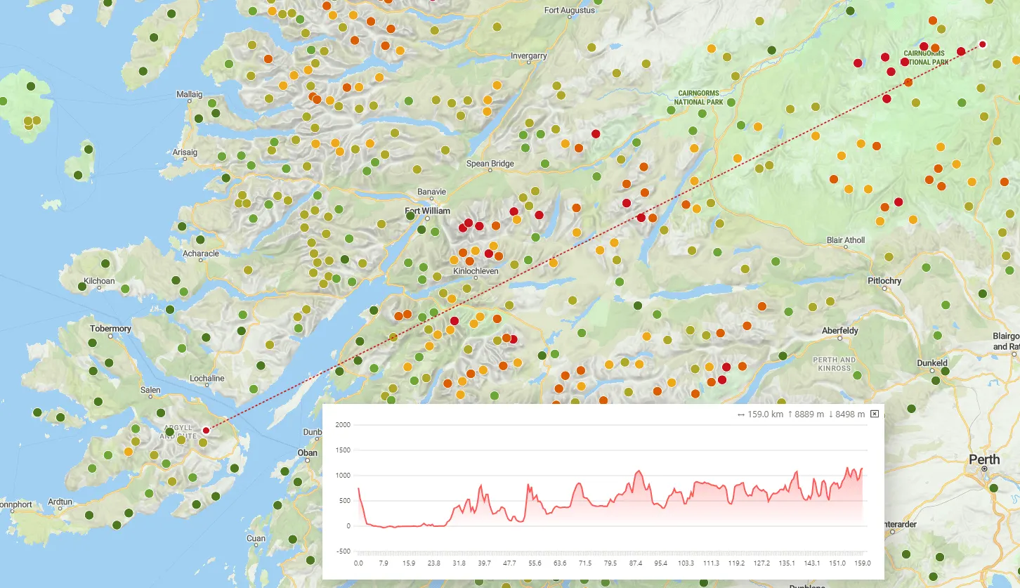
I found a nice rock to hide behind and setup the slim G on the carbon mast. My last activation on Carn a’Gheoidh, suffered a lot from the mast bending too much in the wind and the antenna sliding off. Up until this point, I’d forgotten about this and so hadn’t prepared anything else. Luckily the slight sheltering seem to keep the antenna on and I managed to make my QSOs. The most exciting was a summit to summit with Fraser, MM0EFI, who’s on Mull and was up GM/SI-016, 100 miles away. We were both on HTs and slim G antenna!
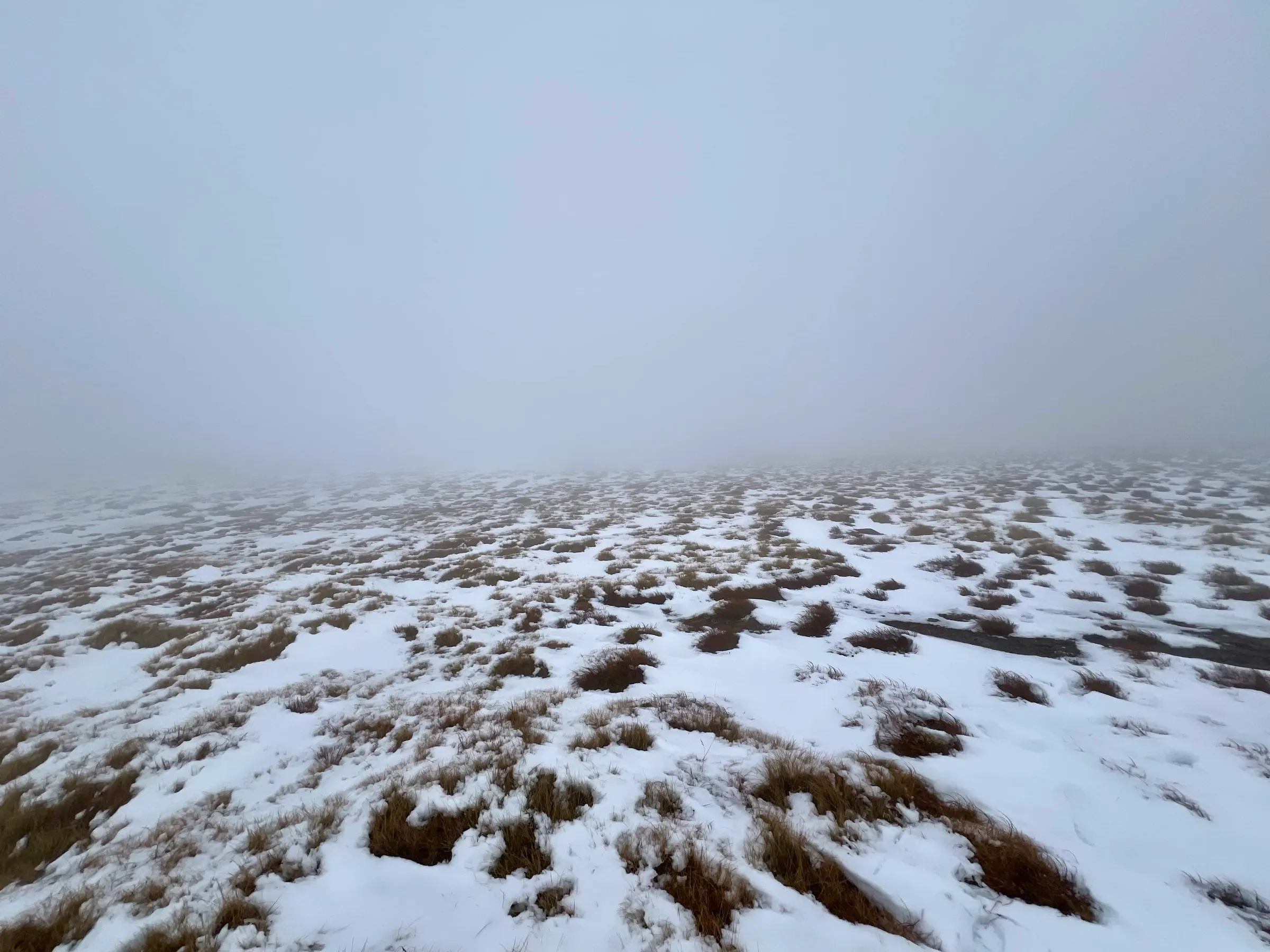
Off to the next summit! The walk was barren, non-identifiable and had much more snow, oh, plus the wind continued.
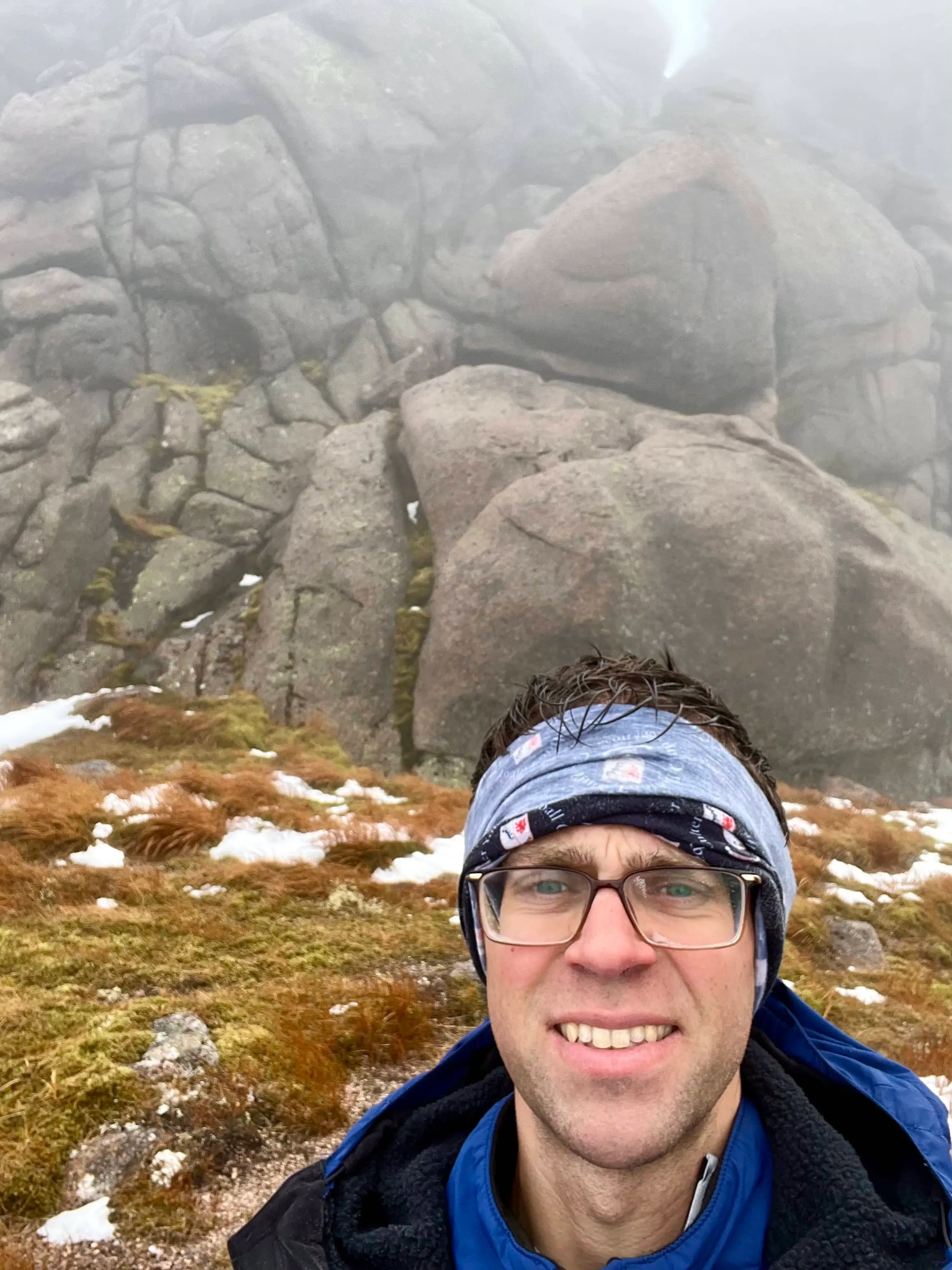
Beinn a'Bhuird - North Top
After activating Ben Avon, and a brief stop for some food, it was time to head back to The Sneck and then up to Beinn a'Bhuird.
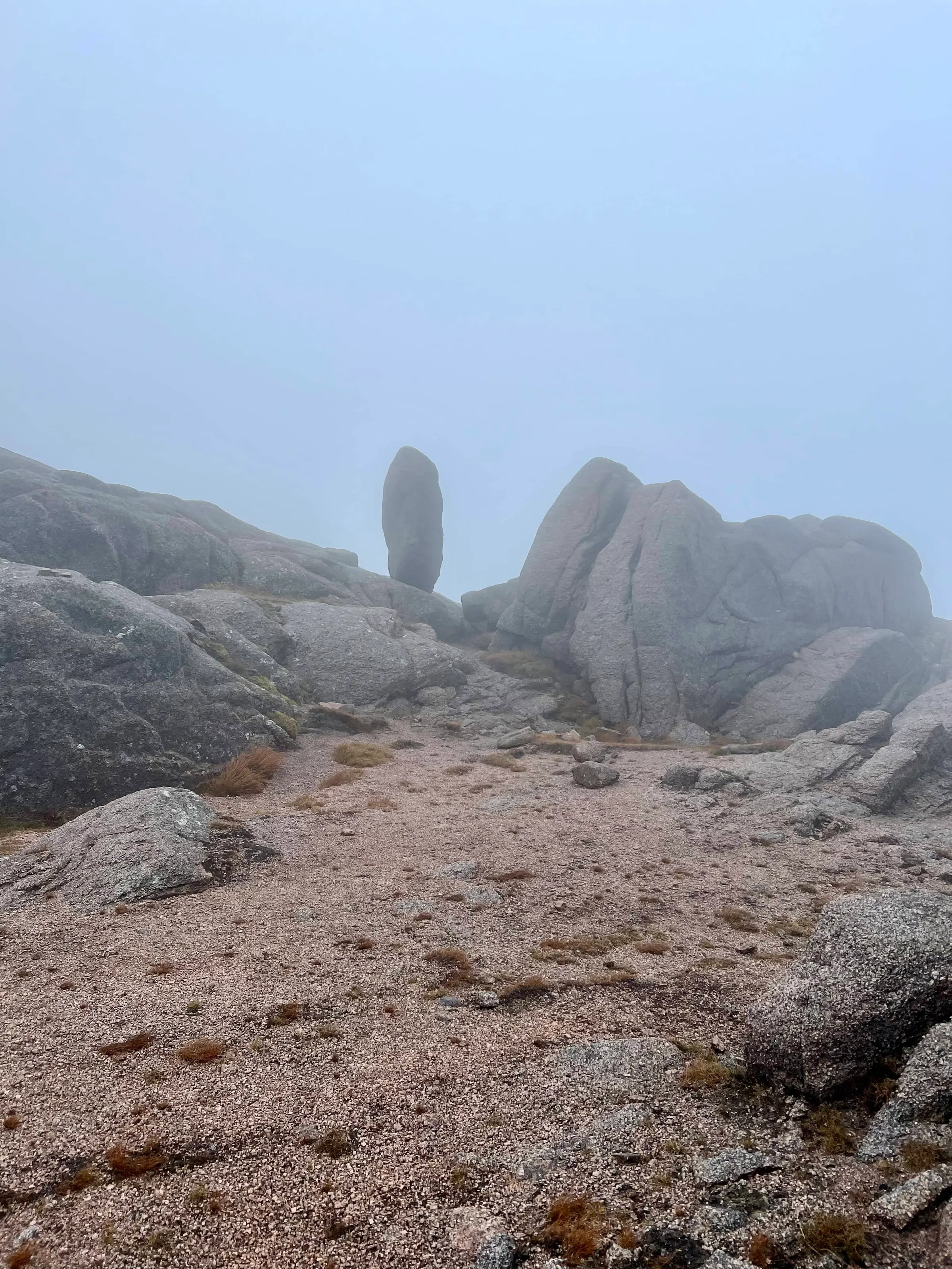
The frozen burns were interesting, some I could walk over, and some were only partially frozen. The small waterfalls would trap air underneath and then the bubbles would travel under the ice for a few meters before escaping.
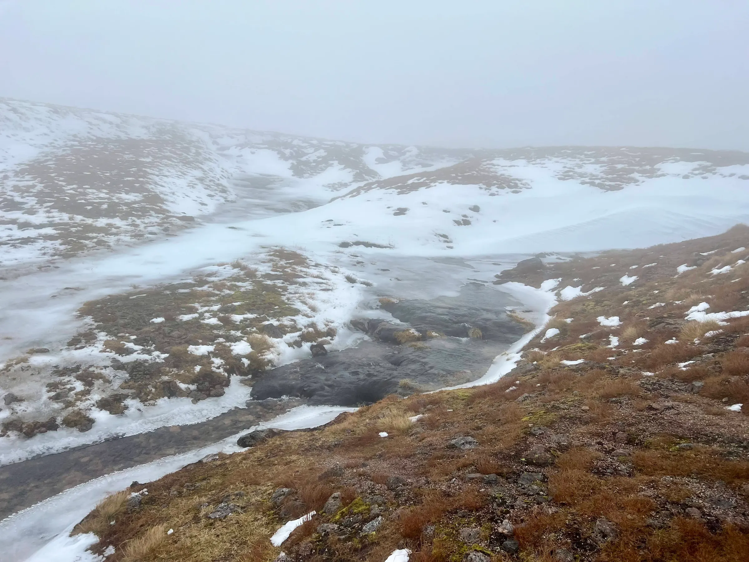
The summit was hard to find, my GPS route had come to an end but I couldn’t see anything. Some general blind amberling around eventually found it hidden in the cloud. I was a bit disappointed in the cairn, I was hoping I could at least hide in it, and even when crouched down behind it, the wind still got me.
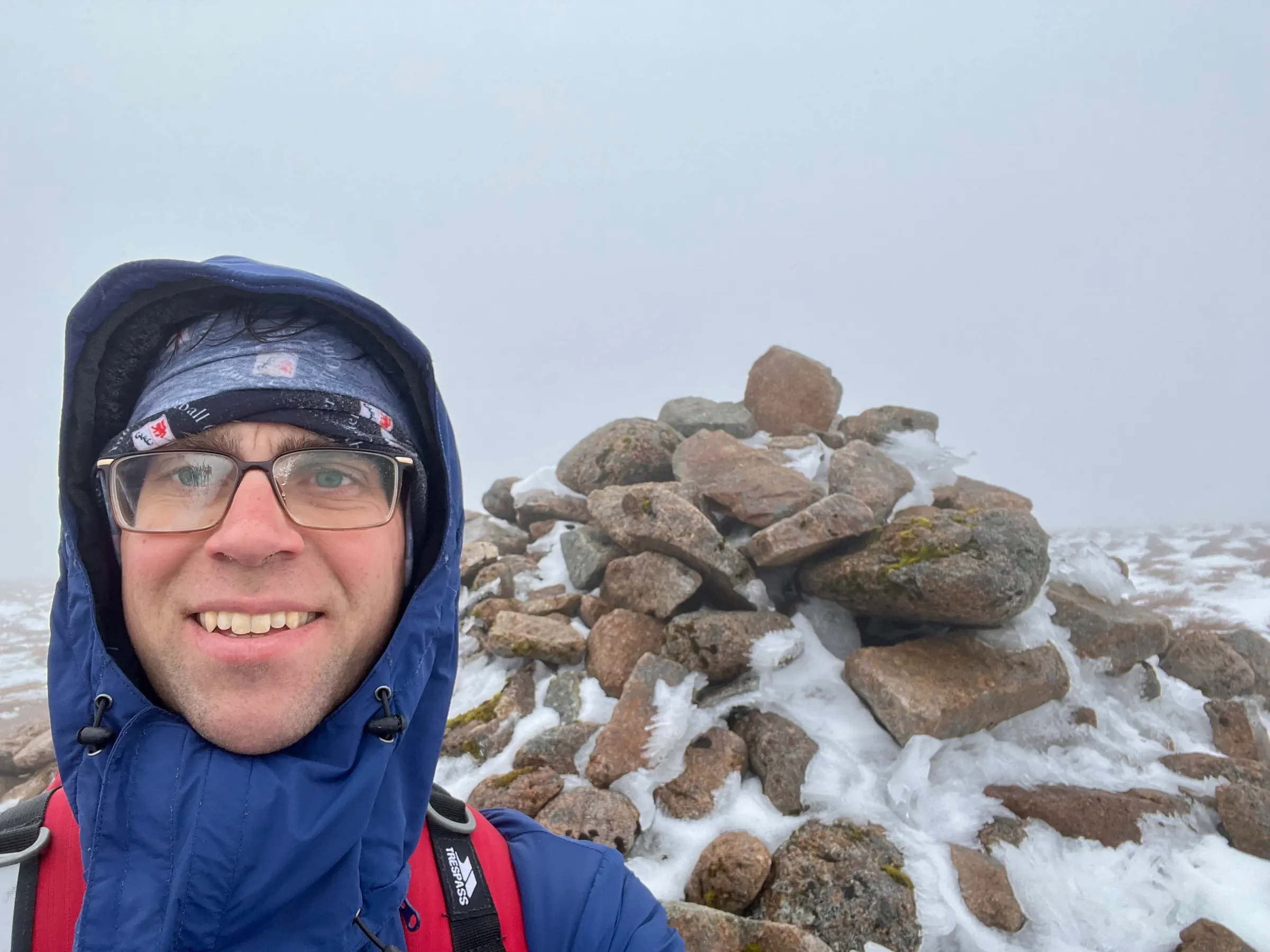
I then proceeded to spend ages messing about, trying to get setup on HF, but nothing would stay still. The wind pulled out guys and pegs, it bent the top of mast over 90° and so wires would come off, I angled the mast 35° off the ground into the wind, and the top still bent over enough for the wire to be pulled off. I held the mast with my body weight but still the wind could pick me up with only the surface area of the mast! Just when I had everything set for 40m it all blew down :sweat_smile: I thought I’d try 2m but that was just as challenging. I could hear the local lunch time net in Aberdeen but it was hard to get a word in edgeways and I’m not sure they could hear me anyway. So back to HF it was, this time with a short 5.5m vertical random wire for 20m. This I did manage to make some contacts with but, again, the wind blew me and the mast over mid-way through a QSO. By this time I was fed up, cold and wet, but had qualified the summit, so it was time to go! Also, there was no signal just behind the cairn…to add to the fun.
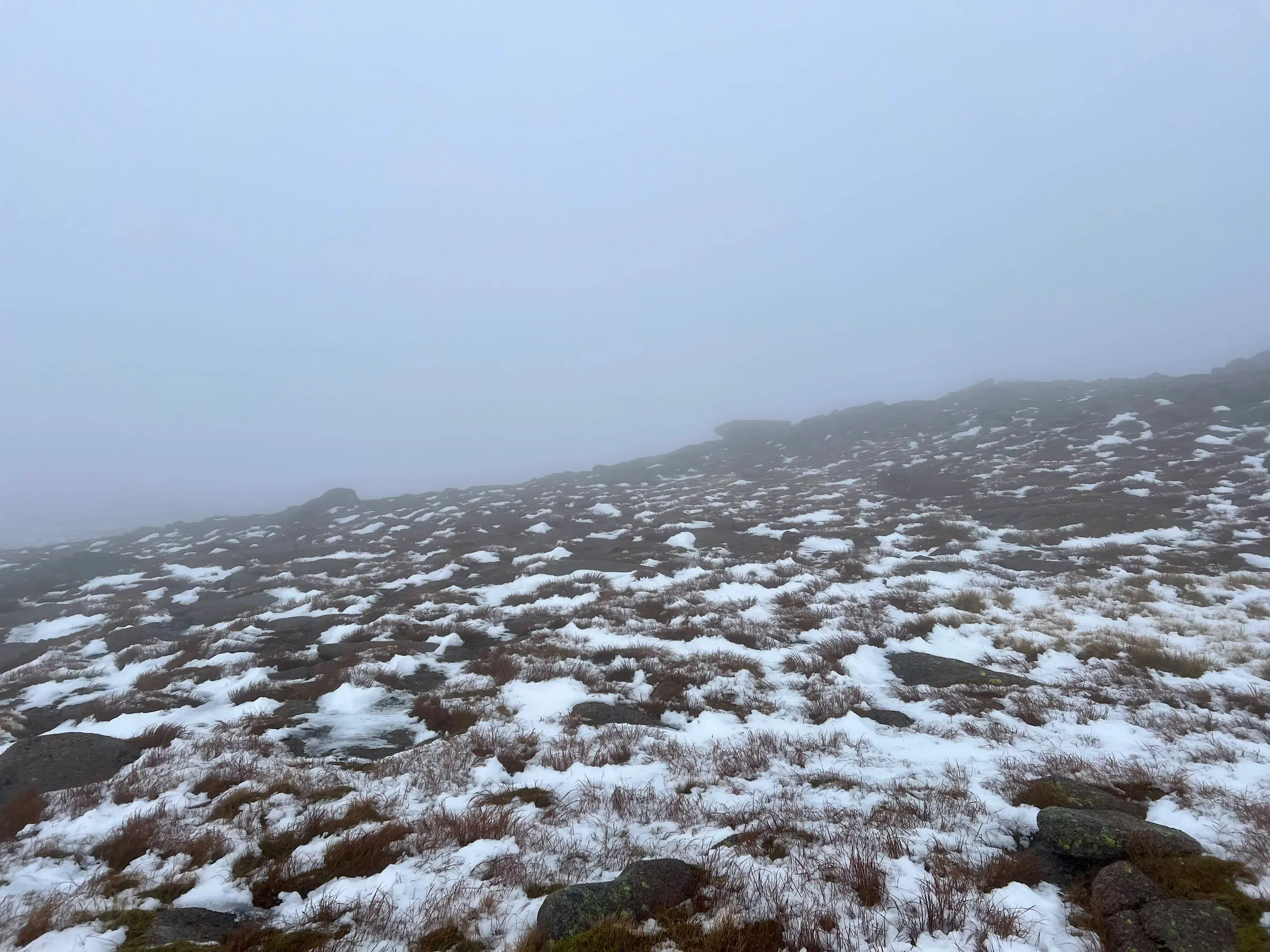
I generally took the same route back, without a compass, or device with a compass, it would be impossible to know which way to go. At one point on the way back it was so windy I could lean into the wind and it would hold me up! But I was soon back at The Sneck and heading down, and it wasn’t long before the conditions were more pleasant again. The weather wasn’t quite so nice down in the valley on the way back, but much nicer than on the summits. Found my bike, generally took the same route back, and was pleased to arrive back at the car to drive home.
A big day out for me, 38 km or so round trip…and did I mention it was windy? 🍃
Also on the SOTA reflector.
On air
| Ref | Name | Height | Pts | UTC | QSOs | Bands |
|---|---|---|---|---|---|---|
|
GM/ES-006 ✓
GB-0835 GB-3004 |
Ben Avon - Leabaidh an Daimh Bhuidhe Cairngorms The Cairngorm Mountains |
1,172 | 10 | 10:22–10:38 | 4 | 2m |
|
GM/ES-004 ✓
GB-0835 GB-0836 GB-0939 GB-3004 |
Beinn a'Bhuird - North Top Cairngorms Cairngorms Mar Lodge Estate The Cairngorm Mountains |
1,197 | 10 | 12:44–13:10 | 7 | 20m2m |
Contacts
- GM/ES-006 4
- GM/ES-004 7
- 20m 6
- 2m 5
Log
| From | UTC | Call | Band | Mode | Sent | Rcvd | km | Ref |
|---|---|---|---|---|---|---|---|---|
| GM/ES-006 | 10:22 | GM4CCN | 2m | FM | 59 | 59 | 29 | |
| GM/ES-006 | 10:24 | GM0GTU | 2m | FM | 57 | 54 | 58 | |
| GM/ES-006 | 10:27 | MM0EFI/P | 2m | FM | 33 | 33 | 159 | GM/SI-016 |
| GM/ES-006 | 10:38 | GM4XQJ | 2m | FM | 59 | 59 | 126 | |
| GM/ES-004 | 12:44 | GM4CCN | 2m | FM | 59 | 59 | ||
| GM/ES-004 | 13:05 | 2W0RGA | 20m | SSB | 55 | 57 | ||
| GM/ES-004 | 13:06 | DL2DXA | 20m | SSB | 59 | 57 | ||
| GM/ES-004 | 13:07 | LA5FHA | 20m | SSB | 59 | 59 | ||
| GM/ES-004 | 13:08 | 3Z9VI | 20m | SSB | 59 | 55 | ||
| GM/ES-004 | 13:09 | HB9DHA | 20m | SSB | 59 | 59 | ||
| GM/ES-004 | 13:10 | GW0PLP | 20m | SSB | 57 | 55 |