Adventures in Arran
- Parks
- 2
- Distance
- 27.3 km
- Ascent
- 738 m
- Time
- 5h 39m
- QSOs
- 16
- Bands
- 40m20m17m15m
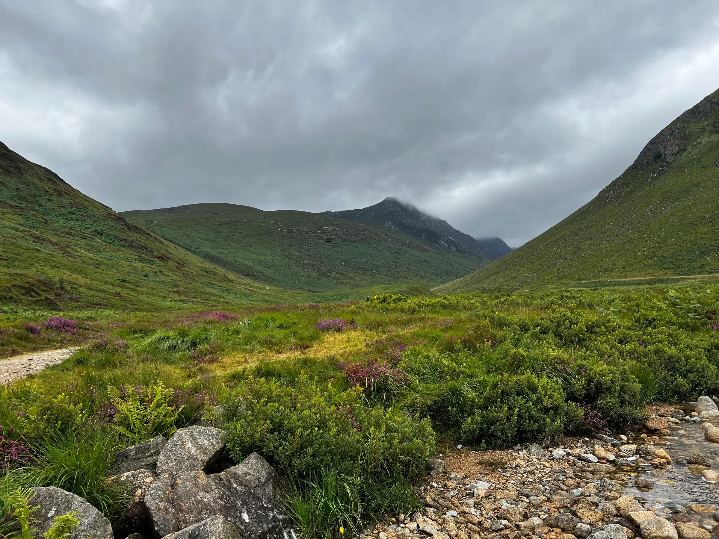
We spent a week on Arran, a family favourite holiday destination. As it’s a family trip, radio and hill walking takes a backseat, but we did plan one outing. My daughter and I would do Mullach Buidhe (GM/SI-027) on the west side of the island, an 8.5 km round trip from Pirnmill - with a convenient corner shop for a suitable reward afterwards.
Weather in the week has been mixed but it was meant to be a nice dry afternoon, although quite windy.
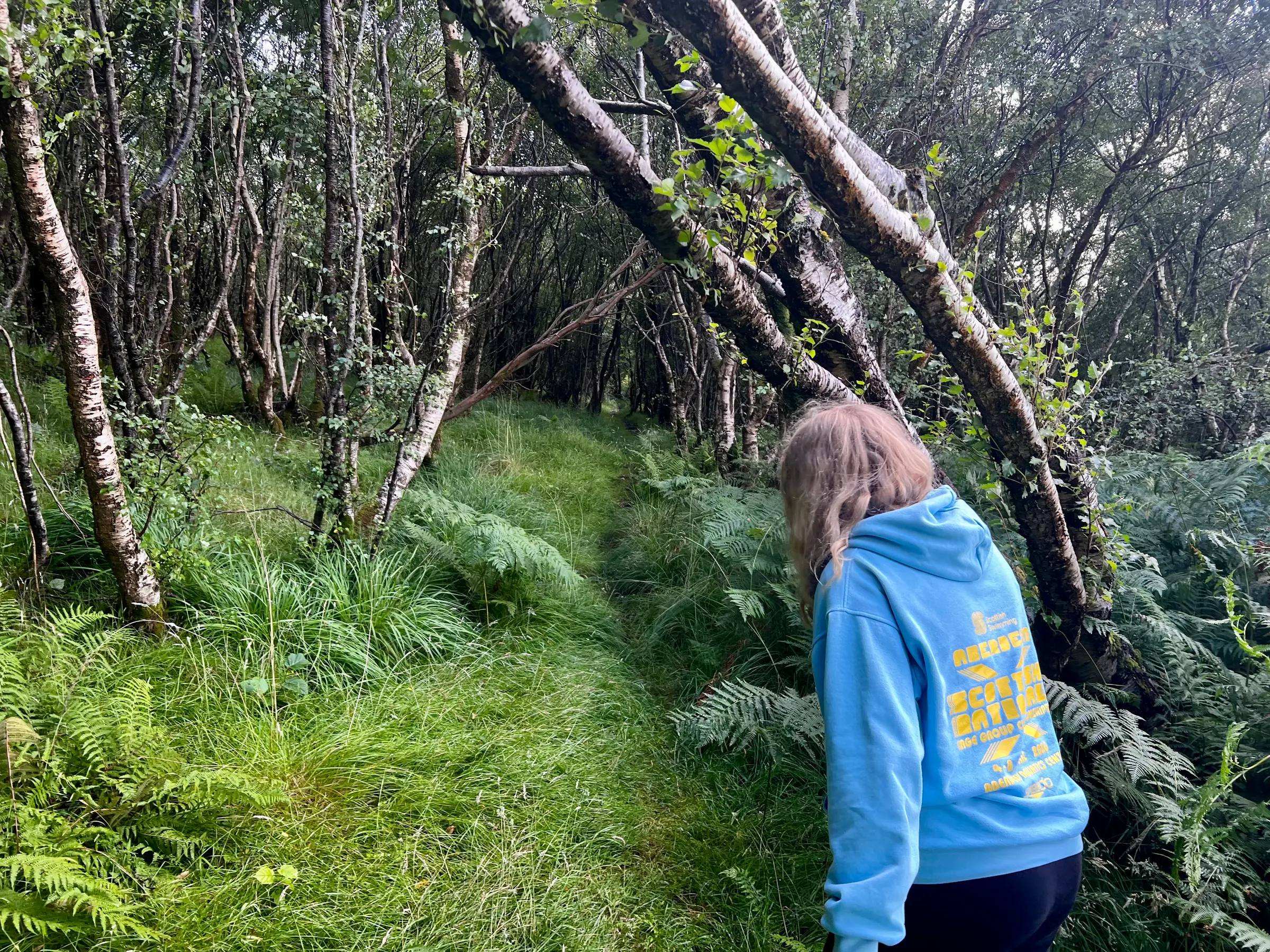
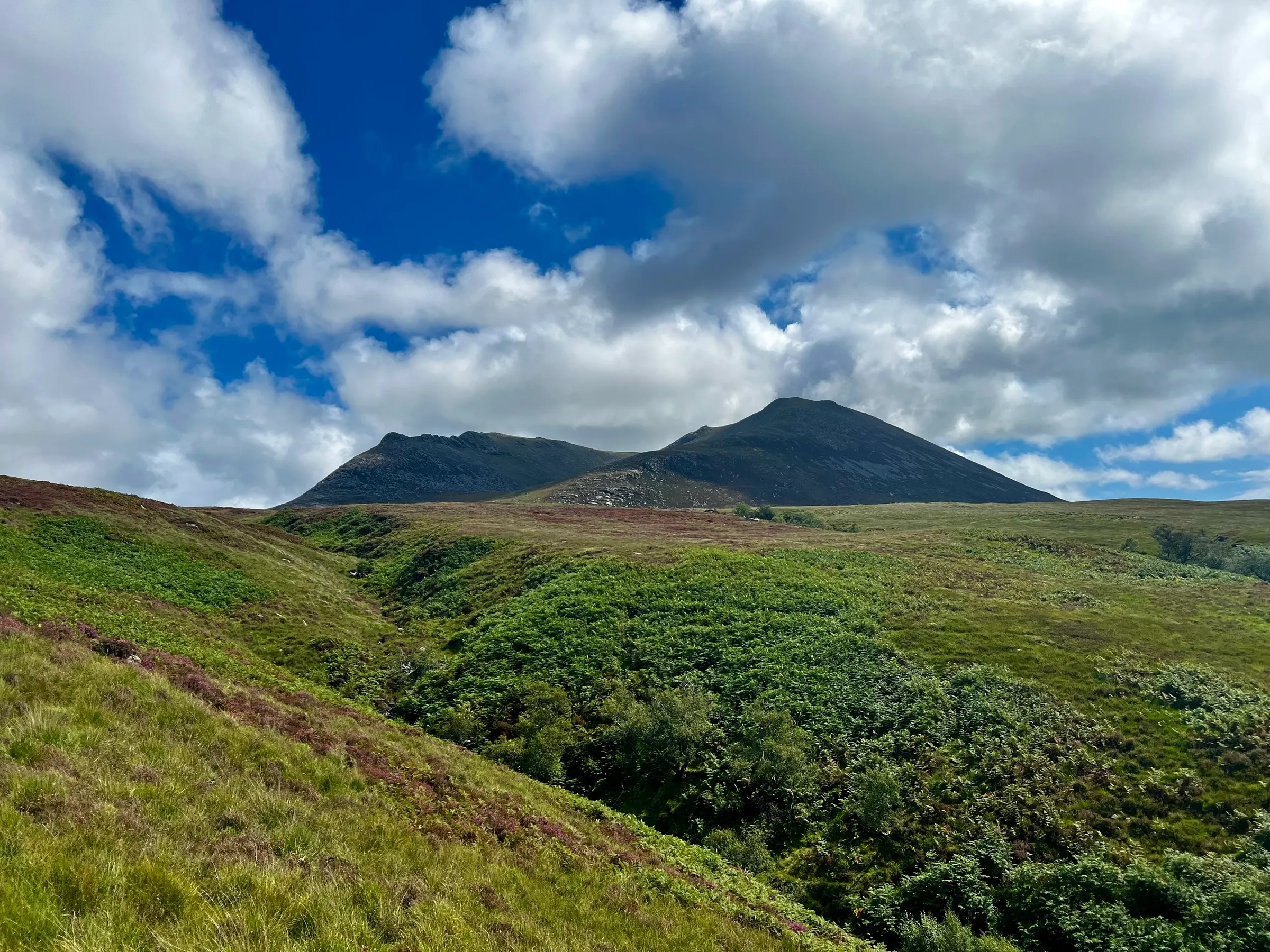
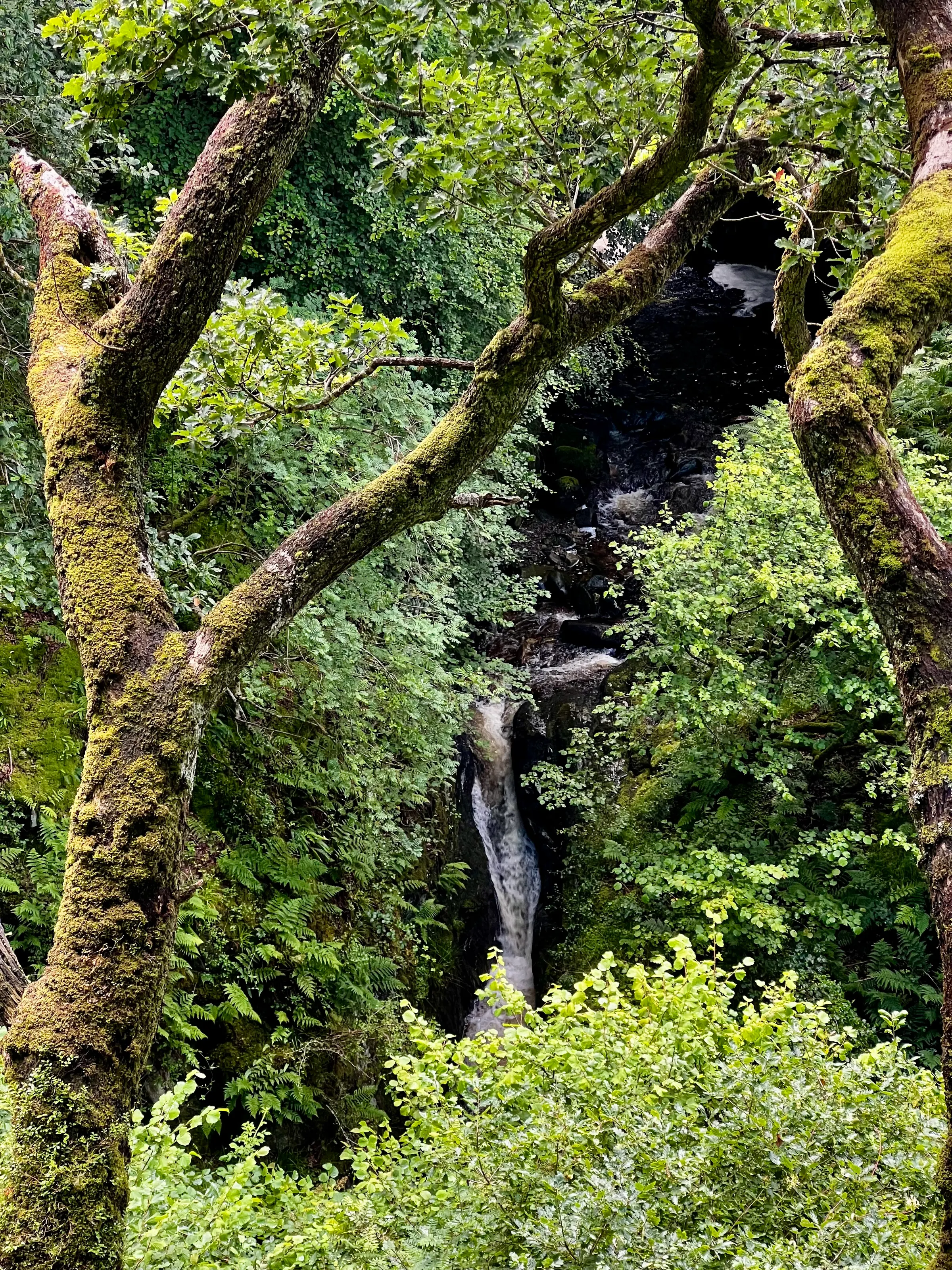
The walk starts off going through some trees and ferns before coming out into a vast, and wet, grasslands. We made our way up the eastern ridge, with the intent to do the summit then come back down the western ridge to form a loop.
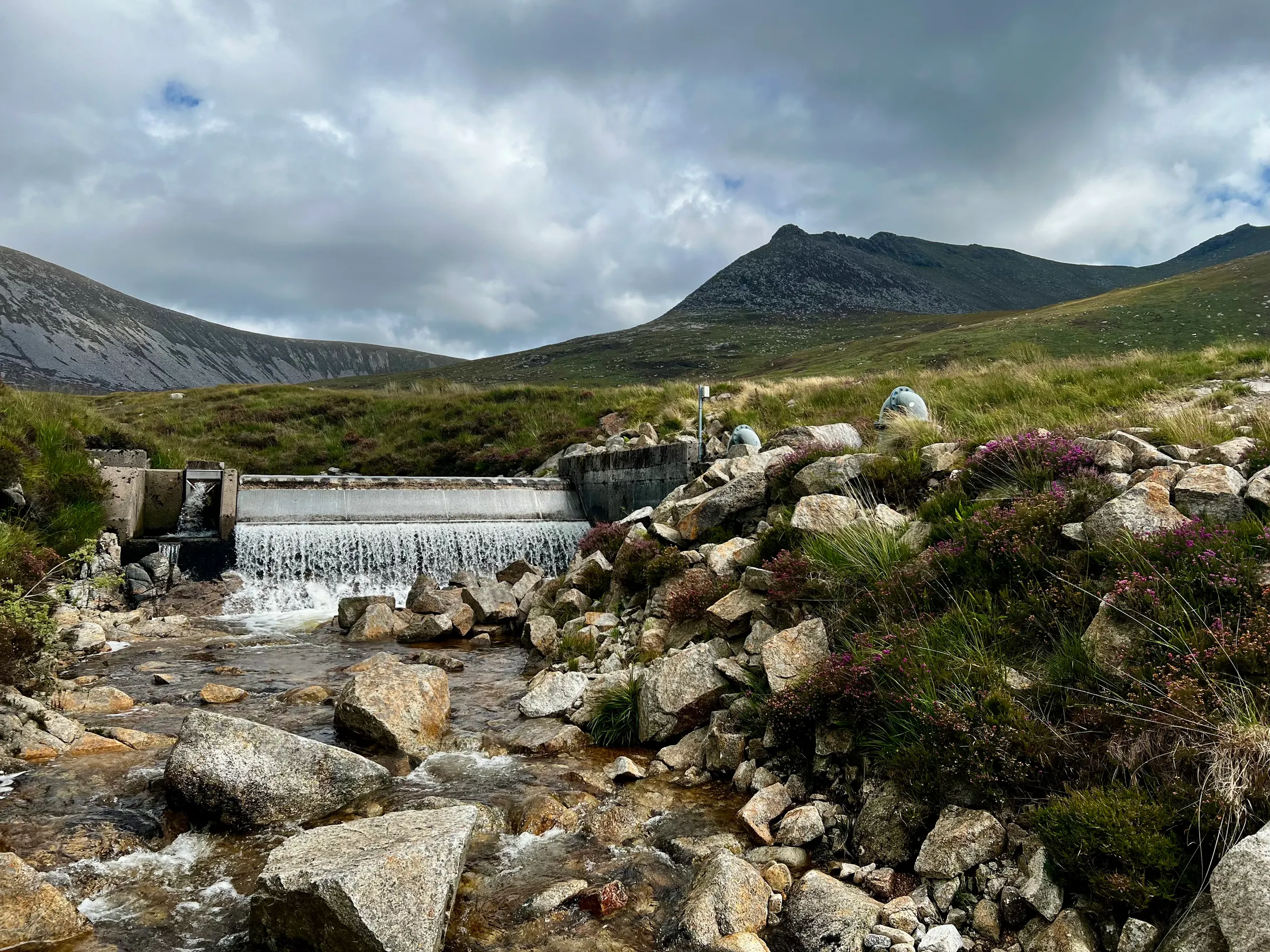
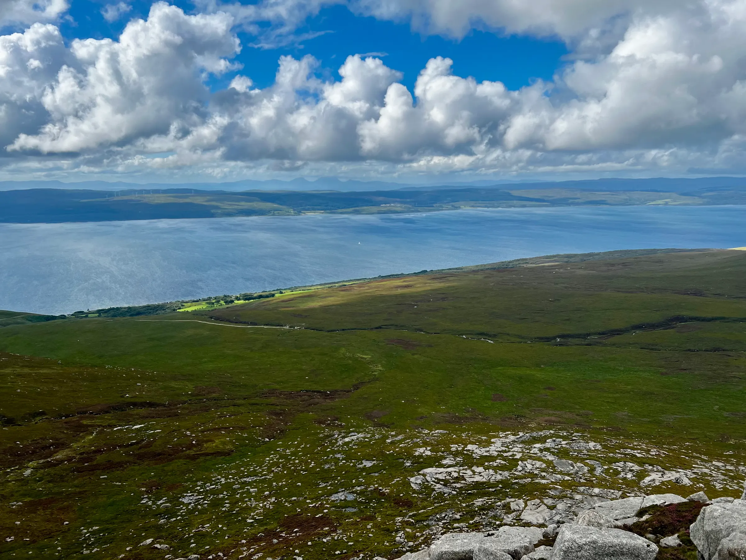
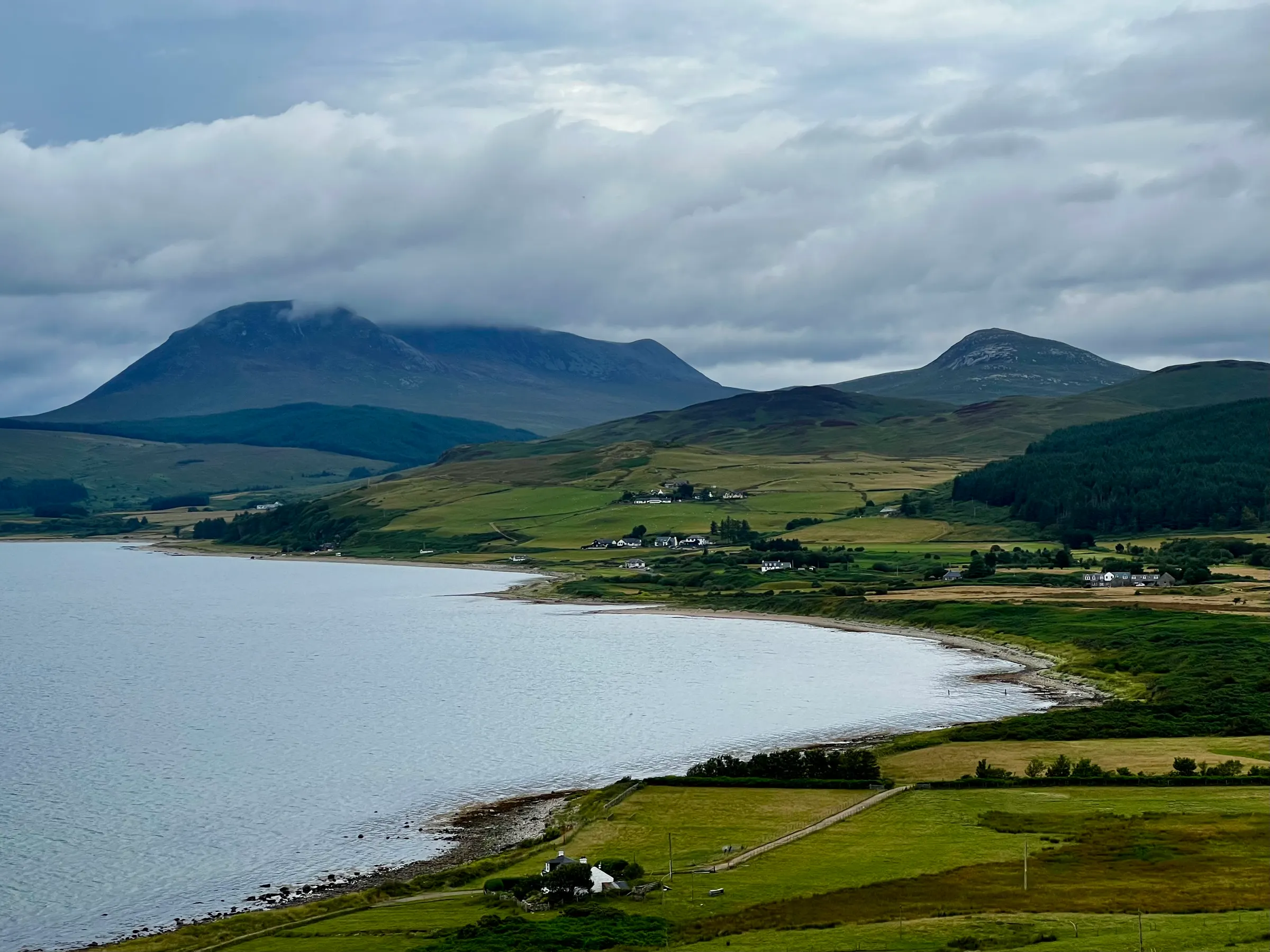
Unfortunately, at around 500m the wind was absolutely relentless and a struggle to walk it. After a little way and knowing it was another 200m+ to ascend, I decided it wasn’t a good idea to continue and so we turned back. We were maybe only 600m from the summit, but it’ll be there next time. It was a squelchy walk back, but the views were still good. We could see the three paps of Jura in the distance.
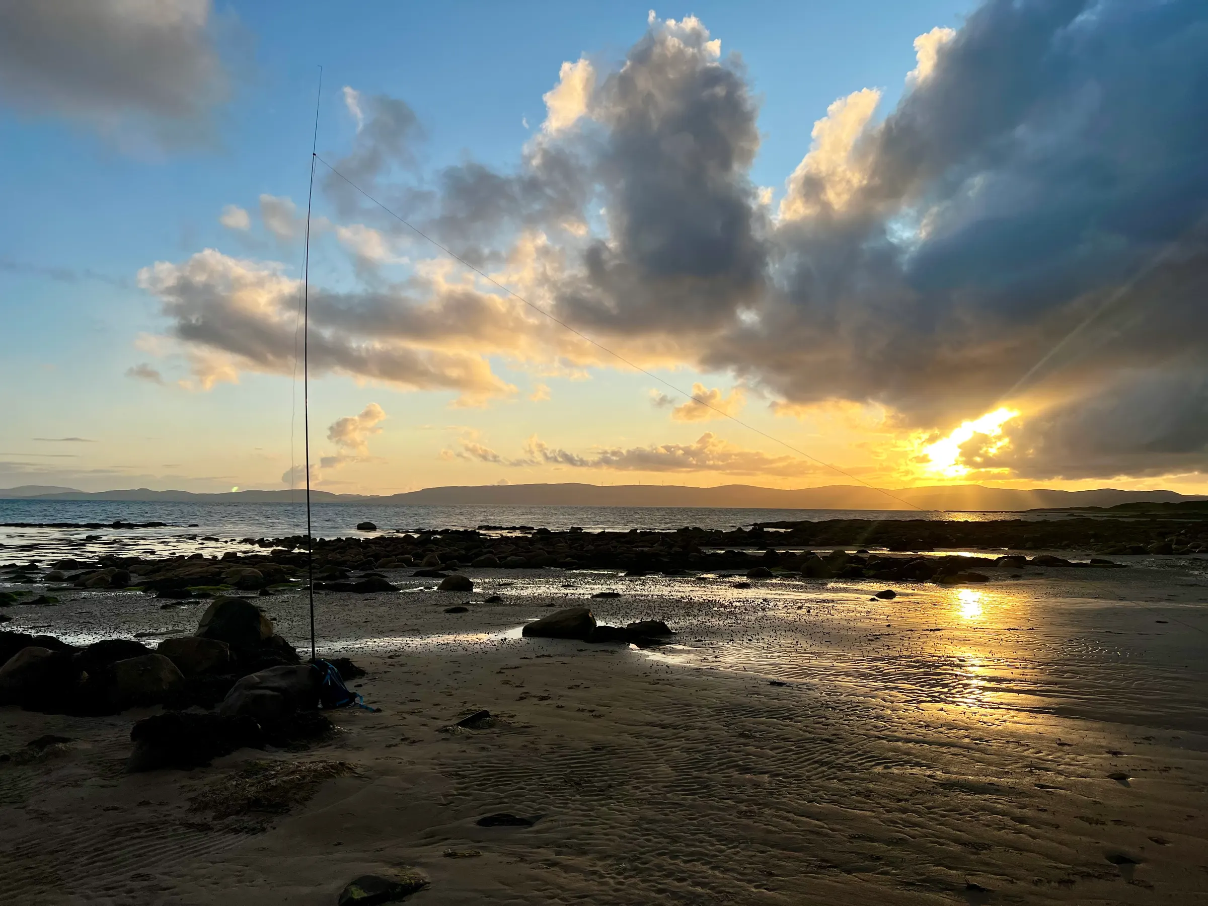
Not wanting to miss out on some radio time, I decided to setup on the beach in Blackwaterfoot. This happens to be in two POTA parks, GB-1447, Arran coastal way, and GB-4447, Arran Geopark (which seems to cover the entire island).
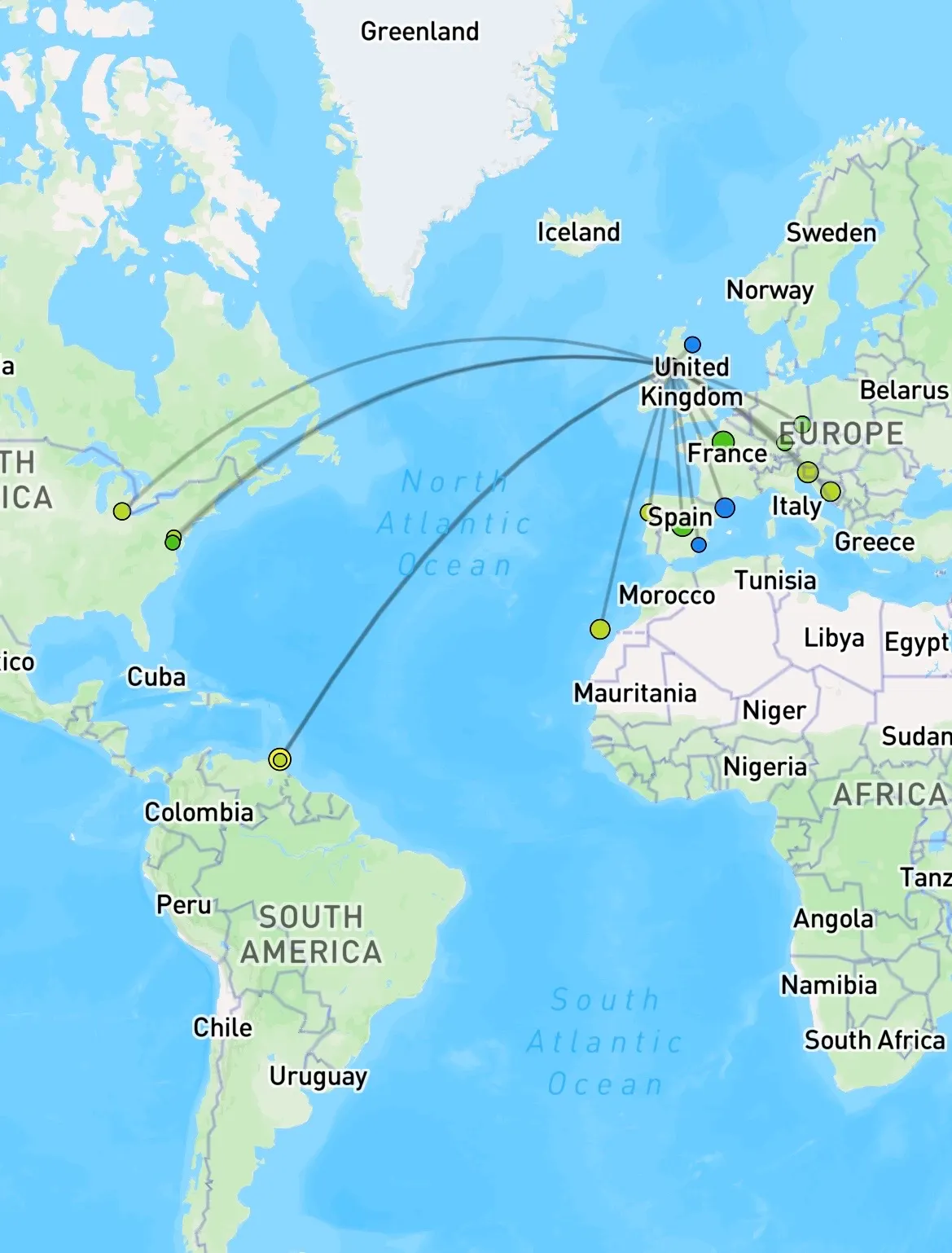
40m was pretty rough, and interestingly my 41’ random wire didn't tune on 20m - I guess the beach ground is different than a hilltop - but I had another antenna with me and used that counterpoise. However, the best band was 17m, with several US stations and a P2P with a couple on holiday in Trinidad and Tobago! I could hear Uruguay strongly on 15m, but they had many callers so I wasn’t going to be heard with my 10W from the KX2.
Aside from these phone photos, I only took film with me on this holiday…we will see how that decision turns out!
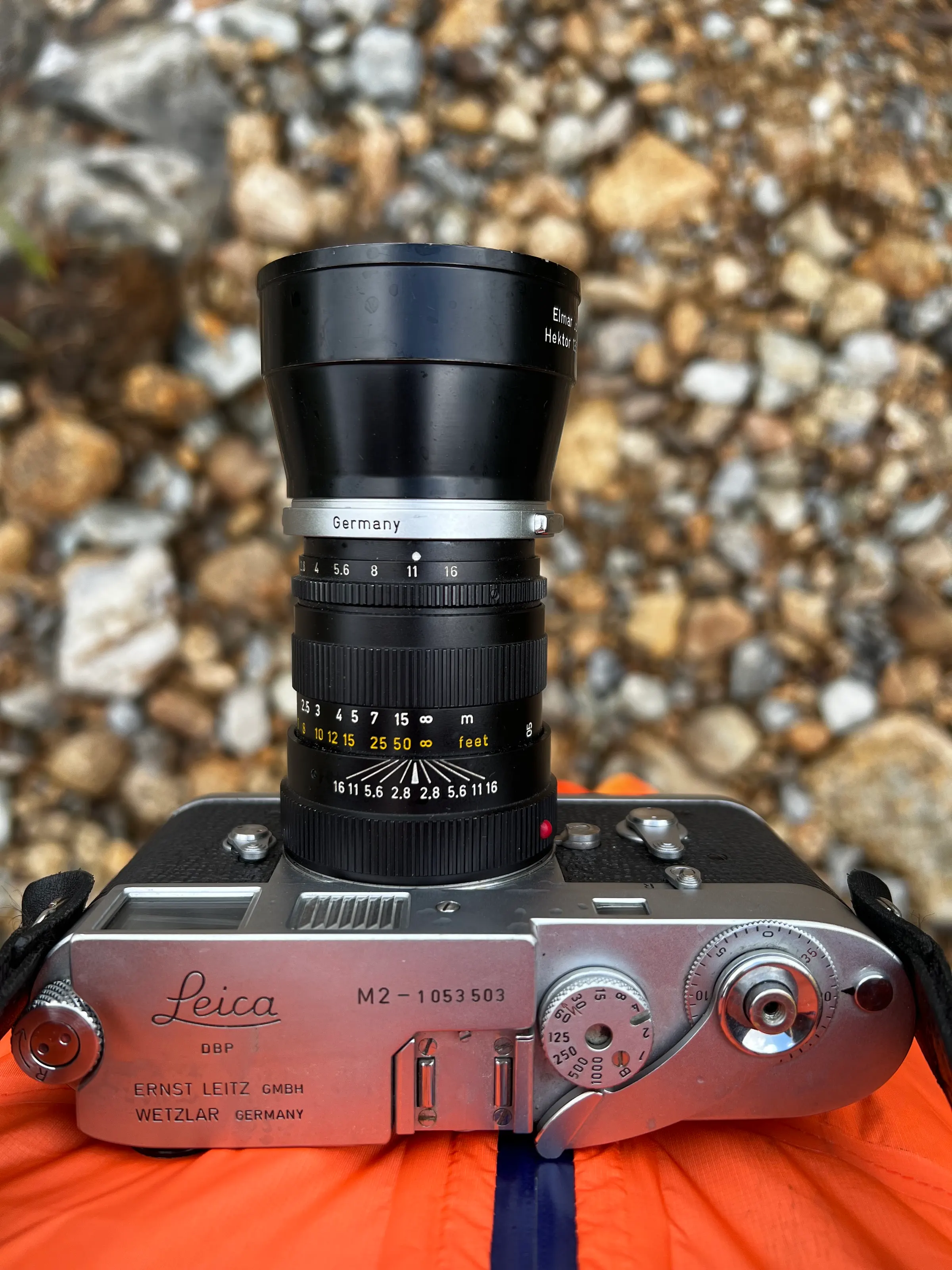
On air
Route
Contacts
- 40m 3
- 20m 5
- 17m 7
- 15m 1
Log
| UTC | Call | Band | Mode | Sent | Rcvd | km | Ref |
|---|---|---|---|---|---|---|---|
| 19:54 | 2M0RVZ | 40m | SSB | 55 | 54 | 254 | |
| 19:55 | EA3HAB | 40m | SSB | 55 | 57 | 1,572 | |
| 19:56 | EA5FI | 40m | SSB | 57 | 53 | 1,946 | |
| 20:04 | EA8DQP | 17m | SSB | 57 | 57 | 3,165 | |
| 20:06 | W3SU | 17m | SSB | 52 | 53 | 5,431 | US-6383 |
| 20:07 | K8HQ | 17m | SSB | 55 | 55 | 5,659 | |
| 20:08 | CR7BVE | 17m | SSB | 57 | 55 | 1,553 | |
| 20:10 | E78A | 17m | SSB | 59 | 57 | 2,057 | |
| 20:14 | S51DX | 17m | SSB | 59 | 58 | 1,723 | |
| 20:19 | DL1PAN | 20m | SSB | 58 | 54 | 1,321 | |
| 20:22 | N3RCW | 20m | SSB | 44 | 53 | 5,487 | |
| 20:22 | F4MAI | 20m | SSB | 59 | 59 | 891 | |
| 20:24 | EA4GU | 20m | SSB | 59 | 59 | 1,688 | |
| 20:26 | OK3CV | 20m | SSB | 59 | 55 | 1,357 | |
| 20:45 | 9Y4/8P6PE | 17m | SSB | 43 | 42 | 6,976 | TT-0147 |
| 20:45 | 9Y4/??? | 15m | SSB | 59 | 59 |