Ben Rinnes and Convals
- Summits
- 3
- Distance
- 14.8 km
- Ascent
- 988 m
- Time
- 6h 19m
- QSOs
- 31
- Bands
- 40m20m2m
Preprandial 🍸
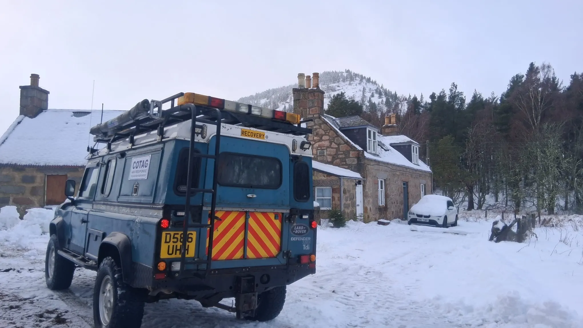
Last week was possibly a record breaking amount of snow in NE Scotland, so much so that schools were shut all week - even the city ones - and terms such as snow-vid were floating around as everyone was literally stuck at home. As is the case with the UK, where snow is irregular and infrequent, the majority of the population and government don’t really prepare and so chaos ensues. Others, who are better equipped, head out and help those in need. Photos from the Aberdeenshire chat that week:
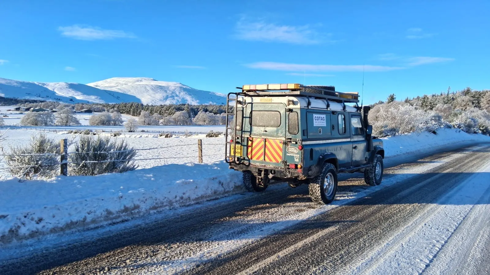
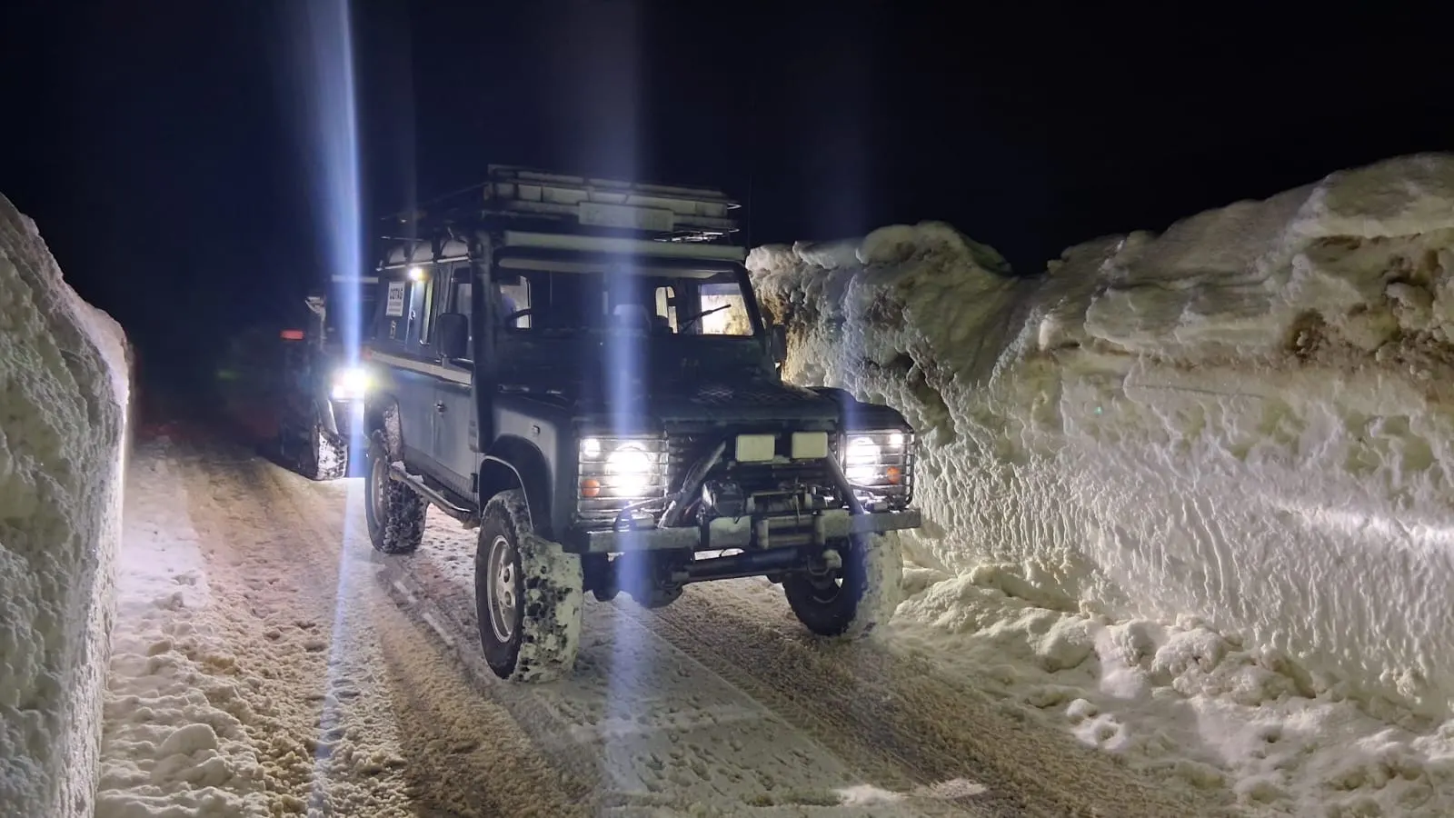
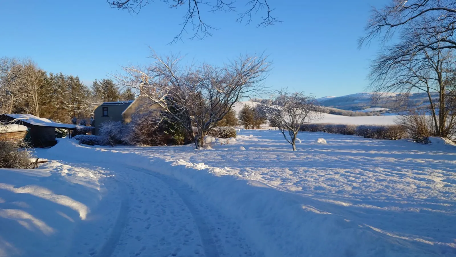
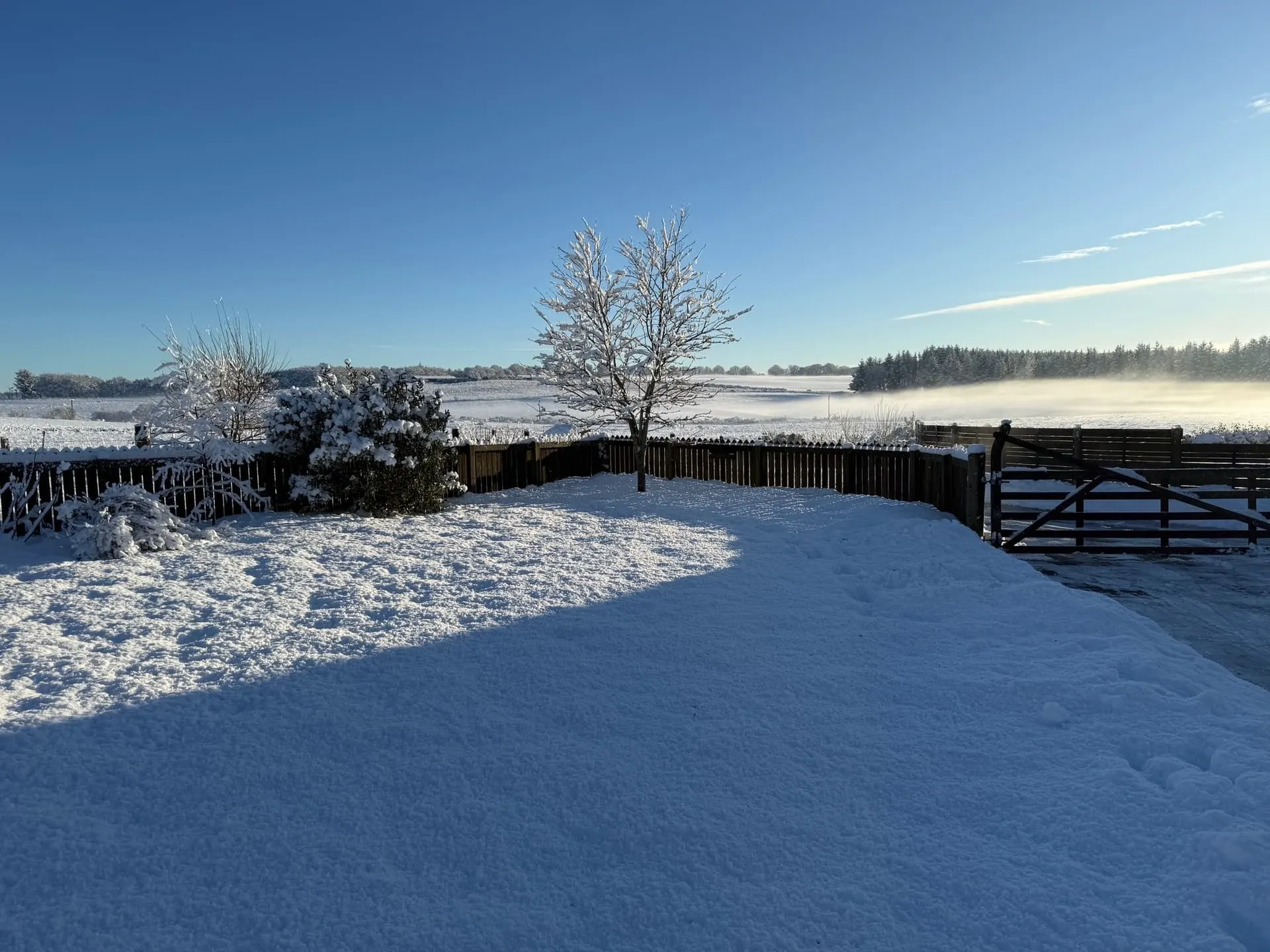
If you could get to a hill, then it could’ve been a great day out…at least on the sunny day.
SOTA restart 2026 🏔️
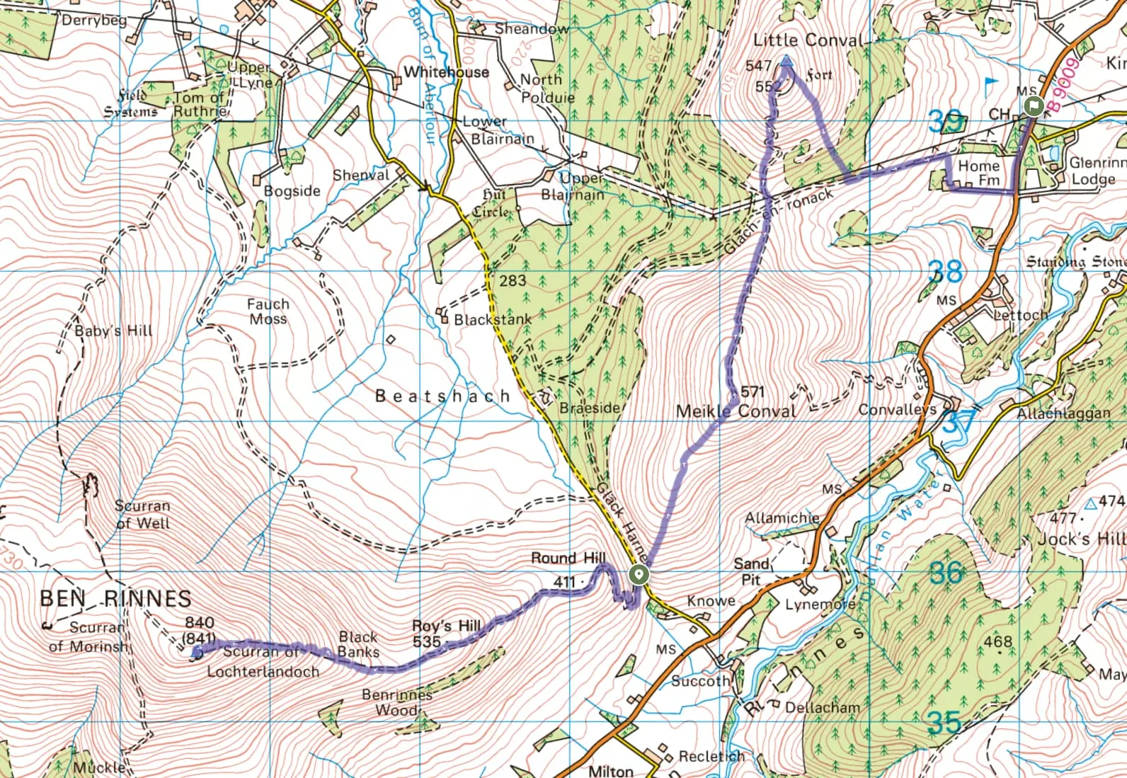
Eager to get out, but still wary of the road conditions, I proposed Ben Rinnes and the two Convals - Meikle and Little. We’d make use of the two cars and do a through route to save too much backtracking on ourselves.
Promontory
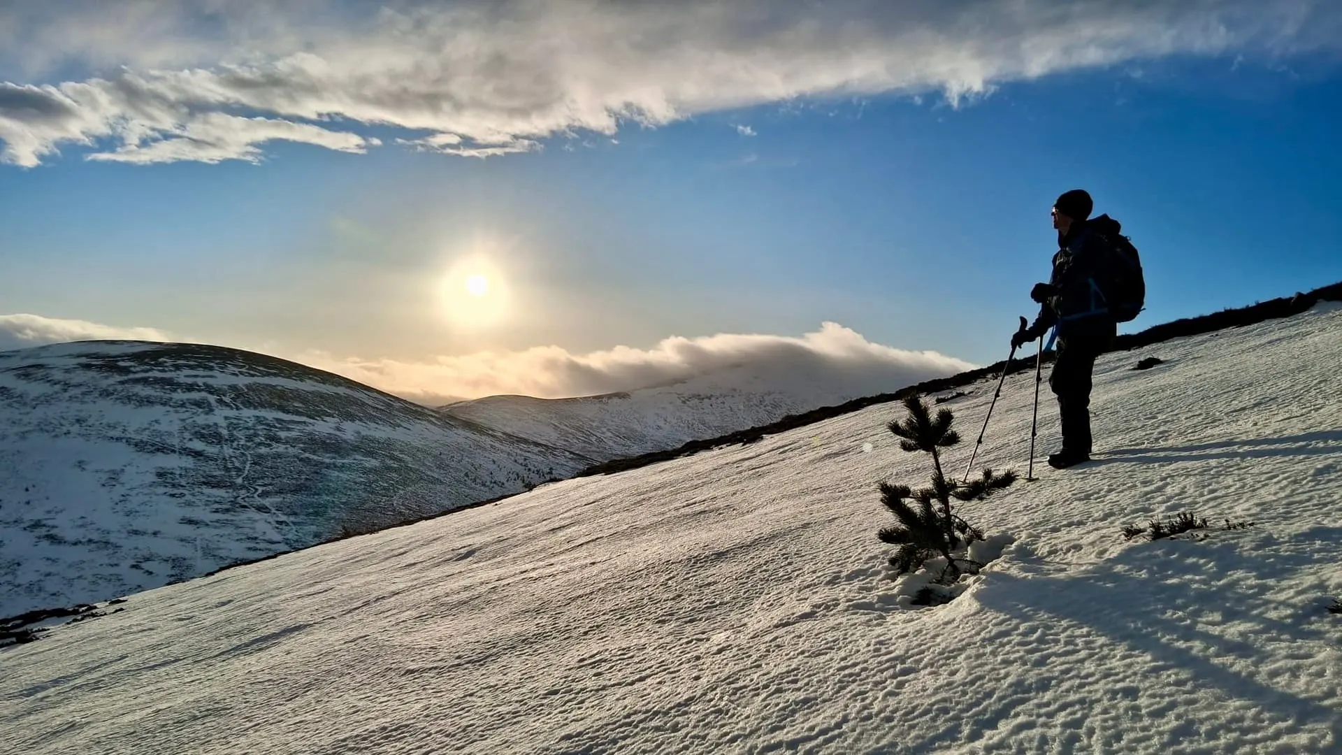
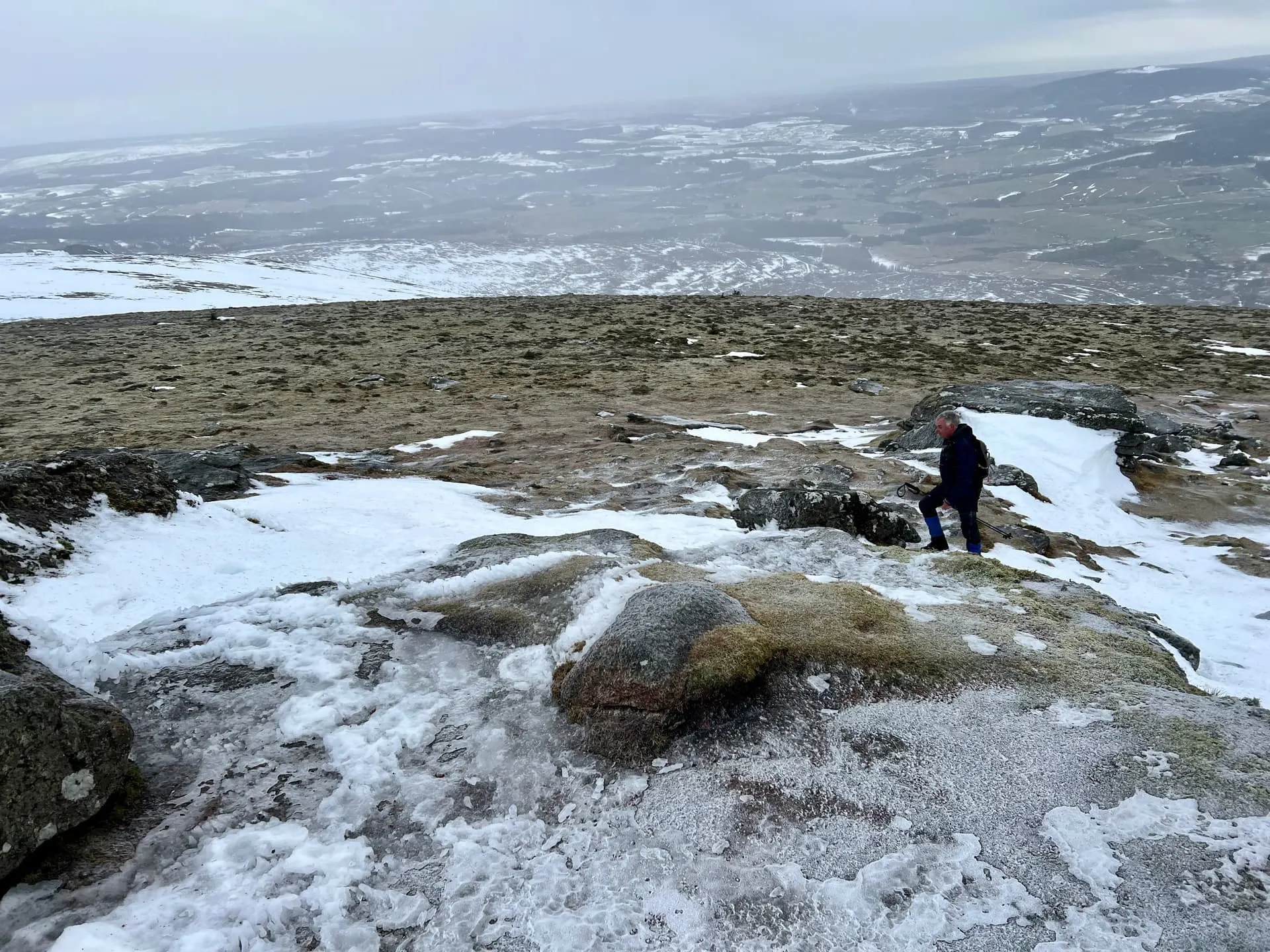
Sunday and Monday had seen significant snow melts and so the hills were quite patchy. The deepest snow were the drifts in the path, and it seemed the higher we went the less snow there was - presumably having been blown away.
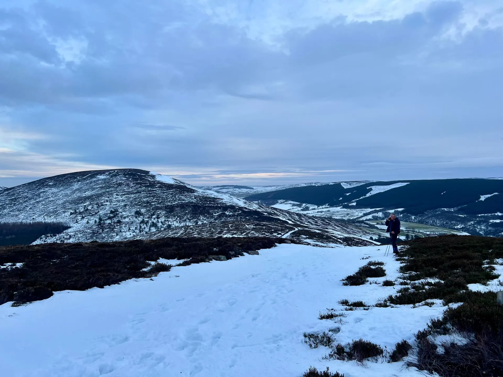
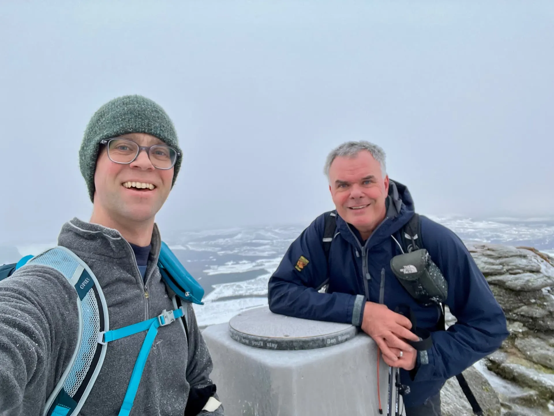
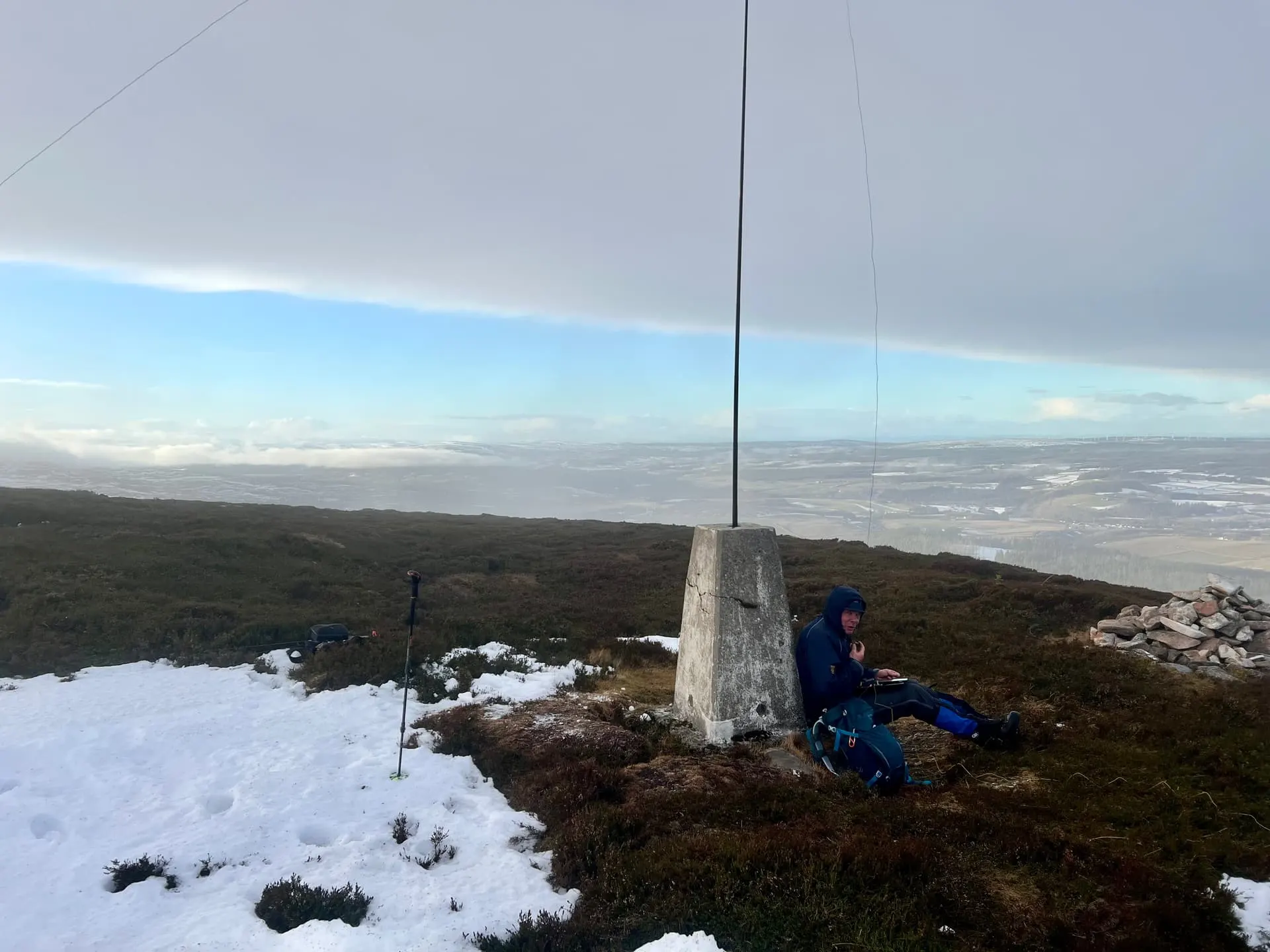
What the top lacked in snow, it made up for it in ice, with some rocks being particularly lethal. However, we made it in reasonable time, with a small flurry of snow to greet us. The wind wasn’t too bad, so we setup on the top by the trig.
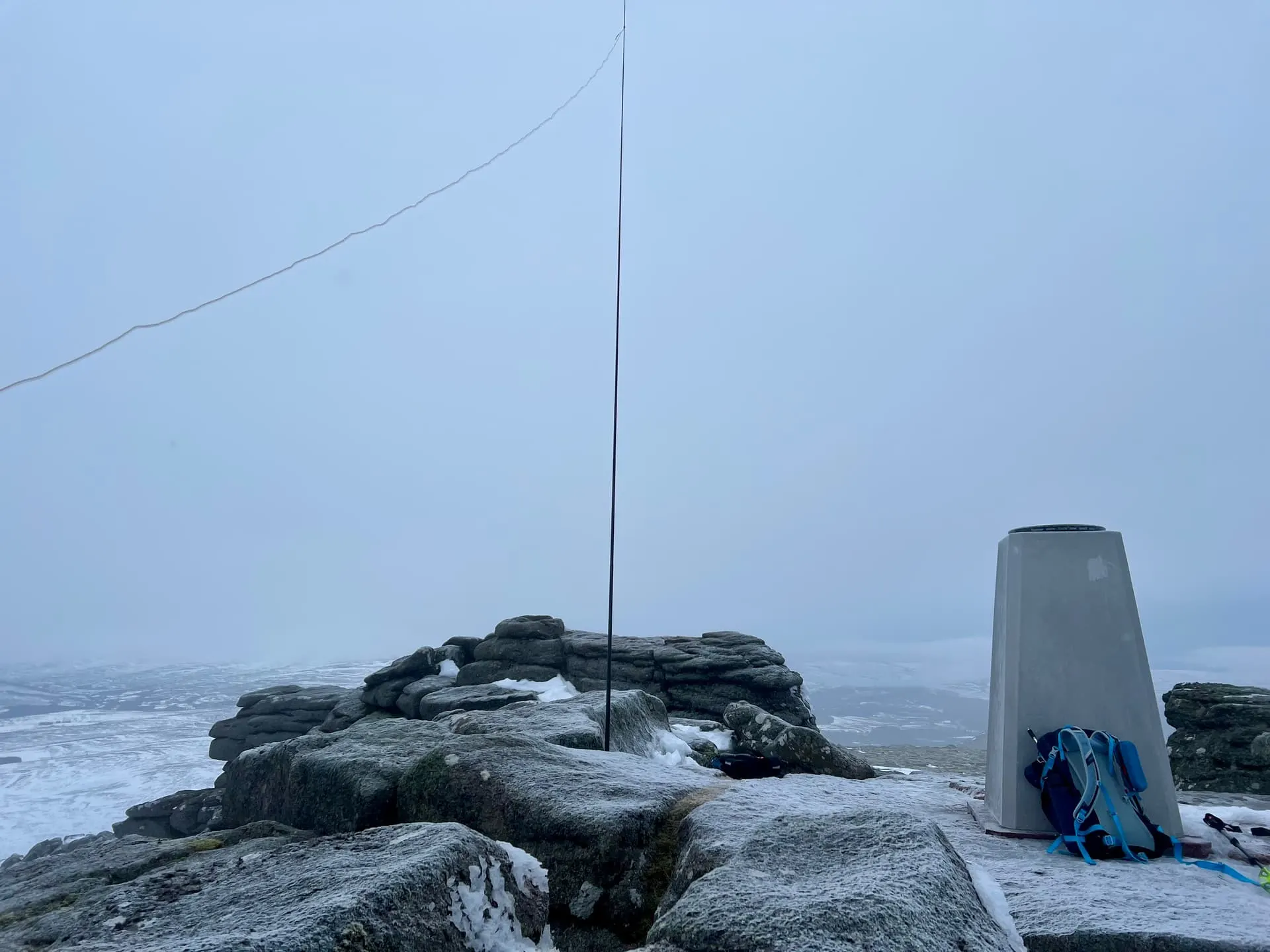
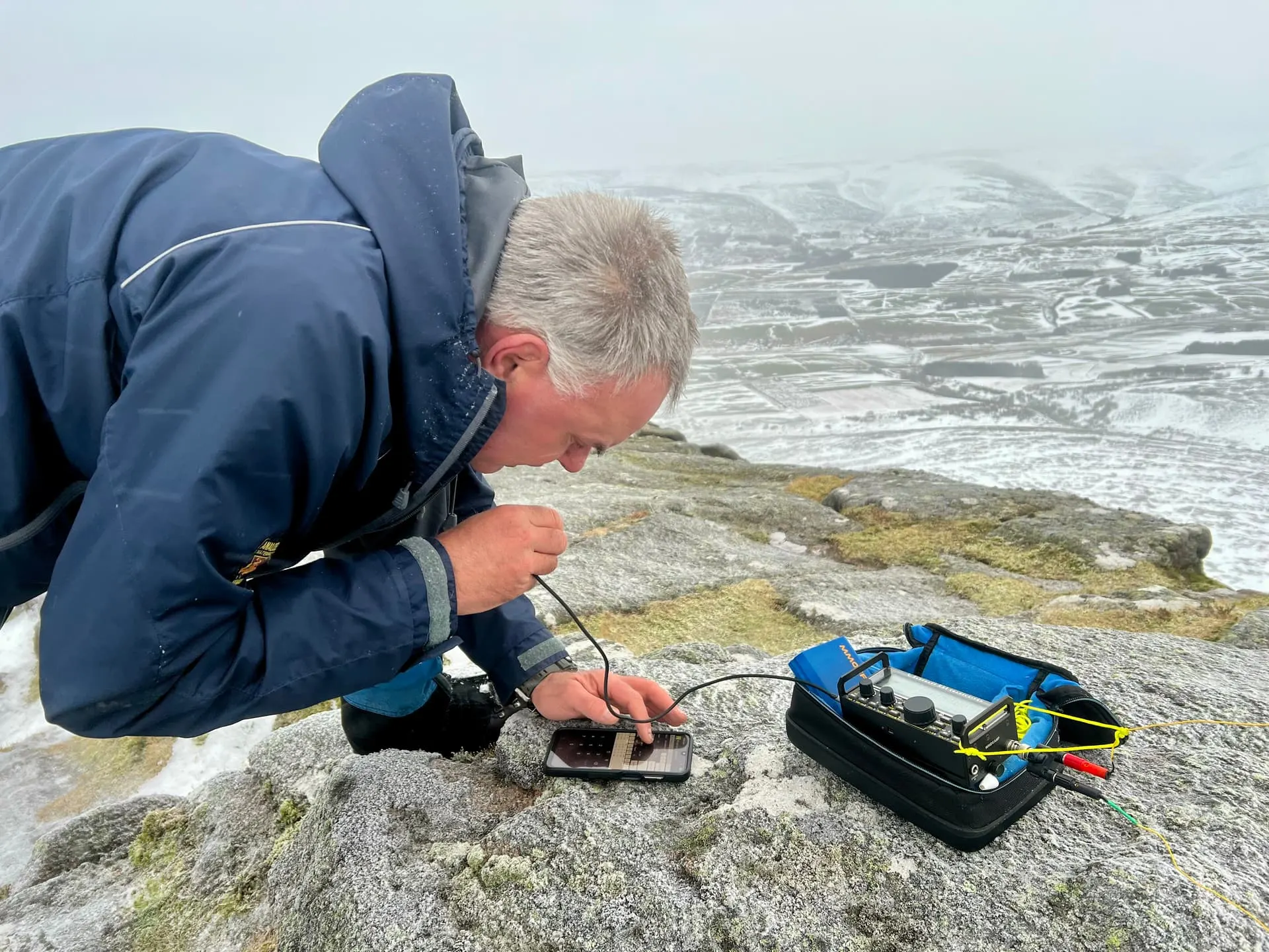
Fraser setup on 20m and I tried 2m FM. Ben Rinnes benefits from reaching the Moray coast and back towards Aberdeen on VHF, and often there’s decent activity from the locals along the coast. However, it was pretty quiet, so I took over from Fraser on HF to qualify the summit before we were too cold.
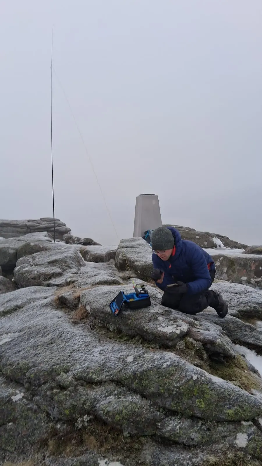
Time for Conviviality◝(ᵔᵕᵔ)◜
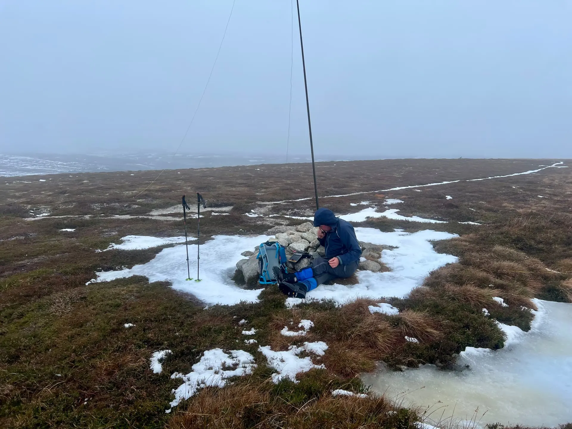
Back to the Land Rover for lunch (sounds fancier than it was) and then up the steep start to Meikle Conval. This time Fraser tried 2m first, then hopped on HF once efforts were exhausted.
The path continues on, with Little looking just that until you’re at the bottom, and up we go a final time. The map says there’s a trig, but it doesn’t seem to have been put on the actual summit, and so we keep going a bit, in the hope of a useful mast support at least.
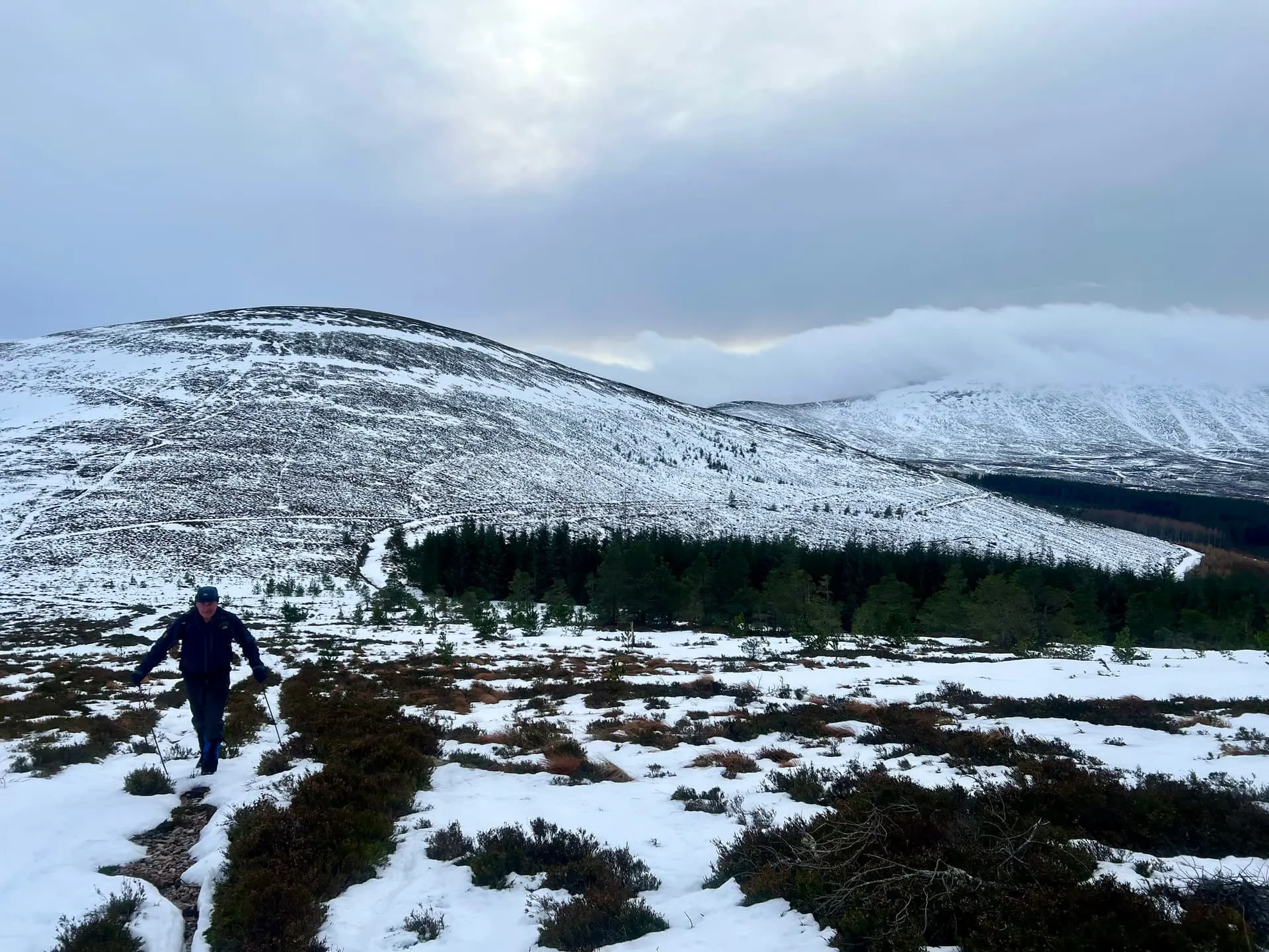
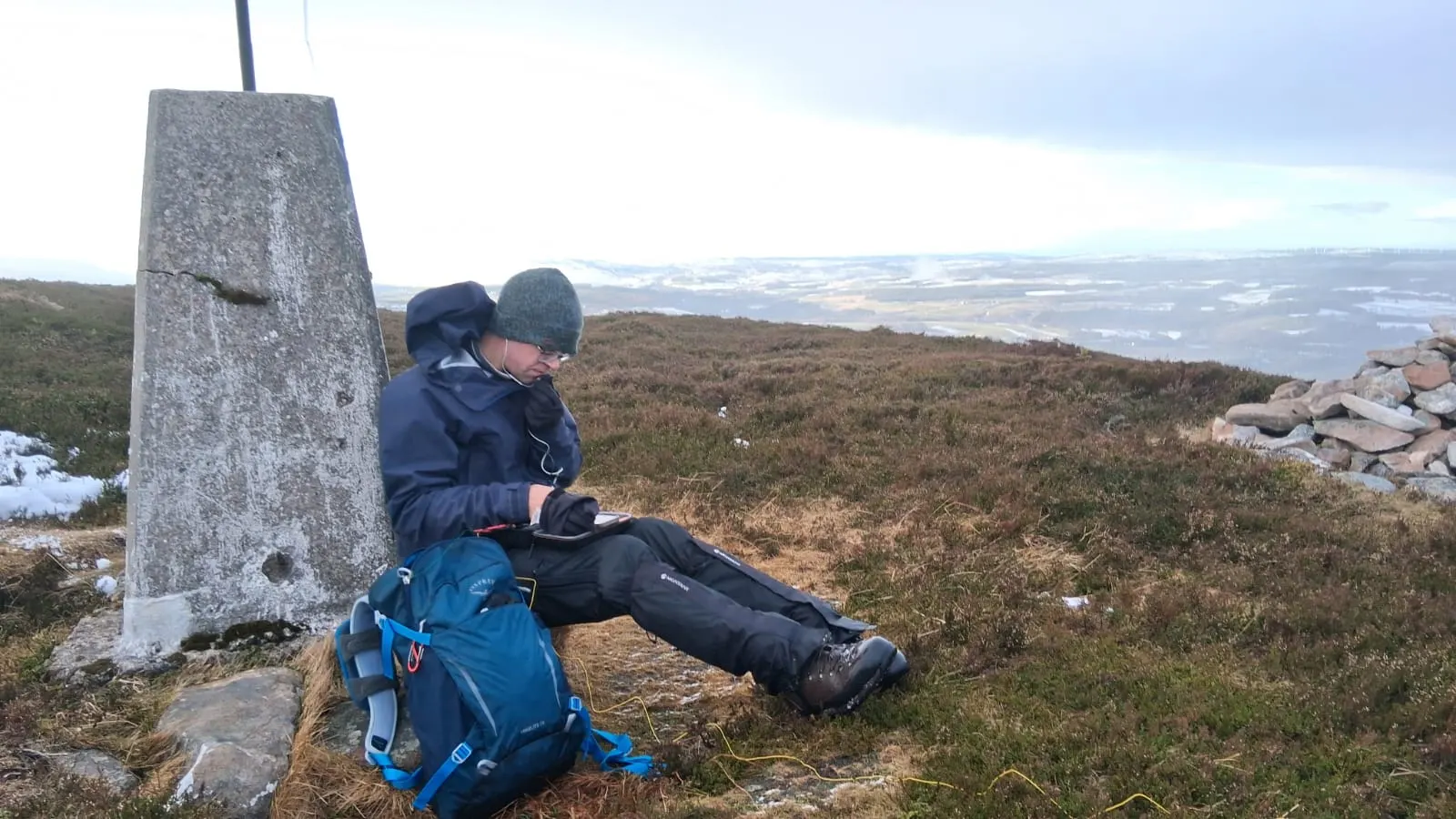
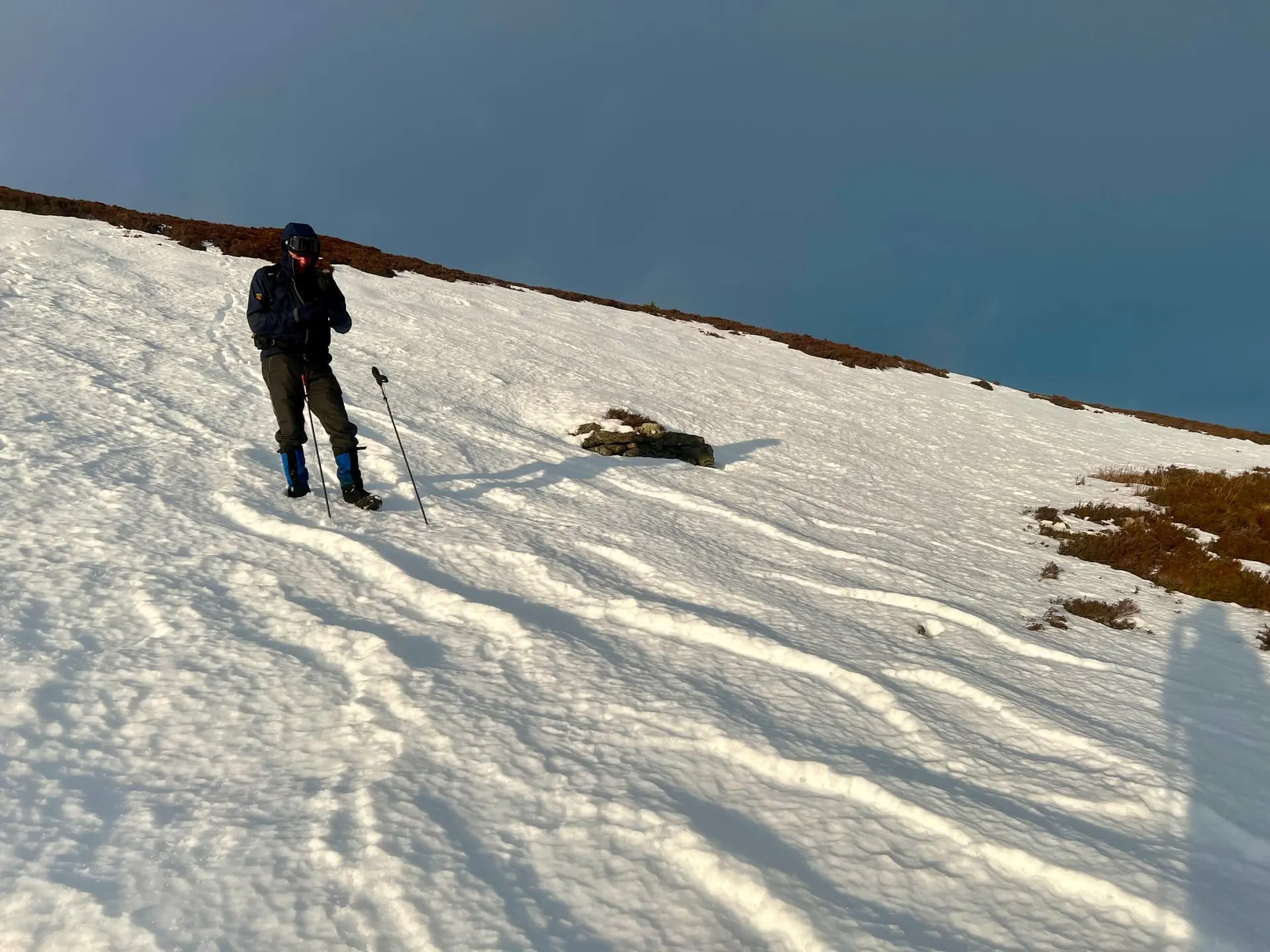
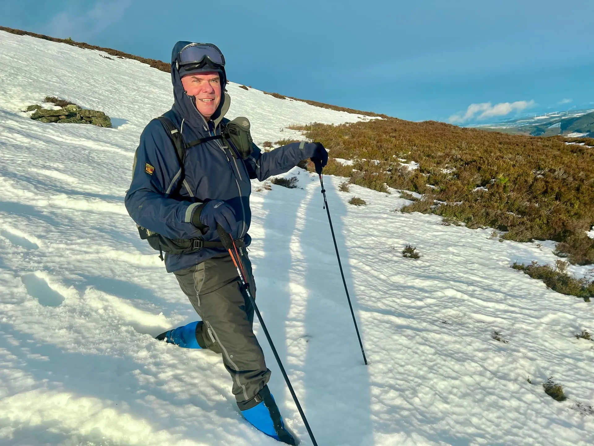
With all the summits done, it was time to head back. After a day of grey and light snow/showers, the sun final appears for a glorious walk down. Most of it on our feet too.
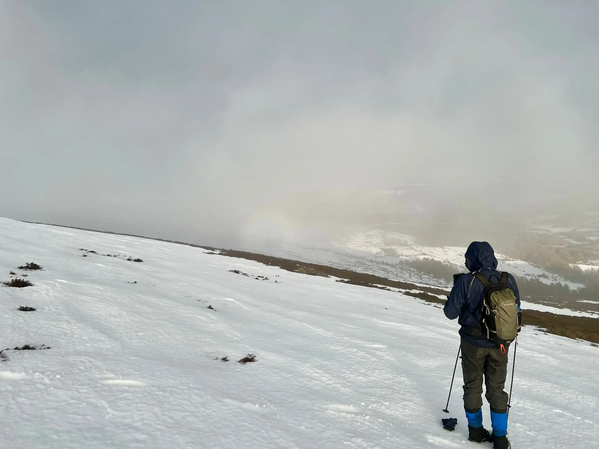
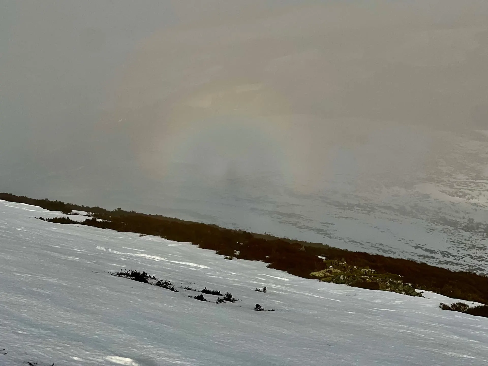
Even a good brocken spectre we tried to capture.😇
2026: A SOTA Odyssey 🗿
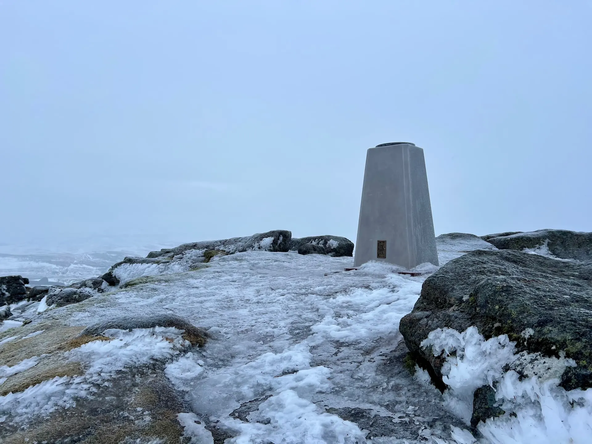
As Barry shared, the trig point of Ben Rinnes has evolved to its final form by the Friends of Ben Rinnes. With a layer of frost on it, it didn’t quite have the same impact as it would on a sunny day.
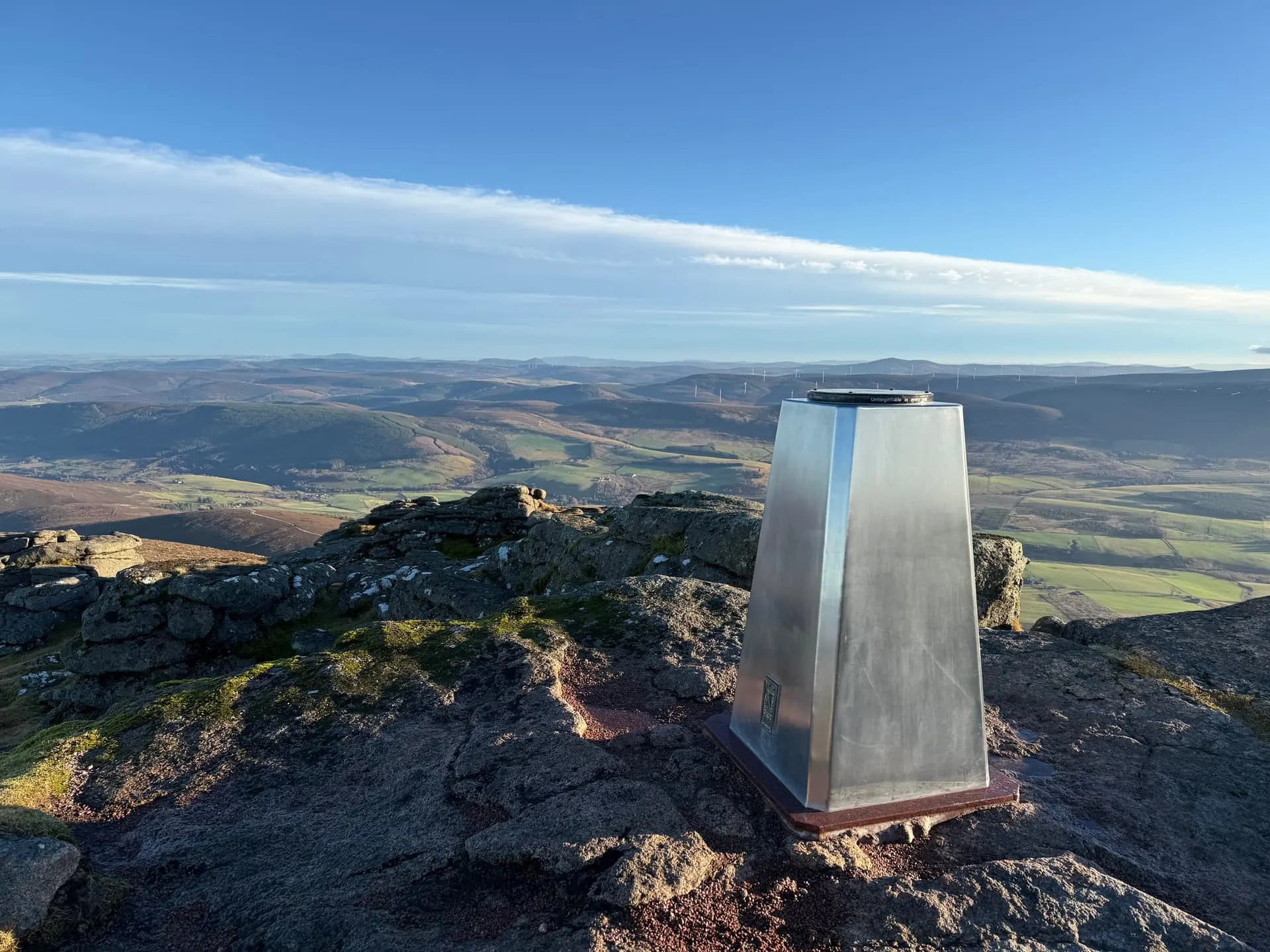
Also posted on the reflector.
On air
Route
Contacts
- GM/ES-021 11
- GM/ES-051 10
- GM/ES-057 10
- 40m 14
- 20m 15
- 2m 2
Log
| From | UTC | Call | Band | Mode | Sent | Rcvd | km | Ref |
|---|---|---|---|---|---|---|---|---|
| GM/ES-021 | 10:31 | GM4KJQ | 2m | FM | 59 | 59 | 35 | |
| GM/ES-021 | 10:34 | GM0VGI | 2m | FM | 59 | 55 | 53 | |
| GM/ES-021 | 10:39 | EA5/HB9HCS/P | 20m | SSB | 55 | 55 | 2,224 | EA5/MU-162 |
| GM/ES-021 | 10:39 | HB9DHA | 20m | SSB | 57 | 55 | 1,346 | |
| GM/ES-021 | 10:40 | SV3IEG | 20m | SSB | 59 | 44 | 2,799 | |
| GM/ES-021 | 10:40 | SQ9MDF | 20m | SSB | 59 | 57 | 1,662 | |
| GM/ES-021 | 10:41 | OE5WHR | 20m | SSB | 59 | 44 | 1,547 | |
| GM/ES-021 | 10:42 | EA1DHB | 20m | SSB | 55 | 55 | 1,609 | |
| GM/ES-021 | 10:42 | SQ9CWO | 20m | SSB | 59 | 57 | 1,573 | |
| GM/ES-021 | 10:43 | OH6JYH | 20m | SSB | 55 | 54 | 1,704 | |
| GM/ES-021 | 10:43 | I1WKN | 20m | SSB | 55 | 55 | 1,563 | |
| GM/ES-051 | 12:51 | G0FEX | 40m | SSB | 57 | 57 | 545 | |
| GM/ES-051 | 12:52 | GW0PLP | 40m | SSB | 59 | 58 | 597 | |
| GM/ES-051 | 12:52 | G4IPB | 40m | SSB | 59 | 55 | 316 | |
| GM/ES-051 | 12:53 | M0JLA | 40m | SSB | 59 | 57 | 596 | |
| GM/ES-051 | 12:53 | S57S | 40m | SSB | 52 | 52 | 1,758 | |
| GM/ES-051 | 12:53 | 2E0FEH | 40m | SSB | 55 | 33 | 784 | |
| GM/ES-051 | 12:54 | G5OLD | 40m | SSB | 57 | 44 | 666 | |
| GM/ES-051 | 12:54 | SQ9CWO | 40m | SSB | 44 | 44 | 1,571 | |
| GM/ES-051 | 12:55 | SP6OJG | 40m | SSB | 44 | 55 | 1,575 | |
| GM/ES-051 | 12:55 | G0HIO | 40m | SSB | 44 | 55 | 522 | |
| GM/ES-057 | 14:05 | G4IPB | 40m | SSB | 59 | 56 | 318 | |
| GM/ES-057 | 14:06 | G0FEX | 40m | SSB | 57 | 55 | 547 | |
| GM/ES-057 | 14:06 | 2M0RVZ | 40m | SSB | 59 | 57 | 58 | |
| GM/ES-057 | 14:07 | M0JLA | 40m | SSB | 57 | 46 | 598 | |
| GM/ES-057 | 14:09 | F4WBN | 20m | SSB | 57 | 57 | 1,557 | |
| GM/ES-057 | 14:09 | F5PYI | 20m | SSB | 57 | 55 | 1,448 | |
| GM/ES-057 | 14:10 | SQ9CWO | 20m | SSB | 55 | 56 | 1,571 | |
| GM/ES-057 | 14:12 | F4MUD | 20m | SSB | 55 | 53 | 960 | |
| GM/ES-057 | 14:12 | LZ4GL | 20m | SSB | 55 | 55 | 2,543 | |
| GM/ES-057 | 14:12 | F6IPR | 20m | SSB | 57 | 53 | 1,269 |