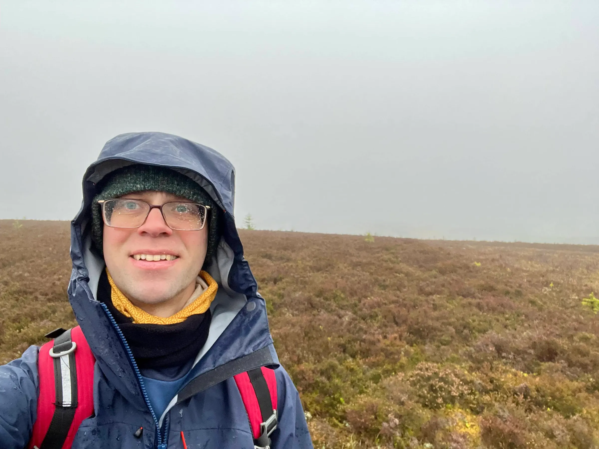
Coiliochbhar Hill
- Height
- 533 m
- Points
- 2+3 winter bonus
- Distance
- 8.6 km
- Ascent
- 201 m
- Time
- 2h 11m
- QSOs
- 14
- Bands
- 40m20m
The weather forecast wasn't great for today, with high winds and rain all day. I had planned on doing both Coiliochbhar and Lord Arthur's Hill together, as they're very close, and I did this last time. However, given the weather I decided to just do Coiliochbhar, this is because it has a nice wooded area right by the summit in the activation zone, and I could shelter there.
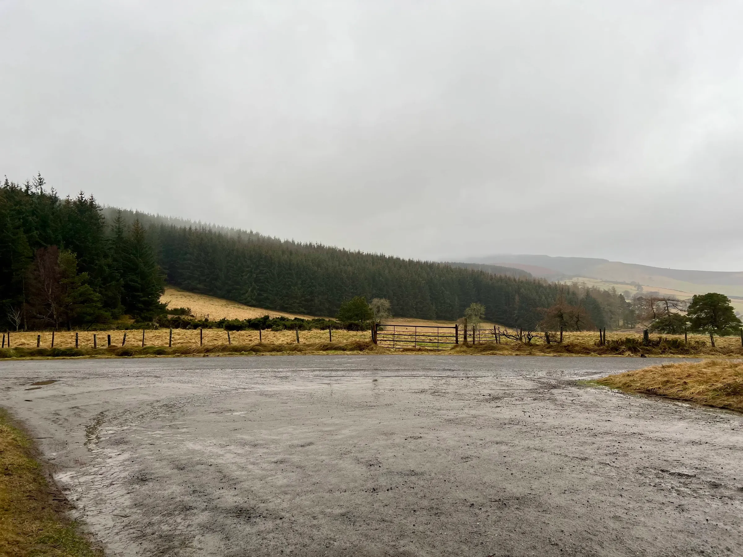
I thought I'd take a different route from last time, and was setting off south of the summit, and walking through some wind farm and forestry tracks before heading across the hill until you come to some woods again. The OS map appears to name the first summit you climb as Coiliochbhar hill, and there's a cairn at the top, but then there's a trig point and another cairn further on at the high spot which is where the SOTA summit is. It does mean the AZ is pretty large, and you have lots of space in the wooded area at the top to setup and be within the activation zone.
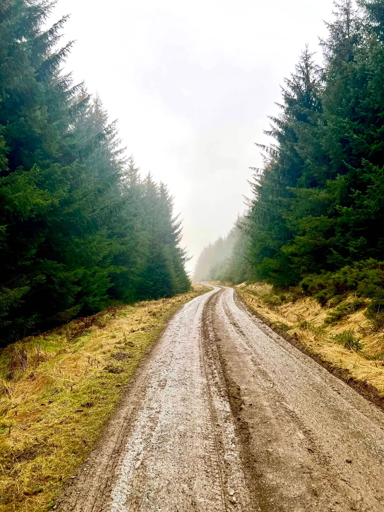
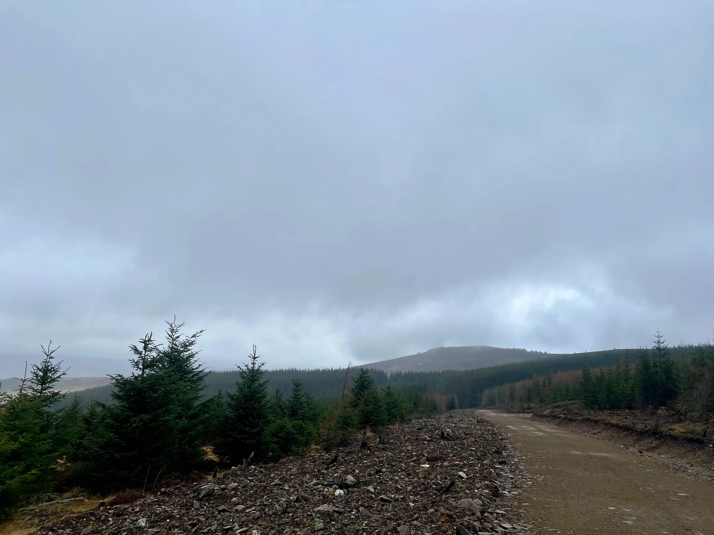
Much of the way at the start is in the shelter of trees and so the wind and rain didn't seem that bad. It wasn't really raining that much but I could hear the wind blowing around me. You do cross a field between wooded areas, and here the wind was more noticeable. It was behind me, so that helped! There seems to be a very new, and large, roadway that's been built in the second wooded area which isn't on the map. I didn't notice this fact at first as I assumed the path I was following was the track, but then I noticed I was heading downhill and away from the summit. I checked the map and realised I should've turned off and be following what looked like a fire break between the trees. I backtracked and found the turn off, following a very old and unused looking land rover track. This took me between the trees and then out onto the first summit of the hill. Being higher and exposed again the wind was back. This time it was much stronger, perhaps also picking up as the day went on. I would not want to be setting up a station in the open.
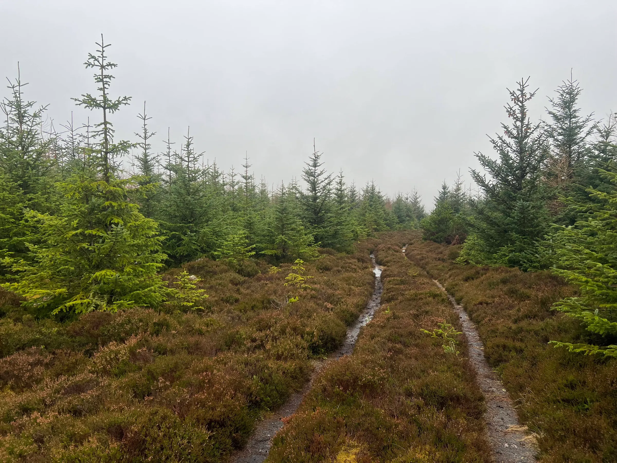
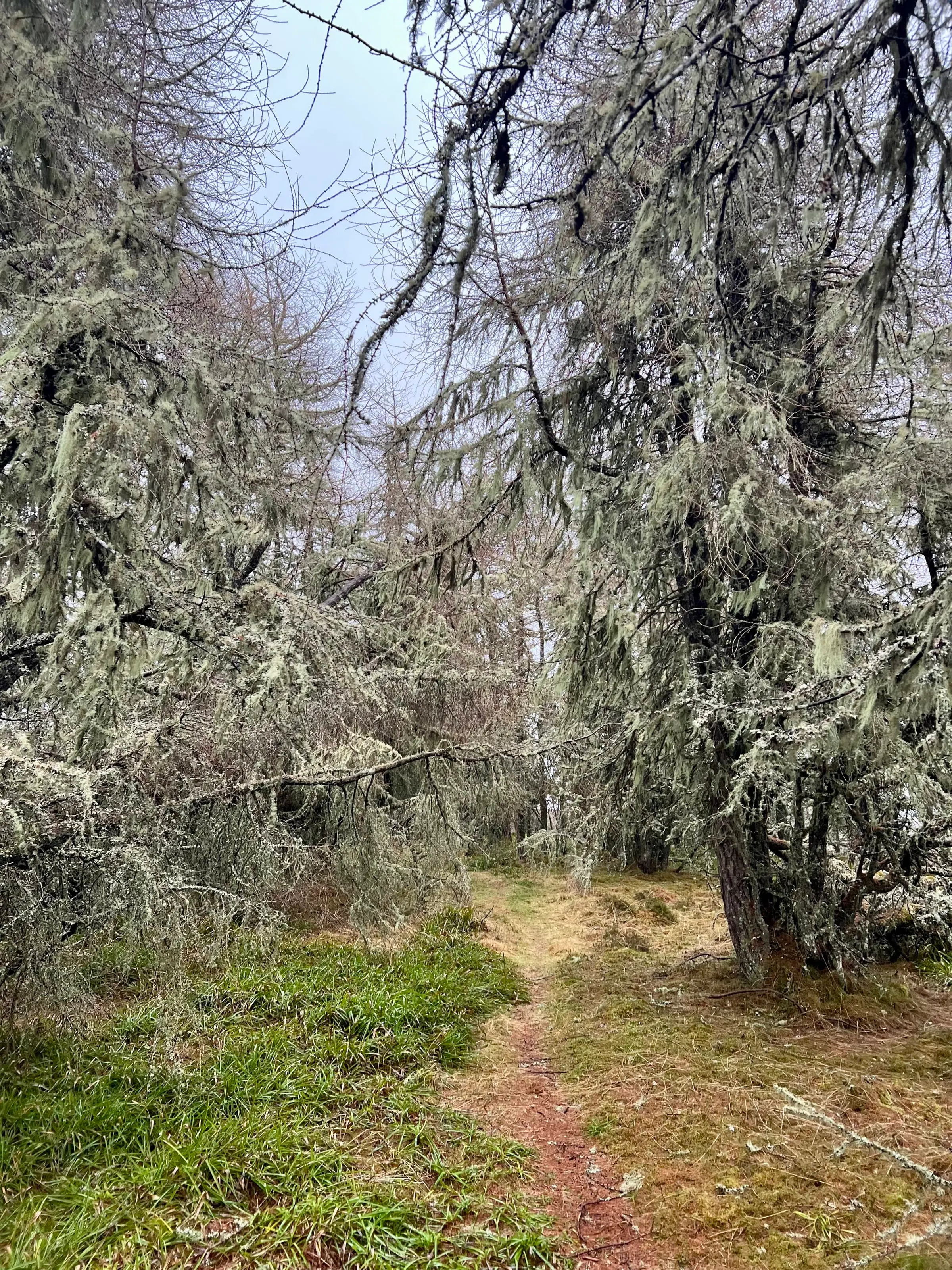
I reached the next wooded section, and now I was in the activation zone. Plenty of nice shelter under the trees! I found a spot and setup the mast, making sure to thread the antenna wire between the branches so I could get it out and across. I tied it to a tree on the other side of the path. I tried 40m first, and had a few contacts. I noticed my KX2 was only outputting 5W, so it must've been a few activations since I last charged it. I switched to 20m and found a few more contacts. Quite a few 44s or 33 reports, so not as good as Wednesday. Not sure if all the trees around absorb some rf? Anyway, enough contacts for the day as things were starting to get quite wet.
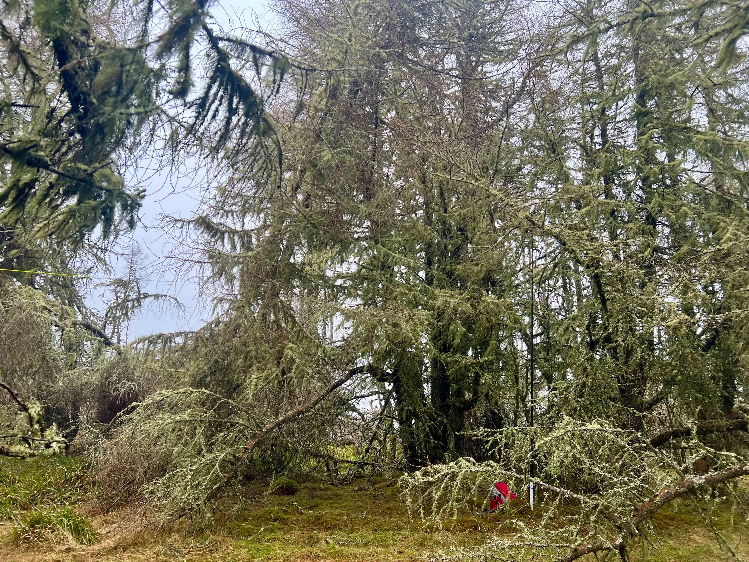
I went to look at the summit, even though I've recently been there, but several trees were blown down across the path, and I didn't really need to see it that much to bother scrambling over them. Fraser was doing an activation later to celebrate his retirement today, and I wanted to make sure I was home and set up for that, so just headed back. This time into the wind and rain, which now seemed to be coming down more than when I started. I was well waterproofed up and was dry the whole time, apart from my face. If I sound like I'm complaining, I'm not, it was quite the exhilarating walk in the wet and wild. Whilst I was in the trees, and lulled into thinking things were calm, I thought about doing Lord Arthur's, but as soon as I was back out in the exposed fields I realised that was not a good idea. There is a small cairn you can hide inside on LA but not much cover from the rain. I don't mind cold, or wind but wet is just a pain with the radio. I also probably don't want to do all the nearby summits too soon anyway!
On air
| Ref | Name | Height | Pts | UTC | QSOs | Bands |
|---|---|---|---|---|---|---|
| GM/ES-060 ✓ | Coiliochbhar Hill | 533 | 2+3 | 10:48–11:07 | 14 | 40m20m |
Route
Contacts
- 40m 5
- 20m 9
Log
| UTC | Call | Band | Mode | Sent | Rcvd | km | Ref |
|---|---|---|---|---|---|---|---|
| 10:48 | 2M0RVZ | 40m | SSB | 59 | 57 | 32 | |
| 10:49 | GM6ZAK | 40m | SSB | 59 | 57 | 103 | |
| 10:50 | F5PYI | 40m | SSB | 57 | 55 | 1,419 | |
| 10:51 | G0FEX | 40m | SSB | 57 | 55 | 521 | |
| 10:52 | G4IPB | 40m | SSB | 59 | 55 | 292 | |
| 10:55 | GW0PLP | 20m | SSB | 59 | 59 | 581 | |
| 10:56 | EA2DT | 20m | SSB | 57 | 44 | 1,606 | |
| 10:56 | PB2T | 20m | SSB | 59 | 55 | 790 | |
| 10:57 | SQ9CWO | 20m | SSB | 55 | 44 | 1,544 | |
| 11:00 | F1OGV | 20m | SSB | 33 | 53 | 1,000 | |
| 11:01 | DL8DXL | 20m | SSB | 59 | 55 | 1,269 | |
| 11:02 | SQ9MDF | 20m | SSB | 57 | 42 | 1,633 | |
| 11:03 | F4ISZ | 20m | SSB | 57 | 31 | 1,207 | |
| 11:07 | MW0CBC | 20m | SSB | 59 | 57 | 612 |