Ladylea Hill, Ben Newe & Pressendye
GM/ES-049GM/ES-053GM/ES-047 GB-0835
- Summits
- 3
- Distance
- 37.9 km
- Ascent
- 1,016 m
- Time
- 5h 09m
- QSOs
- 32
- Bands
- 40m2m
Ladylea Hill
Another day off, and some more SOTA summits to activate! Today I wanted to knock off some 2-pointers with winter bonus that I've not climbed before. First on the list was Ladylea Hill. I did have some concerns when driving to Ladylea and droves of tweed men with hounds were scratching around with shotguns looking for turkeys or something. Luckily they were a couple of hills over and I wasn’t going to get shot.
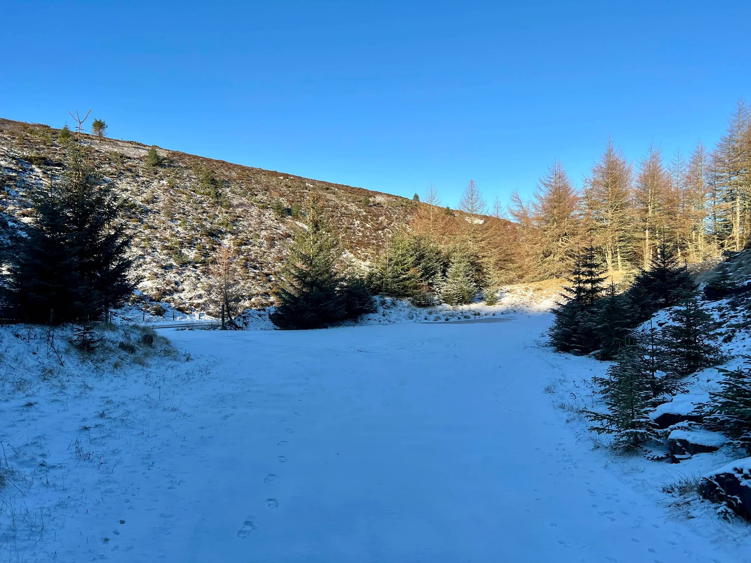
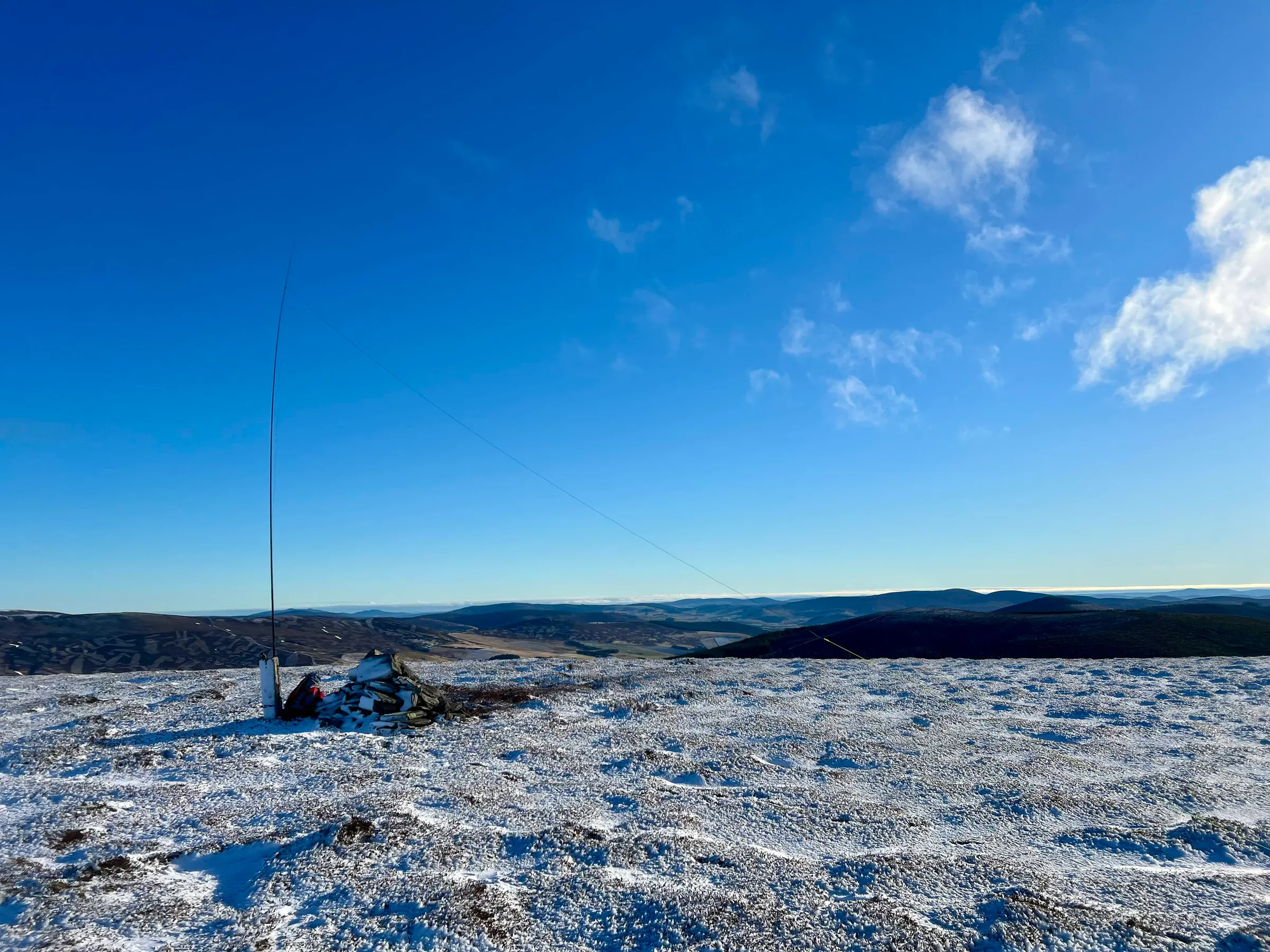
It seems anything west of Morven was covered with snow and Ladylea was one of those. The main concern was parking, and not being able to get the car out once I returned to it. So I just parked on the verge pointing downhill, even though there is a nice off road parking area. The ascent is pretty quick and I was soon on the summit. There was no wind whatsoever and the wire didn’t even flinch on the mast. Whilst it was chilly it was very pleasant in the sun. The clouds were over the high peaks and it did gradually moved east during the day.
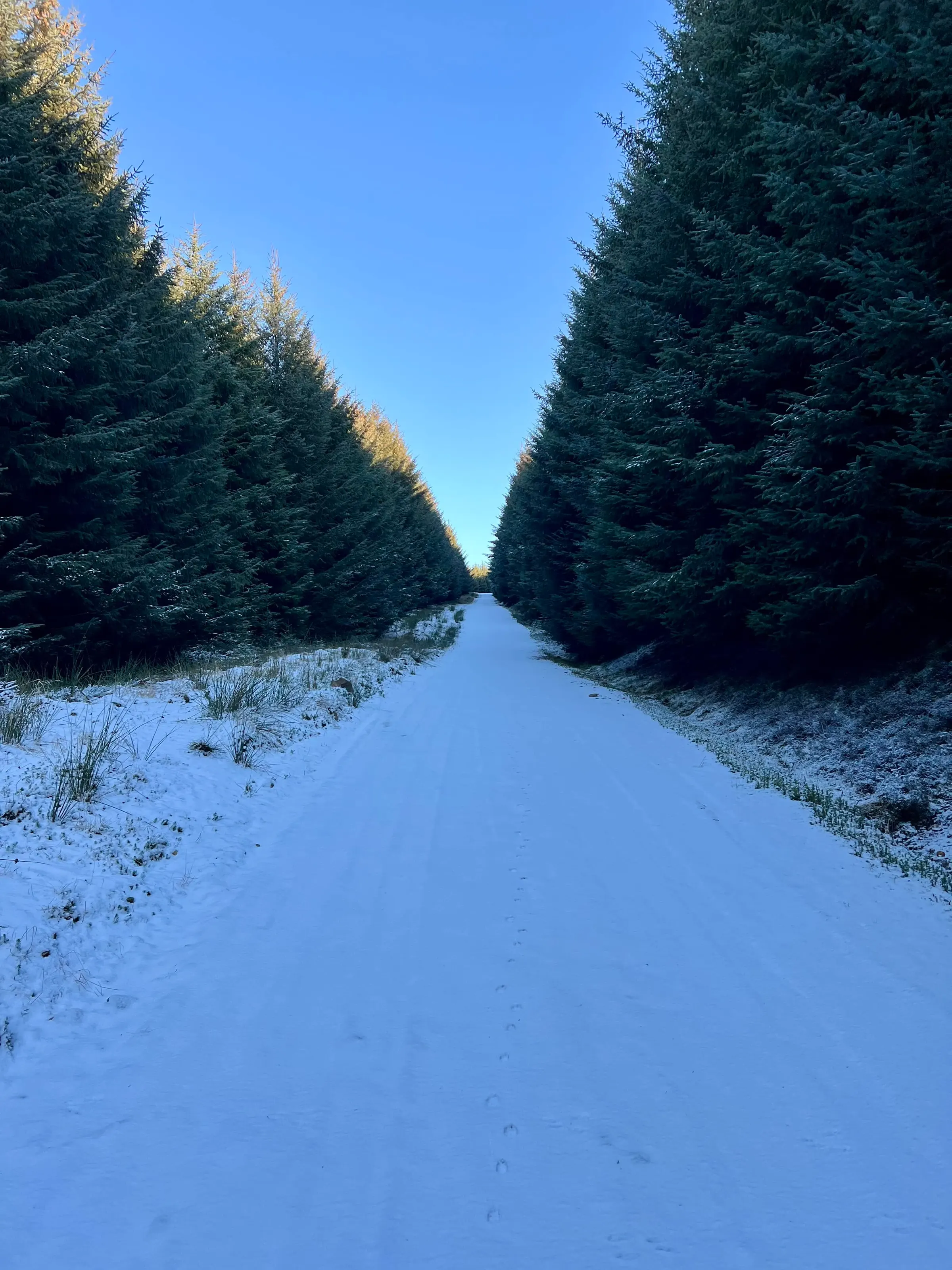
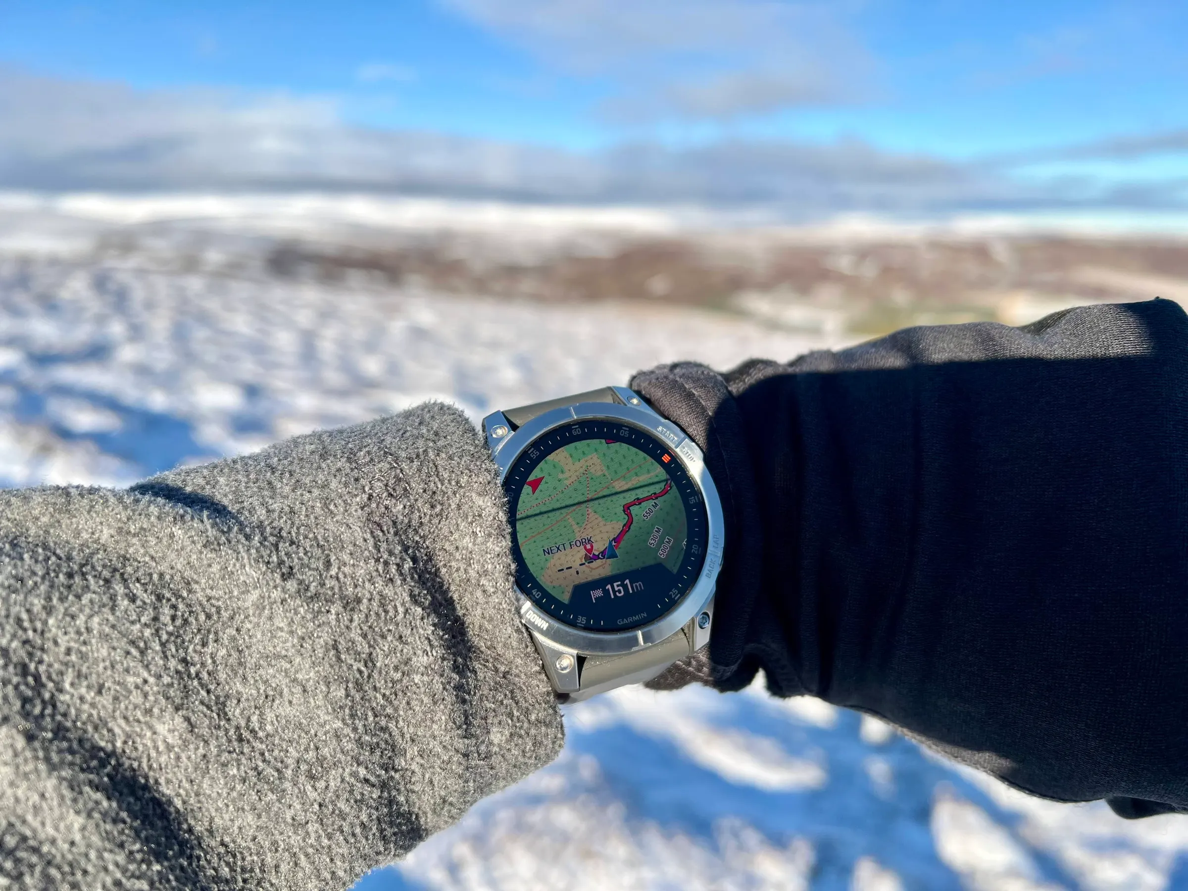
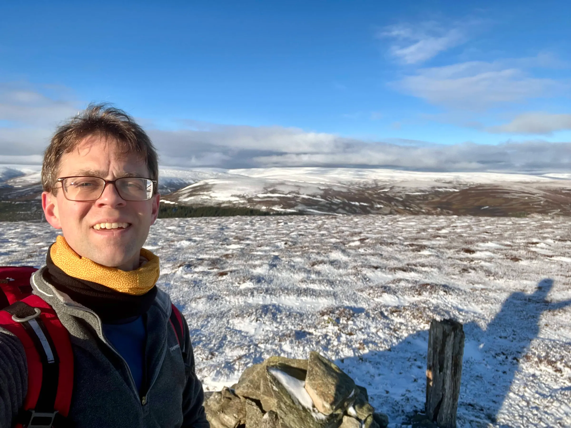
The top has a convenient post for securing a mast to. I decided just to do 40m and 2m today and both were active at an easy pace.
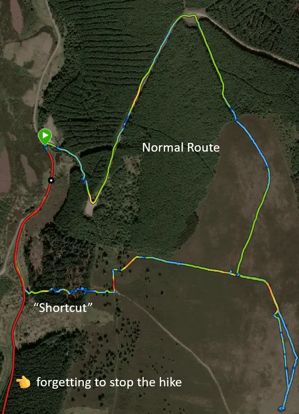
On the way down from Ladylea, a path leading straight down was too tempting as a shortcut - especially as I still had two more to go. I looked at the map and whilst the path didn’t return to the road, there was just a short stretch of forest to walk through, so I figured "why not". It started well, making good progress down the hill, until I came to the forest, surrounded by fencing. I did spy a gap under it, which I had to literally crawl through!
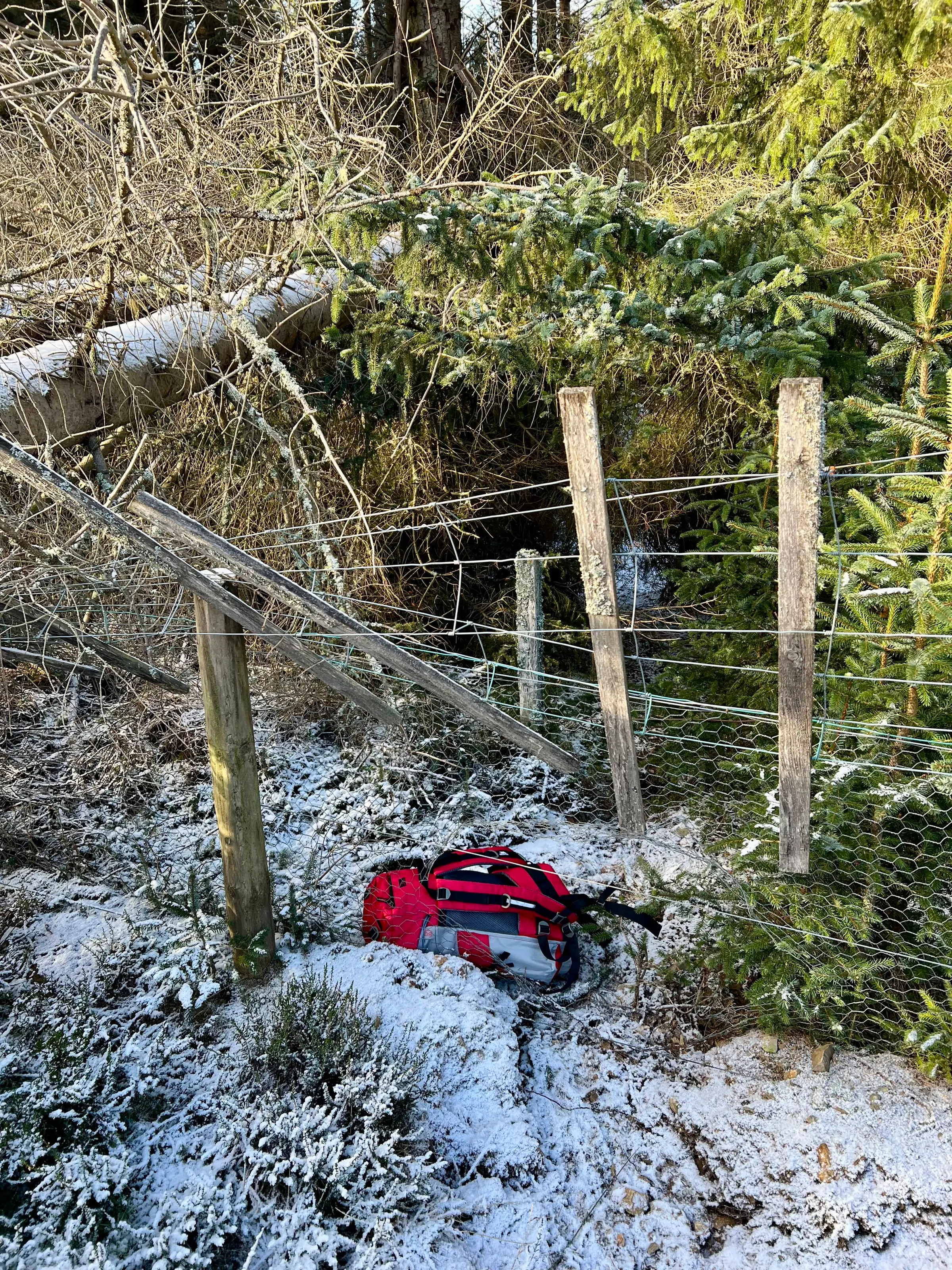
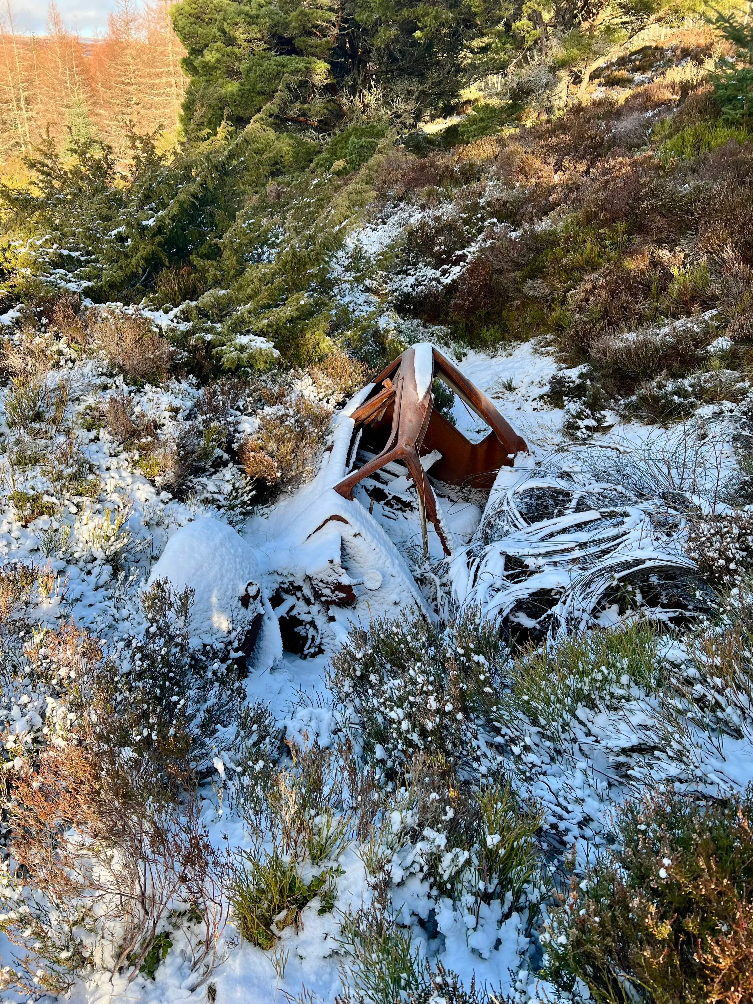
That was only the start of my problems, as the forest was thick fallen trees, and I had to scramble over and under them to make any progress, but by this time I wasn't going to go back up the hill now. So I pushed on.
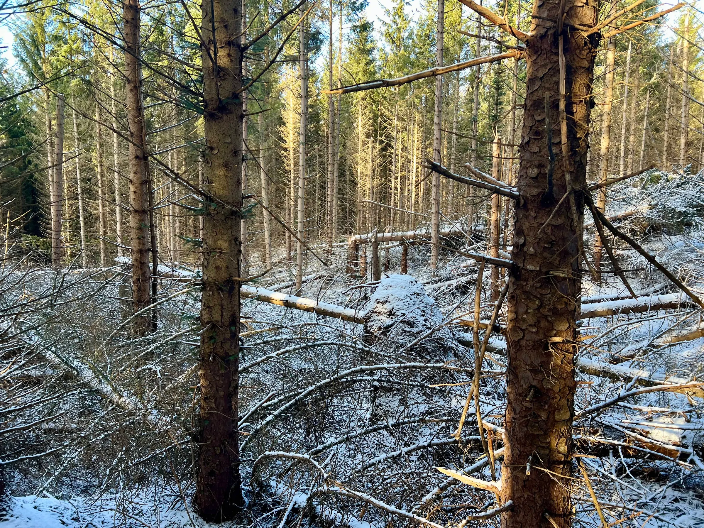
Eventually I made it through and out onto the road, where I walked back to the car. Looking at my route and satellite imagery, I do wonder if it would've been better to walk further south and avoid the trees. Although at the time I don't remember it looking clear.
Well on to the next one, Ben Newe!
Ben Newe
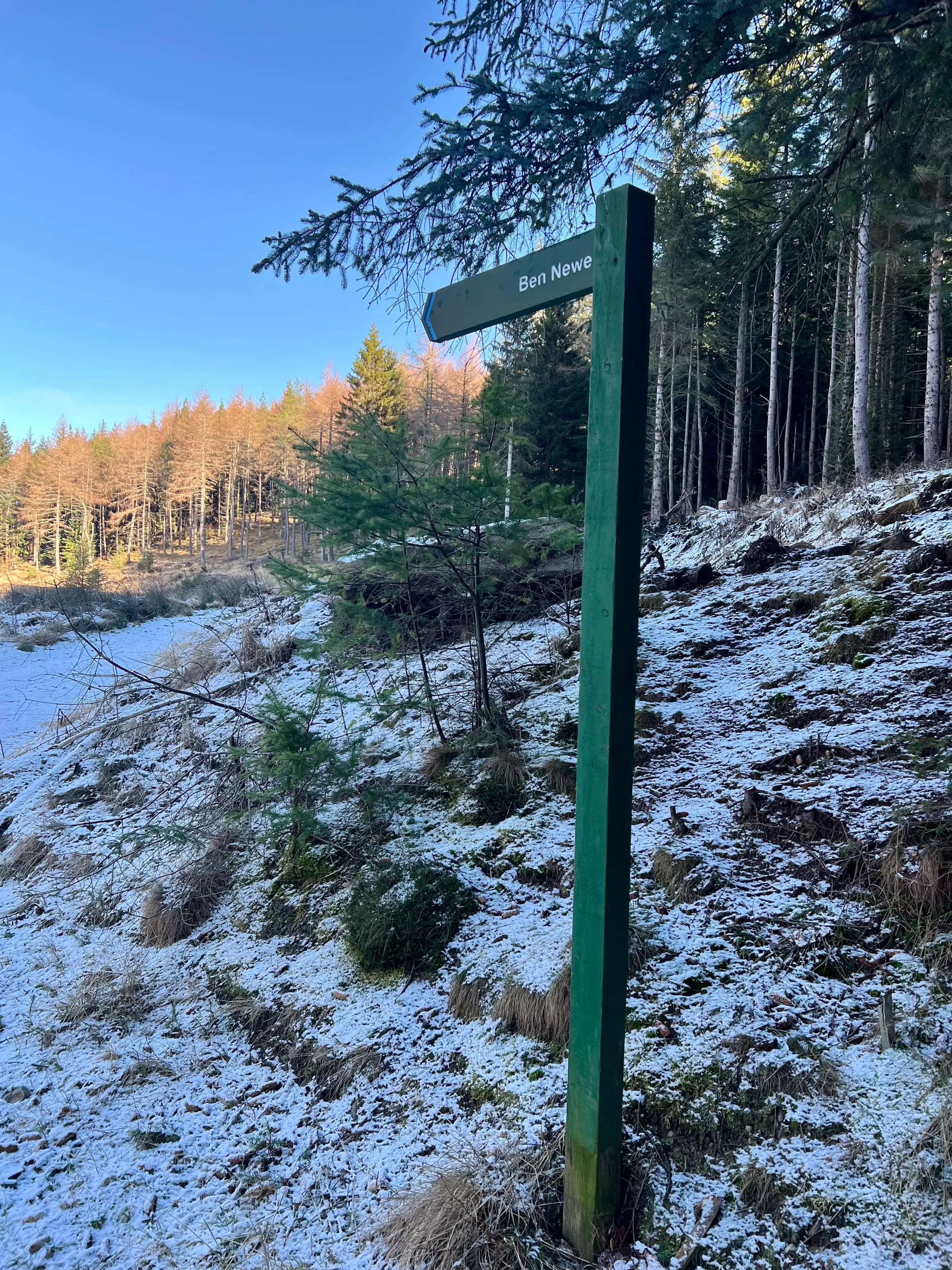
The middle hill of the day and just a short drive from Ladylea. Again, a fairly short route up, following the signs and path. Someone else and their dog had been up before me, as I was following their footsteps the whole way.
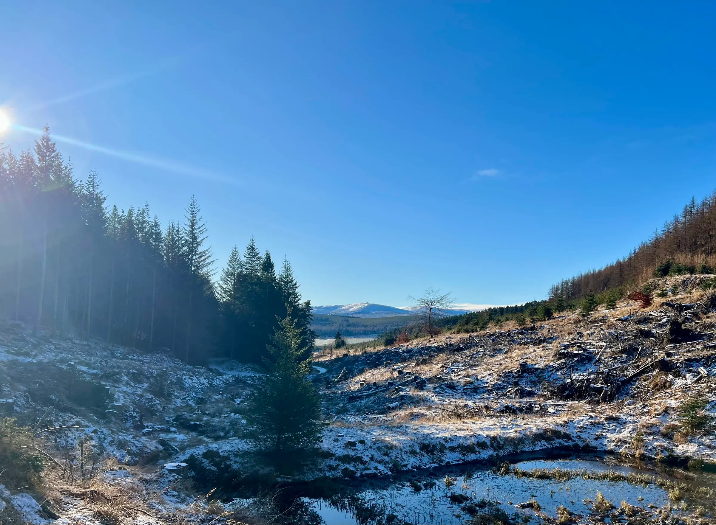
There were still jet planes flying around and whilst you can't really see them, this picture has them just at the peak of the hill in the far distance. I didn't quite manage to zoom in on my phone before they were gone. It's still a nice view even without them.
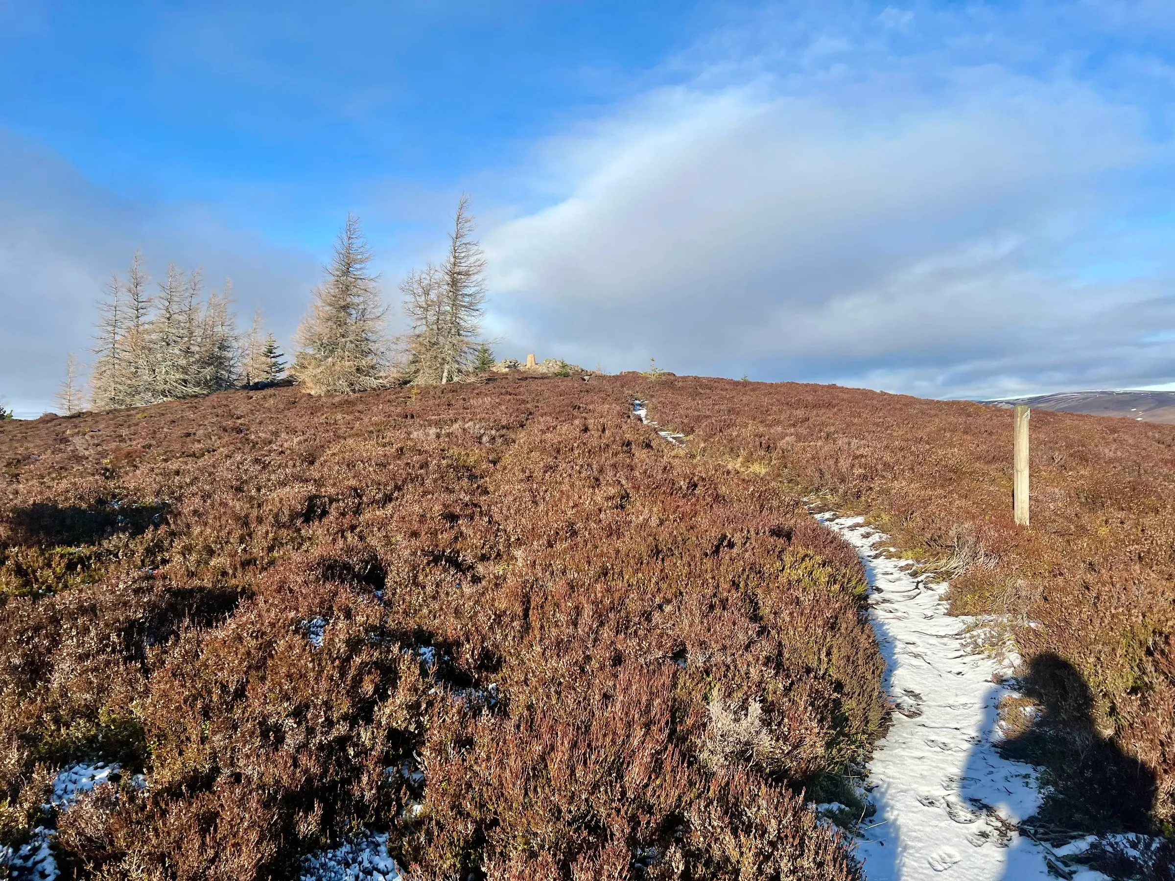
Once you round the path to the base of the heather hill, you do find there are several paths up to the top. The sign posts take you the longest way around, but there are several tracks leading straight up. So after following the path for a bit, I decided to head across the heather and join one of these tracks leading up to the summit. There are a few trees at the top, so this would be a good summit on a windy day. As with Ladylea, there was hardly any wind at all, and I setup right on the trig.
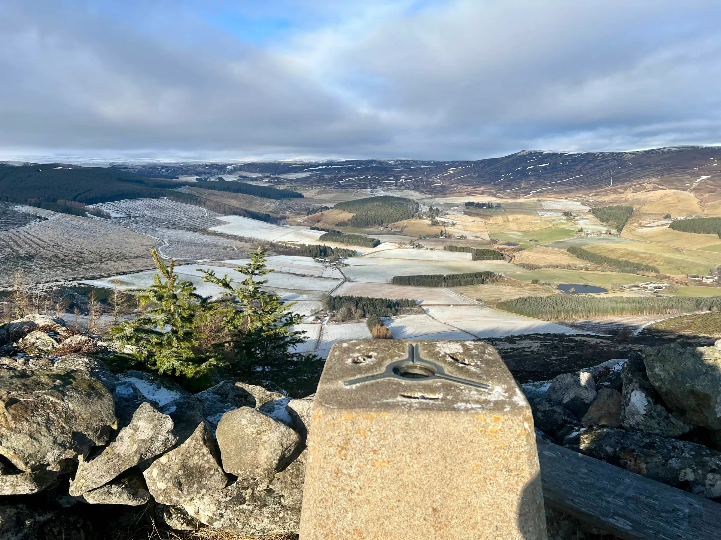
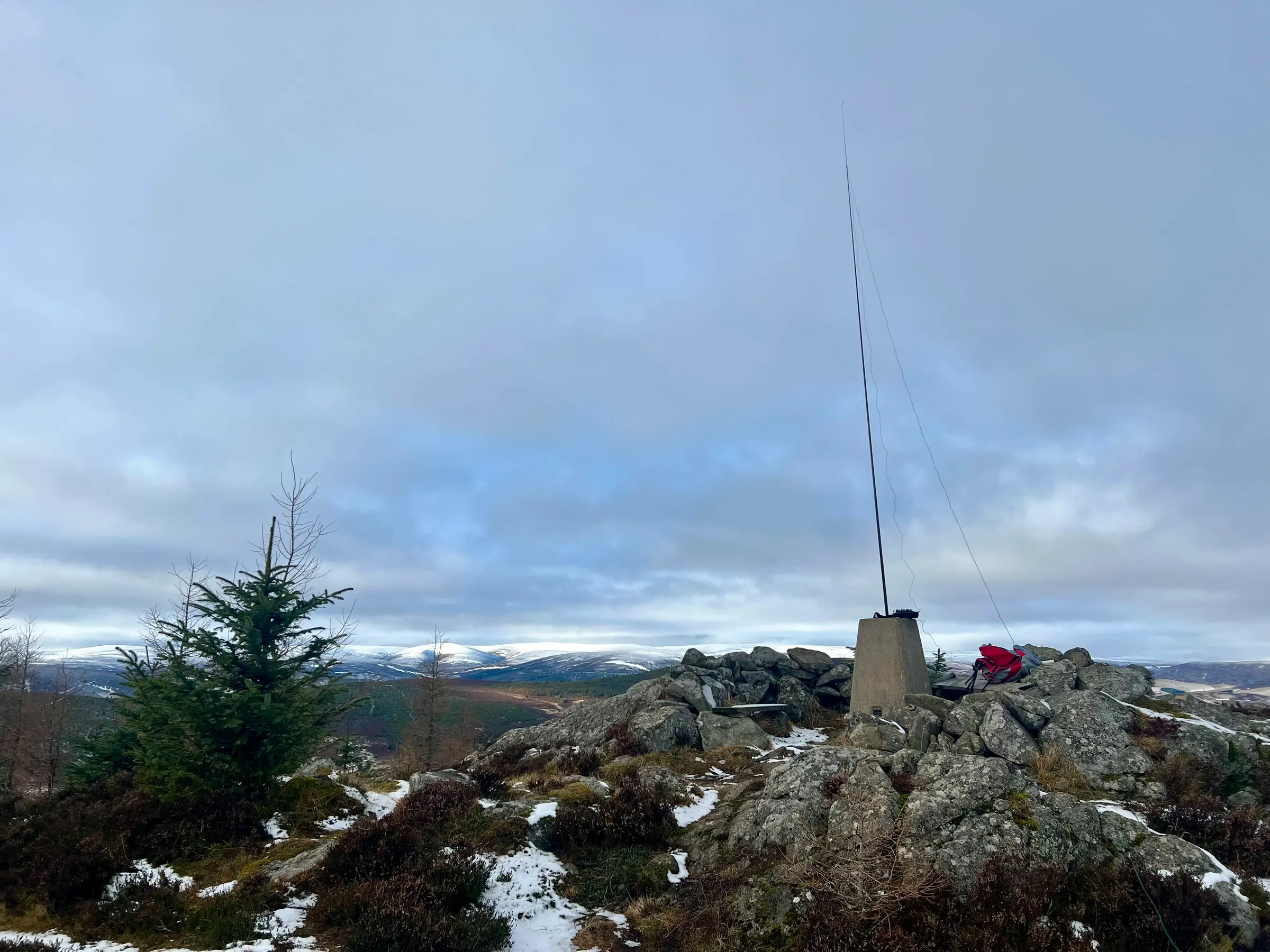
The trig point has a few wooden planks around it, that act like benches, so you can get quite comfy up here, as long as the wind isn't too cold. I'd called on 2m first, and then moved onto 40m. Not masses of activity but perfectly pleasant enough on both bands getting some contacts. As I spoke with Fraser, MM0EFI, he said he was heading to Kerloch to climb that. I was meant to be doing a summit to summit with him on my next peak, so I quickly got packed up and headed down through the trees on a more direct path back to the car.
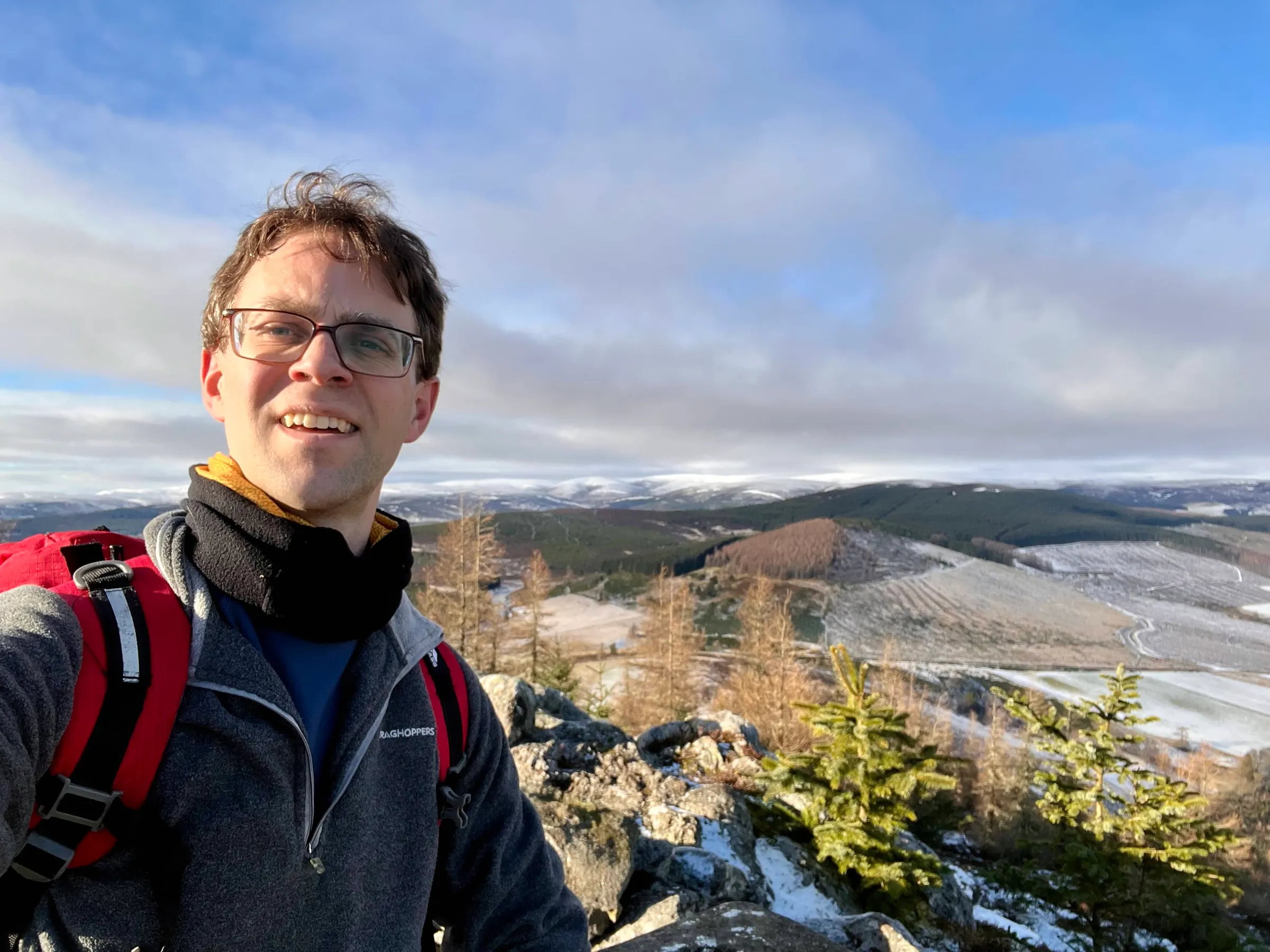
Pressendye
I headed over to Tarland and the Douneside Hotel were I was going to park for the ascent. Fraser, MM0EFI, was off up Kerloch and was going to arrive at 2:30pm. My route up was the longest of the day, and I estimated around an hour to get to the top, and so had to get a march on to make sure I was on time! In the end it only took me 45 minutes but I was quite tired when I got to the top!
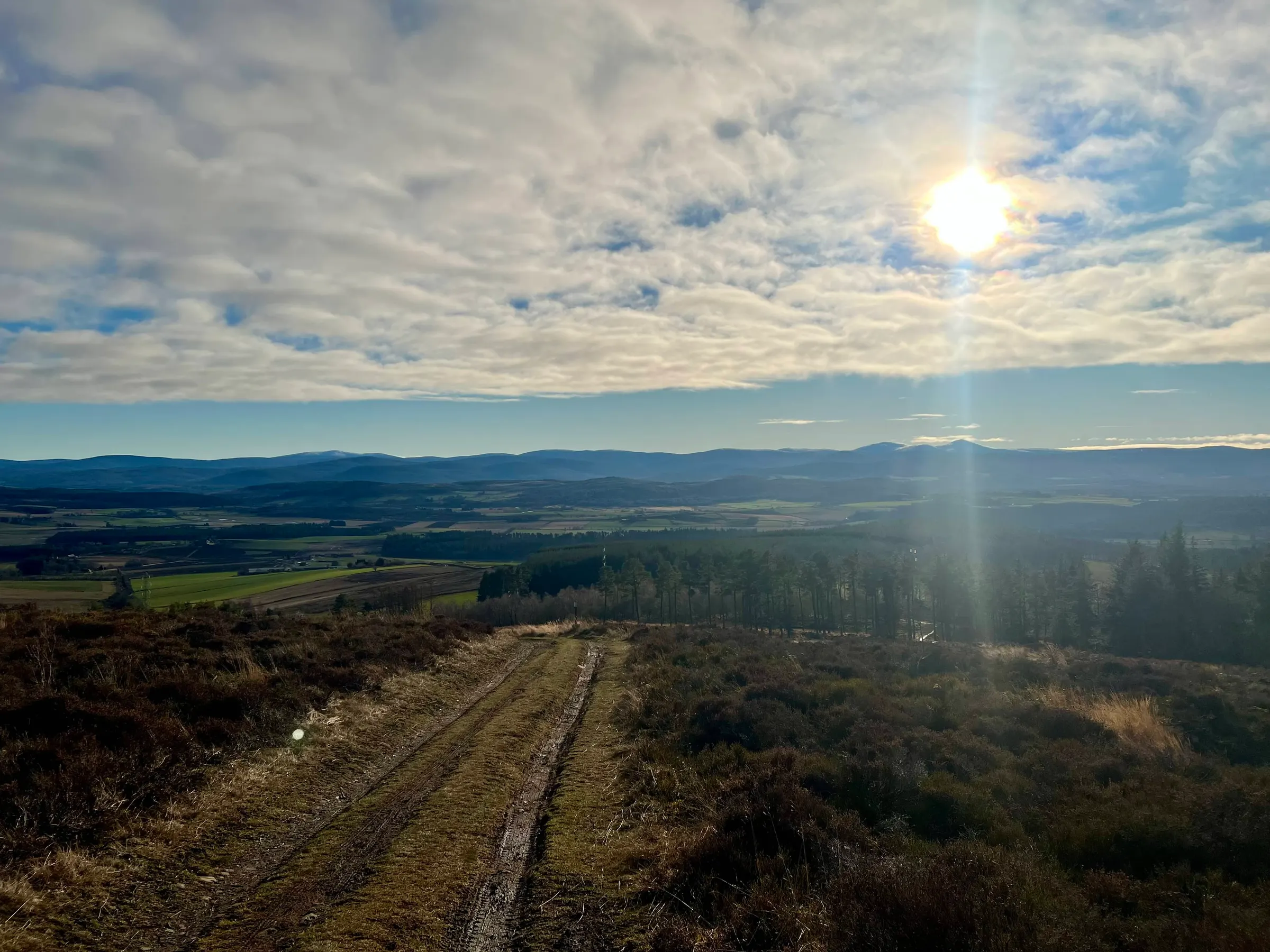
The cloud had been moving further east, but so had I, and I was still enjoying the blue skies, particularly if I looked towards Aberdeen. I got a bit lost going through the Tarland trails mountain biking course and ended up walking along some of it and then between it as a few bikes were about. On the way back down I realised I should've walked further away from the summit to find the footpath, but on the way up I was trying to take the most direct route possible!
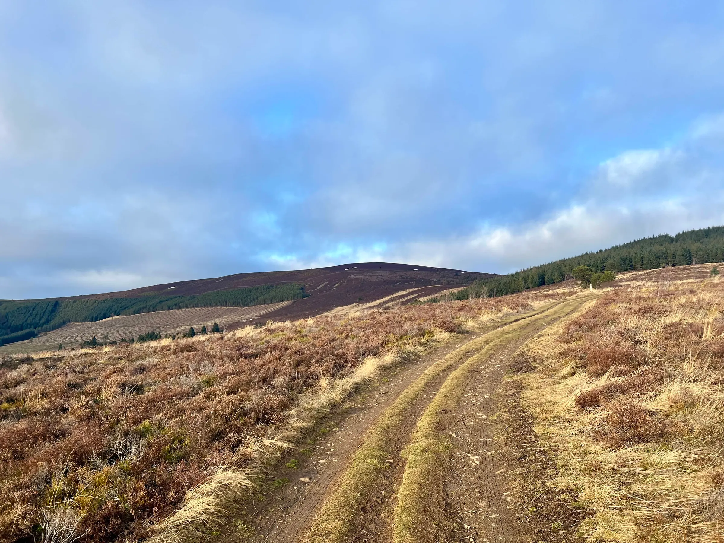
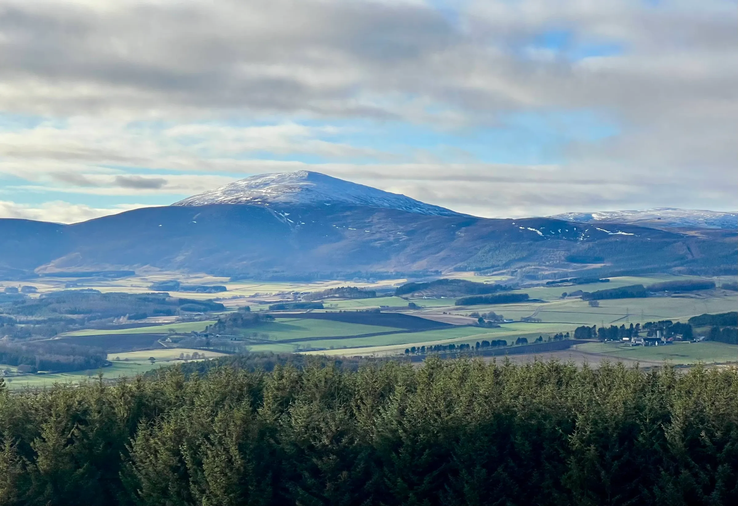
The views were still good, I particularly liked Morven. I got to the top just before Fraser was on the summit and I called CQ on my HT. I managed to work him and then 3 more stations around. I had originally thought about setting up HF, but it was getting on and I needed to get home, so with the minimum 4 QSOs to qualify I headed back down the hill and home again. 15 points today, 3 new summits and a complete on Kerloch.
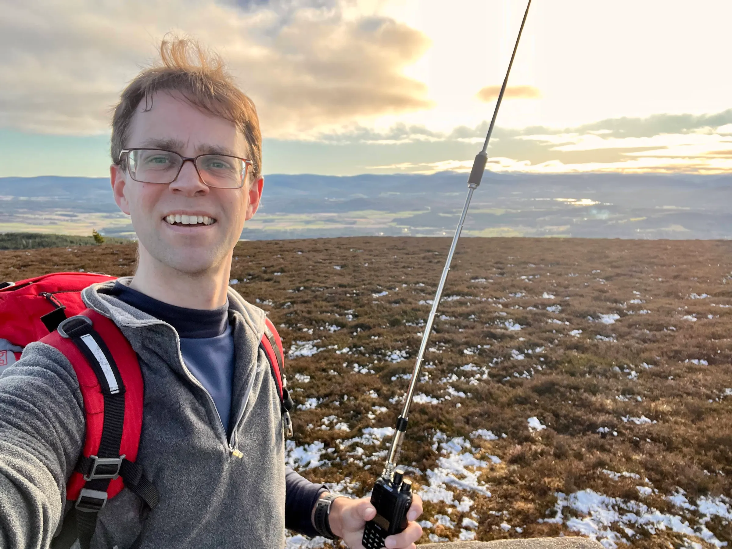
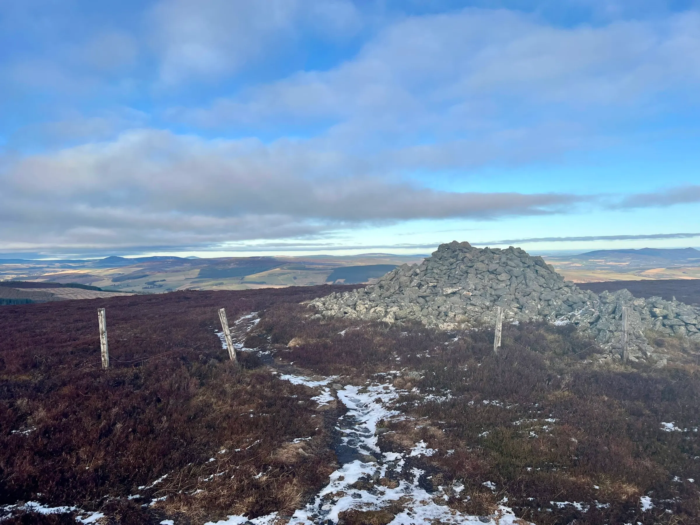
The summit does have a nice big cairn, and posts giving plenty of mast and shelter options.
On air
Route
Contacts
- GM/ES-049 16
- GM/ES-053 12
- GM/ES-047 4
- 40m 21
- 2m 11
Log
| From | UTC | Call | Band | Mode | Sent | Rcvd | km | Ref |
|---|---|---|---|---|---|---|---|---|
| GM/ES-049 | 10:55 | G4IPB | 40m | SSB | 55 | 55 | 295 | |
| GM/ES-049 | 10:56 | G0FEX | 40m | SSB | 57 | 55 | 524 | |
| GM/ES-049 | 10:57 | EI6FR | 40m | SSB | 58 | 56 | 542 | |
| GM/ES-049 | 10:57 | G5OLD | 40m | SSB | 55 | 53 | 645 | |
| GM/ES-049 | 10:58 | ON7ZM | 40m | SSB | 59 | 44 | 926 | |
| GM/ES-049 | 10:58 | G4HQB | 40m | SSB | 57 | 55 | 544 | |
| GM/ES-049 | 10:58 | M0MDA | 40m | SSB | 57 | 57 | 398 | |
| GM/ES-049 | 10:59 | ON4FI | 40m | SSB | 57 | 55 | 886 | |
| GM/ES-049 | 11:00 | M0OVW | 40m | SSB | 57 | 55 | 667 | |
| GM/ES-049 | 11:00 | G6LKB | 40m | SSB | 59 | 55 | 339 | |
| GM/ES-049 | 11:01 | GI4SZW | 40m | SSB | 57 | 44 | 397 | |
| GM/ES-049 | 11:02 | G4OIG | 40m | SSB | 55 | 54 | 572 | |
| GM/ES-049 | 11:02 | GM4JXP | 2m | FM | 59 | 55 | 26 | |
| GM/ES-049 | 11:05 | MM0EFI | 2m | FM | 59 | 41 | 13 | |
| GM/ES-049 | 11:05 | MM0RFN | 2m | FM | 59 | 34 | 58 | |
| GM/ES-049 | 11:14 | 2M0RVZ | 2m | FM | 55 | 52 | 48 | |
| GM/ES-053 | 12:26 | GM4JXP | 2m | FM | 59 | 57 | 22 | |
| GM/ES-053 | 12:27 | MM0RFN | 2m | FM | 59 | 55 | 54 | |
| GM/ES-053 | 12:38 | MM0EFI/M | 2m | FM | 58 | 51 | 9 | |
| GM/ES-053 | 12:44 | 2M0RVZ | 40m | SSB | 59 | 59 | 44 | |
| GM/ES-053 | 12:45 | G6LKB | 40m | SSB | 57 | 55 | 337 | |
| GM/ES-053 | 12:45 | G4AFI | 40m | SSB | 59 | 56 | 677 | |
| GM/ES-053 | 12:46 | G0FEX | 40m | SSB | 58 | 57 | 521 | |
| GM/ES-053 | 12:46 | MM7VXJ | 40m | SSB | 59 | 54 | 167 | |
| GM/ES-053 | 12:47 | G5OLD | 40m | SSB | 57 | 55 | 643 | |
| GM/ES-053 | 12:48 | 2W0ILQ | 40m | SSB | 59 | 55 | 629 | |
| GM/ES-053 | 12:49 | 2E0FEH | 40m | SSB | 55 | 44 | 762 | |
| GM/ES-053 | 12:49 | G4OIG | 40m | SSB | 59 | 55 | 568 | |
| GM/ES-047 | 14:18 | MM0EFI/P | 2m | FM | 59 | 59 | 28 | GM/ES-059 |
| GM/ES-047 | 14:20 | MM0RFN | 2m | FM | 59 | 59 | 43 | |
| GM/ES-047 | 14:21 | GM4JXP | 2m | FM | 59 | 59 | 12 | |
| GM/ES-047 | 14:31 | 2M0RVZ | 2m | FM | 59 | 59 | 34 |